
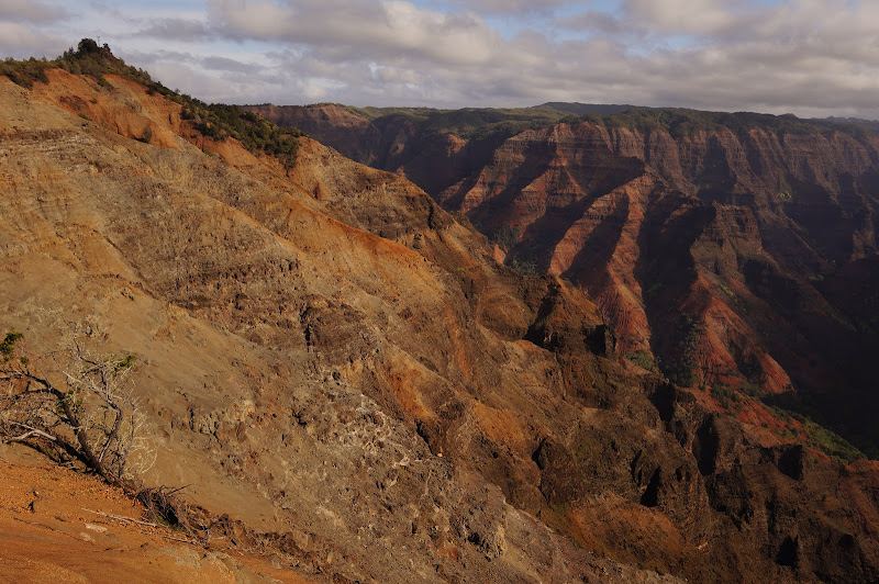
Waimea Canyon looks as if it could be in the Utah "red rock" country, except that the reddish rock is mostly volcanic, not sandstone. On the way to our trailhead we stopped at a few of the overlooks, taking advantage of a rare, mostly clear day:
After passing a small lodge area and some government installations, the road ends at Puu o Kila, an overlook from which the much more lush Kalalau Valley can be seen:

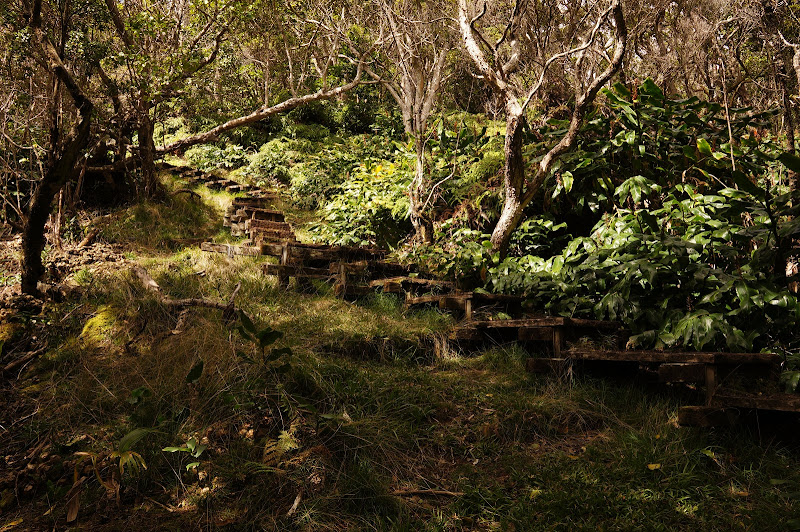
From here, the Pihea Trail leads east. The first part of this trail is the remnant of an aborted road, and is wide and heavily rutted, making it seem more like Bryce Canyon than lush Kauai:

However, views into the Kalalau Valley are frequent, and since we were blessed with a clear day, so were views out across the Alakai Swamp towards Waialeale and Kawaikini, which were cloaked in clouds.

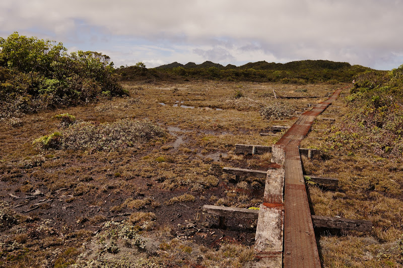
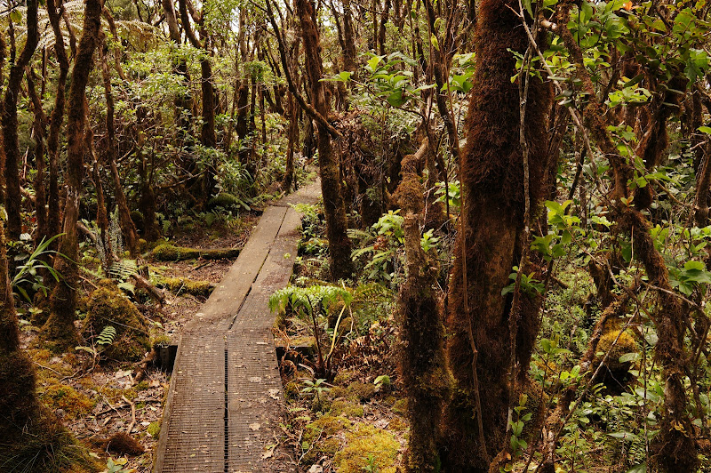
After a few particularly steep, slippery, and rutted sections, a junction is reached--a short spur leads to the top of Pihea (from which the views are no better than those already seen along the trail), while the Pihea Trail itself descends to the Alakai Swamp trail. After a few hundred yards, the trail becomes an impressive boardwalk which continues all the way to its end at Kilohana with the exception of one 1/2 mile or so section. This trail follows the route of a WW II-era telephone line; several old poles are still visible.
The Alakai Swamp isn't a true swamp, but rather a high, flat area that is always wet due to incessant rain. The boardwalk was already showing the effects of this moisture in places.


Four miles and change from the trailhead, the trail ends abruptly at Kilohana, an overlook from which the Princeville/Hanalei area of Kauai can be seen--on a clear day such as the one we had.

Ob Bop (Wainiha Valley in background):

We did the trail as an out-and-in; with multiple cars, some semi-loops are possible. So, it was back to the boardwalks, enjoying an occasional break in the thin cloud cover. From near Kilohana we could see the white "ball" of the Air Force station and the wide red rut of the start of the Pihea Trail.
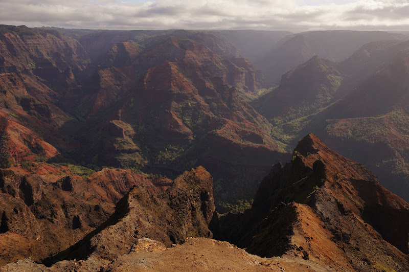
At Kilohana we had been maybe 9 miles from Princeville, but no road or even trail connects the Kokee/Alakai area with the Hanalei area, requiring a 2+ hour drive around the island for us to return to Princeville. On the way back, we stopped for more views of Waimea Canyon:

With all the driving, it was a long day, but the hike itself was mostly level, and the worst spots are in the first few miles, before the boardwalk begins.
More Pictures
Edited 1 time(s). Last edit at 03/20/2013 09:47PM by basilbop.

