I've been doing it for years by hiking the abandoned trails, or by pleasant off-trail walks, or hiking some of the more interesting climbers' access trails. Or, in some cases, by doing ferocious bushwhacks. Following some recent requests, I sat down an made a list of the interesting ones that are in the Valley, or at least within an area bounded by Tioga Pass Road on the north and Glacier Point Road on the south.
To the north and east of the Valley there are limitless possibilities for off-trail hikes on the slickrock and in the high country. Therefore my list is limited to the stuff closer to the Valley, where wooded terrain and steep hillsides can make the route finding interesting, and where there is a lot of history to discover.
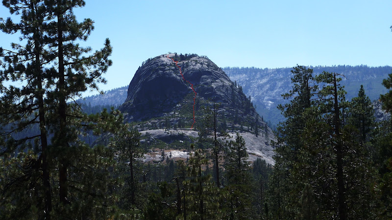
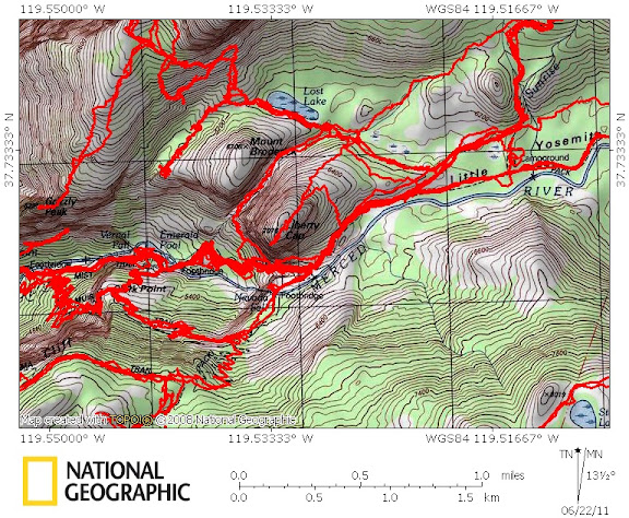
This figure shows 32 routes that meet my criteria. I've personally done almost all of them. The few that I haven't gotten around to yet, or advise against now, are in parentheses and will be explained below.
Here is my list, with some notes below following it. And asterisk * denotes an abandoned trail or road. (.) indicates I haven't done it yet, but know that the route exists or existed once. [.] indicates a route not safe now, or perhaps likely to drop rocks on a trail below you. {.} indicates a climbers access route that is normally done without ropes, but not done so any longer by a geezer like me...
1 Foresta Road, from Foresta to El Portal via Foresta Falls (* or via old trail)
2 *Old Coulterville Road from Foresta to the Cascade parking lot
3 Tamarack Campground to Foresta trail head via Devils Dance Floor
4 *Old Big Oak Flat Road, from Tamarack Campground to El Cap Meadow
5 El Cap Ridge, from White Wolf to Ribbon Meadow...my favorite
6 (Three Brothers Gully)
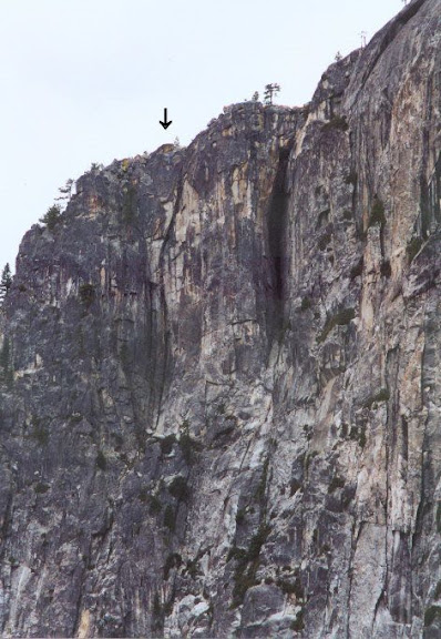
7 [Eagle Tower Overlook]
8 *Indian Canyon Trail
9 {North Dome Gully, climbers access to Washington Column summit}
10 Basket Dome to Snow Creek Trail
11 Rt 120 quarry to Mt Watkins and variations
12 Olmstead Pt to Pywiack Falls base pool via airplane gully
13 Tenaya Canyon traverse
14 Quarter Domes from Half Dome Trail
15 {Half Dome Death Slabs climbers access trail}
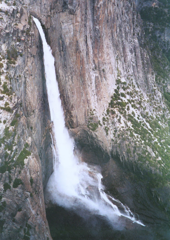
16 {Traverse along base of Half Dome Face to the Diving Board}
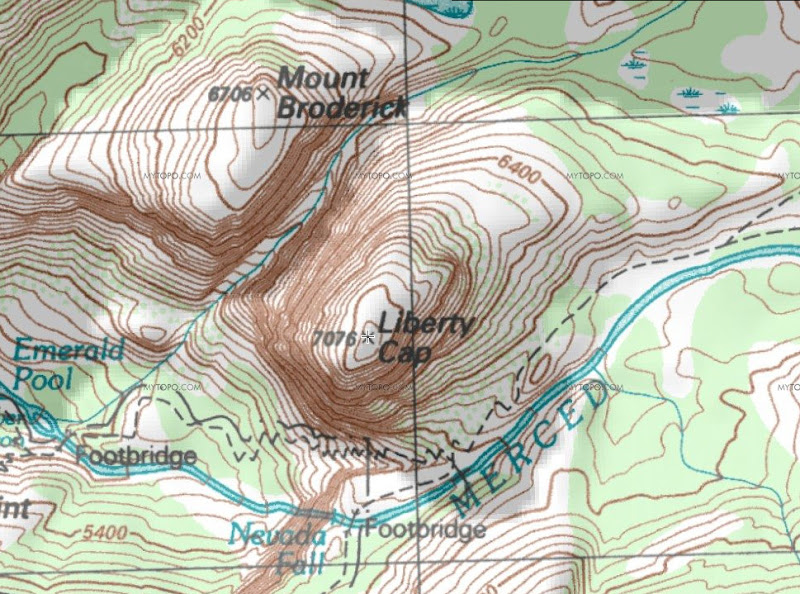
17 *Sierra Point Trail
18 *Anderson Spur Trail off the Mist Trail
19 Diving Board from Emerald Pool
20 Liberty Cap west side bypass gully
21 Liberty Cap summit
22 *[Ledge Trail, i.e. 1.5 mile trail, from Curry Village to Glacier Point]
23 Union Point to Sentinel Saddle via Glacier Point water works
24 Taft Chute
25 Tree Chute
26 Phantom Valley
27 Upper Cathedral Rock via climbers descent route, or lip of Bridalveil Falls via same
28 ridge-top walk from Glacier Point Road to Dewey Point along ski trail
29 *Old Inspiration Point
30 Turtle Dome to Pohono Trail
31 *(Hennessy Trail from Wawona Road to El Portal)
32 *(Sunset Trail, from Wawona Road to missing bridge near El Portal)
There should be a map photo inserted here:
http://docs.google.com/leaf?id=0B9ZDeFswongBZWNjMThmMGEtZjZmNi00YmUwLTkyYzktMWFhZjdlZWI2Mjhh&hl=en
This link should take you to a higher resolution version of the map:
http://docs.google.com/leaf?id=0B9ZDeFswongBMzZhY2Y5Y2MtNTUyNi00NDM3LTg3ZTctOGNiNDc0ZWY1ZjEy&hl=en
I will post directions and commentary on some of these in following posts. Some are very easy. Some require route finding skills. Some require talus scrambling or bushwhacking skills. Don't bother to ask about the ones in square brackets [.], though there is a recent thread on this forum that adequately covers why the Ledge Trail is a bad idea these days.
Edited 2 time(s). Last edit at 11/09/2012 05:50PM by wherever.