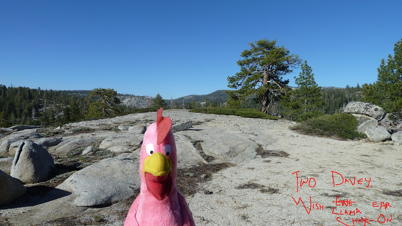
Had opportunity to do this... so do it. More photos and route here:
https://picasaweb.google.com/yosemite.chick.on/DLDome7307
Just some great stuff to be found.. as usual.
Not showing everything. Go and explore... but abuse at your own risk...


The Moon is Waning Gibbous (97% of Full)
June 26, 2011 11:03PM | Registered: 14 years ago Posts: 7,421 |
June 27, 2011 06:57AM | Registered: 13 years ago Posts: 1,351 |
June 27, 2011 07:05AM | Registered: 14 years ago Posts: 7,421 |
June 27, 2011 07:06AM | Registered: 14 years ago Posts: 1,634 |
June 27, 2011 07:09AM | Registered: 14 years ago Posts: 7,421 |
Quote
Dave
I am going to make it there this summer. Did you start from Smokey Jacks?
There's a nice hidden little spot in the little valley between this dome and the road.

June 27, 2011 07:12AM | Registered: 14 years ago Posts: 1,634 |
June 27, 2011 07:28AM | Registered: 14 years ago Posts: 7,421 |
Quote
Dave
I just looked and that's the route I was planning on. Was it as easy as it looks?Quote
chick-on
Yes. Started at Smoky. Nice parking spot there. Take a looky at the map.
June 27, 2011 01:33PM | Registered: 14 years ago Posts: 1,634 |
June 28, 2011 07:30AM | Registered: 14 years ago Posts: 7,421 |
June 28, 2011 12:20PM | Registered: 15 years ago Posts: 4,173 |
|
Re: Davey Llama Dome 7307 June 28, 2011 02:31PM | Registered: 14 years ago Posts: 755 |
June 28, 2011 03:43PM | Registered: 14 years ago Posts: 7,421 |

