Welcome! Log In Create A New Profile Recent Posts
Yosemite Falls

The Moon is Waxing Gibbous (78% of Full)

nordvpn


Advanced

Re: El Capitain and More, Oh My, Oh My Gosh!

All posts are those of the individual authors and the owner of this site does not endorse them. Content should be considered opinion and not fact until verified independently.

El Capitain and More, Oh My, Oh My Gosh!
April 24, 2012 07:46PM
On Saturday I got a call from some hiking friends asking what I was doing this weekend. I had been thinking about a day hike to Smith Peak or El Capitain. It ends up they were already heading up to Yosemite to do El Cap, so we made plans to meet at the Big Oak Flat entrance station Sunday morning. (My wife had to sit this one out due to illness... )

Around 8:00, at the Big Oak Flat entrance station, we heard a loud boom and ruble... Rock fall? But we were far from both Yosemite and Hetch Hetchy, and it didn't last that long. We expected to find a dust cloud or worse in the valley, but it was clear... only later would we learn that the sound had been from a meteorite.

Since we had two cars, we decided to head up to El Capitain via the Old Big Oak Flat Road (OBOFR), then return to the valley via the Eagle Peak/Yosemite Falls trail. Not knowing what the conditions were, we had snowshoes, which ended up being a good call, especially for the wooded, north-facing parts of the trail.

The hike up the OBOFR was straightforward, especially past Rainbow View, where we left behind the encroaching boulders of the Rockslides area. Despite it still being April, the air was warm, and the cool water of Fireplace Creek was very refreshing. Near the former site of the Gentry's checking station, we passed what I suspect is the overlook once called "Oh, My" point--the first place where Yosemite-bound travellers on the OBOFR would have gotten a view of the Merced River's canyon.


Just past Gentry's we hit the junction with the El Cap trail itself. Once off the road, the grade increased quite a bit, and by 7000', we were ready for lunch, enjoying the decent views and warm weather. (Note for the future: I think that staying on the OBOFR until near Cascade Creek, then following the old logging (?) road to the east until it meets up with the El Cap trail may be a better route... Per Schaffer, it certainly is if approaching from the OBOFRT/Foresta direction.)

The chick-on trap was not successful...


A few hundred feet higher, we started to hit extensive snow, which would continue until the open areas east of the Ribbon Creek crossing. Fortunately, the trail was fairly well marked with red markers nailed to trees, although a few of them were barely above the snow in a dry year. We are thankful to whatever party had passed through recently--their footprints helped a lot when we couldn't see the next marker.


The snowbridge across Ribbon Meadow's creek was almost strong enough for three to cross it successfully--it gave way just as I cleared it. Ribbon Creek could fortunately be crossed on a more substaintial log.


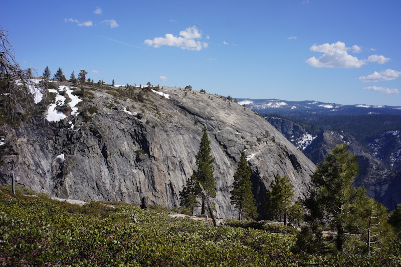
One of the most interesting views of the entire hike was the apporach towards El Cap from the west--it was quite impressive seeing the top of this monoloth so close. Later, looking back, the area near the brink of Ribbon Falls also looks worthy of future exploration.


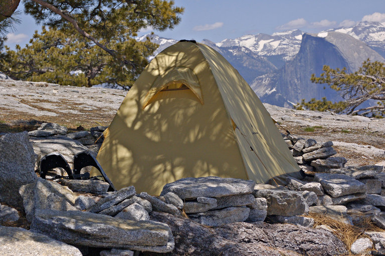
The top of El Cap reminded me a bit of the broad open area at the "top" of the Snow Creek switchbacks--excellent views and large expanses of flat, sandy ground--ideal for camping. A lot of the valley was out of sight, but Mt. Hoffman, Clouds Rest, Half Dome, and the Clark Range were in plain sight. (The second Pseudogallus roseus trap also failed.)


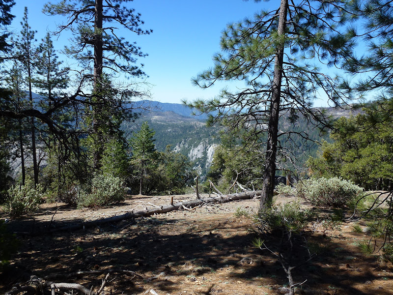
Unfortunately, our second "lunch" on El Cap was around 4:00, and we still had 8 miles or so to go, so we couldn't linger on the summit... next time, probably an overnighter. Oddly, the afternoon breeze was very warm and not at all uncomfortable. The trail from El Cap was mostly snow-free until the saddle near Eagle Peak. It is also as poorly graded as Schaffer indicates. After the Eagle Peak saddle, coverage was near 100% until we were near Yosemite Creek. Much of the Eagle Creek Meadows area was a mix of soft snow and water, reducing the usefullness of snow shoes. There were a few log crossings of seasonal creeks--nothing dangerous, but it was getting late, and we were getting tired...

The sun sat as we descended the Yosemite Falls switchbacks, and it was almost completely dark by the time we passed the "Oh My Gosh" viewpoint overlook, just past the middle gate. From here until the bottom, on a moonless night, it was headlamps all the way to Camp 4.


We were at the car near 9:00pm--12 hours for 18 or so miles, not a great pace, but nonetheless a great hike!

More Pictures
Re: El Capitain and More, Oh My, Oh My Gosh!
April 24, 2012 07:55PM
Awesome trip report! Thx 4 sharing.
avatar Re: El Capitain and More, Oh My, Oh My Gosh!
April 24, 2012 09:32PM
Nice trip and photos.

Ideal for camping - I concur.

Re: El Capitain and More, Oh My, Oh My Gosh!
April 25, 2012 11:32AM
Great report! Thanks. I've only done that trip in the opposite direction, and that was in the summer. It makes for a very long day.

Hey, the ski season is almost over. Now it's time to think about hiking again....
avatar Re: El Capitain and More, Oh My, Oh My Gosh!
April 25, 2012 01:43PM
Quote
wherever
Now it's time to think about hiking again....

Feel free to find my camera... (I can send you the shrubbery Basket Dome Gully track... ) smiling smiley


Chick-on is looking at you!
avatar Re: El Capitain and More, Oh My, Oh My Gosh!
April 25, 2012 02:39PM
By the way, what color was your Panasonic super-zoom? The standard Panasonic black, or one of the metallic colors?

.
Re: El Capitain and More, Oh My, Oh My Gosh!
April 30, 2012 08:33AM
Thanks for the great pictures and description. I am planning on doing this hike in a few weeks.

Can you help me understand where you started?

I have Yosemite Trails Map #206 and I see a couple of references to "Old Big Oak Flat Road". One is up by Tamarack Flat but I don't think that is where you started. It appears that Tamarack Flat campground is closed until late June but it's not clear to me if you can still park at Tamarack Flat even though the campground area is closed.

Thanks,

-Matt
Re: El Capitain and More, Oh My, Oh My Gosh!
April 30, 2012 10:57AM
Quote
thepoloman33
Thanks for the great pictures and description. I am planning on doing this hike in a few weeks.

Can you help me understand where you started?

I have Yosemite Trails Map #206 and I see a couple of references to "Old Big Oak Flat Road". One is up by Tamarack Flat but I don't think that is where you started. It appears that Tamarack Flat campground is closed until late June but it's not clear to me if you can still park at Tamarack Flat even though the campground area is closed.

We started in the valley where the Old Big Oak Flat Road once joined the Northside Drive--just west of where Ribbon Creek crosses the road. This road/trail is still on the USGS 7.5' quad (see here, near BM 3977), but it is no longer officially maintained by the Park Service. There is no sign marking this place, but there's a small dirt lot and a usually-locked gate visible from Northside Drive.

Note that the "Old Big Oak Flat Road Trail" is different--it starts from the "new" Big Oak Flat Road near the Foresta turnoff.

As you noted, the shortest way to El Cap from the west is to start from the Tamarack Creek campground--when the road to it is open, which should be early this year. (Also, the road from the Tioga Road to this campground is part of the Old Big Oak Flat Road...)
Re: El Capitain and More, Oh My, Oh My Gosh!
April 30, 2012 11:35AM
Quote
basilbop
There is no sign marking this place, but there's a small dirt lot and a usually-locked gate visible from Northside Drive.

Actually, if you look for the V9 marker on the north side of the Northside Drive, and walk straight towards the Valley Wall from there, you'll see where the road starts to head up the Valley wall.
Re: El Capitain and More, Oh My, Oh My Gosh!
April 30, 2012 09:45AM
Thanks for sharing the pictures. You allowed me to see places that my knees can't take me. I live vicarously though all of you who can hike like that.
Sorry, only registered users may post in this forum.

Click here to login