
On Saturday we hiked from Mosquito Flat to Mono Pass (south; not to be confused with the other Mono Pass near Tuolumne Meadows). The Little Lakes Basin is very popular, and for good reason: a high-elevation trailhead that puts you instantly in the "good stuff".
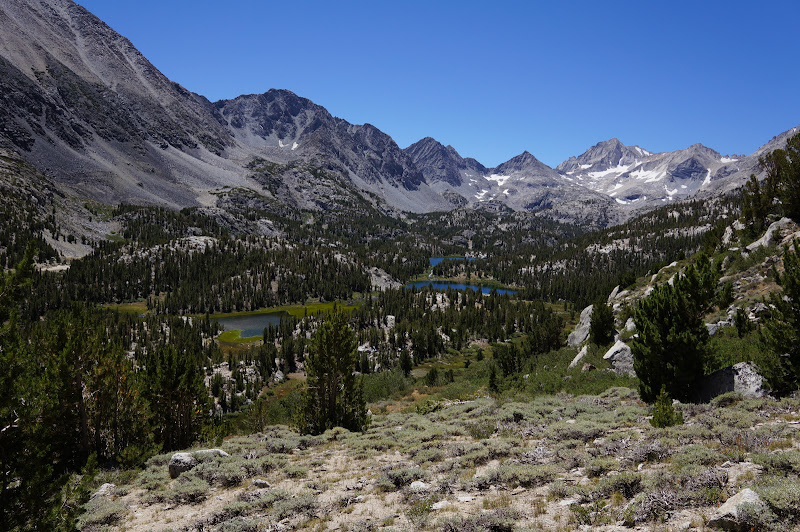
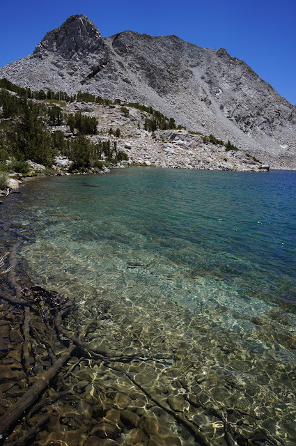
Along the way we took a side-trip to not-aptly-named Ruby Lake for lunch.
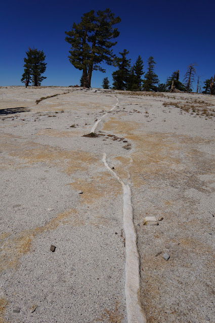
The terrain around Mono Pass is very rocky and sandy, especially north of the pass towards Summit Lake.
That night, we dispersed-camped in the desert east of 395--much nicer and quieter than the $20+ USFS campgrounds, IMHO. (Gear Plug #2: a TurboTent and a pair of REI Comfort Cots makes a very comfortable--and quick to pitch--camping setup...)
The next day, we decided to do a trip we'd read about here: the the easy cross-country trip to Mt. Watkins that wherever posted about. His writeup covers this route well, but I'll add a few things: First, there is parking on the south side of the Tioga Road for several cars. Second, while you can follow the signed trail that climbs above this parking lot and avoids the nearby quarries, it's easier to head past the gate, then take the dirt road that climbs to the right. A well-worn path crosses the quarry area and rejoins the trail shortly. Third, the "cross-country" route from the first trail to the crossing of the second trail is regularly marked by snow-course markers and is a very conspicuous use-trail.
In other words, it's easier to follow than many officially-maintained trails in Yosemite. There's even a distinct use trail south of this crossing that fades only when it approaches the granite of Mt. Watkins--it's really no worse than the trail just north of North Dome.
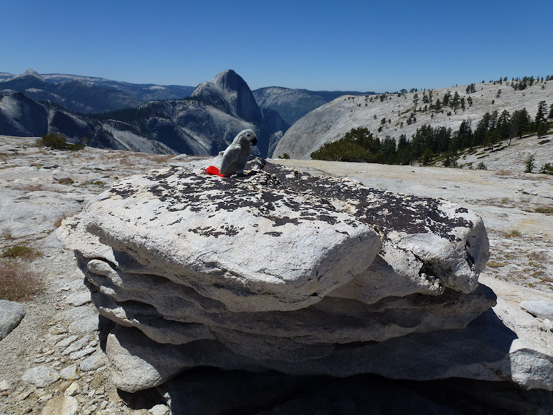
Speaking of granite... if you're into broad, open expanses of granite, Mt. Watkins is for you. The true Mt. Watkins has a very gentle "summit" and offers good views of Clouds Rest, Half Dome, and the higher parts of Yosemite Valley.
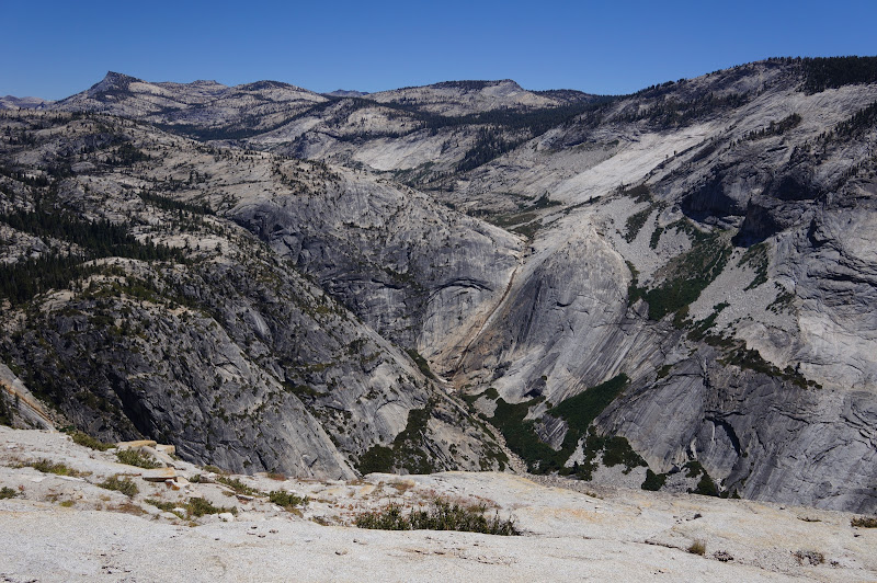
The smaller eastern summit has a more precipitous drop into Tenaya Canyon, where in non-drought years you would have an excellent view of Pywiack Cascade and the area around the Lone Boulder along the Tenaya Canyon descent route.
We saw no one along the "cross-country" portion of this hike, despite there probably being hundreds of people on nearby Clouds Rest, Half Dome, and North Dome.
More Pictures

