One point...the trails on the USGS maps are way out of date, the ones on the USFS' Snow Mountain Wilderness map are different, and correct. The Snow Mountain Hiking Association has downloadable PDFs of maps with updated trail locations, as well as flow information for springs from late August 2008, a relatively dry year. One suspects this year will be worse, not only because its dryer, but also because it's the third in a sequence of dry years. Definitely download their PDFs if you're thinking of going.
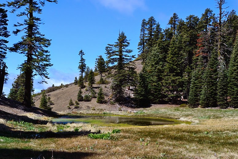
Cedar Pond, along the way...
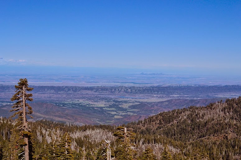
Sacramento Valley, and Sutter Buttes, from Snow Mountain East (the higher of the two):
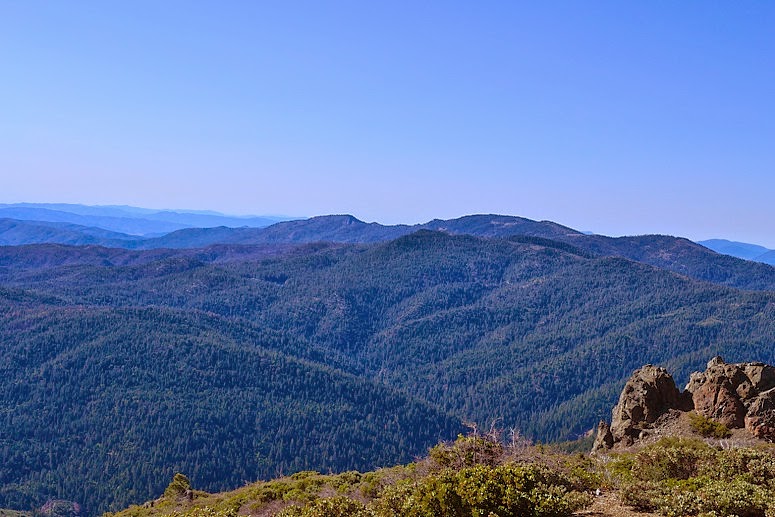
Coast Range View:

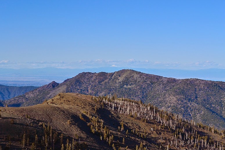
Mt. Lassen (dead center, far background) from Snow Mountain. I could also see Shasta, but it was too far away for a good picture.
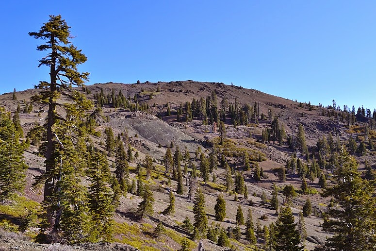
Snow Mountain East
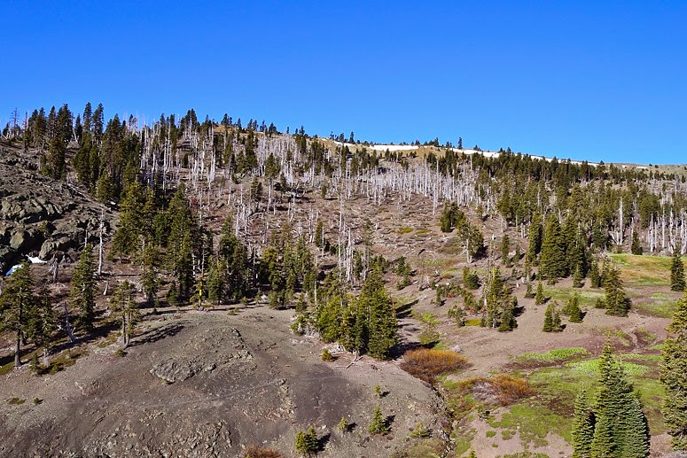
Snow Mountain West
Letts Lake and Valley