

The forecast was for possible rain—as it was for all days we’d be in Ireland. The start of our hike—across an old battlefield—was mostly dry; it was even possible to keep our feet mostly dry in the boggy spots.
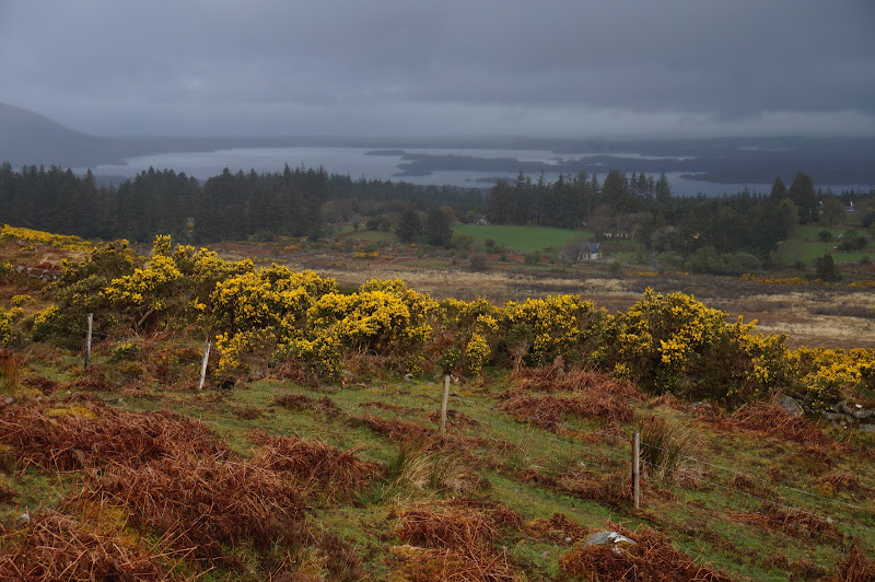
The well-used trail climbed at a decent grade towards the lake and mountain, and offered nice views towards Killarney.
At one point through the fog we could see a sharp rock jutting out into the air, looking not unlike an otherworldly spaceship that had crashed into the side of the mountain, or perhaps some primeval creature reaching out from the ground to grab unsuspecting hikers.

Eventually, as we neared the lake itself, it began to sprinkle on us and we donned our rain gear and satellite-compatible pack covers.

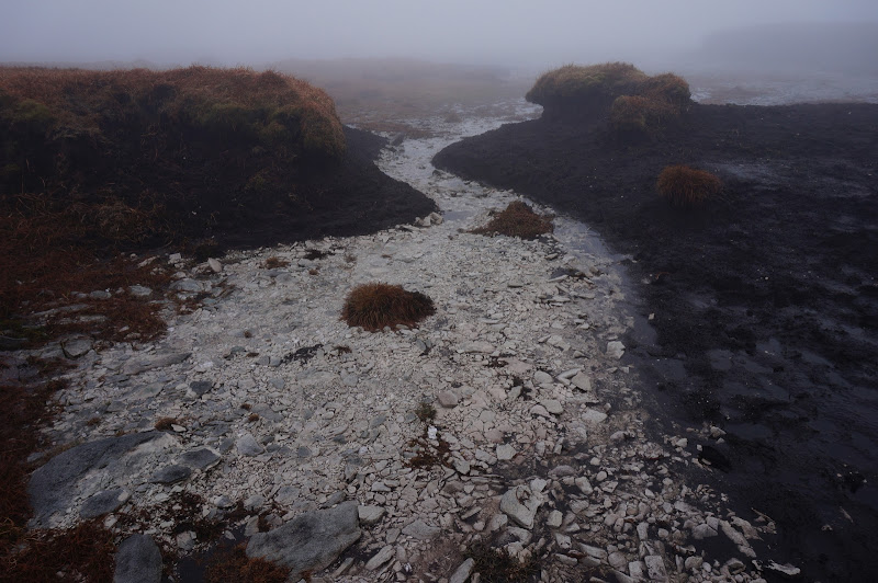
The outlet of the lake in Devils Punchbowl was all we would see of this rock-bound (“corrie”) lake. An old small dam had once spanned the outlet; its purpose wasn’t immediately obvious.
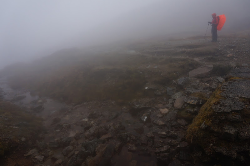
From the lake we hiked farther into the clouds, eventually passing a group of hikers in the thick fog just past some old ruins.

Past that the trail continued to climb; one spot hinted at views into another basin.

Not long after the only really steep portion of the trail, which involved some straightforward steps over rocks, the trail leveled out. We were more or less on the broad, flat summit of Mangerton Mountain, which was covered with a thick blanket bog.
We navigated to the true summit via GPS since there was no apparent prominence or peak. Once we were within 50 yards or so of the summit, however, we saw a cement post with a tall metal pole next to it.

The summit was surrounded by rocks which spelled out the compass cardinal directions—perhaps it was an old aerial navigation station, or maybe the clouds are common enough that people can get turned around on the mountain.

This would have been useful at West Fork or Bridalveil Creek...
Not too long after we reached this summit another group of hikers—or perhaps the same group?—emerged from the fog, and we soon left to return to the trail. In fact, my initial effort at “dead reckoning” navigation back to the trail resulted in a rather circuitous route—I was walking in a direction about 90 degrees from where I was actually going. Oddly, the compass directions around the summit had seemed “wrong” to me as well.
Once back on the trail we looped around the unseen lake and punchbowl, soon dropping gently down the other side of the cirque.
At one point I heard a stream, then was surprised a few moments later to see the outlet of the lake again—the loop around the bowl had been much shorter than I’d expected.

From the outlet our route back to the trailhead was straightforward. The views were about the same on the way down.

We encountered many more hikers on our return trip, and when we got to the trailhead every possible place a car could be parked was occupied. Apparently the road walk that the guidebook suggests is not a popular option.
We had completed a hike we had wanted to do a few years ago, but we had not really seen the Punchbowl or its lake. We would not return to Mangerton during this trip—perhaps a future trip will provide both the opportunity and the conditions for this.
More Pictures

