Sunnyside Bench makes a nice hike for a chilly morning since it receives sun early in the day. The bench is about 200' above the valley floor and runs roughly from Indian Canyon to the top of Lower Yosemite Falls, along the lowest obvious tree-lined bench just above the valley floor.
Heading up, I chose to go up through the trees to the right of the talus slope. There are a few faint paths through here, but all were covered with loose rocks, leaves, and other debris. Eventually, the paths converged, and towards the left was an open gully with a maybe 30' cliff at its head. At the base of this cliff was a worn sandy area--probably where the paths leading up the left side of the talus slope converge. I went around the cliff to the right, where I found a well-trod path heading from right to left. Given that any further upward progress would be soon blocked by cliffs, and that I was approximately 200' off the valley floor, I guessed that this was the Sunnyside Bench "trail" and followed it to the left; e.g. towards the falls. The path dropped a bit, crossed the gully above the cliff, then switched steeply up maybe 20' across open granite and grass before entering forest.

Above 30' cliff/below short, open switchback, looking west
(I never did encounter the exposed ledge at the top of the talus scar that wherever's account mentions. I suspect that it is either across the top of the cliff mentioned above--but below the route I took--or just past the open switchback area, where on my return trip I noticed a trail that went around a rock--close to the edge of the bench--instead of up and over a small hill. In any event, it appears possible to bypass this exposed section...)
The path from here was usually obvious, with ducks, footprints, and a decent "boot packed" path. After a few minutes following this path I encountered the first spot with significant exposure risk, where the path drops rather steeply just above the lip of the bench to a small open granite shelf sprinkled with loose rocks, perched on the edge of the bench. I tried to stay away from the brink by following one of several paths leading up and away from the edge, but eventually had to drop back to the granite shelf when they petered out. The return trip later confirmed that the best route is to drop--carefully--to this shelf.

Small granite shelf at bottom of exposed area
From there, the path continued through trees, working around minor hills and gullies. In one section were several vine-like branches that hung over the path and grew around the trunks of larger trees.

Vines
The bench path receives enough use that others have provided some maintenance in the form of cut branches. Eventually I reached a spot where a significant route headed up a gully against the cliff, and remembering wherever's GPS track, I followed it up for maybe another 100' until this path faded. I knew I was well above the bench and slid down some steep, loose terrain to regain the bench itself. (On the return, I noted that the dominant path stays lower through here, in one section climbing no more than 30-40' to meet the gully above. I suspect that people continue up the gully because the place where the path leaves it is not obvious, being obscured by a small log. Or, it's a climbing access route to the Lost Arrow Spire/Fern Ledge area.)
From here, the path was on the bench itself, and the trees gave way to a wide, grassy bench, right up to the point where the path ends abruptly at a cliff overlooking the brink of the lower falls.

Near end of Sunnyside Bench, looking back.
Fortunately, I had wherever's guidance to head up a bit from here and follow the path along the base of the cliff to even better viewing areas. I found I needed to do a short (6') down climb to get to the Lower Falls viewing area, but there were sturdy limbs, roots, and footholds. There is probably a better way to this area.

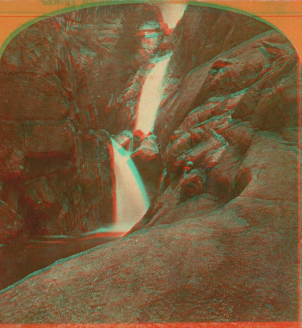
Brink of Lower Yosemite Falls
Photosynth

Middle Yosemite Falls

Upper Yosemite Falls from "viewing area"
There are several nice flat areas to rest and enjoy the views in this section. It was odd that the voices of the people at the Lower Falls viewing area were so clearly heard from here--but I guess they were only 300' or so away, and the rocks around the lower falls possibly reflected their sounds towards the bench. Even so, this would be a very nice place to bring a picnic lunch and hang out for awhile--in fall when it's warm and dry, or possibly in spring or early summer when it's misty and cool.
The return trip was uneventful, and I avoided the two places I had climbed too high. Once past the switchback/cliff at the start of the route, I decided to follow the well-worn path to the east, hoping it might connect to the Indian Canyon "trail". However, this path eventually started heading uphill (it's probably a climbing access route), so I left it and traversed slightly downhill to intersect the Indian Canyon trail. I met this trail in an open, grassy area--the first such area encountered heading up the trail (ignoring the small open area just above the Valley Loop trail). For those wanting to use the switchbacks of the Indian Canyon trail (which are still in good shape in this lower section) to gain the elevation of the bench, this clearing is an obvious landmark for where to leave the trail before traversing slightly uphill towards the top of the talus scar gully and bench.

Clearing on Indian Canyon "trail"
One thing that struck me on the way back--it wouldn't take much to develop Sunnyside Bench into an official tourist trail. The Indian Canyon trail could be used as-is to gain the needed elevation, and only a few sections would have to be built up for safety or to control erosion. An official trail might reduce the number of spurs that climb up to avoid exposure, but would certainly result in a lot more impact at the grassy viewing area at the end. Railings and numerous to-be-ignored warning signs would probably be mandatory, and the inevitable accidental (or otherwise) litter would accumulate. And some idiot would probably dislodge or throw something onto the people below. Perhaps it's good enough as-is.
Compared to other valley scrambles: easier but more exposed than Sierra Point (although I suspect Sierra Point will become more and more dangerous as the old trail wears away), much easier and less exposed than the Indian Canyon "trail", but harder and more exposed than Hidden Falls or the Old Big Oak Flat Road. The only significant climbing is getting up to the ledge. The Sunnyside Bench path itself is covered with sand and leaves, and many rocks are loose. In the exposed areas, there are usually trees or stout shrubbery whose branches can serve as belay, but this isn't a route for those not used to off-trail travel across loose, rough, dangerous terrain. Go at your own risk and be careful. If in doubt of your capabilities, don't go. If you have small children, consider (and know how to use) a harness and rope setup in case they slip. Oh, and remember that climbers may be on the cliff below this trail, so be careful not to dislodge any rocks, and if you do, please shout "Rock!" loudly.
More Pictures