
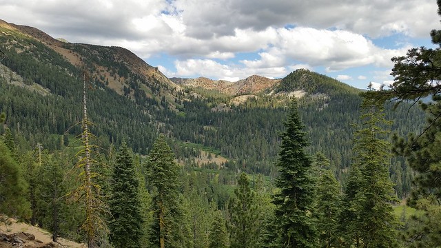
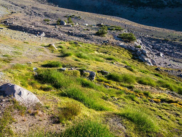
Leaving the trailhead at about 4:30, I headed out south on the PCT. It is a 6 mile hike to the top of Mt Eddy, where I planned to spend a couple of nights enjoying the view, taking a few pictures, and finishing a book I had brought along. The trail is actually pretty flat for most of the way into the Deadfall Lakes, which are surprisingly much prettier than their name suggests. The Deadfall Lake Basin:
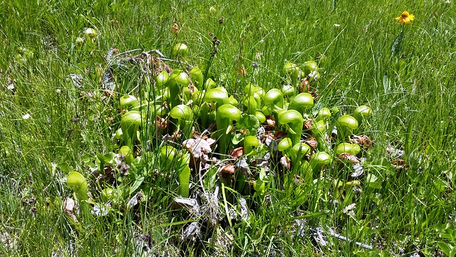
While poking around near the biggest of the lakes, I came across a steep boggy seep with some coneflowers that I had to check out, and stumbled across some California Pitcher plant, a carnivorous species. Fortunately I was able to escape with my life.
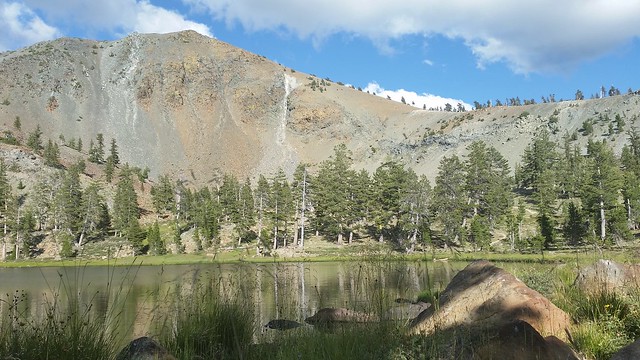
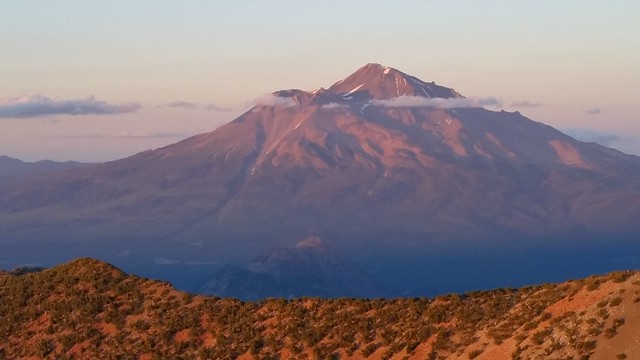
Here is Mt Eddy with one of the Upper Deadfall Lakes in the foreground:
Arriving at the top of Mt Eddy, I set up camp
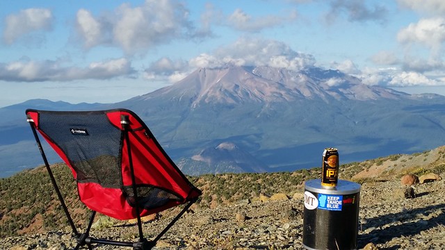
and enjoyed a wonderful sunset view of Shasta
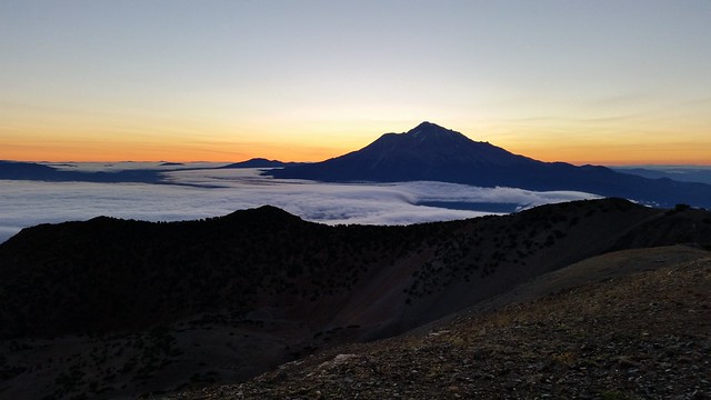
And awoke the next morning to an even better pre-sunrise view...with the post-storm wind from the north having blown in some clouds lower down:
Thursday was a sunny day, but the wind was relentless at the top of Eddy so I decided to retreat to a lower elevation, heading to my car to explore some backroads the rest of that day, as well as the next.
Saturday I was up at 4 and at Shasta's Clear Creek trailhead with pack on at 5:30. In reading about climbing Shasta for years, I had always assumed that I would do the trip around Memorial Day, taking the usual route up from Bunny Flat on snow, with crampons and ice ax. More recently, when thinking about this trip, I had thought that I might join a group and head up via Glacier on the north side. But reading on the Forest Service website about the Clear Creek access, I became convinced that it was the best choice for me at this time of year, providing a route that I could do solo and be flexible with timing, as I wanted to have a perfect weather day.
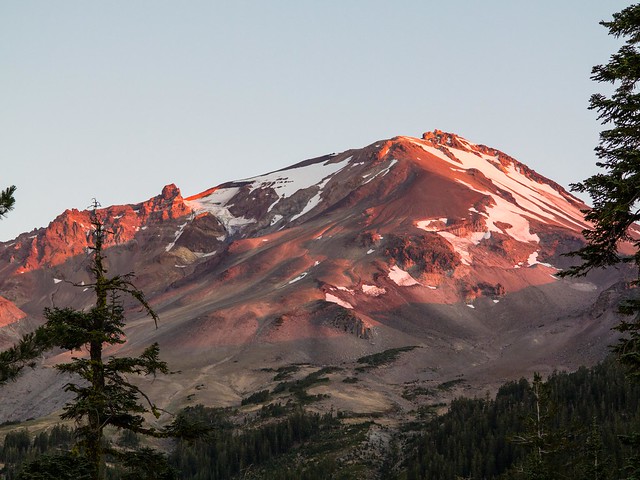
The mountain with the first rays of the sun on it
Lots of folks were camped at the springs a couple of miles in. The tents are visible:
There is nice, cold, clear water flowing straight out of the mountain here.
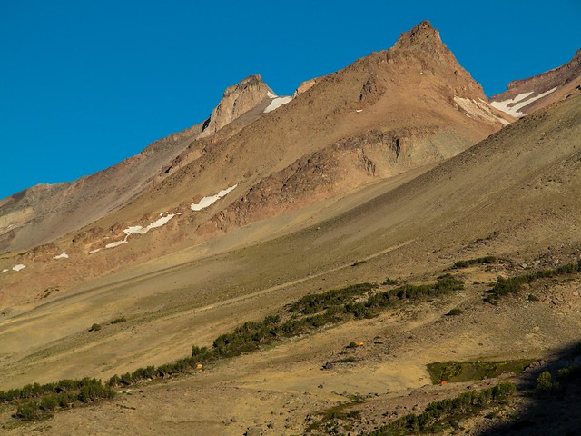
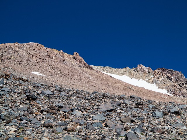
And while there was plenty of scree to contend with, I found the trail/use trail to be not nearly as slippery going up as I had been worried about. There are definite "up" use trails and definite "down" use trails...the downs are sandy slides, while the ups, if you can find them, provide pretty decent footing as they switchback their way up. A typical view up:
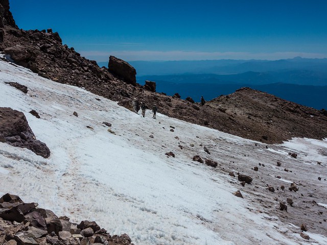
This little section of snow just before the summit block was, sadly, the only snow I had to cross
I ate lunch and enjoyed the view from the summit before heading down. It was a perfect day. I recall reading somewhere that the "trail" was 4 miles (straight up) from the trailhead. My GPS gave me a total trip length of 13 miles (round trip) with about 7600 feet of elevation gain.
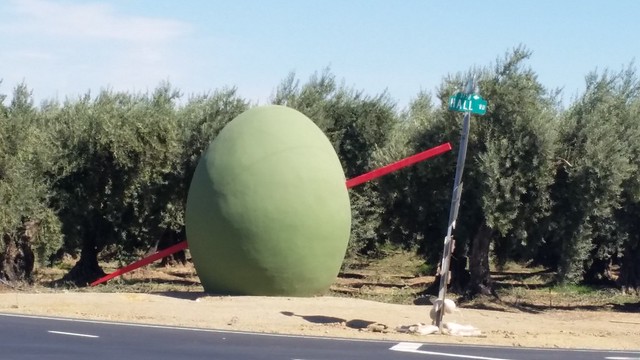
And now, well I happen to be in Corning for a couple of days. Lots of big olives around here, including this one:
All of the trip pictures are here.


