The trip started at the trailhead near Walker Lake
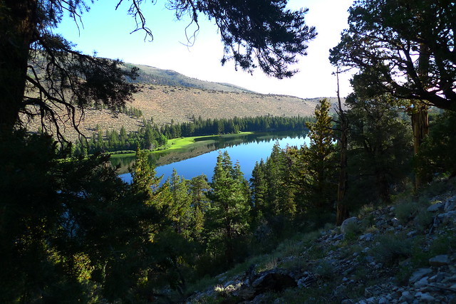
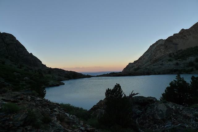
I had read that the trail was steep and in bad shape, but at least this year it seemed better than the Whitney Trail . By 1 pm I was up at Lower Sardine lake and it was looking like rain,
so I decided to camp at the far side of the lake.

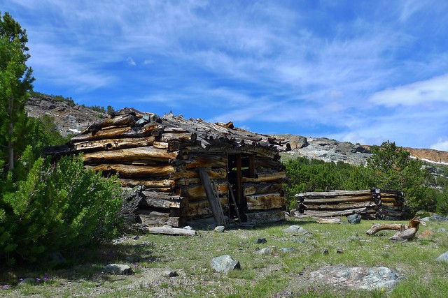
The next day it was over Mono and Parker Passes, with a side trip to the old mining cabins near Mono Pass.
I had just made it over Parker Passes when he thunderstorm hit. This was a reoccurring theme. It rained ever afternoon except one for the first seven days.
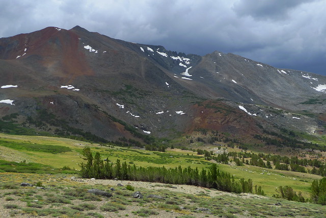
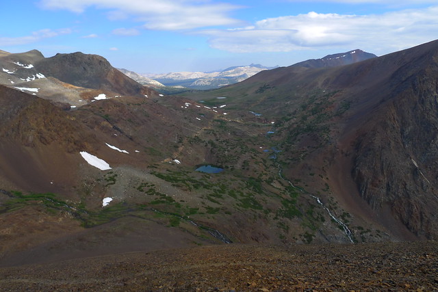
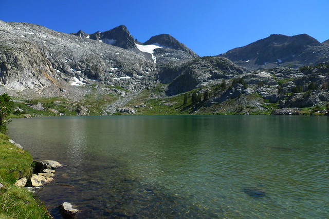
This is just west of Parker Pass.
The next morning it was time to go over Koip Peak Pass. I could see the switchbacks from where I was camped. More worrisome was the clouds first thing in the morning. I really wanted to get over the 12,200 ft. pass
before the lightening, and by 10:30 that AM I was there.
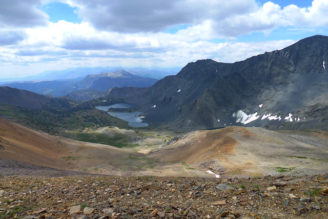
My destination for the day was the Alger Lakes
I got to the Alger Lakes just as it was starting to really rain- Wednesday July 16. It rained thunder and lightening for almost four hours.
The next morning dawned beautiful. I spent a little extra time walking around, since I had not done so the evening before.
My next destination was over Gem Pass
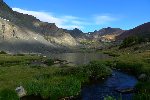
Gem Lake was not very interesting, so I camped along Crest Creek since it was about to rain.
Day 5 I headed past Waugh Lake and up to the JMT. Suddenly there were a whole lot more people than I had become accustomed to,
so I headed up to Davis Lake just off the trail.
It did not rain at Davis Lake!
Next day- Day 6 it was up and over Donahue Pass. Beautiful area, but just as I got over the pass the storm clouds began to gather and I started looking for a sheltered campsite.

Which I found just before the thunderstorm hit.
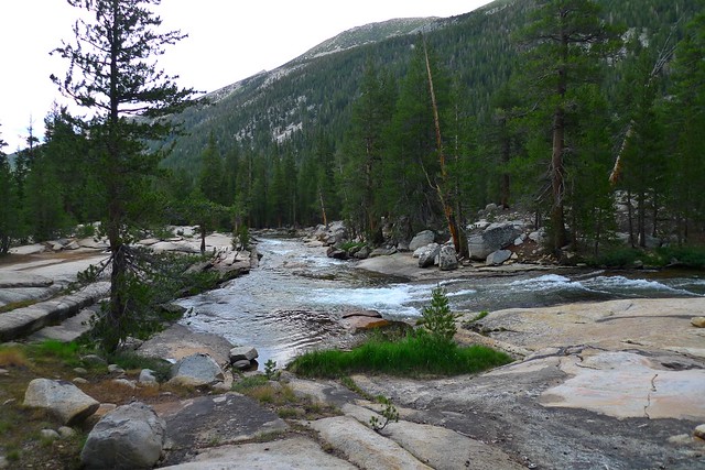
The next day-7- it was down the Lyell Fork

The day started with a beautiful blue sky, and then started clouding up rapidly. I spent some time as I went down telling people that they probably had until around 2PM until it rained.
That was incorrect. At 10:30 that morning it started to hail! It rained and hailed for about an hour, but at least I was going downhill. Meanwhile it seemed like I was swimming against the John Muir tide, with all conditions of
people headed to the pass. I stopped giving advice, and camped near Ireland Creek that evening.
Day 8 I hiked out to the Tuolumne Meadow Backpacker Camp.
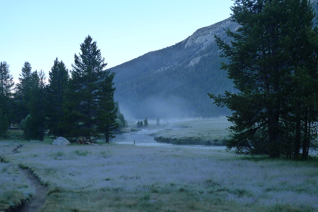
It was the only day I saw frost. Made the backpacker camp early , dumped some trash, picked up a permit to go back in the next day at the Mono Pass Trailhead, got cleaned up, and attended the ranger campfire program.
The next day I caught the free shuttle up to the Mono Pass Trailhead. This is a much easier way to get to Mono Pass than Bloody Canyon. Of course my truck is still at the Walker Lake Trailhead, and the easiest way to get it is to walk there.
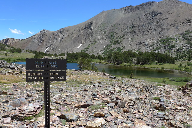
I made Mono Pass early in the day, and by mid-afternoon I was back in the campsite at lower Sardine Lake.
Day 10 I hiked out, found a shower on the June lakes loop, and a campsite to sleep in the back of the truck along highway 120.
Thank you to anyone who waded though this trip report.
Even more photos can be found here.
https://www.flickr.com/photos/lschaaf55/sets/72157645584465738
Edited 3 time(s). Last edit at 07/28/2014 08:05PM by lschaaf.


