Unfortunately, we had not packed our micro-spikes or snowshoes, so it was with some trepidation that we set out on the Ostrander Lake trail. At least we had GPS.

The hike to Ostrander was mostly uneventful, although my Egg McBreakfast ran out about a mile short of the lake, so I had to snarf a few sweety-salty bars at our first good views of the Clark Range.

We did eventually have lunch at the west end of the lake, as we contemplated the route to the top of Horse Ridge.

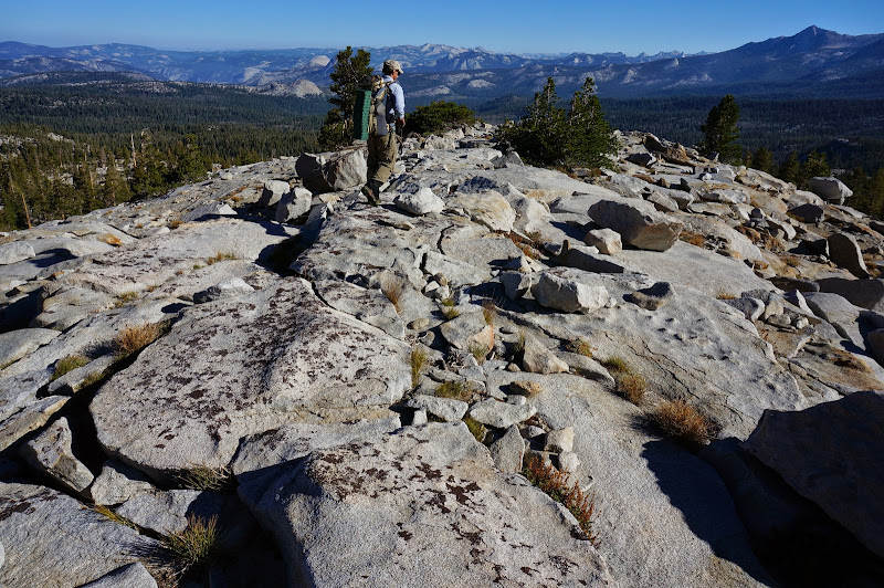
Progress up the jumble of large boulders was slow but steady, with ever-improving views of the lake and surrounding country.
From certain angles the route looked vertical and impossible, but as is often the case, a system of relatively safe ledges provided a way up.

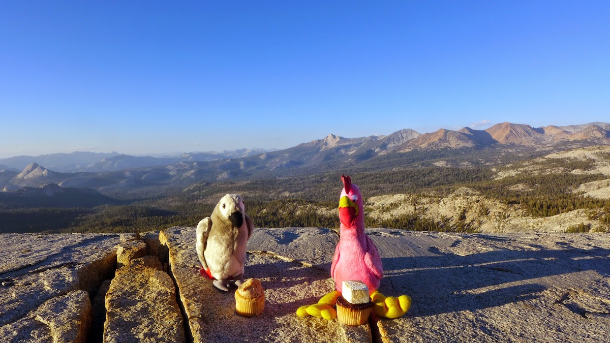
The climb was of course worth it, and once on top the stroll along Horse Ridge was simple--its south side smooth and gentle, in sharp contrast to the rocky north side.
I think we spent more time taking pictures than actual walking as we headed towards the Buena Vista trail.

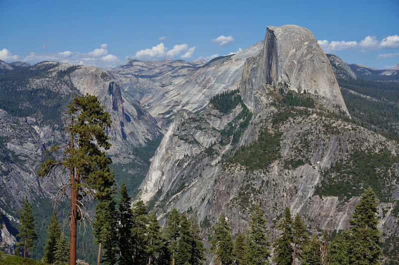
We eventually left Ostrander behind and were looking down on Hart and Edson Lakes--and a fair bit of Yosemite in the distance.

As we neared the trail we saw ski markers for the "Merced Crest" trail.


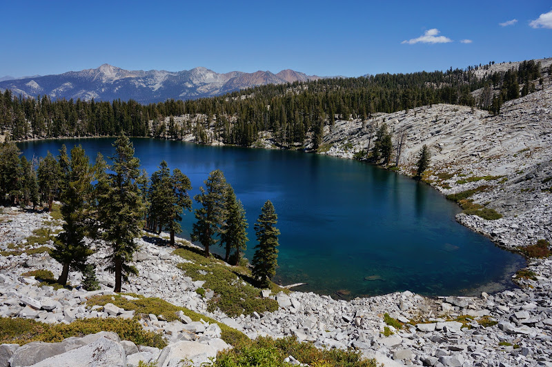
Finally, we reached Buena Vista Lake, and although there was a straightforward way to circle the lake on foot, that wouldn't do.

How many Instaflator's of air does it take to fill a Supai Flatwater? Five-ish. The water at Buena Vista was warm and mostly calm, and we were in no hurry to get to the other side.

Eventually, we ended up at the other shore, and after a quick dip to wash off and cool down, we filled up on water and headed up to the pass, then to Buena Vista Ridge.

We considered checking out a plane crash on Mt. Bruce, but as the quality of campsites dropped the farther east we traveled, we eventually decided to head back to nicer spots to the west that we had passed.
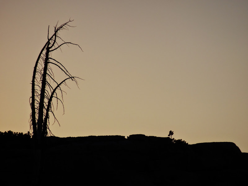
On a flat granite shelf overlooking most of the Illilouette Basin we set up camp and enjoyed dinner.

Like so many this year, the evening and night were mild.

The next morning we decided to head down the Illilouette via an unknown ridge--but first, we checked out the Mt. Bruce area.

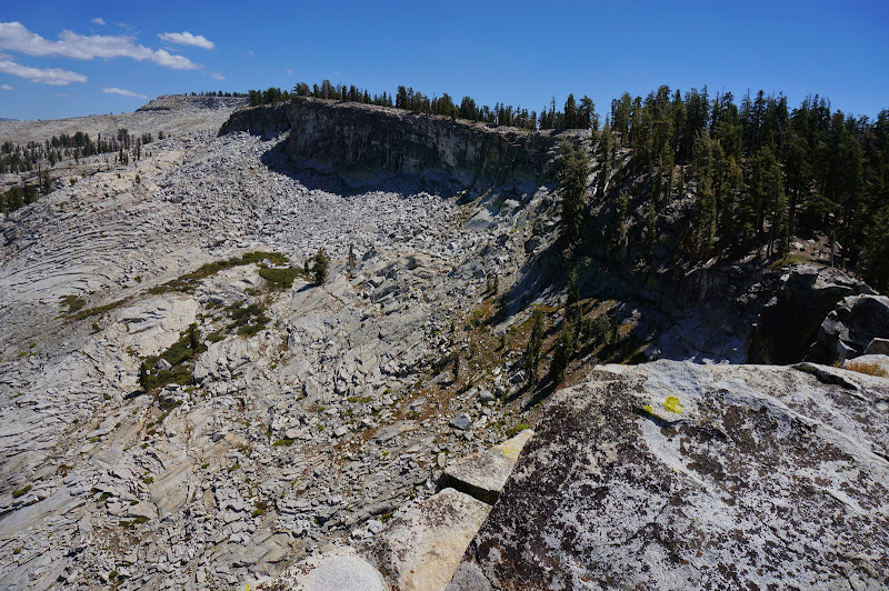
From above, our ridge looked mostly open-ish, with a big question mark where it dropped into the burnt-out area near Illilouette Creek itself.

Getting to the ridge required some boulder-field navigation..

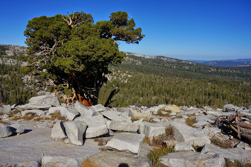
...but the ridge itself was relatively easy sailing...
...and the various trees that dotted the ridge enhanced the experience.

Unfortunately, in places the trees are turning up things perhaps best left alone.

We eventually reached creek level, with burnt-out forests dense with new, young trees converging on our ridge from either side.

On some trips we might have been facing a mile or more of "delicious" bushwhacking, but not that day... we were generally able to avoid any nasty shrubbery.

We crossed the all-but-dry rocky bed of Buena Vista Creek, which seemed oddly out of proportion--more suitable for a great river like the Tuolumne or the Hoh, not a seasonal creek. Unfortunately, on the far side of this creek we encountered the only serious buck brush so far--unavoidable since the trail was carved in the middle of this briar patch. Once on the trail we flew towards the north; our eventual goal was Glacier Point.

The day was warm and due to past fires there was little relief from shade.
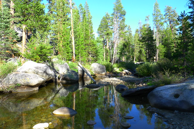
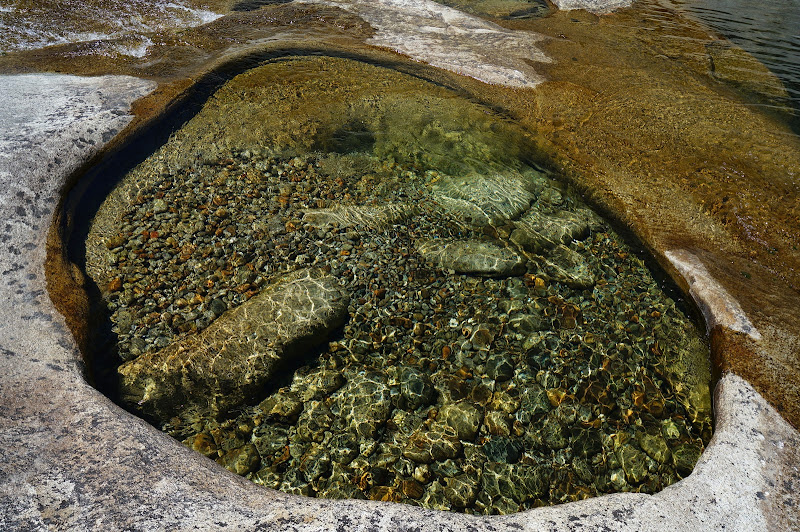
During a much-needed rest stop, I must have fallen asleep... Missing the annual Cherry Creek trip due to the Rim Fire closures, I dreamed of granite-rimmed bowls of clear, cool water.

Perhaps it was only the rustle of leaves, but I heard a creek cascading from pool to pool across smooth granite.

We had not been near anything other than stagnant ponds since the regatta at Buena Vista; the water I was seeing had to be a mirage.
As always, we could have rested longer, but we still had a few miles to go, so we were pounding the trail again.

These final few miles were uneventful. We met the first people we had seen since the lake at the Illilouette Falls junction; from there to Glacier Point there was a steady stream of hikers.
At Glacier Point we enjoyed a cold beverage and ice cream at the amphitheater.
More Pictures


 I'm glad I got to walk that section of Illilouette, it was awesome. I clearly need to go to Horse Ridge now.