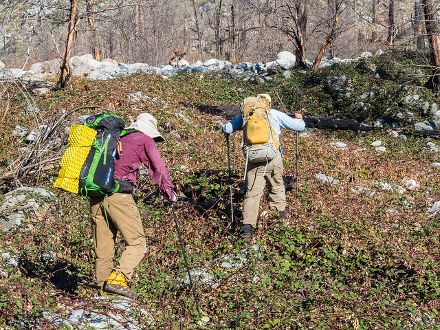
JKW and OD did end up having a nice stroll to the lake; however, our starting point was far from the lake, along a spur road on the north side of North Mountain. Our journey was to be a more circuitous route to Lake Eleanor--daleing around North Mountain, bopping by several boundary markers, and approaching Lake Eleanor via the least-easy route.
Surprisingly, there was a not-very-faint trail heading up from our spur road to the ridge that divides Cherry Creek from the Tuolumne River.
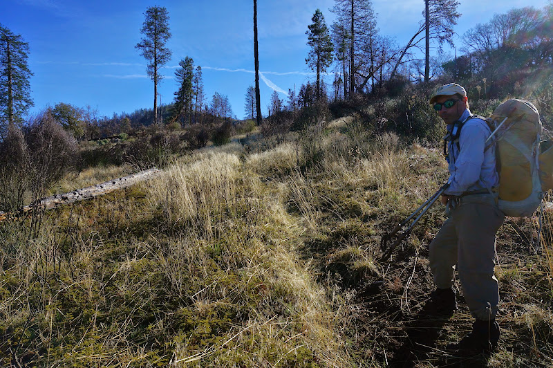
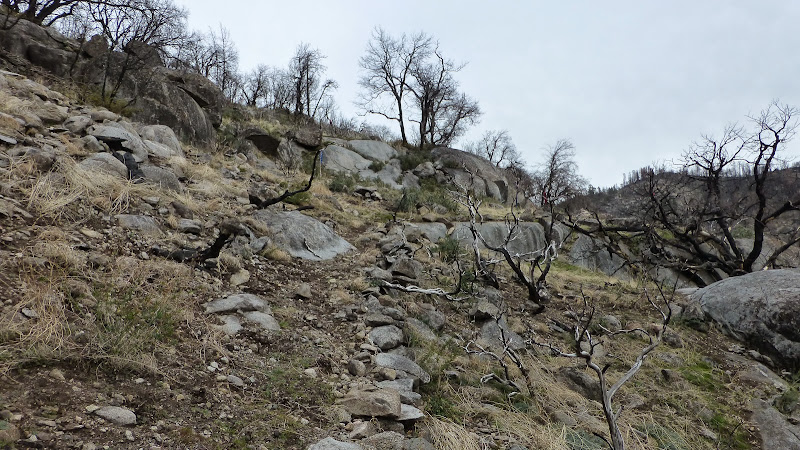
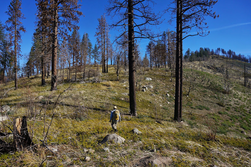
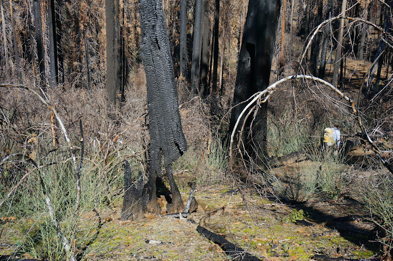
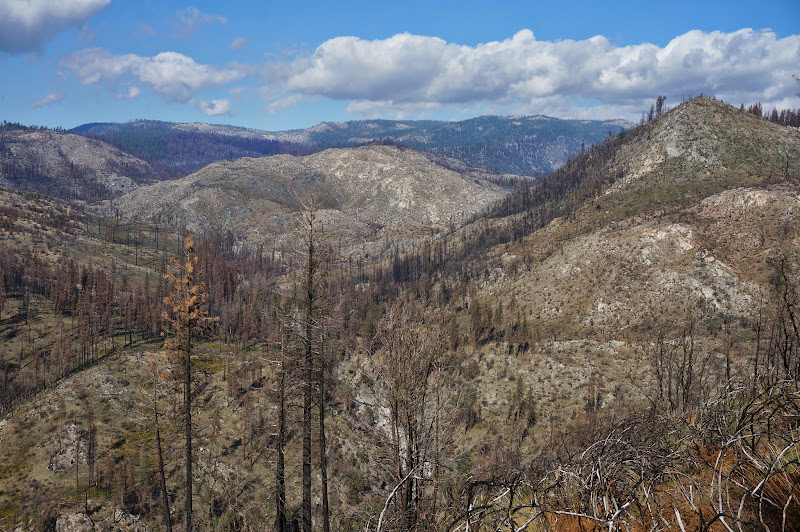
We made good time to the top of the ridge, a hike that was more like climbing Mt. Diablo (poison oak included!) than a Sierra adventure, including the spring-like conditions. Signs of the Rim Fire were all around us.
We made slow but steady progress along the ridge as we climbed to the top of North Mountain.
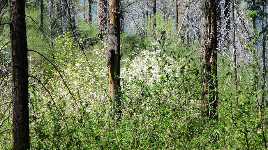
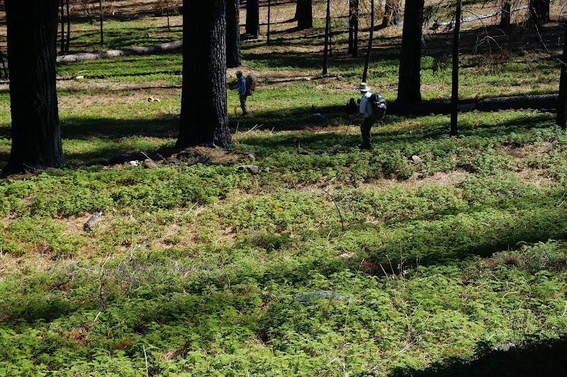
The cross-country travel was actually quite nice--a result of the fire that will probably not last more than a few seasons.
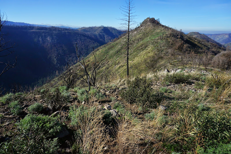
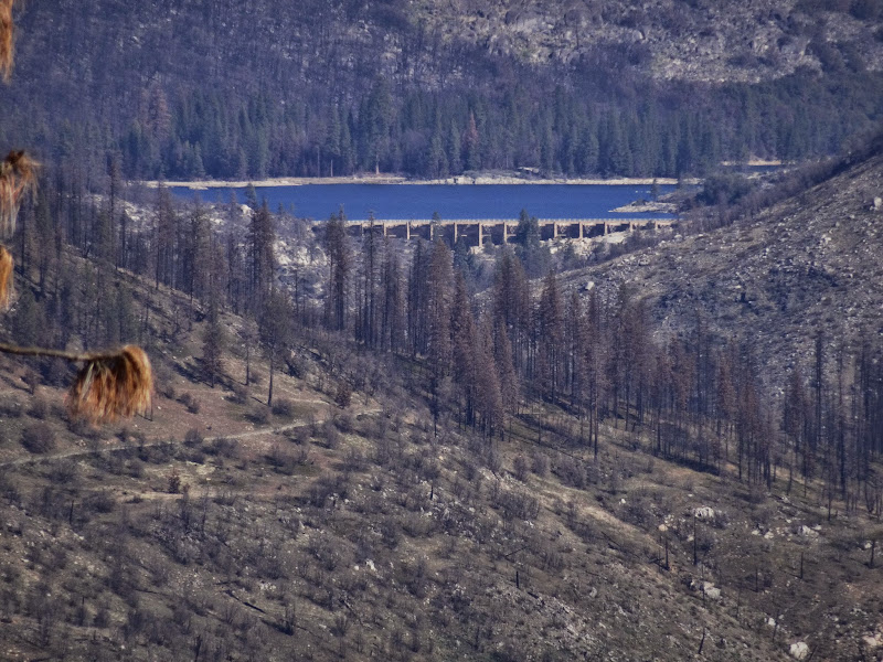
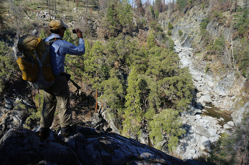
Towards the top we could see our destination for the day: Lake Eleanor. It looked far away, and the terrain between us and the lake looked quite rugged.
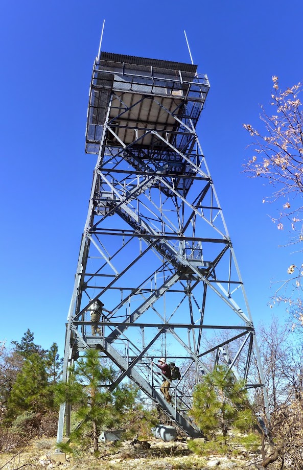
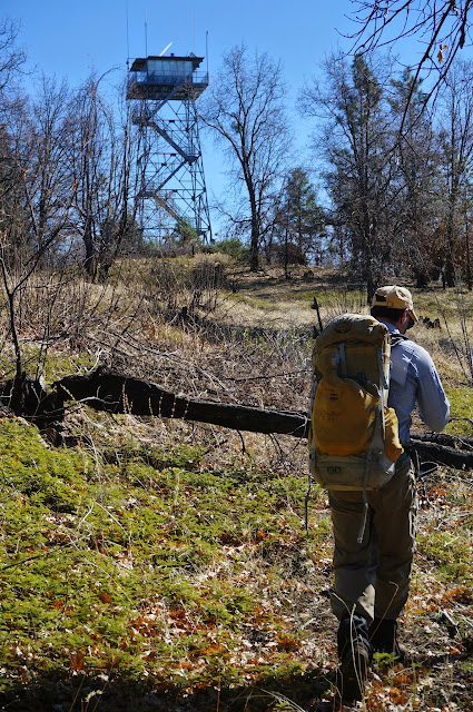
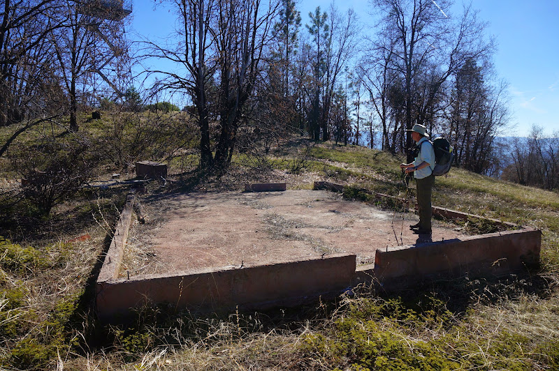
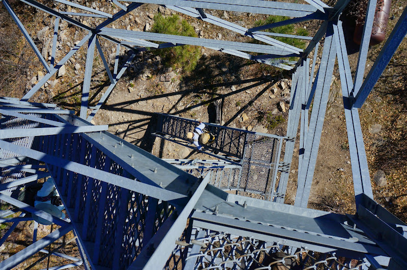
It only took us a few hours to reach the fire lookout tower at the top of the mountain; there were signs of other structures in its vicinity that had been lost to fire long ago.
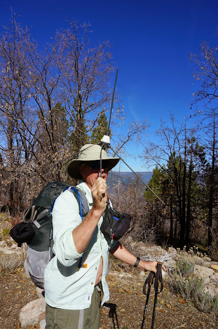
By this time we had good radio contact with OD and JKW.
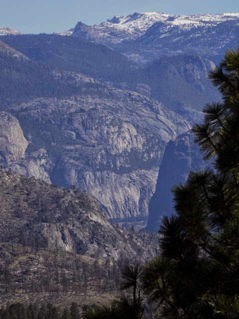
From the top of the tower's staircase we could peek into Hetch Hetchy Valley and see several high points of Yosemite.
We played around on the summit a bit, looking for benchmarks and whatever else, but we still had a lot of terrain to cover and had to move on.
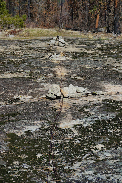
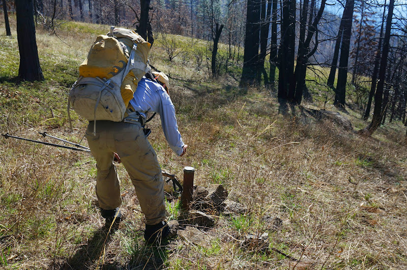
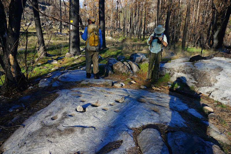
The "trail" heading east of North Mountain is (was) in fact an old road, which we followed for a bit until we broke off to search for our first target: boundary marker 46.
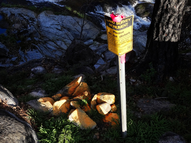
Back in 1905 the government conducted a survey of Yosemite's newly-adjusted boundaries and--generally--placed a metal marker every mile or so along the border. Our guide has over the years been making good progress at locating these, but was helped recently by Bearproof's unearthing of the survey notes--and a handy guide for translating chains, links, and "thence wandering randomly" to actual locations. Equipped with century-old notes and several modern GPS devices, we honed in on #46, which our guide graciously allowed us to find.
From there, we headed due north for the next marker. Along the way we found signs of the old boundary fence--parts of which can be found much farther to the north on Kibbie Ridge.
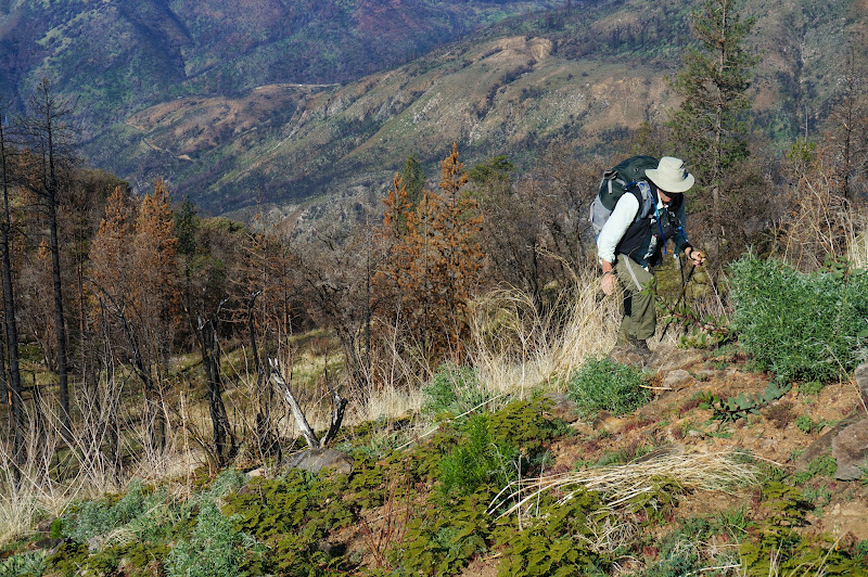
The Rim Fire had not quite cleared out all the underbrush on the way to #47, requiring some shrubbery dancing.
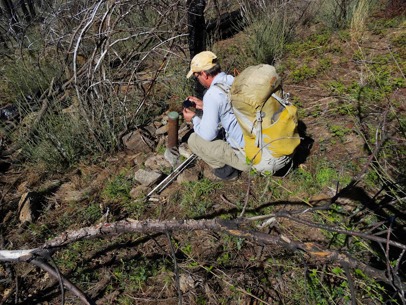
Our guide let us locate #47 as well, after which we paused for lunch.
Between us and #48 was a small gully we would have to drop into--and climb back out of. Fortunately, after the stiff climb, the terrain opened up, the results of a particularly intense fire quite evident.

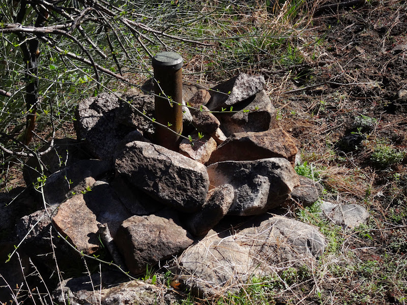
We were allowed to find #48 as well, which was in a open grassy area.
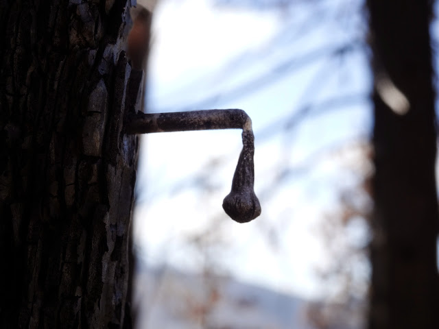
A few nearby trees still had a few burnt "signs" indicating that they were witness or bearing trees, marking the location of the boundary marker or section corner. The fire had been particularly hot in this area.
Shortly after #48 we had to drop several hundred feet to Eleanor Creek, then find a way across it. On the radio we estimated we were three hours away--an estimate that was probably an hour or two too optimistic. Lake Eleanor did not appear much closer to us, and Eleanor Creek carved a deep, rugged chasm below us.
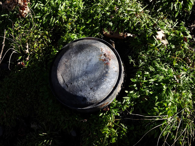
The drop was steep and loose--small rocks in muddy soil. Part of the way down we stumbled over an old canteen--perhaps from a survey party, or the team that had run a fence along the boundary. Being over 50 years old, we left it alone.
After a lot of slipping, sliding, and yelling "rock!", we reached a small tributary of Eleanor Creek, closer inspection of which confirmed we wouldn't be crossing it here.
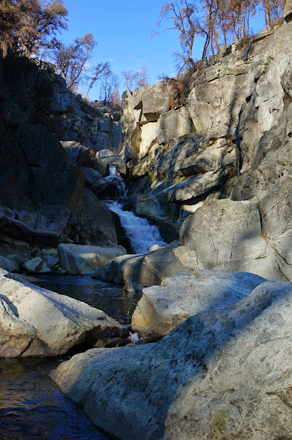
We were able to work our way up the east side of Eleanor Creek until near Miguel Creek, where it was easier to cross to the other side, from which we could see a small waterfall on Miguel Creek.
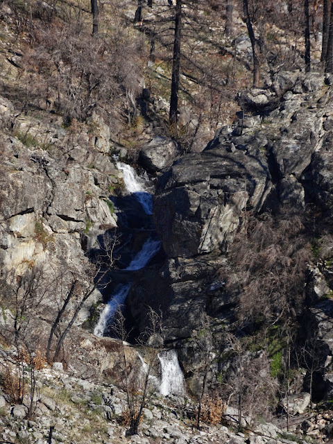
We rock-hopped up Eleanor Creek to a small waterfall in a gorge that was below our final marker goal: the elusive #50. (#49 had already been re-discovered, so we didn't waste time climbing up to it...)
#50 had been the subject of several unsuccessful searches, which OD was confirming over the radio. Unlike the previous three markers we had found, #50 was not near the well-marked section corner; instead it was 7.75 chains to the north, according to the century-old notes.
Our gracious guide, wanting Bearproof and me to have a great trip, rested in the distance and let us locate this last marker, near which we enjoyed a well-earned snack before our final push to rejoin JKW and OD at camp. We were four-for-four in locating boundary markers--with no small help from the snow-free conditions, the recent fire clearing out the underbrush, and of course the survey notes that Bearproof had uncovered.
On the way to the dam, we checked out some Indian mortars.
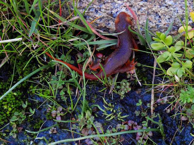
The recent rains had made things wet enough that a few newts were out and about.
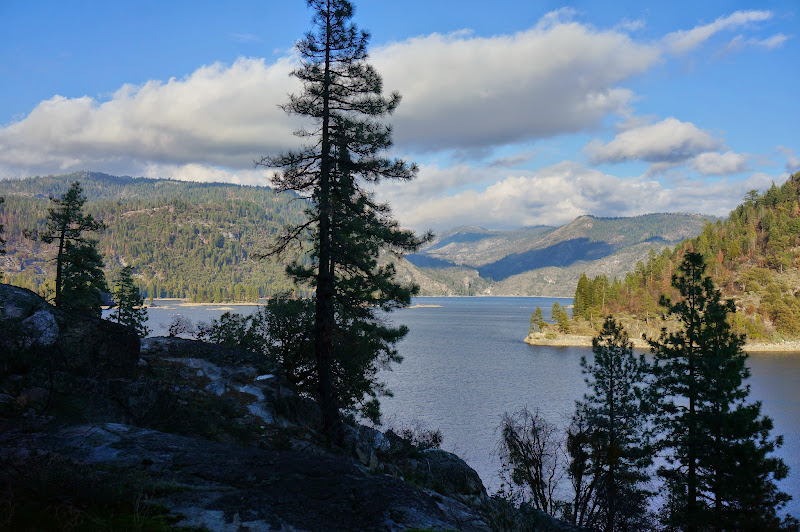
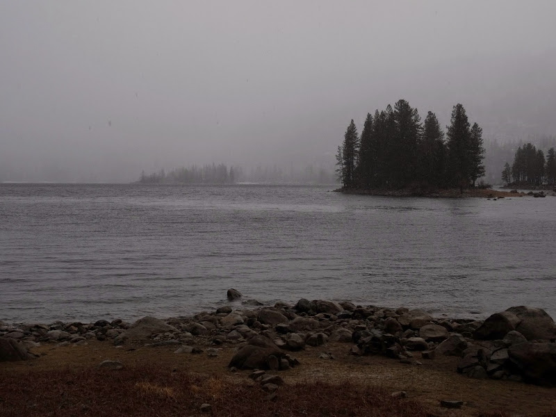
As we walked along the west shore of Lake Eleanor we could see clouds in the distance, signs that the forecast for a return of winter wasn't entirely inaccurate.
I was beat by the time we arrived in camp; fortunately, JKW had pitched the tent and inflated the air mattresses, so there weren't many more "camp chores" to be done.
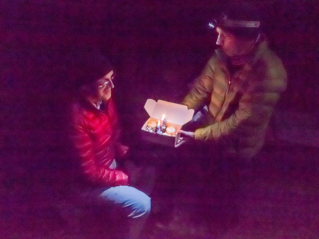
The evening was warm, and after a nice dinner we celebrated OD's birthday with some cupcakes that JKW had carried in--and some wine that OD had brought in. After a long day's hike they both went down well.
We awoke to something of an oddity--precipitation falling on our tent. What started as rain became honest-to-goodness snow as we were packing--the first sign of winter we had seen this year.

Clouds closed in on the lake as wet flakes fell from the sky.
We had only 3.5 miles to get back to the car, but despite the snow, travel was comfortable and not at all cold. Unfortunately this snow would not be around long at all.
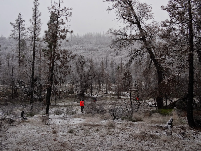
The snow concealed most of the effects of the Rim Fire, covering black, burnt trees and branches with fresh white snow.
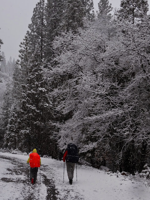
There were a few inches of snow on our cars when we arrived at the parking lot.
Overall, a successful trip--with perhaps a hint that winter may finally hit the Sierra.
More Pictures