The next morning, after packing and an unfortunate return to the car to retrieve some forgotten items, we returned to the Old Tioga Road, which is marked as a trail on many maps--and is thus a TrailQuest target. The first few miles were mostly enjoyable, and there were signs of recent maintenance and regular use by hikers.
We found a few random benchmarks, what appeared to be an old turnout, and what was probably an old campground. After we crossed the "new" Tioga Road, we encountered more deadfall and small trees sprouting from the old roadbed.
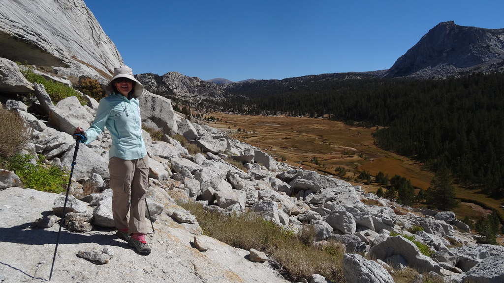
It was clear that this section had not been passed by the chainsaw gang in many years. After a short climb we reached the highpoint of our day, then began the drop into Yosemite Creek. At first, the path was open and offered nice views.
However, the "trail" soon became a cross-country jungle trek, consisting of large downed trees and dense clusters of young pines.
It seemed as if the trees actually preferred the old roadbed; perhaps the old asphalt kept the soil a bit warmer or more moist, resulting in more seedlings making it to maturity. If we weren't trying to follow a "trail" we would have chosen any available open route down nice granite slabs, but the builders of the Old Tioga Road preferred moving dirt to blasting rock, so we stuck to its now-overgrown route.
If it weren't for the occasional bit of rockwork, a random culvert or metal guardrail, the crumbled asphalt, or the occasional telephone junction box, it would not at all have been obvious we were on a "trail" that so many maps still indicate as such. Back when this was still a road, it was considered one of the most dangerous sections of the Tioga Road due to its steep grade and, in places, exposed drop-off to the side. About half-way up the steep climb, water was available for those old cars that tended to boil over.
Some unknown traveler from those days seems to have enjoyed what was hopefully a cold can of Olympia Beer.
A few cut logs indicated that the "trail" had been maintained post-road closure, perhaps to maintain the telephone line. The large number of junction boxes and splices suggests that this line required frequent attention, but it also didn't seem like it's been maintained for awhile.
Eventually we reached the well-marked, obvious trail junction in the closed Yosemite Creek campground, completing another "Trail"Quest segment.
As the campground was closed, all the picnic tables were flipped on end, presumably to keep snow off their wooden tops and benches. We temporarily flipped one back down to enjoy a late, but very welcome, lunch of sandwiches, chips, and cold beverages I had grabbed when I had returned to the car.
Earlier this year OD and I had walked through the campground before it opened. Yosemite Creek then was high enough that crossing it was a challenge; it was now reduced to isolated pools of water and a feeble trickle of a flow. We left the campground and continued down the creek on the trail, heading to another short segment we had somehow managed to avoid. The views were quite different without the rain that OD and I had hiked through the last time.
Surprisingly there was still a bit of water flowing from the few small tributaries that enter Yosemite Creek from the west, but they didn't seem to increase the main stream's flow significantly. The low water allowed for the Pink One and I to hike down the creek's granite-slab bed; we had hiked the nearby section already. Unfortunately JKW had to stick to the marked path instead of the now-dry waterslide.
There was just enough water flowing from pool to pool to keep them from becoming stagnant.
Eventually we reached the end of this particularly nice section of the creek, and I had to return to the trail to finish an unhiked segment.
The final new section of trail (for me) was only a mile or so long. We decided to stop for the night not far past this junction. The site was dry and we had just enough water, but the views made up for this.
Our typical pancakes and bacon breakfast was unusual in one respect--while I was flipping the flapjacks, we felt and heard a slight rumble--either an earthquake or a massive rockfall. Since we had cell service from our campsite, we checked the USGS site, which confirmed an earthquake 19 km southeast of Yosemite Valley. (Later, the website placed the epicenter at the ridge immediately south of Lower Ottoway Lake.)
Once the pancakes and bacon were done, we packed and headed down to cross the creek and fill our now-dry water bottles.
We hit the trail about midway up its climb to Yosemite Point, from which we could see that some distant fires were all but obscuring the views of the Clark Range.
Past Yosemite Point we climbed the ridge, checking out the viewpoints along the way.
We hiked through the forest a bit before dropping down to Indian Canyon Creek, which still had an impressive flow. Past this, we entered the area burned by the recent, poorly-named Tenaya Fire.
Not far into this burned area we hit the junction with the Lehamite Creek trail. JKW and I had snowshoed down this trail several years ago, but given the snow there was always the chance that we hadn't followed it faithfully. We stopped for lunch near the still-flowing creek, just before its steep final climb to the Snow Creek/Porcupine Creek/North Dome trail junction.
After lunch we climbed back to this junction, then back to the trailhead. We still however had one final segment of the Old Tioga Road to do--one final mile of a delicious mix of deadfall and dense pine thickets that did not at all resemble a road, or even a trail.
With a few new scrapes and bruises, we completed few more TrailQuest segments--some on actual trail--and enjoyed a few wonderful days in the backcountry.