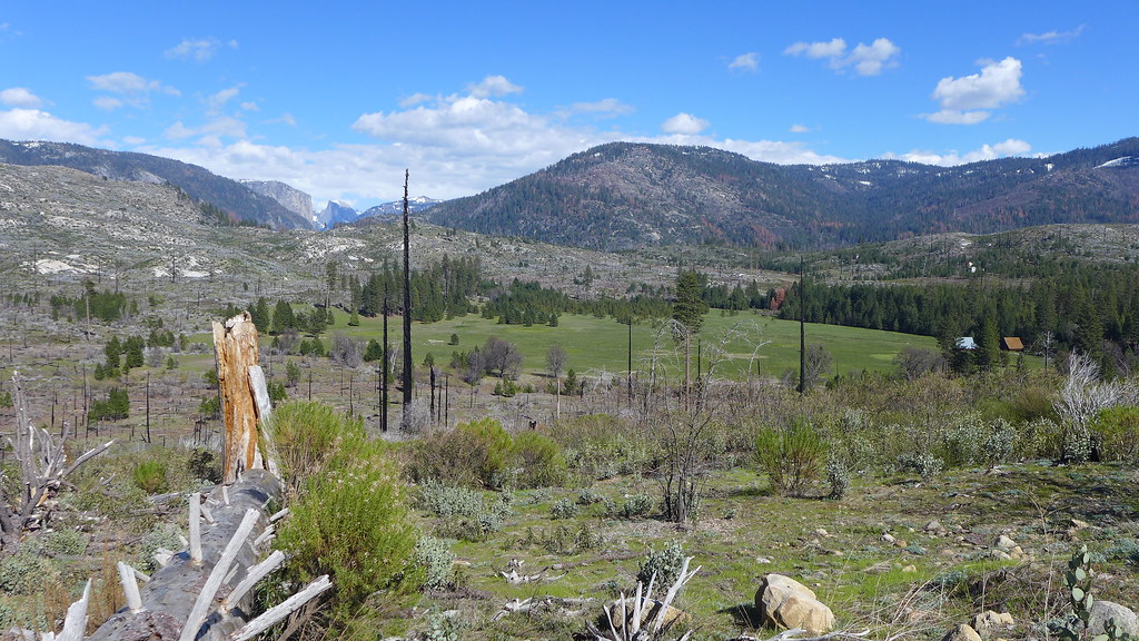
I'm thinking it's something I could hike this spring while the Big Oak Flat Road is closed south of Crane Flat.

Leave No Trace
April 18, 2017 11:22AM | Registered: 15 years ago Posts: 4,173 |
April 18, 2017 12:07PM | Moderator Registered: 14 years ago Posts: 7,421 |

April 18, 2017 01:59PM | Registered: 15 years ago Posts: 4,173 |
April 18, 2017 02:04PM | Moderator Registered: 14 years ago Posts: 7,421 |
April 18, 2017 06:38PM | Moderator Registered: 14 years ago Posts: 7,421 |
April 19, 2017 01:54AM | Registered: 15 years ago Posts: 4,173 |
|
Re: Old Coulterville Road condition (from Crane Flat to Foresta) ??? April 18, 2017 07:08PM | Moderator Registered: 13 years ago Posts: 864 |
Quote
chick-on
We (JKW, basilbop, OD, and I) hiked this road last year (it's TQ)
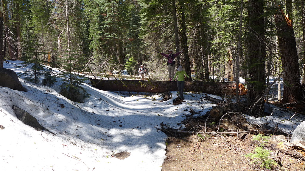
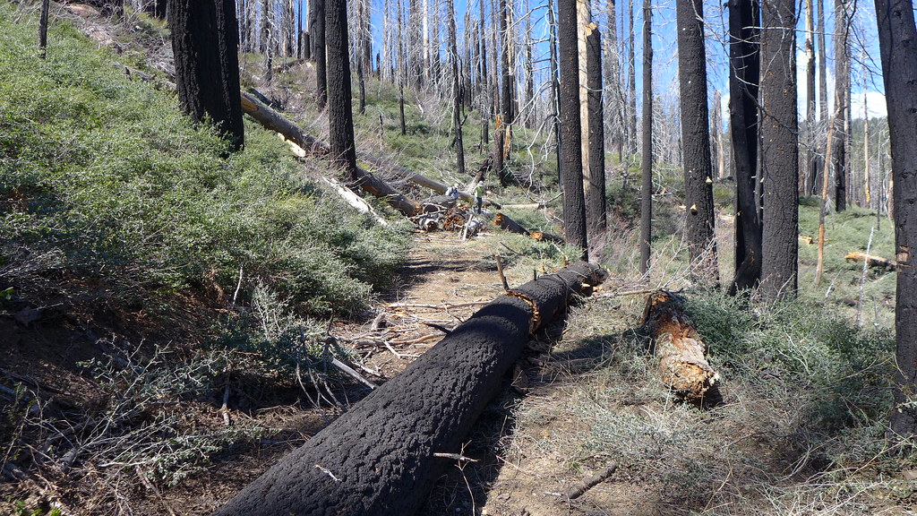
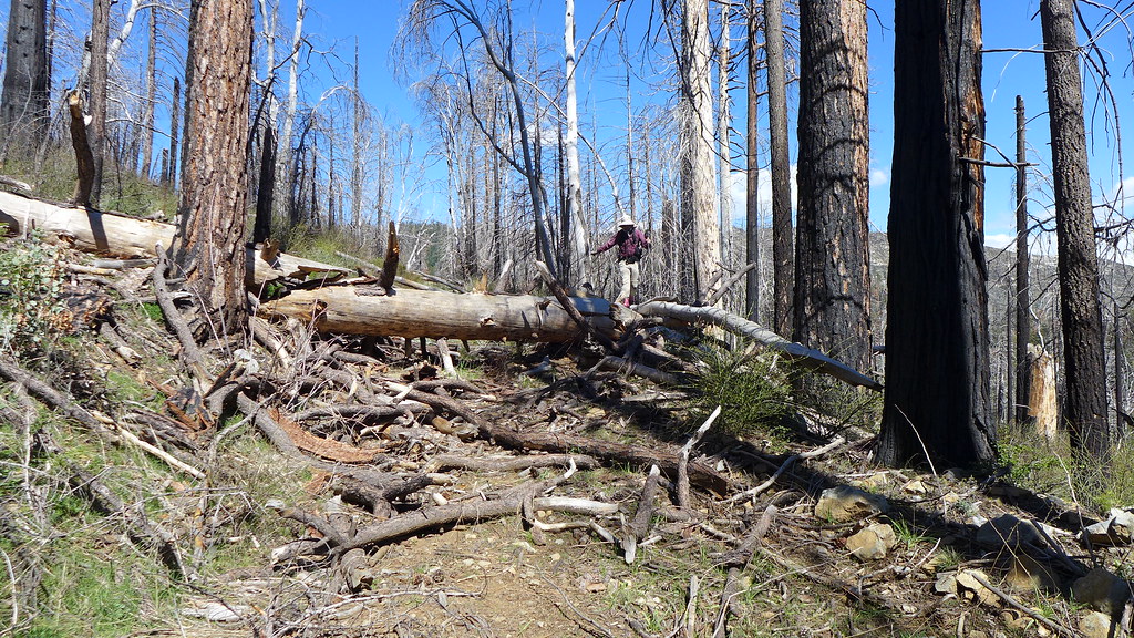
It had a lot of deadfall. Not terrible. Not great. It's a nice stroll.
I don't know if basilbop posted a TR. He might not have on account
he got snipped on a boundary marker...
From Crane Flat is it Crane Creek Road. At least that is my understanding.
Though Crane Creek Road goes all the way to El Portal.
Of course with the winter we have had it may have some washouts...
|
Re: Old Coulterville Road condition (from Crane Flat to Foresta) ??? April 19, 2017 01:14AM | Registered: 12 years ago Posts: 45 |
April 19, 2017 02:01AM | Registered: 15 years ago Posts: 4,173 |
|
Re: Old Coulterville Road condition (from Crane Flat to Foresta) ??? April 18, 2017 05:29PM | Registered: 12 years ago Posts: 45 |

