Anyway...pictures...
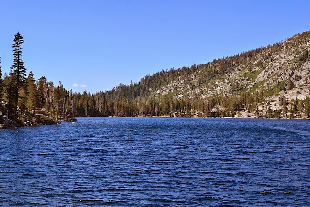
Stony Ridge Lake, after the aforementioned wind shift:
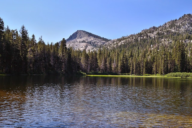
On the way up...Lake Genevieve:
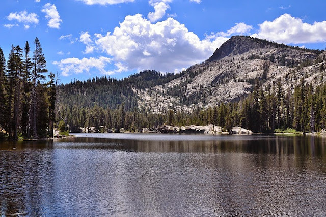
Crag Lake:
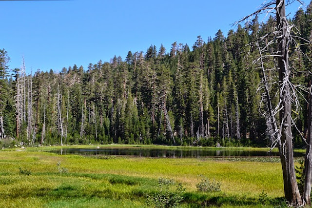
Shadow "Lake":
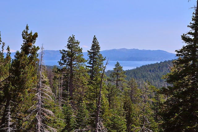
And, on the way back, Lake Tahoe...

The Moon is Waxing Gibbous (61% of Full)
July 29, 2013 07:56PM | Registered: 13 years ago Posts: 1,351 |
|
Re: Stony Ridge Lake (Desolation Wilderness) July 29, 2013 08:51PM | Registered: 15 years ago Posts: 384 |
July 29, 2013 09:02PM | Registered: 13 years ago Posts: 1,351 |
|
Re: Stony Ridge Lake (Desolation Wilderness) July 30, 2013 03:11PM | Registered: 15 years ago Posts: 384 |
Quote
ttilley
Up to Phipps Pass isn't cross-country, it's a trail.
Middle Velma is nice, I was there last year.
|
Re: Stony Ridge Lake (Desolation Wilderness) July 30, 2013 01:55AM | Registered: 12 years ago Posts: 35 |
|
Re: Stony Ridge Lake (Desolation Wilderness) July 30, 2013 03:28PM | Registered: 15 years ago Posts: 384 |
Quote
grant1
If you cross the creek before Eagle Lake and stay just right of the steep canyon there is a use trail that leads to Grouse Lakes.Look close, it cuts thru the otherwise impassable manzanita.

July 30, 2013 09:37AM | Registered: 15 years ago Posts: 4,173 |
|
Re: Stony Ridge Lake (Desolation Wilderness) July 30, 2013 07:06PM | Registered: 13 years ago Posts: 96 |
July 30, 2013 07:16PM | Registered: 13 years ago Posts: 1,351 |
|
Re: Stony Ridge Lake (Desolation Wilderness) July 30, 2013 07:20PM | Registered: 12 years ago Posts: 140 |
|
Re: Stony Ridge Lake (Desolation Wilderness) July 31, 2013 09:19AM | Registered: 15 years ago Posts: 384 |
Quote
KC
Just went here last weekend ... It has got spectacular granite, great vistas, and Disneyland like crowds in areas...
|
Re: Stony Ridge Lake (Desolation Wilderness) August 01, 2013 05:25PM | Registered: 13 years ago Posts: 96 |
|
Re: Stony Ridge Lake (Desolation Wilderness) August 01, 2013 06:14PM | Registered: 12 years ago Posts: 140 |
August 01, 2013 07:25PM | Registered: 13 years ago Posts: 1,351 |

