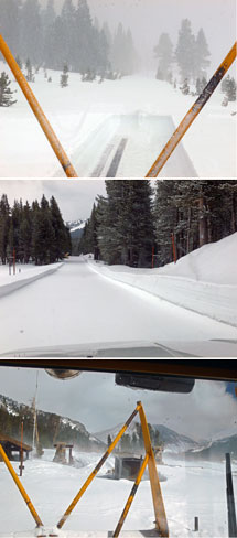
Well let there be snow and bury all that much too early plowing setting them back to mid May.
From Handford NWS today Wednesday,
...A RELATED CONCERN IS THAT THE COLD POOL WILL DROP SNOW LEVELS TO
AROUND 4000 FEET AT YOSEMITE VALLEY SATURDAY MORNING AND TO AROUND
4400 FEET IN THE TEHACHAPI MOUNTAINS. THIS IS THE ELEVATION OF THE
HIGHEST POINTS OF BOTH THE GRAPEVINE AND TEHACHAPI PASS AND LIGHT
ACCUMULATIONS OF SNOW OR A RAIN/SNOW MIX WILL BE POSSIBLE ON THESE
PASSES SATURDAY MORNING. THE MODELS HAVE THE HEAVIEST PRECIPITATION FRIDAY AND FRIDAY EVENING
WITH A SHARP DROP OFF SATURDAY MORNING. FOR YOSEMITE VALLEY...MOST
OF THE PRECIPITATION IS EXPECTED TO FALL AS RAIN...WITH THE COLDEST
AIR MOVING IN AFTER THE MAJORITY OF PRECIPITATION HAS ENDED. STILL...
AN INCH OR TWO OF SNOW ON THE VALLEY FLOOR IS POSSIBLE SATURDAY
MORNING.
So could see snow on the valley floor Saturday morning? May change my weak weekend plans and Friday after work directly drive up to the usual jeep road place I overnight along SR49 south of Coulterville. Then dawn drive in on SR140 and see what might be worthwhile. After morning light gets too harsh will head back down by El Portal where there ought to be enough late spring wildflower closeup work to keep me occuppied. This spring despite the droughty conditions has yet been another one I've managed to find some goods. See bottom of this page, last two rows #31 and #32. The poppy image was down in the lower Merced River canyon 4 weekends ago.
http://www.davidsenesac.com/Gallery_B/gallery_b.html
http://www.davidsenesac.comEdited 4 time(s). Last edit at 04/23/2014 01:19PM by DavidSenesac.