Welcome! Log In Create A New Profile Recent Posts
Half Dome from the Four Mile Trail to Glacier Point, Yosemite National Park

The Moon is Waxing Gibbous (90% of Full)


Advanced

Redtop to Sing Peak Traverse?

All posts are those of the individual authors and the owner of this site does not endorse them. Content should be considered opinion and not fact until verified independently.

Redtop to Sing Peak Traverse?
September 08, 2010 11:26PM
I recently summited Redtop Peak. I had originally planned to traverse to Sing Peak but ran out of time (energy). Has anyone done it? Please see article. Is it possible as a non-technical route?
avatar Re: Redtop to Sing Peak Traverse?
September 09, 2010 07:15AM
I guess they were called Spotted b/c they looked "spotty" on the map, not due to
the "spotted" rocks nearby.

Mount Savage looks further south... sorry...

Def. not gonna be technical traversing to Sing. Class 2. Very easy class 3 at best.
Was there last year and was disappointed to see anyone there. There was a
group at the largest lake, dayhikers at the upper lake, and other dayhikers we
saw on our x over from Chain... so... YMMV as to how unused the area is...
Always have come in from Quartz but it looks like you can almost drive right up
Redtop if you have a 4WD via 5S04.

Once you get to the east saddle below Sing it's a trivial walk up. There even
looks like there may be a trail below (south) of the knob b/t the two peaks.
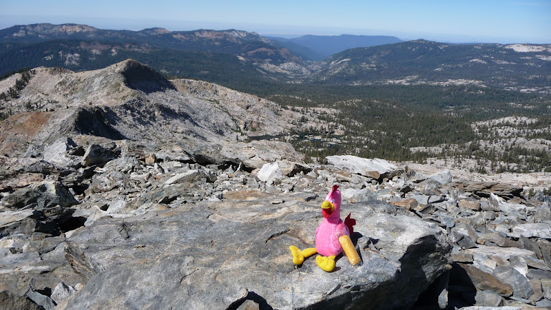
View from Sing:


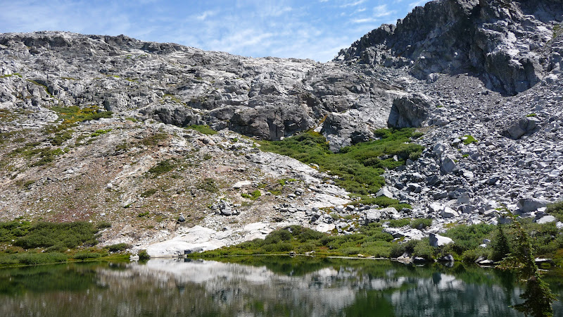
View E-SE from upper Spotted:


More rocks near largest Spotted:

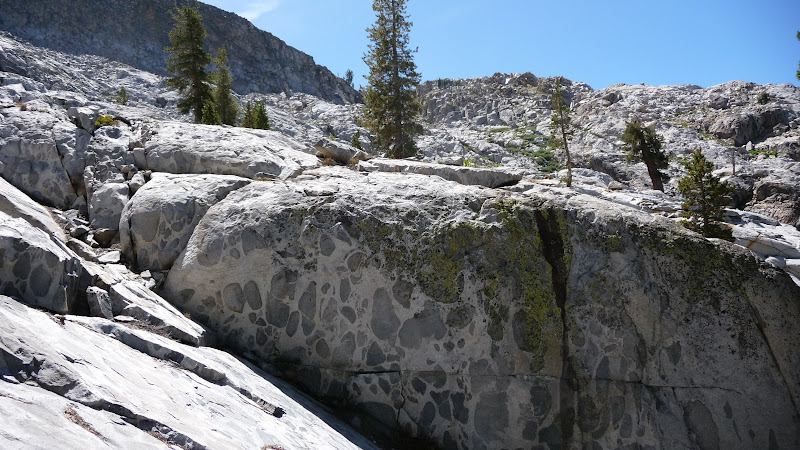
(Porphyry is soooo cool... so was pretty happy to see same rocks here that could point out to the wife who
wasn't with me on the trip to Porphyry)

Route:
avatar Re: Redtop to Sing Peak Traverse?
September 09, 2010 07:21AM
Re: Redtop to Sing Peak Traverse?
September 09, 2010 10:17AM
Thanks, I didn't include Savage because it's so low and covered with trees and Wawona Point is a point not a peak. I guess i should have said southern most peak over 9000 ft. In Peter Browning's book Yosemite Place Names..the lakes are "possibly named because of their spotty appearance on a map." So, I'm not buying it.

5S04 turns into 5S70, and 5S70A veers off and is 4wd for 1.5 miles to end near a miners shack and 4 wheelers have tried to continue on up the mountain but haven't gotten far.
Sorry, only registered users may post in this forum.

Click here to login