
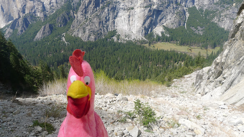
Getting this view on the way out:
So why not take some time and hike to the base?
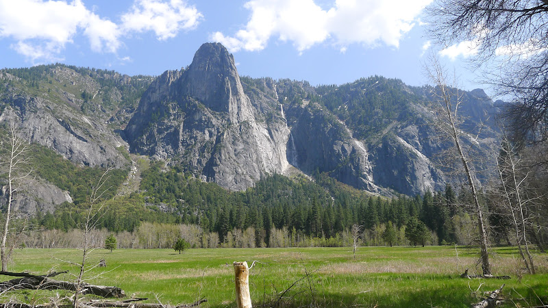
The quickest and easiest way up there is to take the 4 Mile Trail and when the
initial switchbacks are over and you've climbed about 500 ft... and the
trail levels out and makes it's traverse in front of Sentinel Rock... instead of continuing
just go straight up...
I was coming down from GP so I ended up going to the end of that switchback
and then heading sort of WSW ... eventually getting to the creek itself.
Like this:
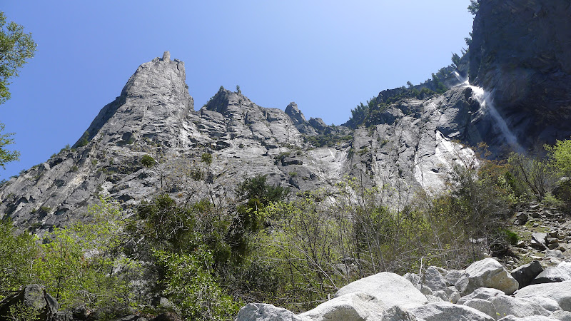
At that point you could maybe go up the creek... but it's all steep... and there are
willows and lots of boulders to deal with... and still at least 400 ft. up to the base.
If you like boulder hopping you would enjoy this... a bit of willows to content with...
but good fun:
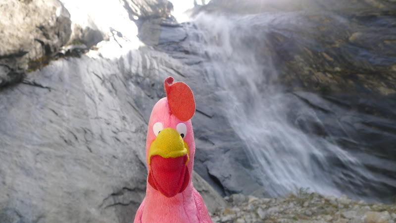
At the base it's a nice fall with a pool at the bottom...
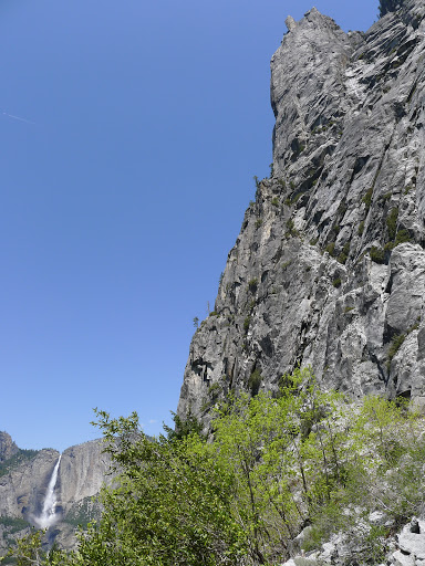
If you went up this way... then you'll quickly see that the best route down is right next to the wall
that makes up Sentinel Rock area...
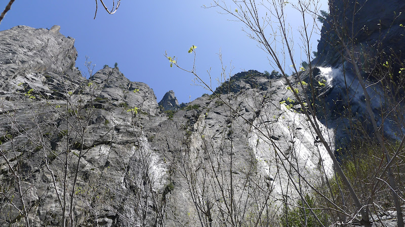
So... my recommendation... is to try to get to that base as quickly as possible from
the 4 Mile Trail... and then you're home with great views and simple xcountry.
Getting to the base is very steep though with boulder hopping.
Have fun and be safe


