
The first day started with a long drive from the Bay Area, then a big climb from Roads End (5000') to Grouse Lake (10,500') with packs loaded with 9+ days of food. It was slow going (for me), and at times I didn't think I'd make it: too much weight and not enough energy, but I felt a bit better as we ascended, especially once in the open area of Upper Tent Meadow. Not great, just better...
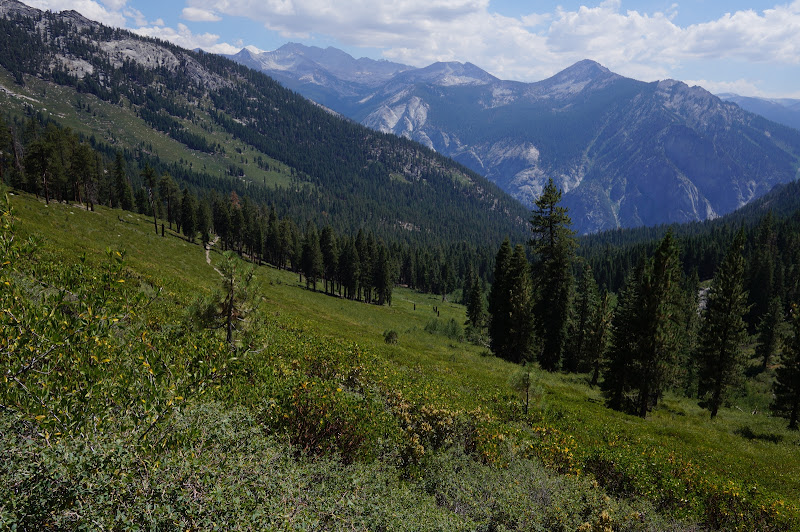
Near the top we were taking each switchback one at a time, resting between each one. Eventually we reached the ridge where the trail drops to Glacier Lake and Pass, and we started the first cross-country segment: a short mile-long stroll to Grouse Lake. We (I?) arrived at the lake with nothing left, but it was worth it.

The next day, recharged a bit, but packs still heavy, we crossed the relatively easy Grouse Lake Pass and strolled through beautiful, open country towards Goat Crest Saddle, with views of Granite Lake in the distance.
From the saddle, we could see the upper Glacier Lake and, in the distance, the dark mountains surrounding the Ionian Basin and Enchanted Gorge (an early potential goal we decided to save for another trip...).

From there the route drops to a second Glacier Lake, then enters Glacier Valley which has two nice meadows. Past these we picked up the lightly-used trail to the State and Horseshoe Lakes.
Past the Horseshoe Lakes, we were off-trail again, climbing to our next campsite at Windy Ridge.

The next day we dropped into the South Fork of Cartridge Creek via Grey Pass, then followed a chain of tarns and lakes eventually to White Pass.

At White Pass we encountered a ranger, the first person we had seen since above Upper Tent Meadow. The next destination from White Pass was clear: Red Pass, just south of Red Point.

The drop to Marion Lake was unrelenting, but was rough really only at the final drop into the lake, which descended a rocky notch:
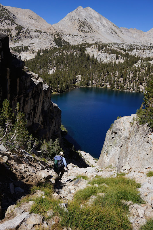
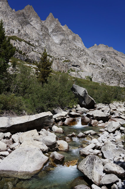
While Marion Lake was wonderful, as advertised, we decided to push on to the more open Lake Basin, camping on granite slabs near the L-shaped lake.

The next day involved a "crux" of the trip, one of the two or three hardest passes of the SHR: Frozen Lake Pass. After exploring a few more of the lakes of Lake Basin and checking out parts of the old Cartridge Pass trail, we started the climb to this pass. The pass was difficult only in that it involved a lot of (mostly solid) talus, especially on the north side. Despite looking like a wall from the north and south, Frozen Lake Pass has little actual exposure.

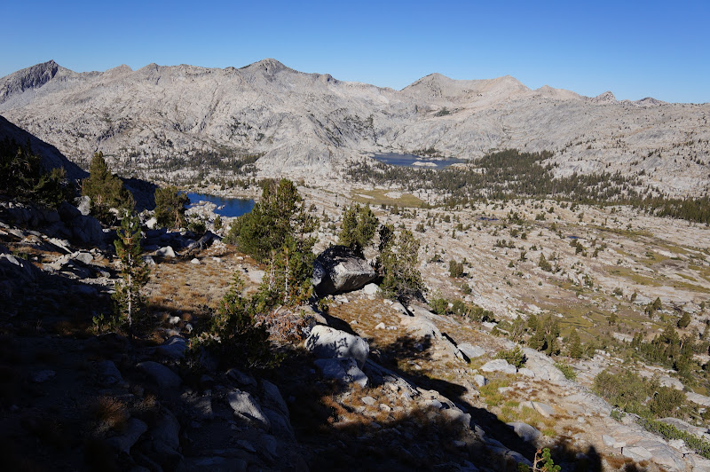
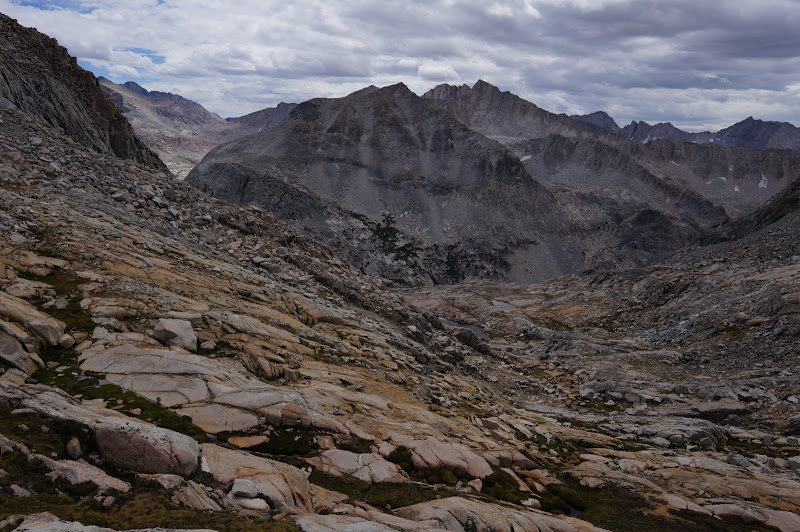
Once at the pass, we enjoyed the views of Upper Basin.
After spending the night on the north side of Mather Pass, above the Upper Palisade Lake, we explored the two Palisade Lakes a bit before beginning the climb to the next pass on the SHR: Cirque Pass. By the time we were at this pass, clouds were forming (later, we would learn that a monsoonal system had entered the area...)
From Cirque Pass, we descended granite shelves and ledges to the large lake between this pass and the next one: Potluck Pass. We took a bit of a variation on the Roper route (I think it was the "Super Chick-On route"
 , but managed to find the "hidden" ledges near the top of the pass, where we had views of the Palisade peaks (esp. North Pal. and Polemonium) and Palisade Basin.
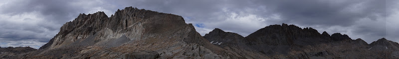
On the small ridge in Pal. Basin we considered stopping for the night, but decided to push on to explore some other Barrett Lakes. We preferred our campsite on the ridge, and managed to loop back to it and get our shelters piteched just as the rain started. The rain stopped later in the evening, in time for sunset, but it rained a bit more during the night. Long ago, my original plan for this trip was to exit via Dusy Basin/South Pass, but the current plan was to backtrack to Upper Basin and return to Roads End via Muro Blanco. That night, we both worried about re-crossing the granite ledges of Potluck and Cirque in the rain--if that would even be possible...

In fact, the next morning was mostly clear, and we had no problem returning to the Palisade Lakes.
Clouds formed again, and we encountered light sprinkles going up Mather Pass. As with the previous night, we managed to get our shelters pitched near the large lake in Upper Basin just as a brief shower started.

The next day we decided to visit a few more lakes in Upper Basin. Just after leaving the lake due west of Split Mountain, we noticed dark clouds invading Upper Basin, and soon had on our rain gear.


The storm was cold and windy, but by the time we were near the trail, it had passed and the sun was out again.

Just past the Taboose Pass junction, the JMT takes a hard left turn to cross the S. Fork Kings River. Several logs are piled up here so you won't be mistaken that the trail goes straight. In fact, long ago, before the current Mather Pass route was completed, the still-visible and blazed trail past these logs was a segment of the JMT, continuing over Cartridge Pass, through Lake Basin, just past Marion Lake, then down Cartridge Creek. to the Middle Fork of the Kings River, just upstream from Simpson Meadow. On the map this abandoned trail continues past the Cartridge Pass junction, but we quickly lost it.
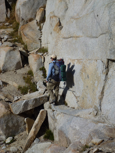
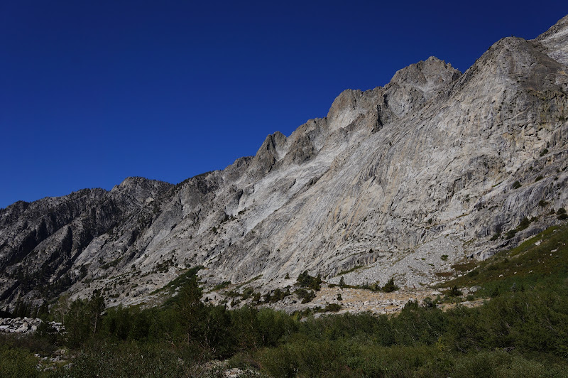
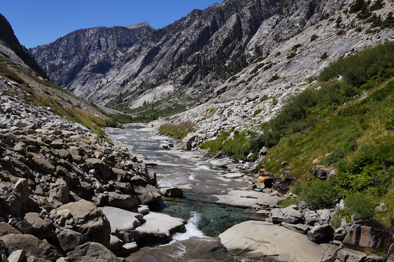
Beyond it is what is called a "classic Sierra bushwhack": the canyon of Muro Blanco, otherwise known as simply "Muro Blanco". (Muro Blanco itself is technically the name of the south canyon wall...)
Muro Blanco is a fun mix of talus and often-thick brush. Progress is often easiest on the talus. When that fails, second best is the river itself--a convenient trick that works only when the water is low. The brush, on the other hand, is often thick and hard to make much progress through.

After a few miles of talus/brush/river walking, we found a nice campsite on the south side of the river and stopped for the night.

Early on, we had plans of reaching Roads End by day-end, but Muro Blanco got the best of us. The first half was very beautiful, so we spent a lot of time taking pictures of the various domes, spires, cascades, and waterfalls.


As the afternoon progressed, the routefinding became a bit more intricate, and we often found ourselves boulder-hopping in the river, that being the most expedient option available. We realized that we would not be able to reach Roads End by nightfall. (Note that even with ideal conditions--no snow and low water--Muro Blanco almost definitely isn't the fastest way from the JMT at the South Fork (or even the base of Cartridge Pass) to Pleasant Valley. Instead, go over Pinchot Pass and descend Woods Creek...)
We eventually hit the trail in upper Paradise Valley and decided to push onward to the campground at Lower Paradise. We briefly considered (again) exiting that evening, but decided instead to spend the night in the calm, peaceful, and mild campsite. By this time we were mostly out of food and could take only a few more pictures due to empty batteries and/or full memory cards.
The hike out to Roads End the next day was uneventful. All in all, it had been a great trip, with wonderful companionship and beautiful scenery. I think we saw maybe four people total off-trail, and probably 10x that while on trail.
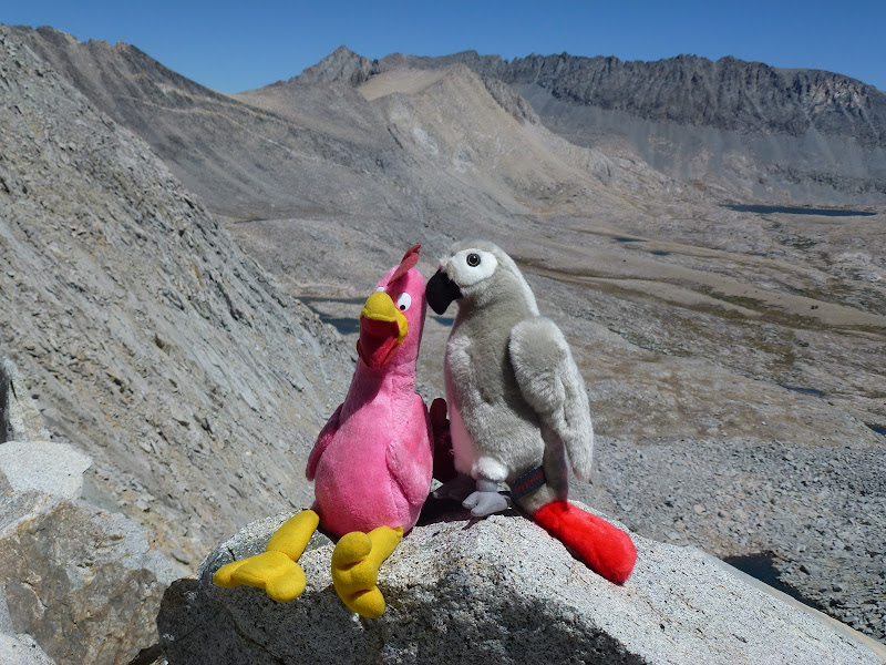
Oh, and we kept encountering these two strange birds that seemed to be everywhere...
(Many) More Pictures

 )
)


