
Yosemite 2012 trip. Day 2: Cascade Creek to Yosemite Falls
2012 Yosemite Trip, Part 3 (days 3-5): YOsemite FAlls to Olmsted Point and May Lake
2012 Yosemite Trip, Part 4 (days 6-8); Tuolumne Meadows, Glen Aulin, Cold Canyon, Miller Lake, Matterhorn Canyon, Burro Pass
2012 Yosemite Trip, Part 5 (days 9 and 10): Slide Canyon; Mule Pass; Crown, Robinson, Peeler Lakes; Kerrick Canyon, Peeler Lake, Rodgers Lake
2012 Yosemite Trip, Part 6 (days 11-13): Rodgers Lake, Rodgers Meadow, Pate Valley Grand Canyon of the Tuolumne, Waterwheel Falls, Le Conte Falls, Tuolumne Meadows
Aerial pics from plane of Northern Yosemite
From Mid-July through August 1st, my nephews and I backpacked for about 13 days. I began a multipart trip report a few months ago and then did not get back to it. Here is another leg of the trip.
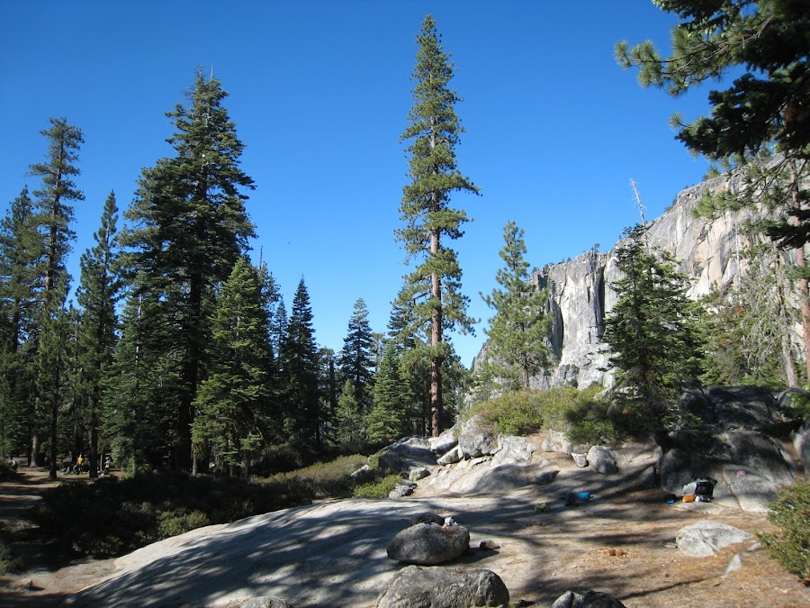
The previous evening we arrived just before dusk and had just enough time to checkout the lookout onto a falls that barely existed. We figured out how to get to the water (to drink) and then where to camp nearby (along the eastern edge of the river, a tad upstream). This camping area was very heavily utilized that night, including a large group of boy scouts. So, while it was not ideal, it did serve its purpose for the night.
Below is the area in which we camped:
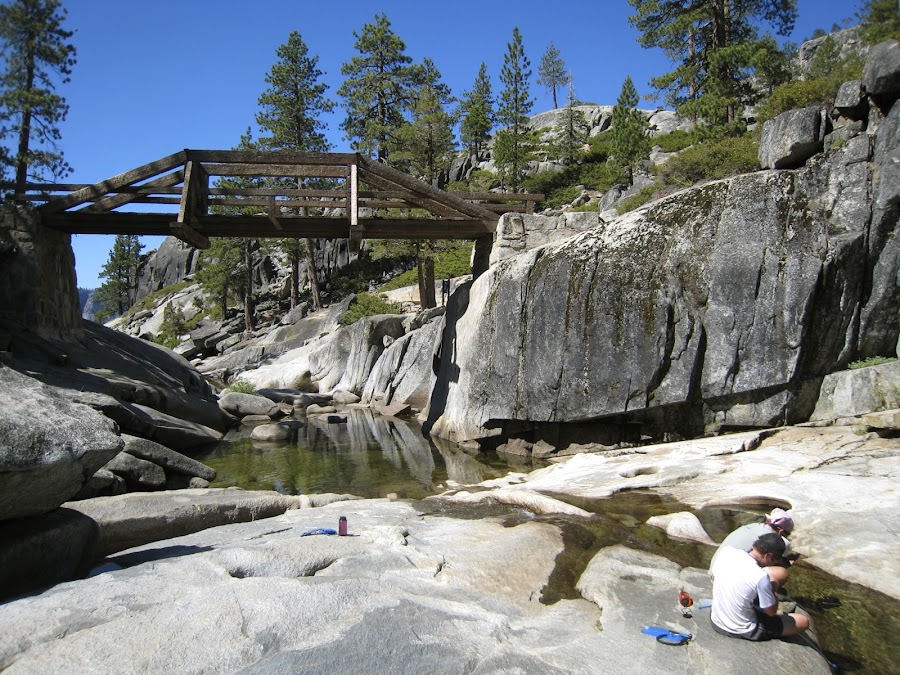
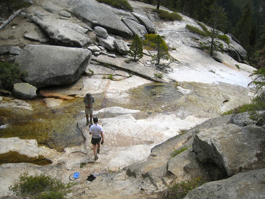
This morning we got ourselves together, stopped beneath the bridge to filter some water and headed to Yosemite POint. I have no idea what this area is like when water flow is "normal", and whether the river is easily and safely accessible for getting water at those times. Clearly, during the worst drought in 30 years it was no problem.
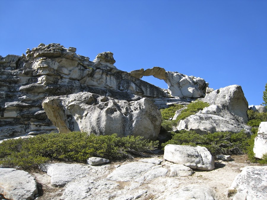
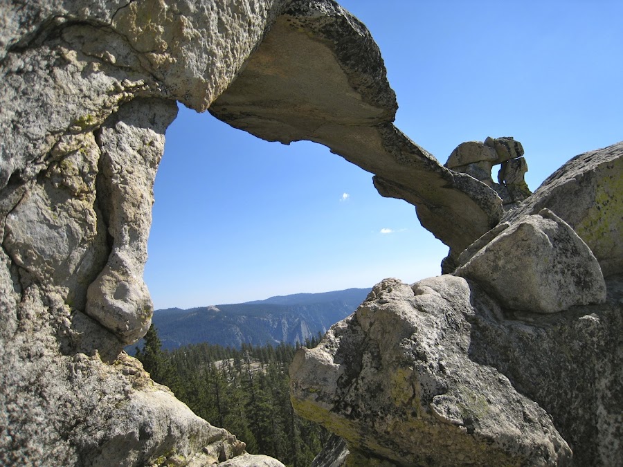
We stopped at the raililng at Yosemite POint, and then found this other place. I can't remember it's position relative to the place where the railing was.
Here at Yosemite Point, we ran into some guy who had hiked up the FAlls Trail from the Valley that morning and was headed to North Dome. This was a planned "day hike" for him, but I think the hike grew in length without consideration of his water supply, food supply, lighting, and physical condition. We ran into him periodically along the way and finally at North Dome, where he was exhausted, dehydrated, sunburned, etc and it was very late in the afternoon. He had no provision for lighting shelter, or jacket, but was headed back to the Valley. We gave him what we could and encouraged him to hydrate, but I was skeptical as to whether he could make it given his physical condition. I hope he did. It was a good reinforcing lesson for us.
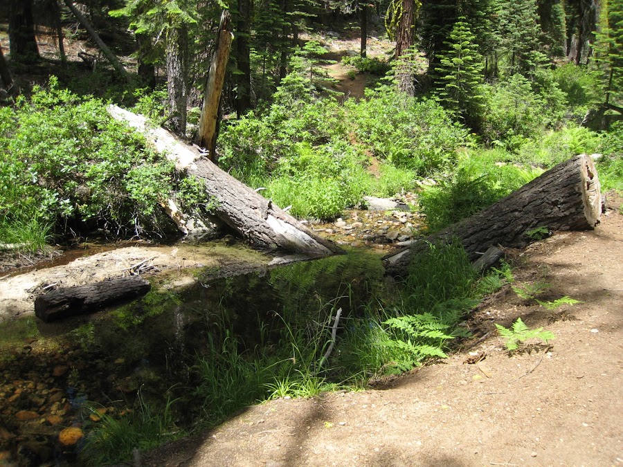
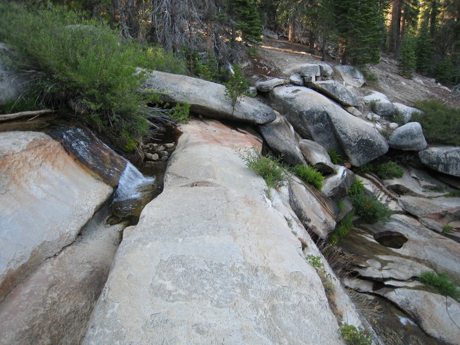
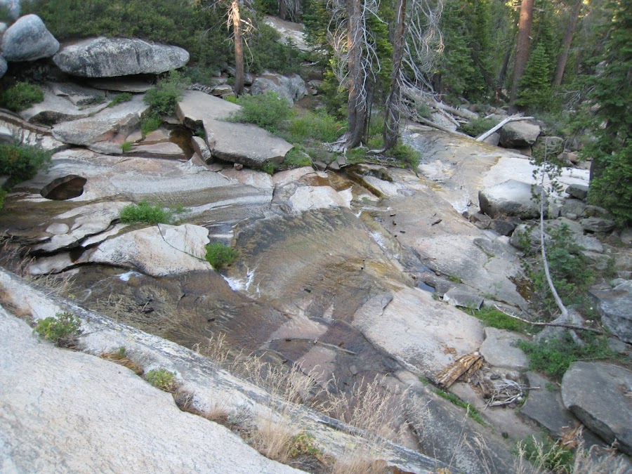
We crossed a couple or more creeks on the way to NOrth Dome, all were pretty much a trickle. Below are photos of two of them in the order we crossed them. I am assuming they are either Indian Canyon Creek, Lehamite Creek or Royal Arches Creek, but do not know which.
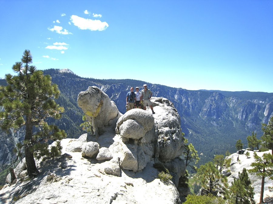
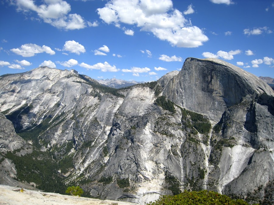
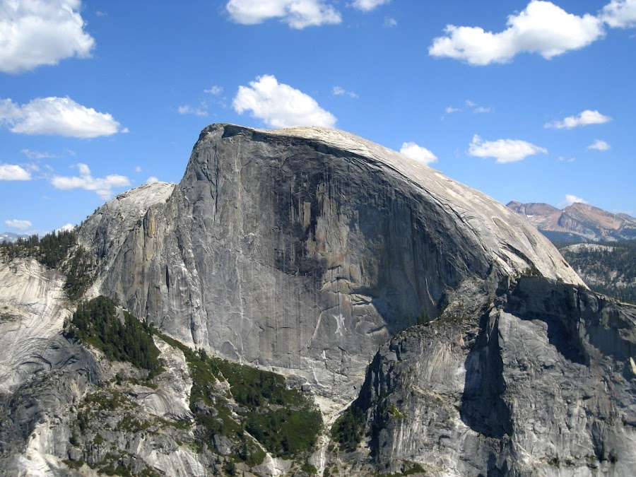
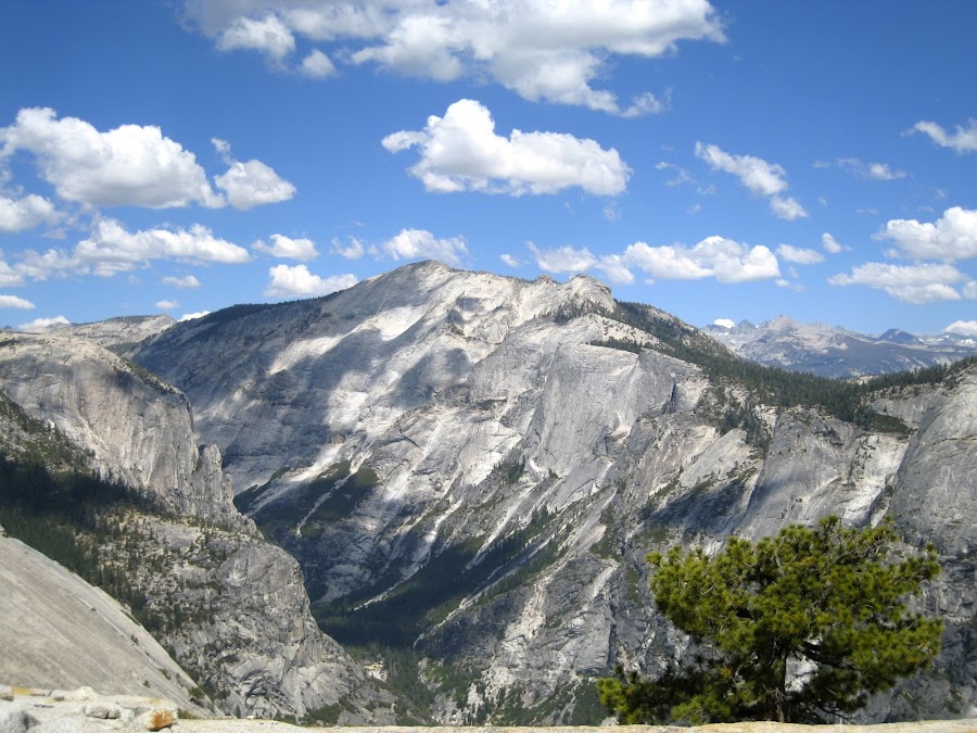
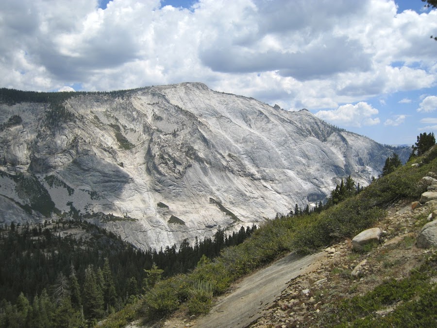
When we approached North Dome for a minute we thought we were on it, as we were on a large exposed dome like surface, but realized that North Dome was immediately to the East. We dropped our packs before descending the trail that heads to North Dome. From their the view was Spectacular and the sky and clouds made it all super beautiful.
We hung out there for a while and enjoyed the view before bidding our (sometimes) traveling companion of the day (mentioned above) "good luck" and heading back up to our packs and then towards Indian Rock. These pics are of Indian Rock from the approach and from the backside.
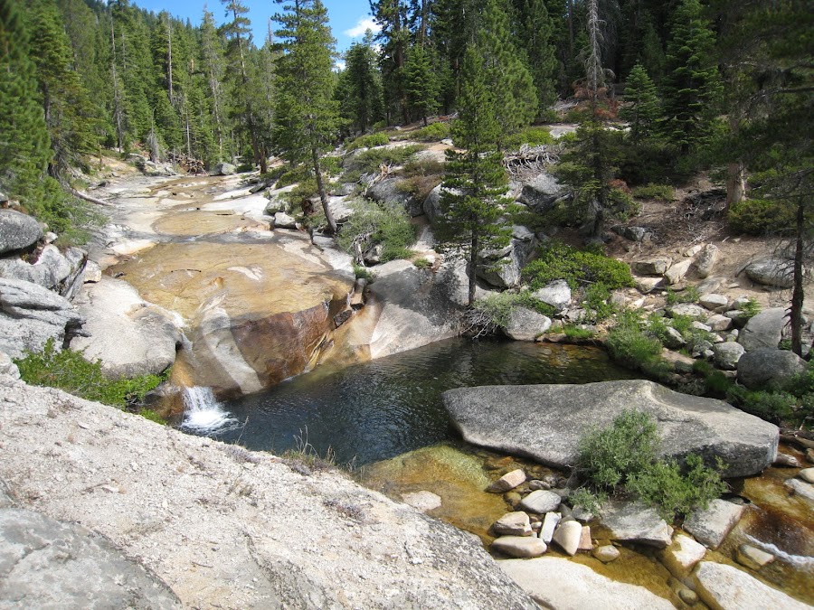
It was now getting late in the day, we needed to find a water source, and get settled into camp before dark. We headed on North and took the easterly path at the trail junction towards snow creek. We ran into the creek where the trail turns and heads south. I had read that the "cascades" there are quite something, but as you can see, not on this day. These Cascades are on Porcupine Creek just before it joins Snow Creek.
We lingered there a bit and pretended it was an awesome cascade of water joyously rushing towards its plunge into the canyon. Then when our imagination wore thin, we headed on towards our campsite just before the trail descends into the canyon. We passed the footbridge, but did not cross it.
Our campsite was Awesome! And we arrived just in time to see the light show from the setting sun on the face of the dome.
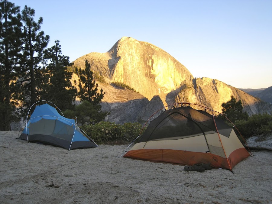
We were not alone in this location; there were 2 or 3 other campsites, but the location is huge so it was no problem. It was not obvious to us where the river was or how we would get to it to get water, but we figured it out. I'm not sure what one does when the creek is raging.
That night when darkness had fallen completely, at one point, we saw lights on the face of half dome. I am not sure why, but that gave us a bit of a vicarious thrill, thinking about folks hanging on the side of that rock sleeping. To say it was windy that night would be a vast understatement. The nephews wanted to sleep without the fly, while I thought I should sleep with it given the wind. Before we went to sleep, both added the fly. Then in the middle of the night one took it off. I wanted to take mine off, but did not. It was a choice of one poison over another. The wind was so fierce that it really woke me constantly whipping against the tent fly. The nephew who removed his had the same problem and opted to deal with sand blowing in the tent over the noise. We also had a deer hanging out that appeared to be a bit territorial.
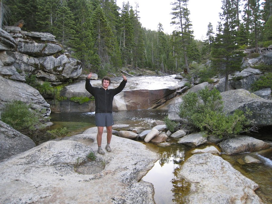
The next morning was beautiful. We gathered some water from the River before heading out:
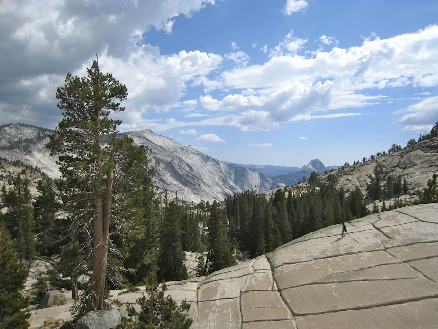
We departed heading north towards Tioga Road. We crossed the footbridge and then at the next trail junction took the right (easternmost) trail headed towards Olmsted Point instead of the left traili heading towards May Lake. Along the way, clouds rolled in and created some drama in the sky and some nervousness for us as we were rather exposed along this section.
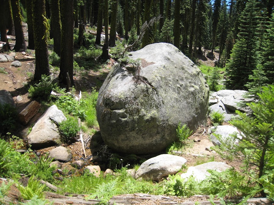
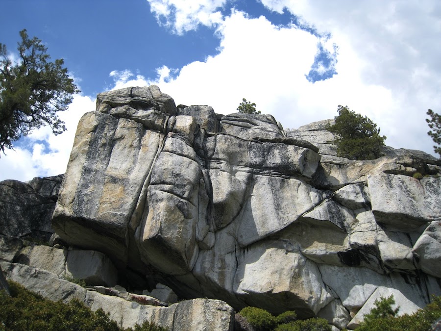
I liked this rock, so I took it's photo:
We emerge at Olmsted Point. It was rather odd. People were looking at us coming up from below like we were aliens. "Why are people walking around down there with big packs on?" "Is this an actual "backpacker" siting?". That is what I imagined they were thinking / saying. It was weird. They were all fresh, clean, peppy and snacking. We.... were not.
The other thing that was really odd to us happened around North Dome. We had been hiking for 3 days, albeit through areas that have fairly heavy traffic. At North Dome we were hot, hungry, and thirsty. Then we look up and there are all these folks standing around eating sandwiches, cold drinks, and other prepared foods that seemed out of place. We couldn't figure out where these people had come from. It seemed that there was a snack stand hiding around the corner that we did not know about. Later, we discovered they had all hiked in from Porcupine Flat campground, which I guess is a relatively short and easy walk.
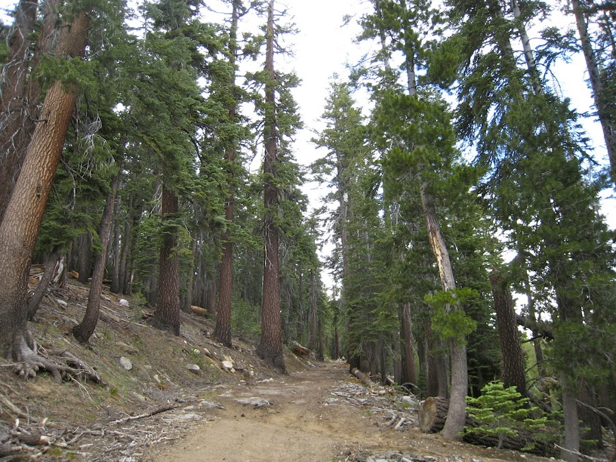
We caught the shuttle to Tuolumne Meadows, where we dined in fine style at the Grill, and stayed in the Backpackers Campground. The first part of the trip was over. We needed to get food we had shipped ourselves from the post office the next day and prepare for the next leg of the trip. The next day, after getting our next Wilderness Permit and our food from the post office, we headed to May Lake (and hoped to get up to Mount HOffman). This is the trail heading to May Lake:
I was curious about both, and had heard great things about Mount Hoffman, and was additionally intrigued by John Muirs advice to head immediately to Mt. HOffman upon arriving in Yosemite.
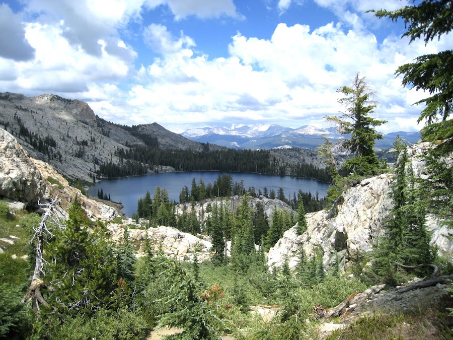
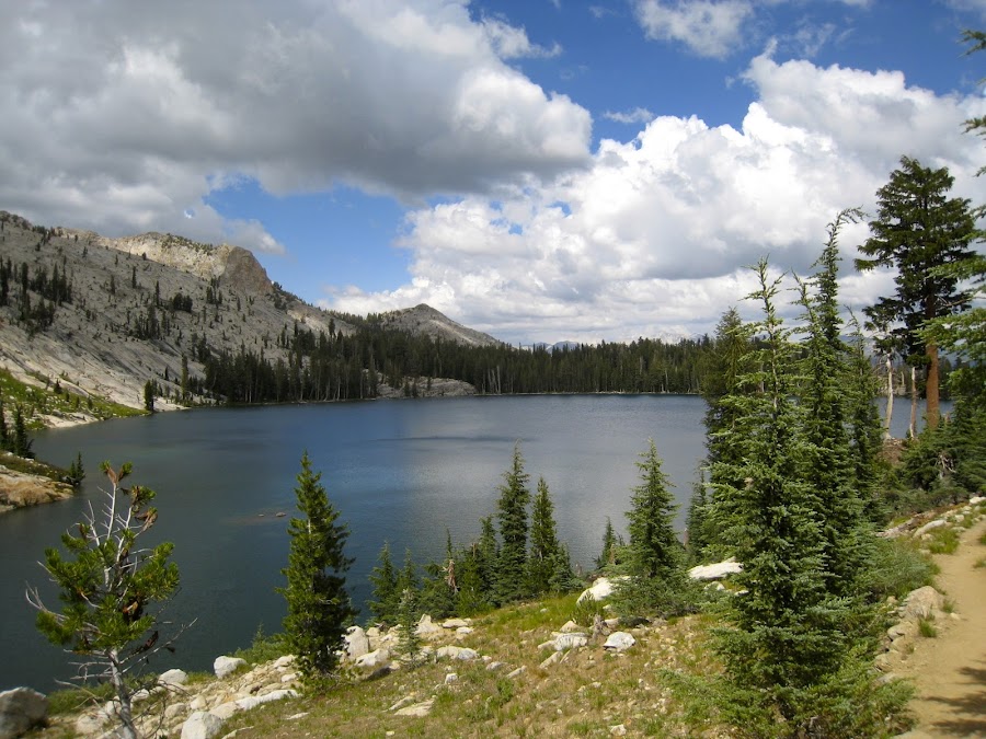
May Lake was beautiful!
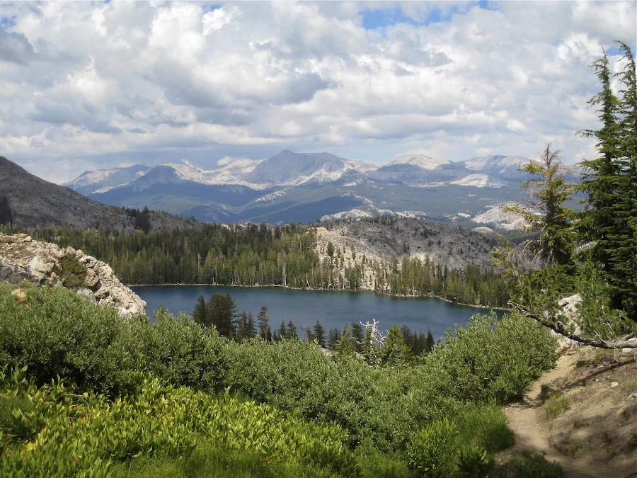
Mt. HOffman from partway up:
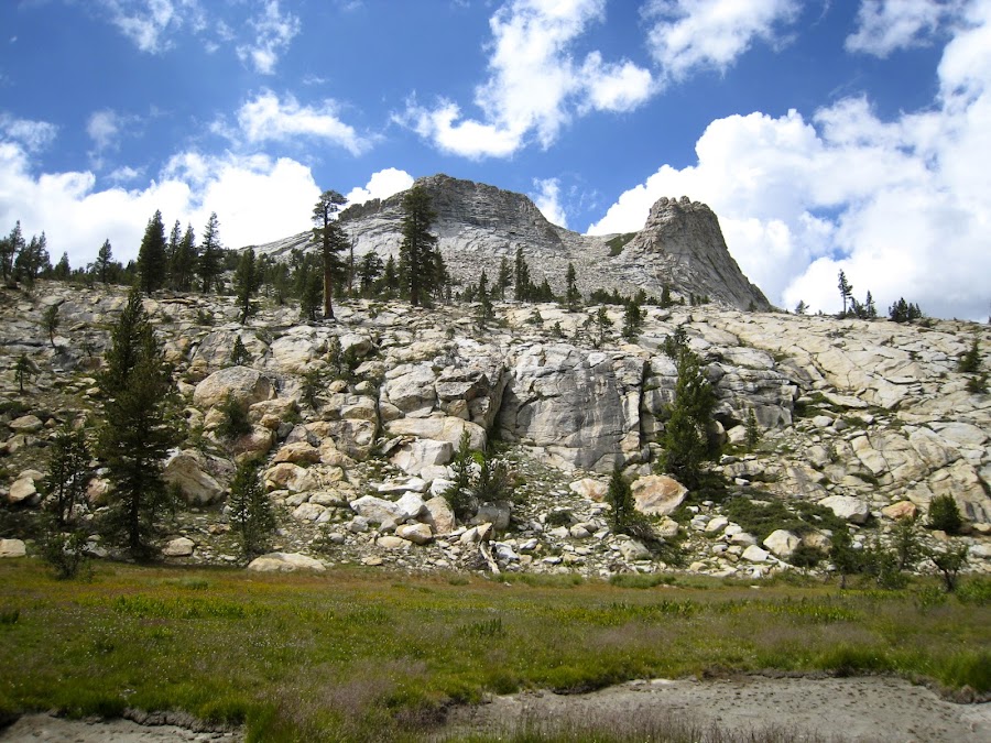
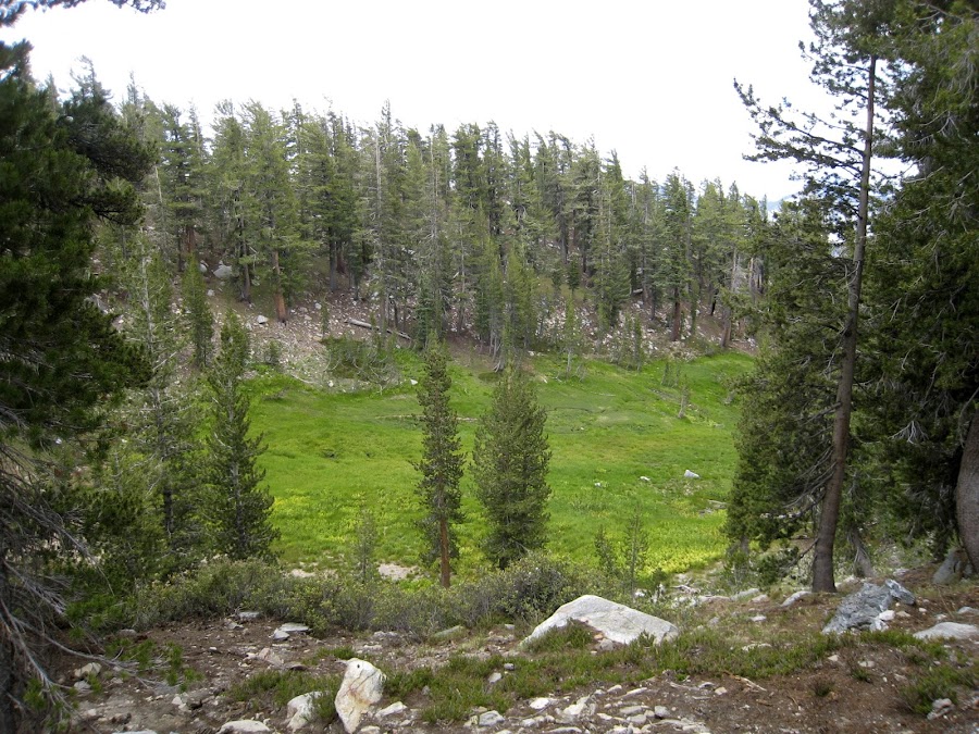
The nephews opted to stay by May Lake and hang out while I tried my best to get as far as I could get in the "time frame" we had allotted (don't ask. It was a mistake) I was not able to get to the top, but I did get far enough to see how incredibliy beautiful it was on the way up, and the types of views that I was starting to get were incredible. It is now a top priority to make it up there next time I'm in the park. I saw a family of baby marmots frolicking along a stream that wandered through a beautiful meadow. There was another green meadow in a clearing in a woods. It was really an incredible place. I have rebuked myself severely for not planning so that I (and the nephews) could have made it to the top.
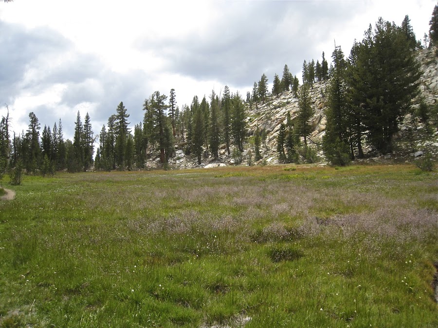
Back down, and totally enamored with this place, there is one last shot:
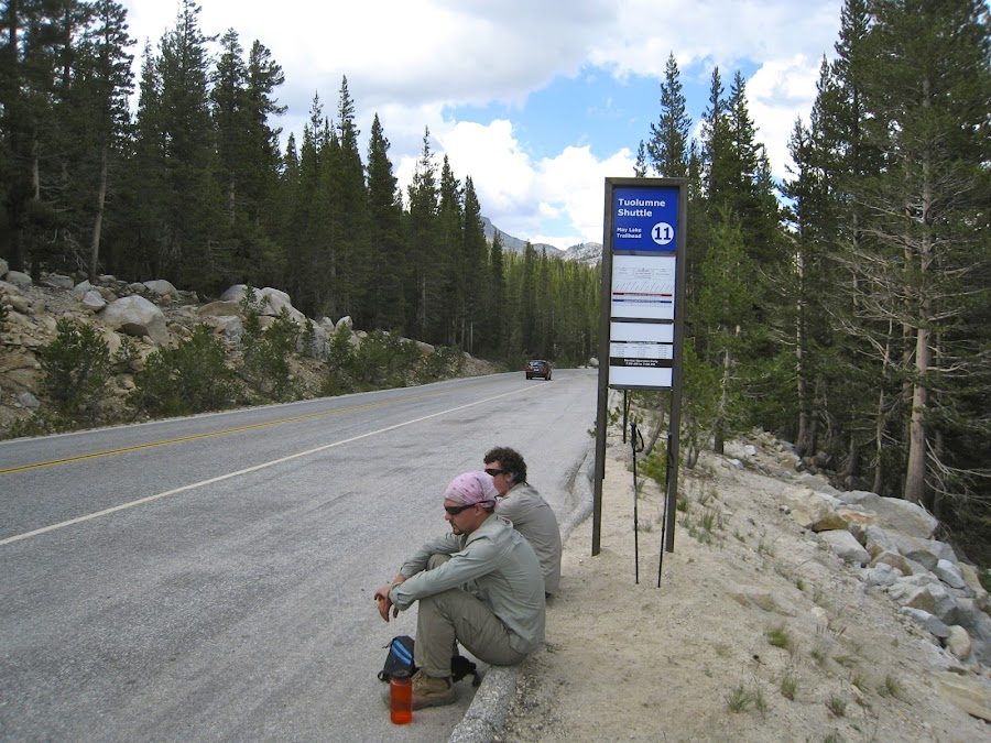
Once we were back at Tioga Road, we waited for the shuttle, which did not come. It just skipped entirely a whole scheduled stop. As a result, we did not get to avail ourselves of the Grill again, and instead bought ham and turkey, bread, etc and made sandwiches for dinner. While in TM for about 36 hours, we rode the shuttle a few times, but in three instances it did not come according to the schedule. I was really irritated by this as it could leave people stranded. It would be one thing if they did not publish a schedule or indicated that the schedule is not really a schedule but a tentative schedule. One time it did not come because they decided to go get gas. I guess when they get gas, there is no fill in. Then one guy just did not feel like driving, so he continued to rest wherever he was.
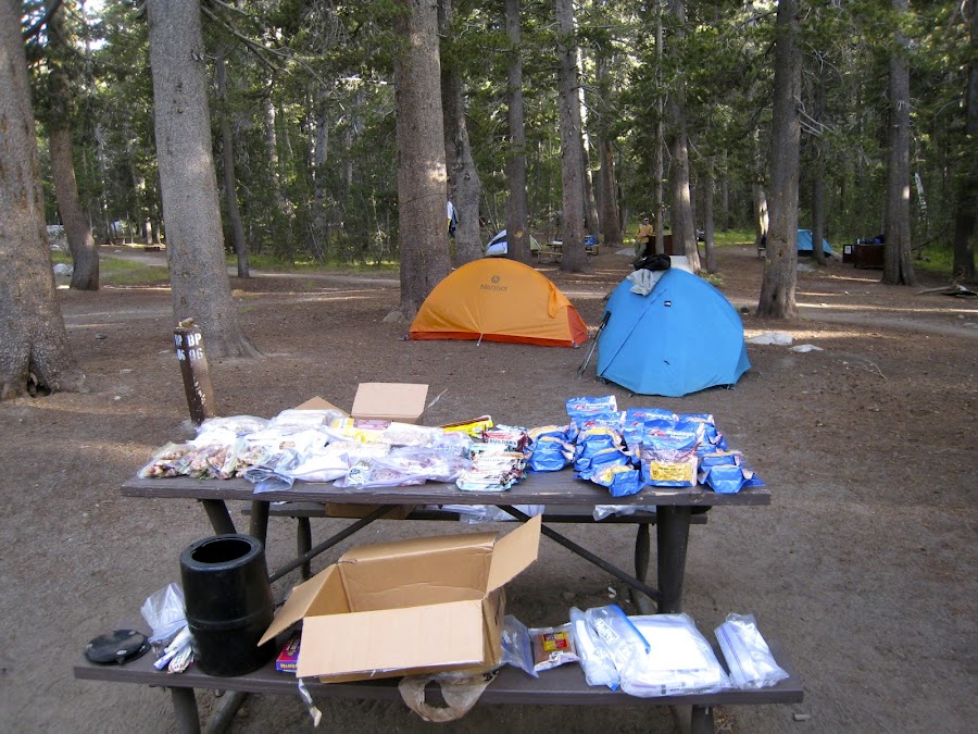
That night, we opened our food packages and sorted everything out and figure out how to get it in our bear cannisters, etc. I know some on here don't care for the freeze dried stuff like Mountain house, but we love it, and it simplifies planning, etc. If we lived close enough to backpack frequently, we would probably explore other options.
The next part of our trip will begin the next day and will last for 8 days as we hike North of Tioga Road. I hope to get to posting that soon.
Frank
Edited 3 time(s). Last edit at 02/18/2023 05:03PM by Frank.


 . However, looking at a topo map, it is clear that they are different landmarks. It actually looks like it would be a simple matter to walk on up to INdian Rock from the arch.

