Yosemite 2012 trip. Day 2: Cascade Creek to Yosemite Falls
2012 Yosemite Trip, Part 3 (days 3-5): YOsemite FAlls to Olmsted Point and May Lake
2012 Yosemite Trip, Part 4 (days 6-8); Tuolumne Meadows, Glen Aulin, Cold Canyon, Miller Lake, Matterhorn Canyon, Burro Pass
2012 Yosemite Trip, Part 5 (days 9 and 10): Slide Canyon; Mule Pass; Crown, Robinson, Peeler Lakes; Kerrick Canyon, Peeler Lake, Rodgers Lake
2012 Yosemite Trip, Part 6 (days 11-13): Rodgers Lake, Rodgers Meadow, Pate Valley Grand Canyon of the Tuolumne, Waterwheel Falls, Le Conte Falls, Tuolumne Meadows
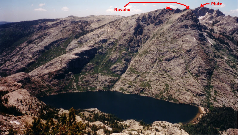
Aerial pics from plane of Northern Yosemite
Day 6: Tuolumne Meadows to Cold Canyon; Cold Canyon to Miller Lake, Miller Lake to Slide Canyon
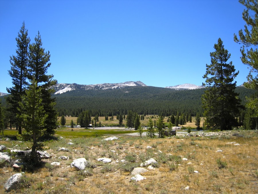
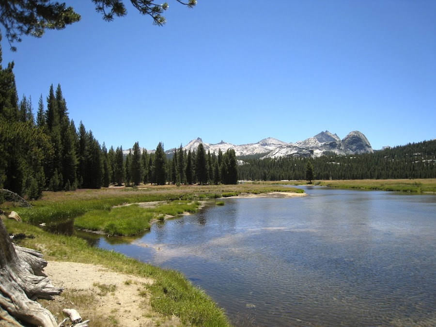
We hit the trail in TM towards Glen Aulin with our ultimate destination for the day being a meadow in Cold Canyon near Elbow Hill. I'm not sure exactly where we stopped (haven't explored the GPS tracks yet), but it was definitely near this spot. We had never been north of Tioga Road before in the park and so this promised new and completely unexplored territory for us. Looking back across Tuolumne Meadows was itself beautiful.
We came to the bridge across the Tuolumne just before the beginning of the cascades (?) / Falls of Tuolumne Falls. I'm not sure if the entire series of Falls / cascades from here to Glen Aulin are considered Tuolumne Falls or just some particular section of them.
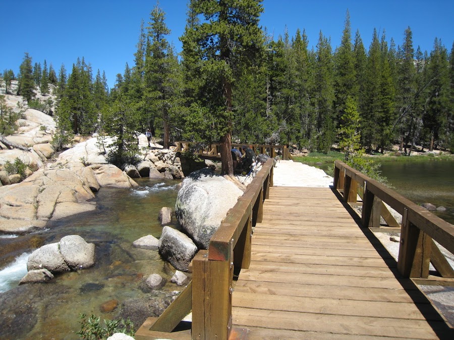
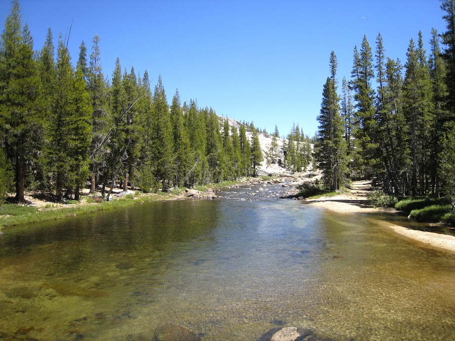
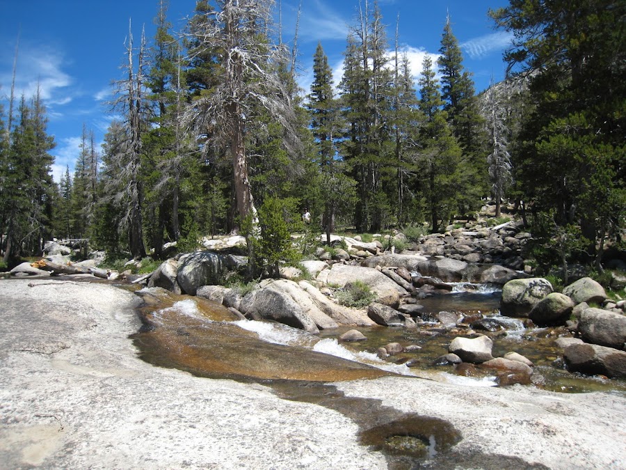
Upstream of the Bridge, the river is quiet.
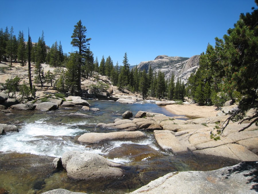
Downstream it begins a descent out of TM on a journey towards the Grand Canyon of the Tuolumne.
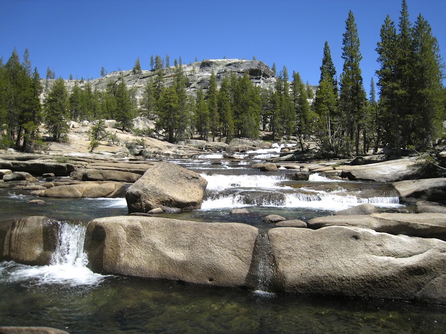
Additional views up and downstream from further down.
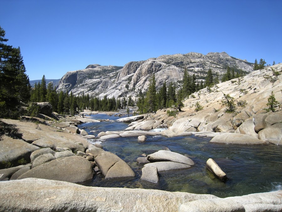
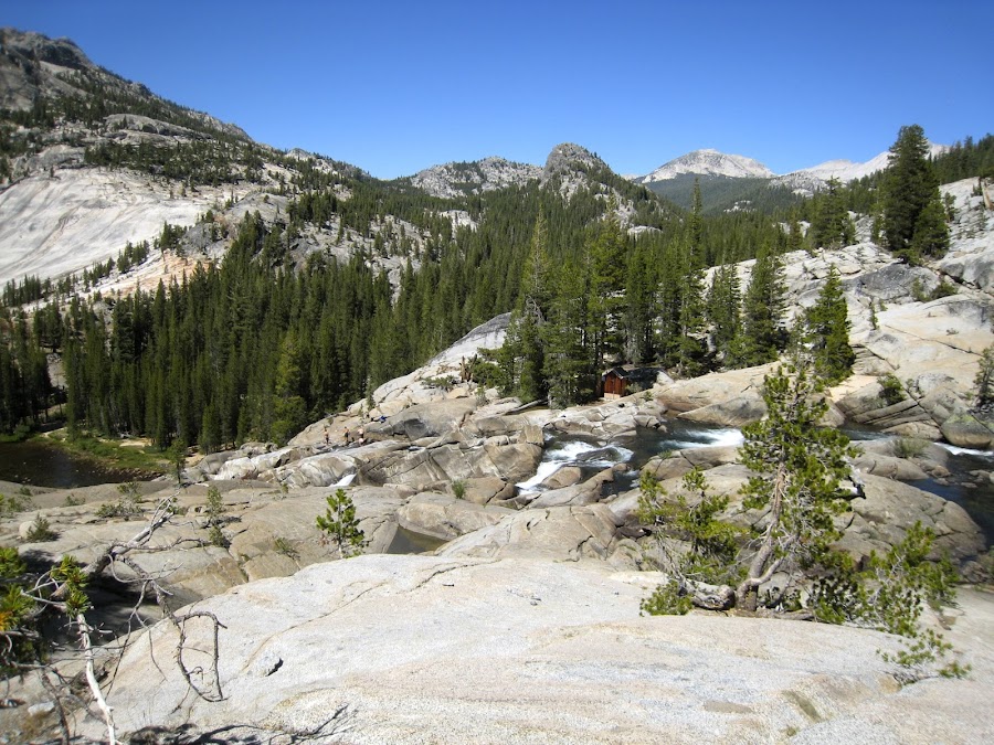
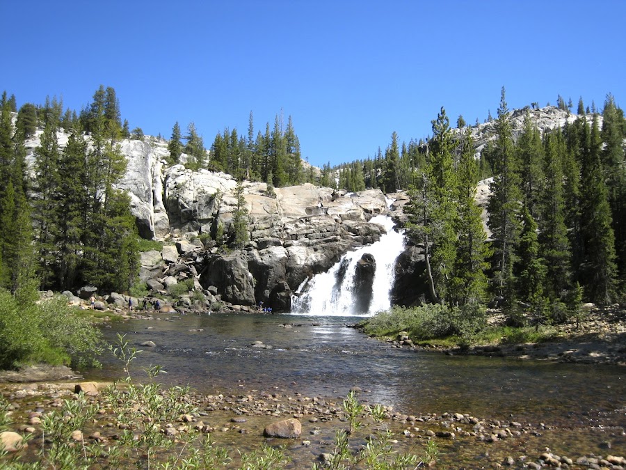
We arrive at a point just upstream from Glen Aulin which provides a great view both upstream of the falls and downstream of the final falls before Glen Aulin. The fun plunge of the river through this area made the hike very enjoyable and longer than perhaps it should have been as we stopped a lot to hang out and take it in. Of course, that is exactly what we should have been doing. As will be the case throughout the journey along the Tuolumne on this trip, I can never help but wonder what it would be like when the water level is at "normal" levels. It must be truly spectacular!
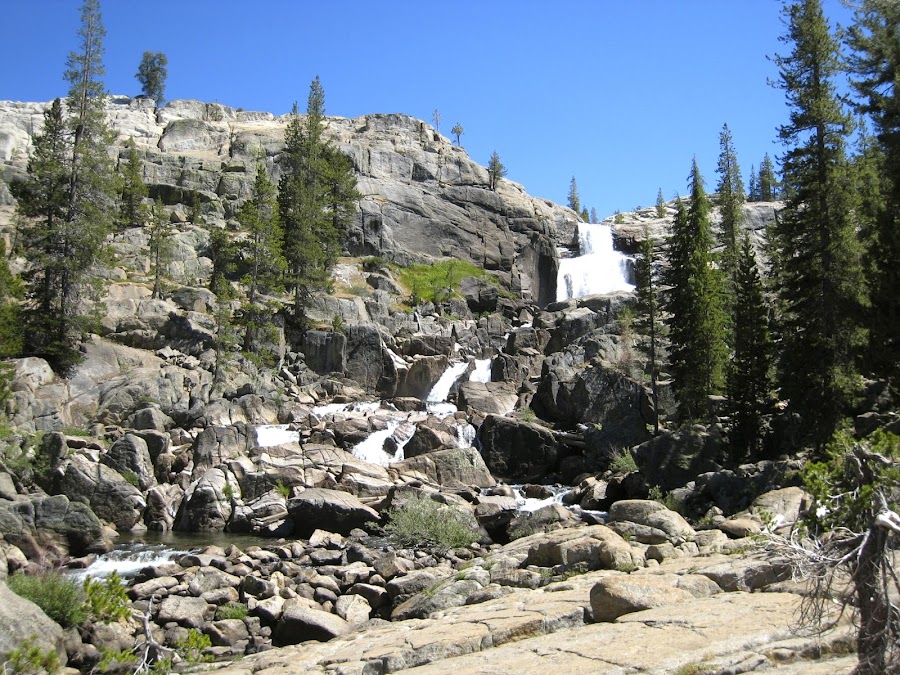
I have no idea what the little building is at the top of the final falls. It's a rather curious placement of a building. There were some kids up in that region sliding, it seemed, in the water, but I couldn't quite see from where I was standing the details of the area at the top of the falls they were "sliding" in. From where I stood, it seemed a little crazy.
The previous night in TM backpackers campground the campsite adjacent to ours was taken by a large group of boy scouts. One minute they were not there, and the next minute ( it seemed) it was tent city. They and their leaders provided entertainment for us until we departed the next day. The age of the boy scouts in this group was very wide. The dynamics of the whole thing was fascinating. The personalities of the leaders were also quite varied and observing the way they interacted with each other was also fascinating. I suppose it is required with such a group, but the level of regiment, scheduling, etc was intense. When they announced the previous evening that "blister clinic" would be at 7 AM at "that rock over there", I knew it was going to be interesting. In any case, they left TM before us heading, it turns out, in the same direction initially. So, it was funny when we arrived at this point on the Falls and saw all the people and realized, "That's our boy scouts!". They were everywhere having a great time! I can only imagine that these trips for them are life changing.
Boy scouts in blue shirts;
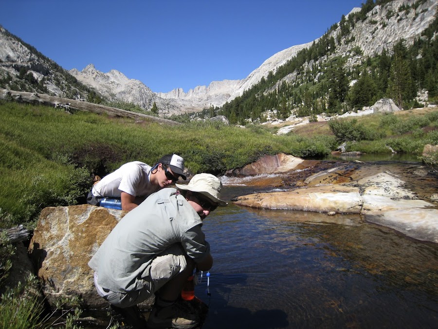
After resting a bit, eating, and filling up on water at Glen Aulin, we departed headed towards Cold Canyon. We asked the folks working there about the water levels in cold canyon and they really had no idea, so we filled up. It's a good thing we did. There was no water flowing in the creek at all. The only water was in isolated stagnant pools, which we decided to avoid. Our next water would be at Return Creek. The hike out of Glen Aulin was wooded for quite some time, and then it magically opened up into this great meadow. I love meadows. There is something magical and serene about them. In this case, we knew that we were close to where we would camp, and it was a good thing as light was growing dim.
That night, we thought to ourselves, "I know why they call it Cold Canyon". It was REALLY cold. The next morning when I poked my head out, I was frankly astonished: frost covered everything including my tent.
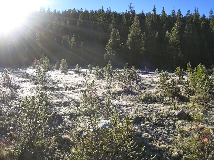
It was a beautiful morning in the Canyon:
We packed up and headed out, mindful that our next water was at Return Creek. On the descent to Return Creek, we had a strange encounter. First, we saw pack that was just dropped on the trail, but there was no person. We continued down a little more and there was another pac-like Item (can't remember exactly), also seeming dropped. Then a further along the trail we encountered a guy in his underwear who seemed somewhat incoherent and under the influence of something coming from the stream with a bottle of water. We tried to talk to him, but it was not really possible much. He was headed "out" to TM, but seemed to be lost. He said every time he headed up they trail it circled back around to where he is now. We promised him that heading UP will take him back to Glen Aulin and TM and then we departed. I"m not sure what we should have done, but the whole scenario was a bit awkward and the guy seemed unpredictable.
Here, the confluence of Return Creek and McCAbe Creek:
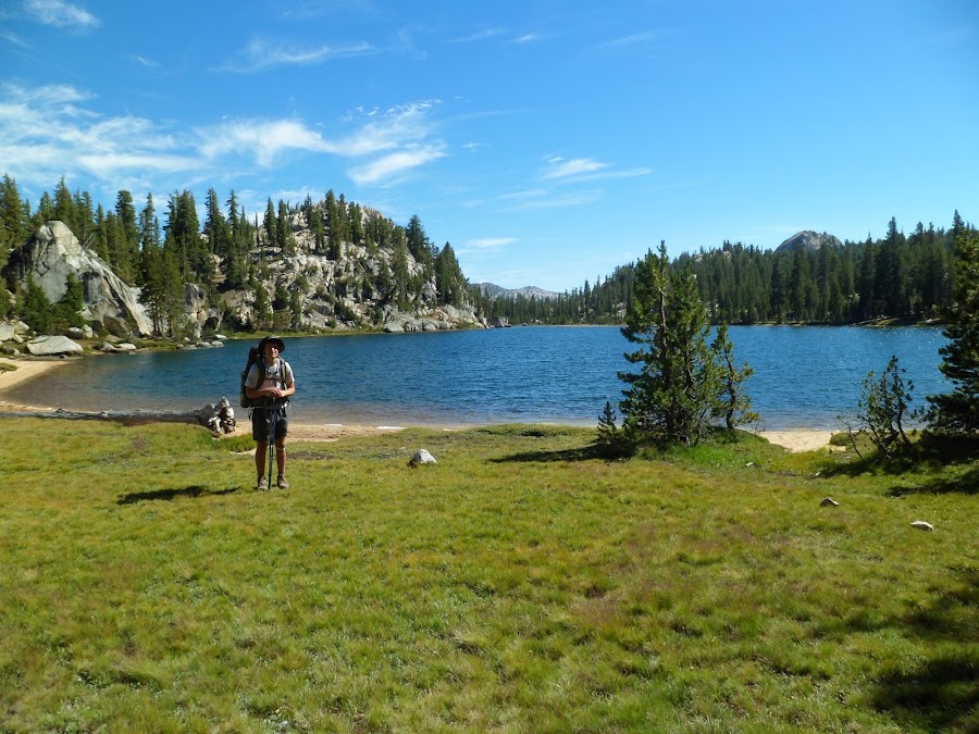
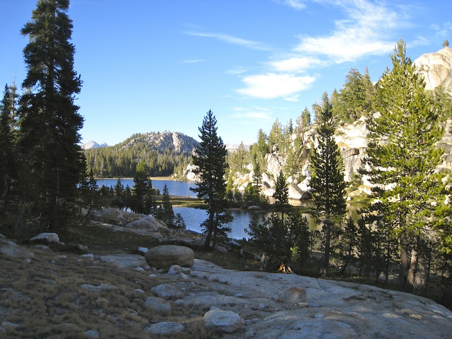
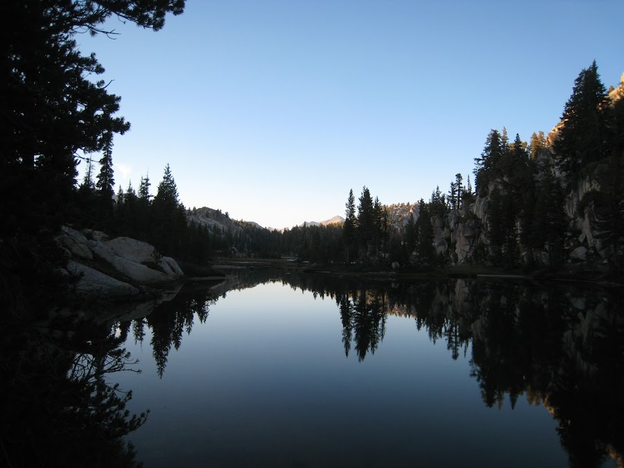
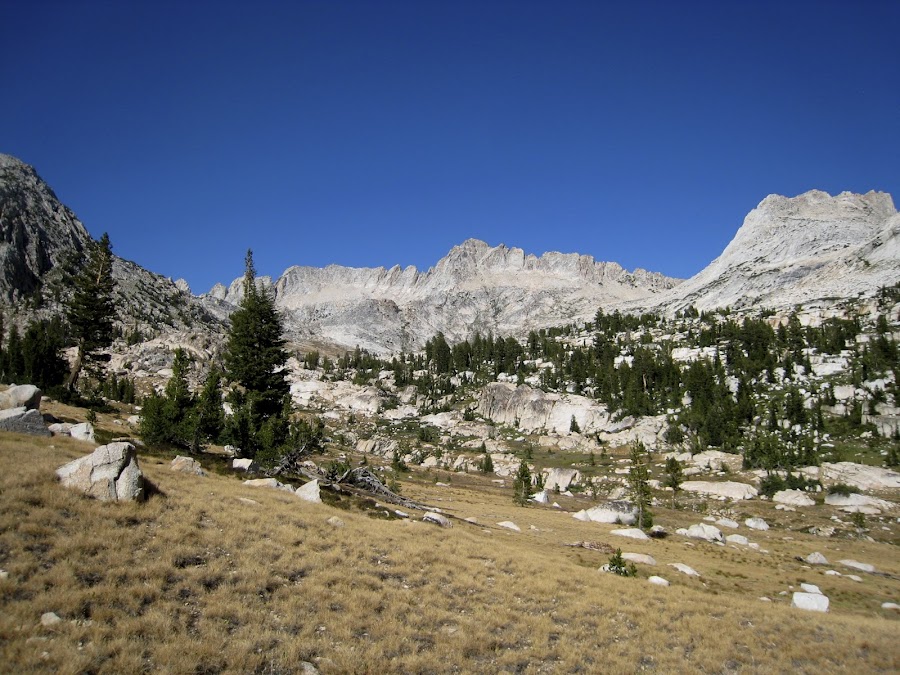
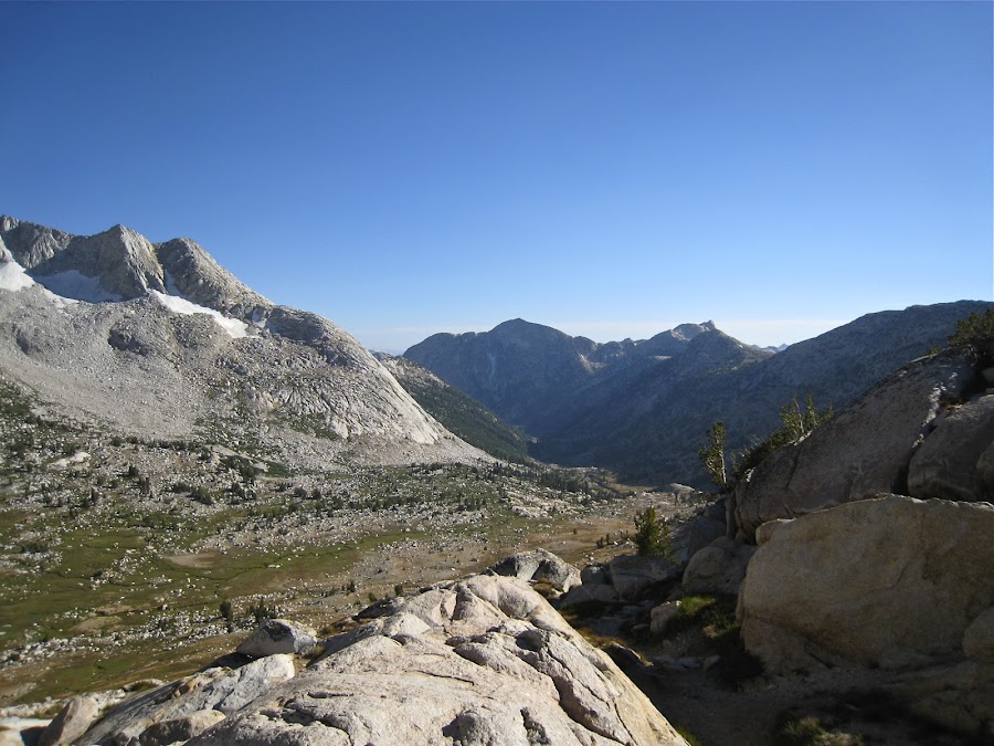
Originally we had planned to head over into Matterhorn Canyon for the night, but after talking to a couple other folks we passed, decided that Miller Lake would be a great stop. It was. It is a beautiful lake, with great campsites and views.
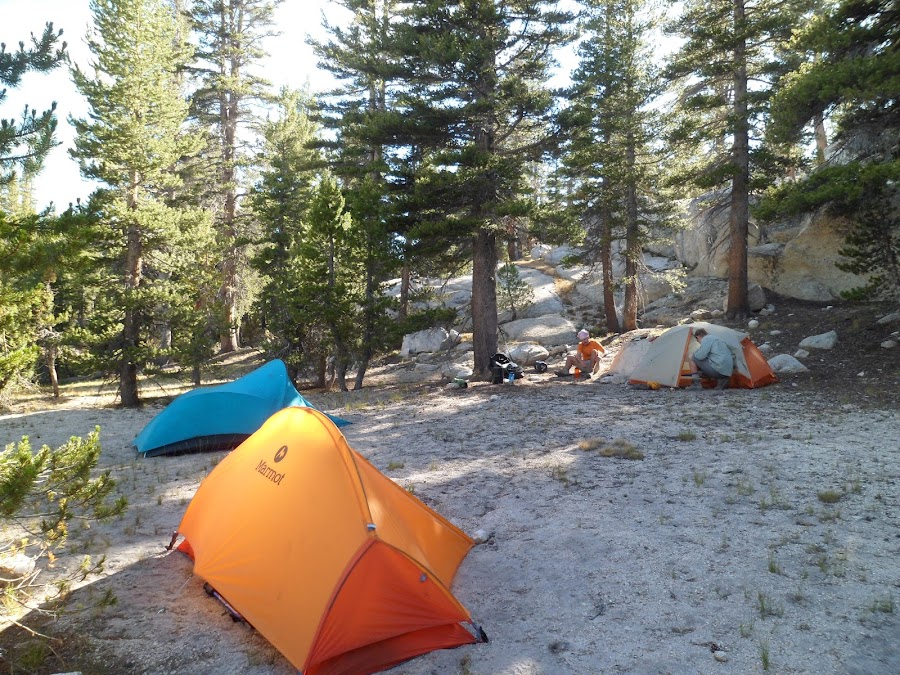
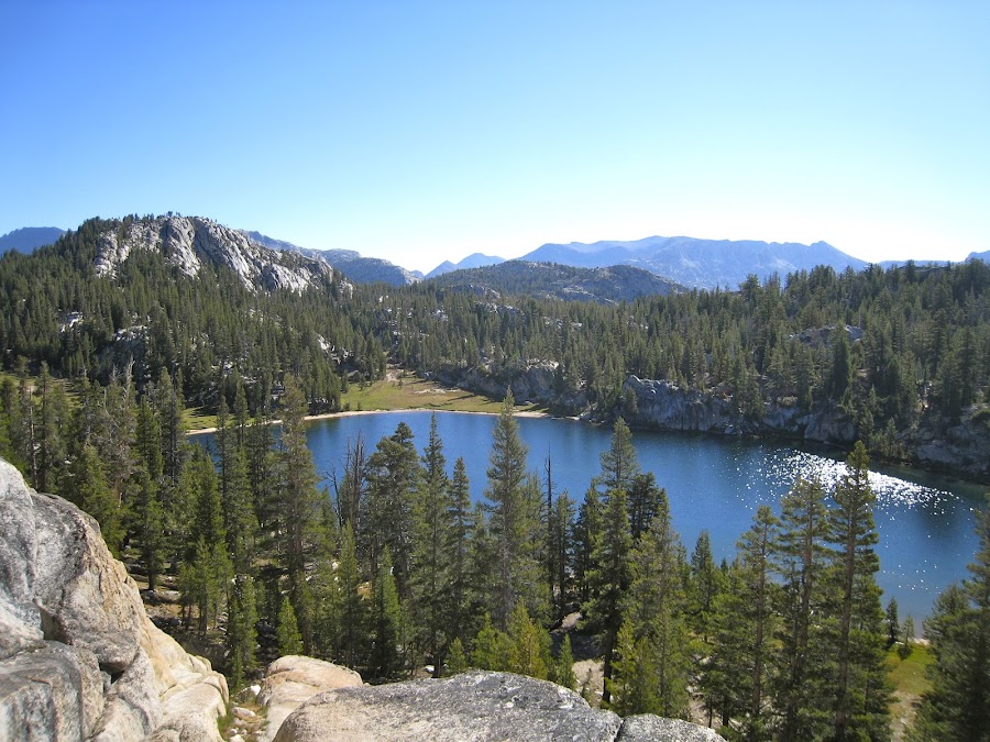
While we were setting up camp some guy came by who has been coming to Yosemite for many years, and asked us if we wanted to go with him to his "favorite spot" here which has great views. We told him we'd follow along in a few. And we did. It was a great spot! I'm not sure what I"m looking at in these pictures, but it is just east of where we were. The two photos are extensions of one another (one further north than the other).
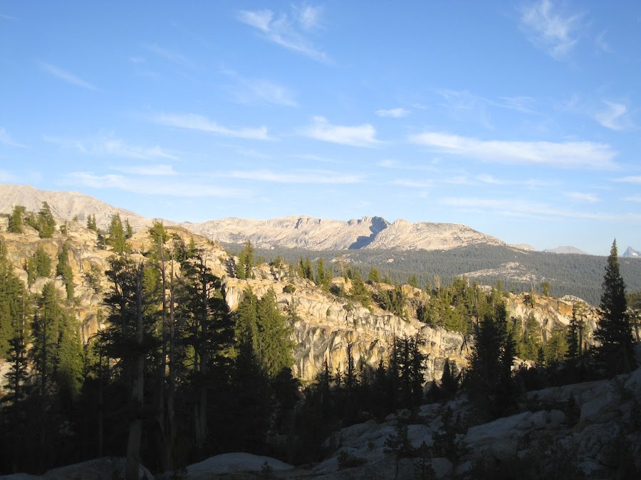
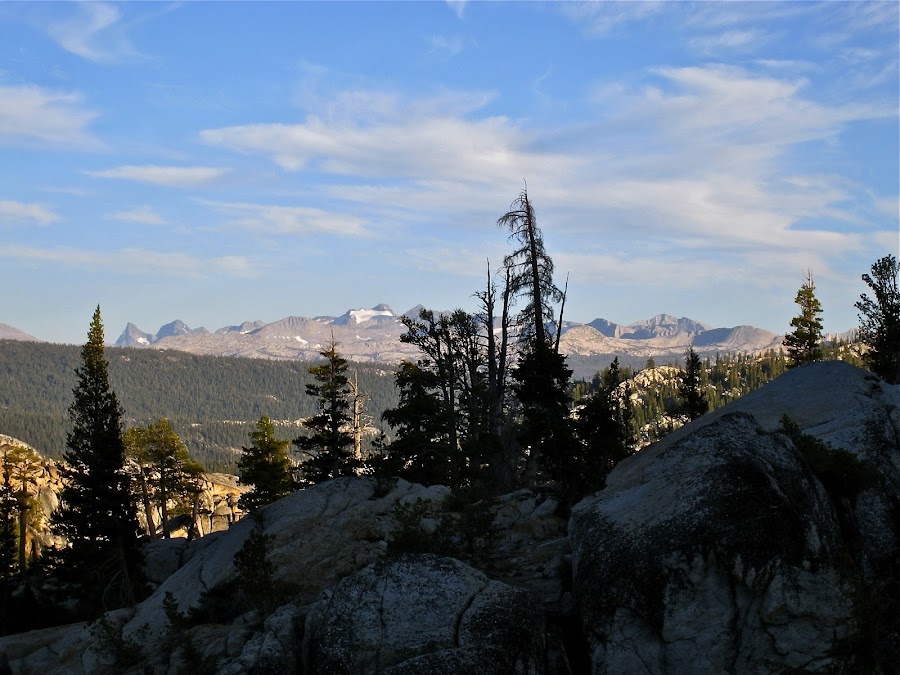
The next morning was beautiful (as were all mornings on this trip!). I climbed up some rocks behind the campsite to get a better view.
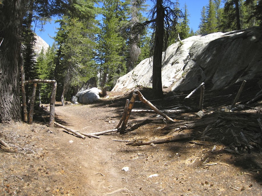
We packed up and headed out towards Matterhorn Canyon. Soon we encountered the remnants of a fence / gate. I don't really understand how this was used in the past. I'm guessing stock was kept in this area but it wasn't clear what the boundaries were or why.
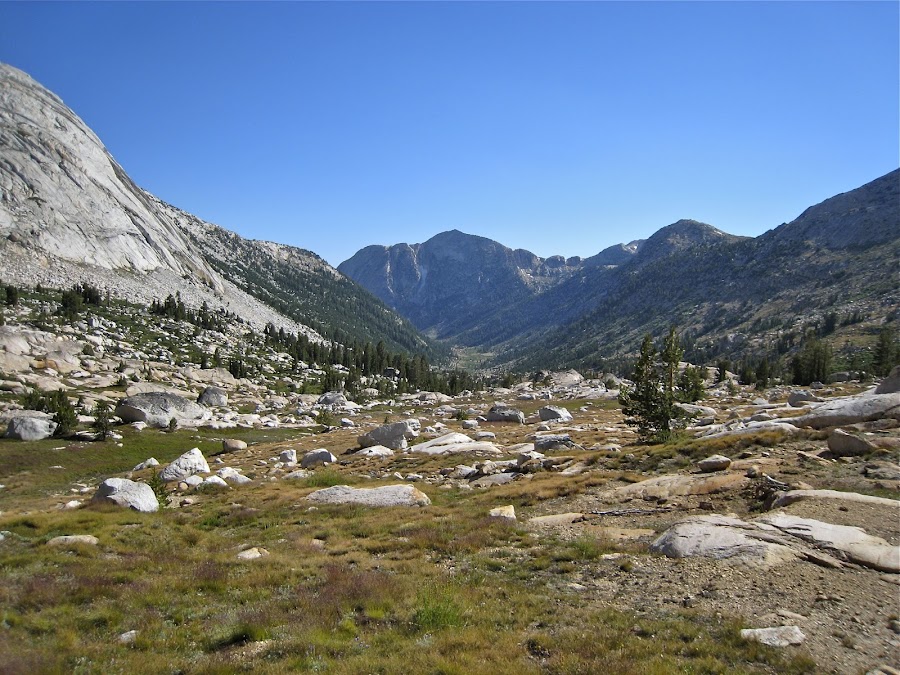
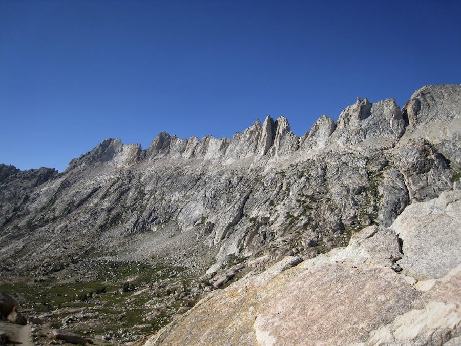
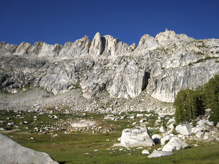
Matterhorn Canyon was STUNNING. The next two days are probably my favorites of the trip.
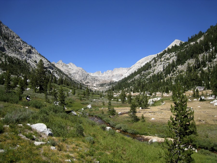
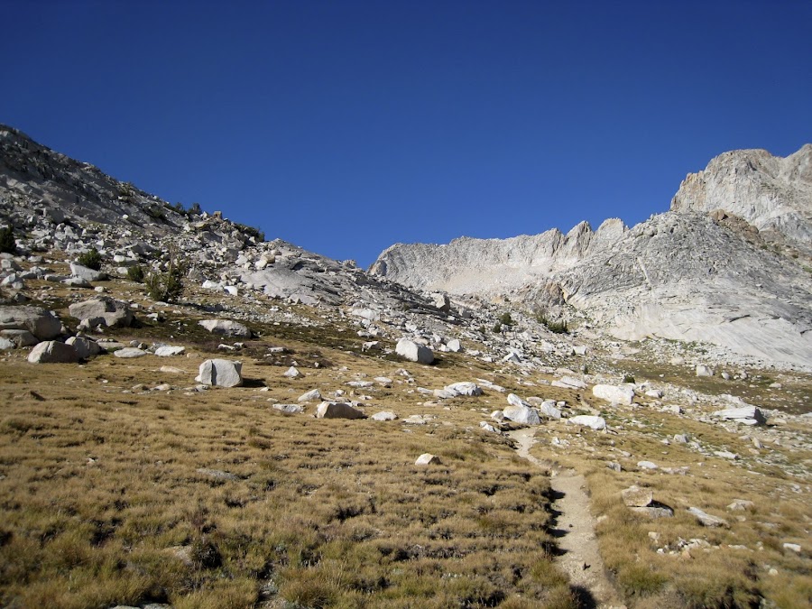
Somewhere along the way we passed an area where some folks appeared to have some sort of small, but longer term (longer than one night) camp. They had chairs and such. It was a cool little isolated area along the creek. It was also kinda odd to suddenly see several people when we hadn't seen any for some time. Heading up towards Burro Pass, the views are beautiful looking up and down canyon.
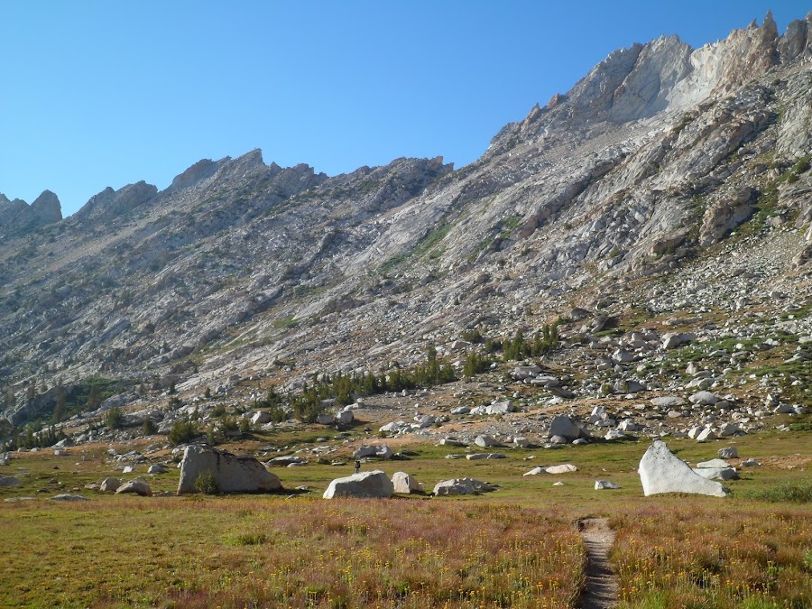
Finally we make it to Burro Pass and look off towards the other side. It's really beautiful up there. Just across the pass is a gorgeous Alpine Meadow (??).

We continued onwards anxious to find place that we had in mind to camp that night. Looking east, we see what I believe are the Finger Peaks.

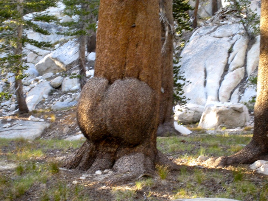
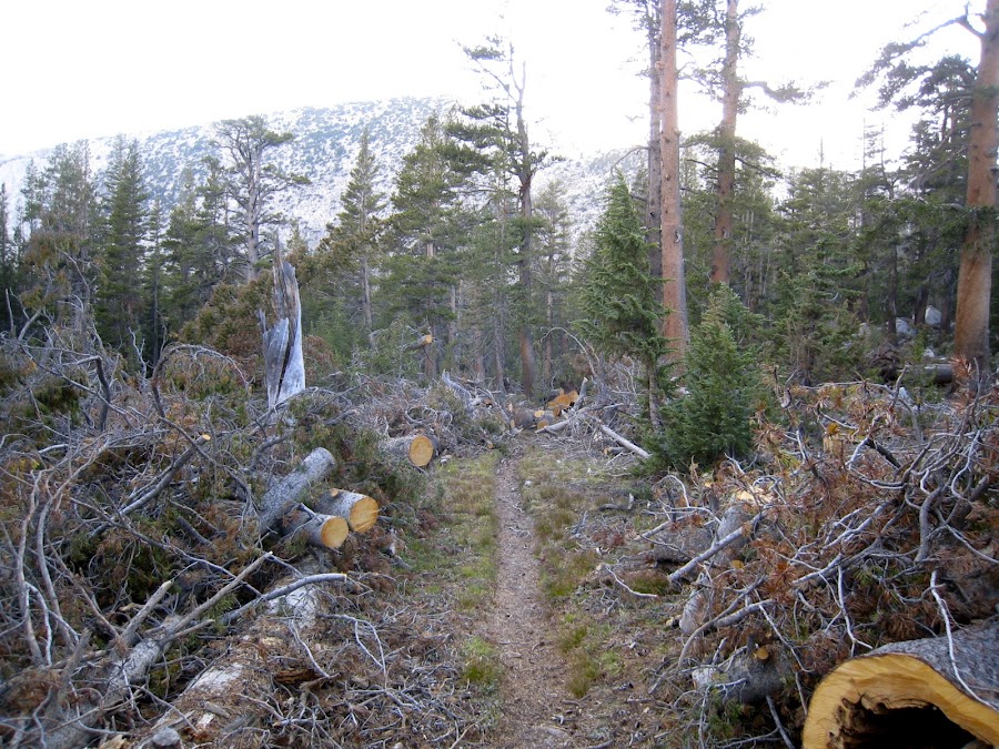
This journey through the woods revealed some big-butted trees as well as a large area of downed trees that was difficult to get through (some were too large to go over, so had to go around, and they were TALL).
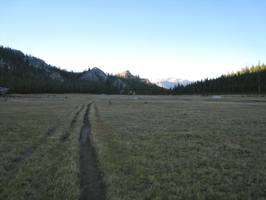
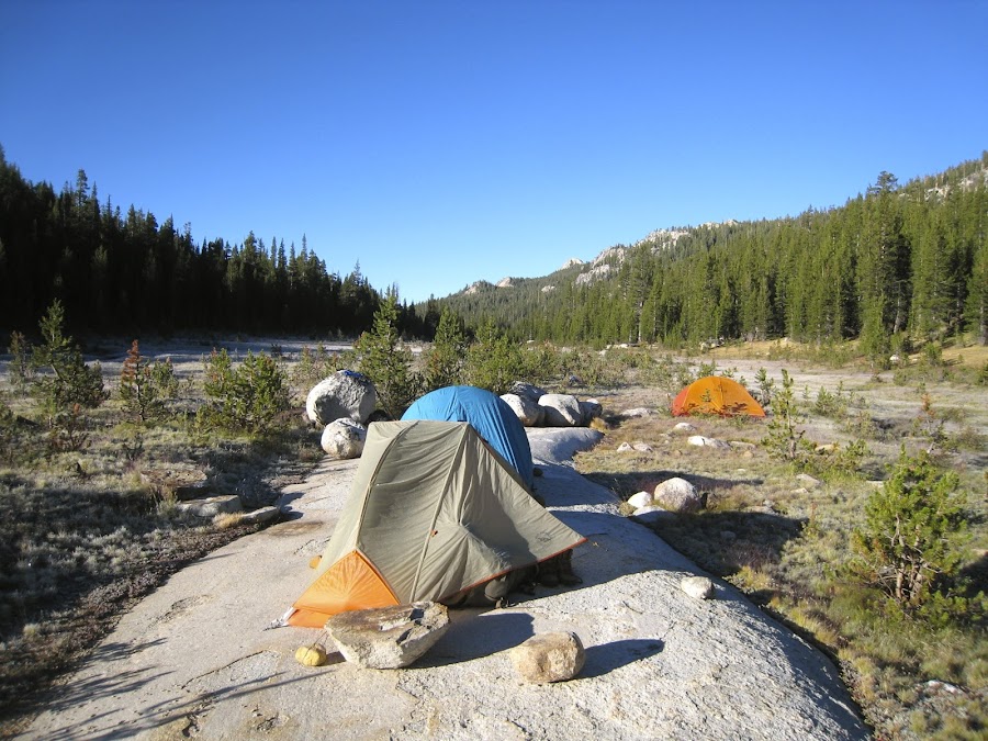
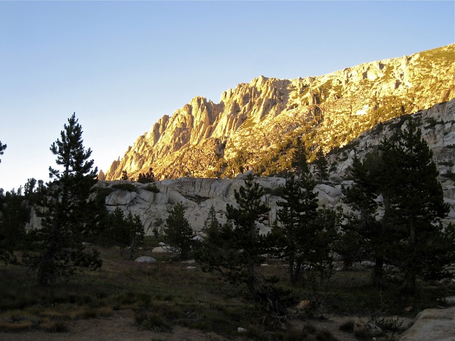
We were not sure exactly where we were going, but expected to find an open shelf with water adjacent, based on maps. Eventually, after heading back up, we came to a place that proved to be an awesome campsite. Water was available, though there was not very much in the stream and it was difficult to get to (required lowering water retrieval device on a rope and fishing for water). We could have explored further to find better access, but light was quickly leaving, the air was turning quite chilly and we needed to get camp setup. It was clear that this was a well-used camping area on this large granite shelf. Despite the altitude, there were numerous fire rings present. This picture is looking North in the last bits of light.
Edited 4 time(s). Last edit at 02/19/2023 03:41PM by Frank.