Yosemite 2012 trip. Day 2: Cascade Creek to Yosemite Falls
2012 Yosemite Trip, Part 3 (days 3-5): YOsemite FAlls to Olmsted Point and May Lake
2012 Yosemite Trip, Part 4 (days 6-8); Tuolumne Meadows, Glen Aulin, Cold Canyon, Miller Lake, Matterhorn Canyon, Burro Pass
2012 Yosemite Trip, Part 5 (days 9 and 10): Slide Canyon; Mule Pass; Crown, Robinson, Peeler Lakes; Kerrick Canyon, Peeler Lake, Rogders Lake
2012 Yosemite Trip, Part 6 (days 11-13): Rodgers Lake, Rodgers Meadow, Pate Valley Grand Canyon of the Tuolumne, Waterwheel Falls, Le Conte Falls, Tuolumne Meadows
Aerial pics from plane of Northern Yosemite
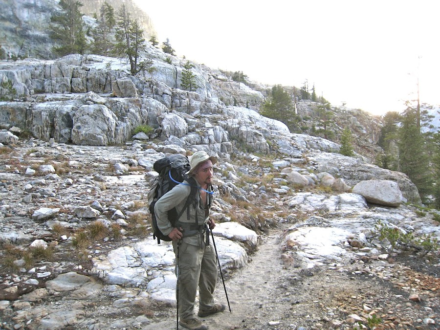
Day 9
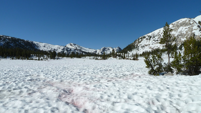
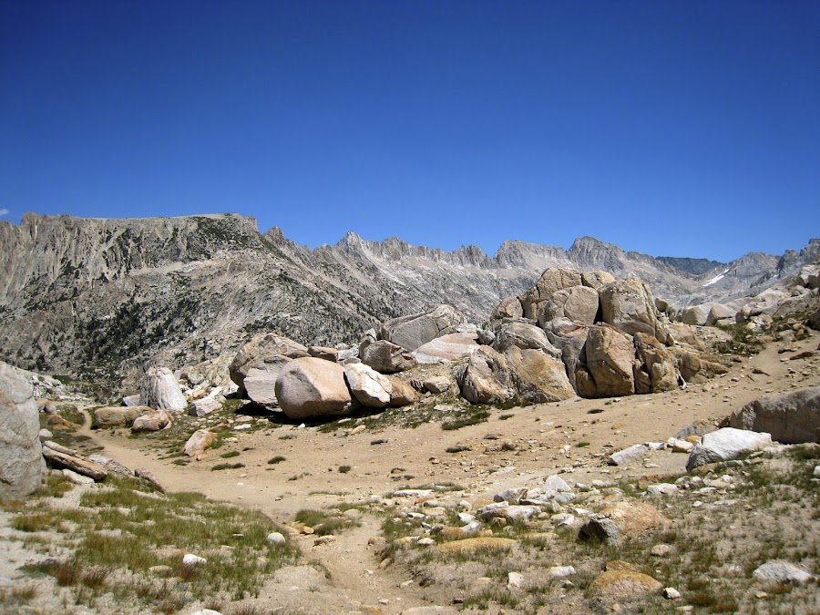
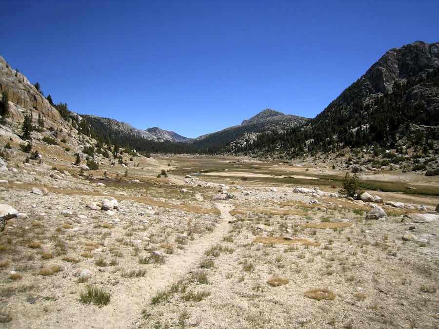
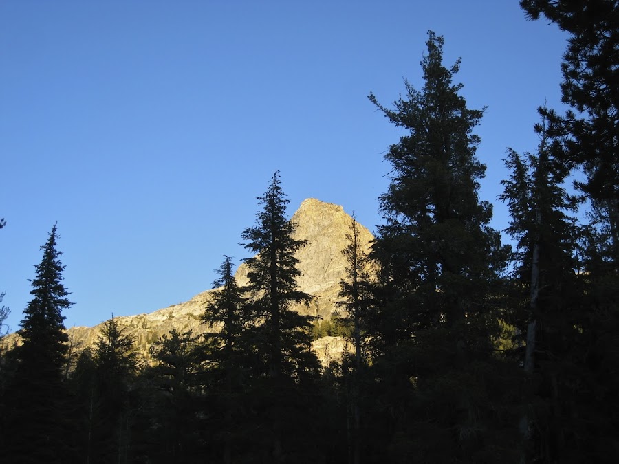
MOrning Dawned and we had quite a view of Slide Canyon and the 'Slide". It is very impressive.
We departed with our next stop being Mule Pass. This area is beautiful.
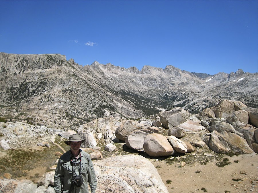
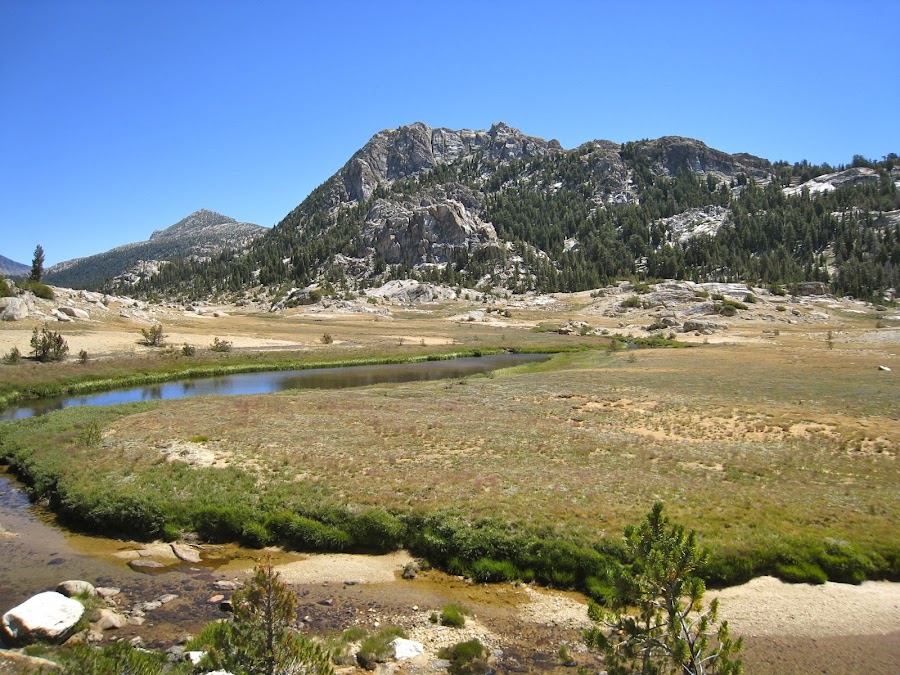
I believe that this is atop Mule Pass looking East and the next looking west.
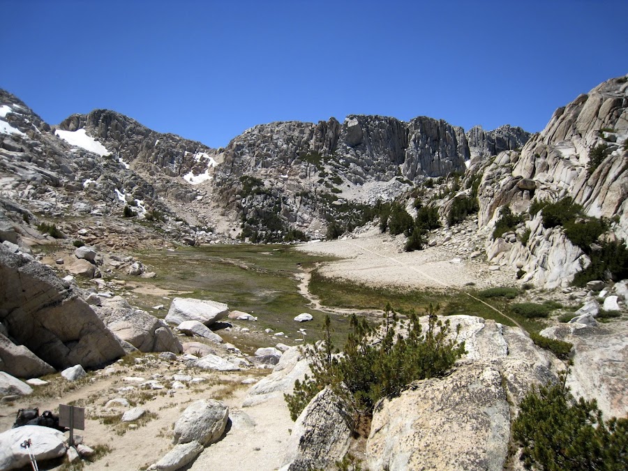
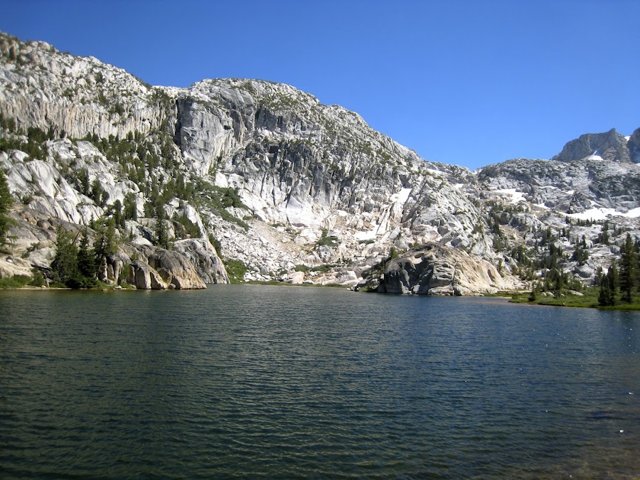
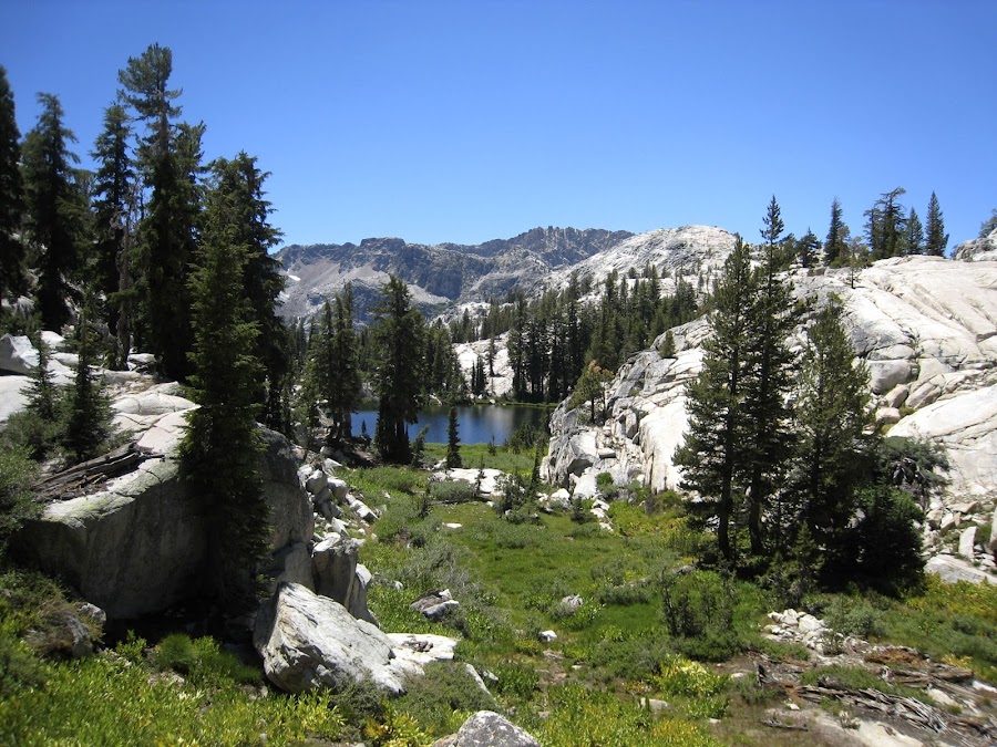
The above pic is in Hoover Wilderness. Once over the pass you leave Yosemite. This loop outside of Yosemite past Crown, Robinson and Peeler Lakes is awesome. I am so grateful Chickon recommended this instead of the shorter path into Kerrick Canyon. This is Crown Lake in the next two pics.
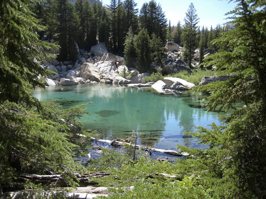
The next two are Robinson Lakes, and the third is a small unnamed tarn with a beautiful blue color in the vicinity of the Robinson Lakes.
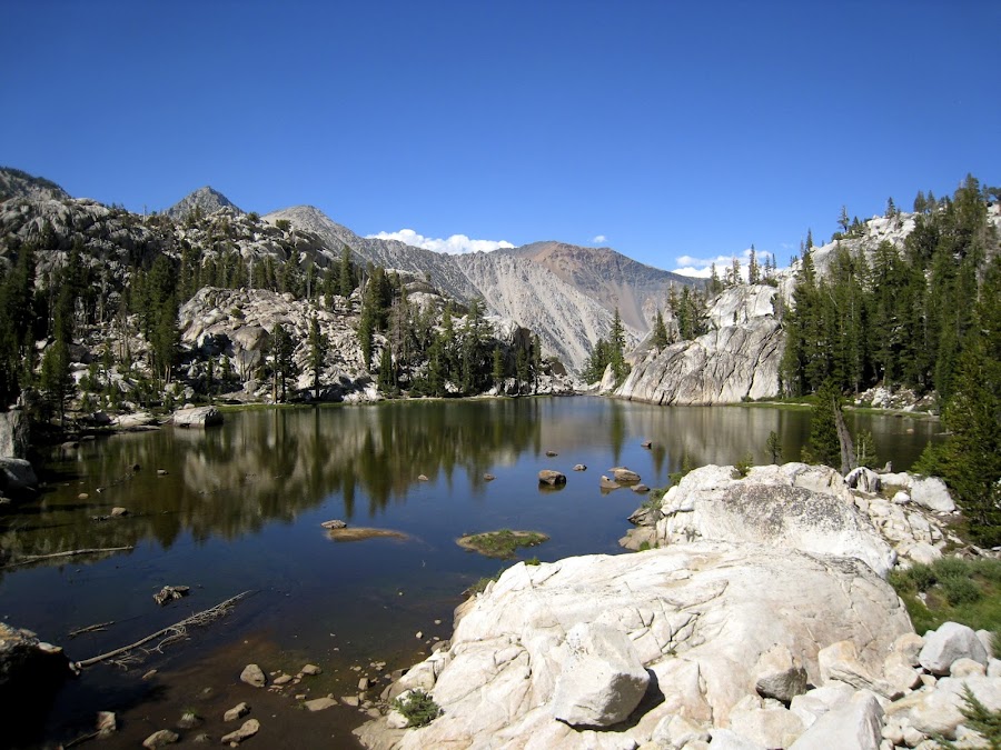
And maybe these are Robinson Lakes as well.
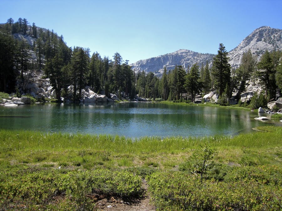
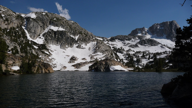
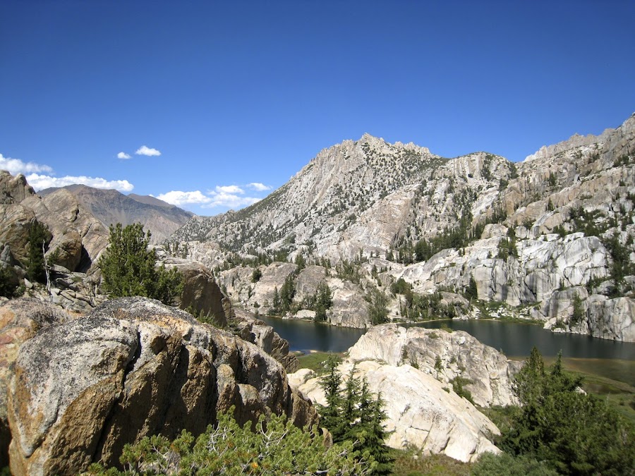
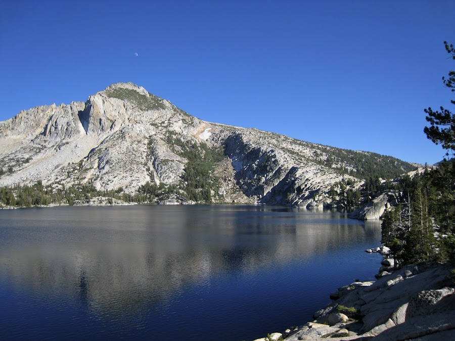
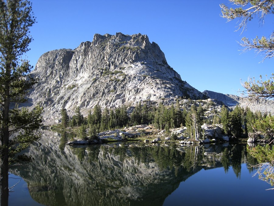
Peeler Lake was incredibly beautiful.
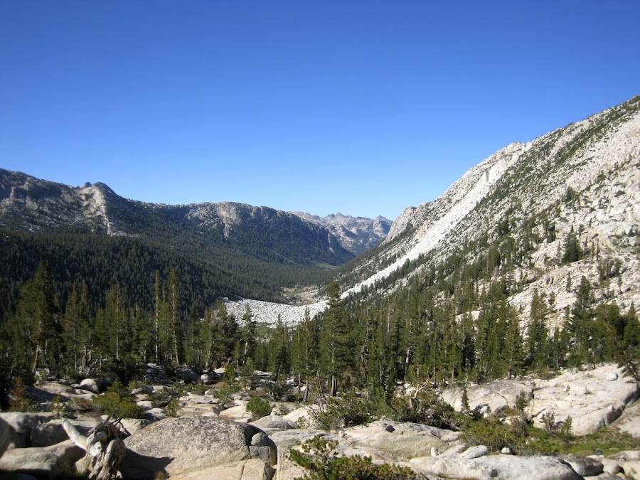
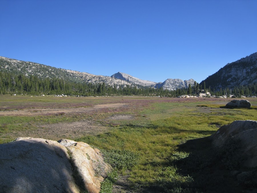
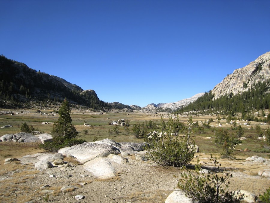
From there we re-entered Yosemite and found ourselves in the amazing Kerrick Meadow and Canyon.
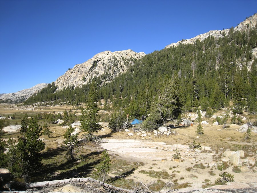
The previous pic was made from where we camped that night, also shown here.
There was running water in Rancheria Creek here in this canyon, though not much.
We pack up and head down-canyon towards Seavey Pass. On the way we are treated to this jewel. I am wondering if this is Arndt Lake. (I have since learned from a couple folks that this is not Arndt, which is well off trail, but rather it is the first of the Seavey "lakes" one encounters headed south after beginning the ascent to Seavey Pass. In any case, it is beautiful!
For some reason the Seavey Pass section of this hike seemed like it went on forever. I wasn't quite sure where the pass was, but looking back at the map, it appears that it was early in the section that went up and around before heading back down to Benson Lake. It felt like I was going in circles at times. We finally made it to Benson Lake. Once in the flat, wooded area at the based of the descent, passage was tough as there were tons of trees down, many of which had not yet been trimmed back. I'm not sure if there is a plan to, but it was an amazing amount of trees down. When we saw Benson, we knew we had to get in it, and we did just that.
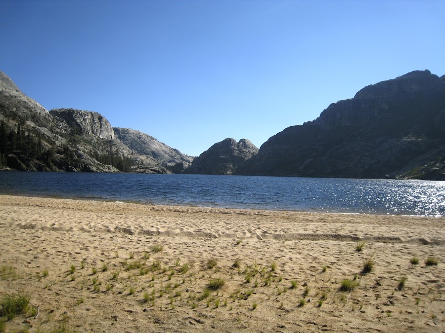
Benson seems completely out of place, with its deep blue water and wide white-sanded beach. We weren't quite sure what to expect though, as we had heard word from some other rangers that a group of rangers were using mules to haul in major food, drink, party and camping equipment for a large scale encampment. We saw no evidence of such. We did run into a physician who was ostensibly planning to scramble up to the top of Piute Mountain from Benson Lake after he had finished sunbathing au naturel. Not sure if he did or not. We on the other hand were planning to make it to Rogers Lake. It was getting to be late in the afternoon, and when we told this guy our plans he looked at us a bit questioningly. That should have been sufficient for us to modify our plans, but we did not. We had another 2000 feet of elevation to gain, and so we set out. We had been told that there was a flat spot near a creek crossing on the way up which would be the last chance to camp. When we got there, we thought seriously about it, but soldiered on. For one thing, one of us had gone on ahead and we had not seem him in 2-3 hours, which was unusual. We (who were lagging behind) could not imagine the source of energy that was propelling him forward at such speed when we were just about out of gas completely. Along the way, Volunteer Peek teased and taunted.
This look by one of the nephews pretty much sums it up.
We actually grew a bit worried as we continued to not meet my other nephew and darkness was quickly falling. Finally, we met him at a trail junction, and in the moonlit twilight we continued onwards. Finally, we had to put on the headlamps as it became completely dark well before we headed up the turnoff to cross over and down towards Rodgers Lake. When we got to Rodgers Lake, it was so dark we could not see any lake at all. WE felt around until we found something we thought was a suitable campsite. We discovered the water we got to filter was filled with visible living things. This was the first time we had seen these things and are not sure what they were. AT this point we had switched to our Steri-pen, and there was some concern as to whether the Steri-pen would work on things this large. (They were small, but visible). Our efforts at pre-filtering did not remove these critters. Whatever they were, we survived. It wasn't until the next morning that we saw Rodgers Lake for the first time.
Edited 4 time(s). Last edit at 02/13/2013 10:37PM by Frank.