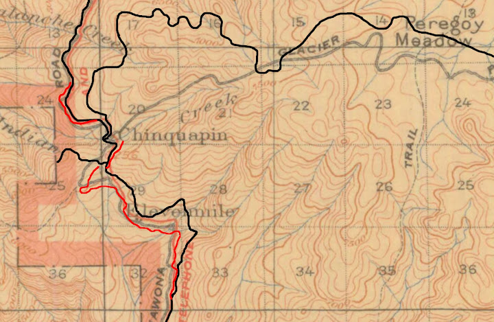
or if you prefer
https://lh3.googleusercontent.com/-8-i37e1gCBk/UIlU8b5sHpI/AAAAAAAAAK0/QYHzZEYMRhs/s1600/WR-1920-Overlay.jpg
Here's the actual GPS route of the old road from where SF Merced River trail hits the old road all the
way down to Wawona Campground:

or to zoom:
https://lh4.googleusercontent.com/-a9c5xnkmllo/UTdiRCJ4ZUI/AAAAAAAACLI/YIYtY2GlKgs/s1600/OldWawona-Alder.jpg
The abutment across Alder is very interesting and there is a LOT of rockwork along the way. Fairly clear sailing...
but if you look closely you'll quickly realize that I removed some of the tracks leading to the road..
As mentioned in the past... the SF Merced Trail follows the old road for a bit to the north before diving off it ... have not followed
the north section.. but with this section and it's beauty... def. it is an endeavor that must be done (well.. I gotta see it)
Take a good look at this view from the helipad along Wawona Rd:
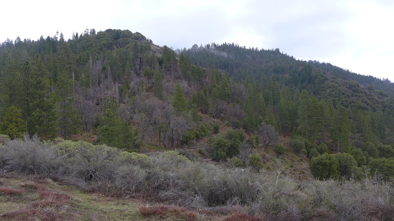
or bigger:
https://lh4.googleusercontent.com/-rpG0OdvOPlY/UTdjErp6LII/AAAAAAAACLQ/HDw6pbbof1o/s1600/P1110554.JPG
Don't worry... I'll post some pictures of the road itself.


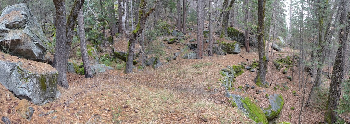

 Can't post too much of this stuff for me! Would love to see some pictures of what it looks like getting to the old road from the new.
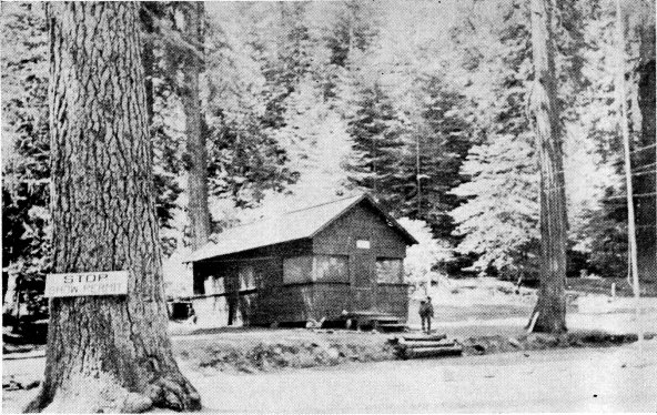

 ). I would also appreciate a link to your photo set if you don't mind. I thought you knew that I was very much interested in the old road of Yosemite too. (Though I think it might just be the four of us: you, me, David, and Wherever.)