Welcome! Log In Create A New Profile Recent Posts
Tenaya Lake, Yosemite National Park

The Moon is Waxing Gibbous (80% of Full)

Rocketlawyer.com


Advanced

Mapping the Four Mile Trail

All posts are those of the individual authors and the owner of this site does not endorse them. Content should be considered opinion and not fact until verified independently.

avatar Mapping the Four Mile Trail
January 19, 2016 09:56PM
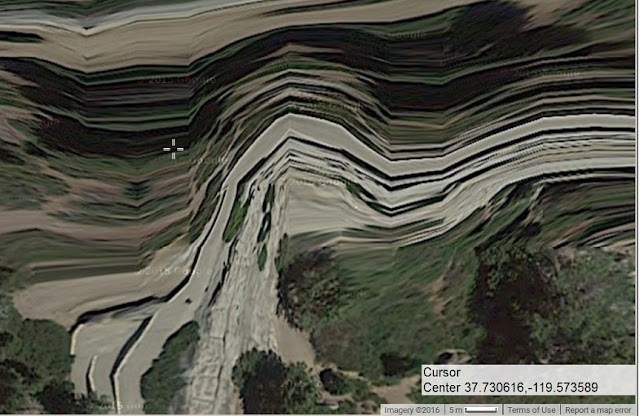
I've mentioned a few times now, that I've been working on surveying and mapping the Four Mile Trail without a GPS.
Now I've managed to generate a set of data points for part of the trail and get my "track" to open in Gmap4. Here's the link to what I have so far:

http://www.mappingsupport.com/p/gmap4.php?ll=37.732832,-119.587655&z=15&t=s&tilt=off&q=https://sites.google.com/site/fourmiletraildata/MappingTest160119a.txt

I'll be extending the "track" and tinkering with my data points to make them fit the satellite view better. I've known since 2011 that the topo map representation of the trail has significant inaccuracies in it -- for instance way too few switchbacks are shown, and the location and shape of the southernmost switchback, the one I call "B6", are off. In other places (such as Glacier Point and Columbia Rock), I know that the satellite views are a little out of register with the topo maps.

Has anyone noticed Google's pathetic attempt at drawing the Four Mile Trail into their Street Map view? It's even sillier because they actually have access to much better data than that. With "Street View" turned on, the blue line that shows where ground-level views are available is actually a pretty good fit with my track.
avatar Re: Mapping the Four Mile Trail
January 29, 2016 05:07PM
Update: The data file that I just uploaded covers about 1/3 of the trail. I'm still tweaking the last few switchbacks in that stretch, but otherwise I'm pretty well satisfied with what I have. Here's the latest map link:

http://www.mappingsupport.com/p/gmap4.php?ll=37.732832,-119.587655&z=15&t=s&tilt=off&q=https://sites.google.com/site/fourmiletraildata/MappingTest160129a.txt

I'll be adding more data points, working up the trail from there.

Meanwhile, here's the other half of my Four Mile Trail mapping project. I call this the "Red Zigzag" view:


The reason the picture "frame" slants is because I didn't have the camera quite level so I rotated the image in Photoshop to level it.

Here are some more detailed views. The upper trail, from about Union Point up:


The upper middle, from about 5300 feet to just below Union Point:


The lower middle, from about 4800 to 5500 feet:


And the lower trail, with Southside Drive in the bottom right corner:


All the "detail" images are cropped from the wide-angle view that I posted first. Unfortunately the camera that I used isn't very sharp at extreme wide angle so none of the blowups are, either. Someday I may retake that pic with a better camera (that I have yet to find) or plot "red zigzags" onto other, clearer pictures that I already have.


Edited 1 time(s). Last edit at 01/31/2016 03:18PM by gophersnake.
avatar Re: Mapping the Four Mile Trail
February 01, 2016 01:25PM
Cool to see where the trail is going from that view. Thanks for posting.
avatar Re: Mapping the Four Mile Trail
February 01, 2016 04:54PM
Wow, nice work!
avatar Re: Mapping the Four Mile Trail
February 07, 2016 08:01PM
Thank you kindly, folks! cool smiley

My latest "draft" version looks pretty good so I'll share the link: http://www.mappingsupport.com/p/gmap4.php?ll=37.732832,-119.587655&z=15&t=s&tilt=off&q=https://sites.google.com/site/fourmiletraildata/MappingTest160208a.txt

On the first 26 switchbacks I've curved the line to represent approximately the shape of the switchback. I haven't done that yet on the last 15, so the track just comes to a point there and zigzags on.

I'm trying to make my track fit visually with the Googe satellite view. In other words, wherever a bit of trail is visible in the satellite image, I make the line run through it. That means, if the latitude-longitude readout for a given point ...


...is in error, my track through that point will be off by the same amount. I've already noticed discrepancies at some locations such as Columbia Rock and Glacier Point and I'm pretty sure those aren't the only ones. What I think is happening is that the satellite wasn't directly overhead when the pictures were taken. Google's software tried to distort the picture to compensate for elevation differences and make it look like a straight-down view but the results were better in some places than in others. Here's the Google-eye-view of Glacier Point. The "crosshairs" mark where the benchmark is supposed to be located. tongue sticking out smiley


Edited 1 time(s). Last edit at 02/08/2016 01:01AM by gophersnake.
avatar Re: Mapping the Four Mile Trail
February 08, 2016 12:30PM
And here's the Google satellite view of Columbia Rock. Again, the white crosshairs show the latitude and longitude where the benchmark is supposed to be. The red X shows my guess of where it would be in that image.

Update: this newer picture shows a much-improved guess after taking another look at the area on 5/26/17.


Edited 2 time(s). Last edit at 05/29/2017 02:22PM by gophersnake.
avatar Re: Mapping the Four Mile Trail
February 15, 2016 04:58PM
I've finished plotting the trail. I can see room for some tweaking here and there, but on the whole I'm pretty well satisfied with it. Here's the Gmap4 link.

By now the data are complete enough to start computing the track length too. The two-dimensional track lengths I get, disregarding elevation differences, are:

From Southside Drive to the Union Point junction: 3.1 miles
From the UPJ to the top of the trail near the Glacier Point snack shop: 1.6 miles
Four Mile Trail, end to end: 4.7 miles.

The elevation gain is about 3,200 feet. If the trail ascended perfectly uniformly then the total length would be 4.746 miles and the grade would be about 12.8%. In time I'll rerun the numbers with my best estimates of the actual elevations along the trail, but I don't expect the total length to change much.
Sorry, only registered users may post in this forum.

Click here to login