Welcome! Log In Create A New Profile Recent Posts
Half Dome, Yosemite National Park

The Moon is Waxing Gibbous (74% of Full)


Advanced

Re: rockslides on highways

All posts are those of the individual authors and the owner of this site does not endorse them. Content should be considered opinion and not fact until verified independently.

rockslides on highways
July 22, 2018 07:53PM
Tioga Road was closed yesterday due to active rockslides but has since reopened.

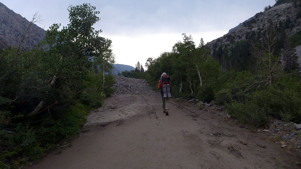
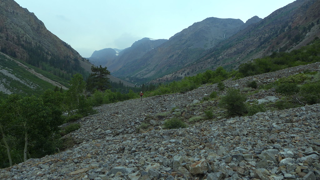
But Highway 168 west of Aspendell is currently closed due to a slide, trapping hikers and campers on the other side.
Re: rockslides on highways
July 23, 2018 01:02AM
Thanks for the info.

On the CHP Facebook page it is reported that "several large mudslides" have closed SR-168 indefinitely, but on their video it looks more like one massive rock slide.
(Lake Sabrina and North Lake are inaccessible, but South Lake is still open.)

https://business.facebook.com/CHPBishop/videos/790554634667087/

Someone also commented about another "massive slide a couple miles up Paiute Creek TH from North Lake CG as well, part of trail is wiped out".
avatar Re: rockslides on highways
July 23, 2018 07:33AM
chicky,

please report any other TH idiosyncroseas smiling smiley

Lundy Canyon TH was... um... well... um...

you couldn't get to it and I'm very thankful we didn't go with plan A

here it is between Lundy Lake and the Lundy Canyon Trailhead

heading east...


doesn't look too bad... um... yeah, this is it too...


The trail up the canyon had MORE washouts in the same spots it had
earlier this year... easily hike-able... but maybe use a GPS or sumtin...

Be safe

(and for #%!%@# ... if it sez no fires above this elevation... !!!! grrrrrr!!!! )


Chick-on is looking at you!
Re: rockslides on highways
July 23, 2018 10:04AM
So anyone that had driven all the way in and parked at the Lundy TH would have his/her car stranded there until the slide is cleared? Yikes!


Edited 1 time(s). Last edit at 07/23/2018 10:05AM by ags.
Re: rockslides on highways
July 23, 2018 01:47PM
Quote
ags
So anyone that had driven all the way in and parked at the Lundy TH would have his/her car stranded there until the slide is cleared? Yikes!

Yes, and in fact JKW was told that there were some cars stuck at the trailhead. We didn't see them, but we didn't walk the entire trailhead loop.

The rockslide was 10-20' thick and 100 yards wide, consisting of loose rock and soft mud--not something that a showroom-stock SUV would have any chance of getting over. It was also clear that it's not just rock/mud sitting on top of the road--the road is washed away in places under the slide as well.
Re: rockslides on highways
July 23, 2018 02:02PM
We were caught in the deluge on Saturday at Virginia Lakes. We went to Lundy Lake on Sunday and planned to hike up to the 20 Lakes basin. When we learned of the slide, I was hoping that you weren't stranded. All I could think of to help was stopping back at the "general store" on our way out in case you were stuck there.

Our Plan B was a hike to May Lundy Mine. We finished just before the rain returned. On our way back over Sonora Pass, we followed the MWTC personnel carriers up the east slope (training in inclement weather, I suppose) and were pelted with among the heaviest rain & hail I recall in a long time all the way down to Kennedy Meadows. Glad you are all OK. Sorry for the folks that I suppose may have their vehicles back in 2019.


Edited 1 time(s). Last edit at 07/23/2018 02:02PM by ags.
avatar Re: rockslides on highways
July 23, 2018 09:39AM
SR 168

[IN THE CENTRAL CALIFORNIA AREA & SIERRA NEVADA]
IS CLOSED 16 MI WEST OF BISHOP /AT SAGE ROADS/ (INYO CO) - DUE TO FLOODING
- MOTORISTS ARE ADVISED TO USE AN ALTERNATE ROUTE
Re: rockslides on highways
July 23, 2018 05:15PM
There is another Flash Flood Warning for the Aspendell area, but the weather report for Bishop is just a 30% chance of T-storms (July 23, 2018):

https://www.wunderground.com/US/CA/519.html?hdf=1

https://forecast.weather.gov/MapClick.php?textField1=37.3527778&textField2=-118.4027778#.W1ZtKPZFz-g
avatar Re: rockslides on highways
July 23, 2018 06:46PM
There's a webcam and weather info at: http://bishopweather.com/
avatar North Lake & Lake Sabrina Trailheads/Campgrounds Closed
July 24, 2018 11:29AM
Due to the major slide on Highway 168 (above Aspendell), the North Lake Campground and Sabrina Campground are closed. This closure is in place while the road remains closed. Campers should consider alternative campgrounds in the Eastern Sierra. Additionally, the Sabrina Lake trailhead and the North Lake trailheads (Piute Pass and Lamarck Lakes) are closed. If visitors have a permit to hike from either trailhead, please call the Wilderness Permit Office at 760-873-2483 to re-arrange your itinerary.

There is still the possibility of rain and thunderstorms in the forecast for today. The Bishop Creek drainage has received significant rain in the past few days and there are still concerns for continued slides, rock fall, and other rain related issues.

Please follow updates from Caltrans District 9 on the progress to safely clear the road.
Sorry, only registered users may post in this forum.

Click here to login