
FRI 7/23 – BURRO PASS, SAWTOOTHS, MULE PASS, CROWN LAKE
8.0 miles
+2650’ / -2600’
(all mileages and elevation changes based on Caltopo)
This was probably my favorite day of the trip. The views here are just non-stop, the terrain and ecosystems are strange and varied and beautiful, the elevation is the highest of the trip, the grade was never too difficult, the weather threatened but held off, and I saw nobody until sunset.
From down at the PCT junction all the way up to Burro Pass, the canyon has a fairly steady but gentle upward grade, consistently climbing in the range of 300-350 ft per mile. Sure, it gets a little steeper at the top, but it never becomes truly steep, and there are only a few switchbacks near the very top to gain the pass. All in all, I was pleasantly surprised at how easy (but long) the approach to Burro Pass is.

On the other hand, though, Burro Pass is deceptive -- coming out of a clump of trees the trail passes through at about 9800’, the pass suddenly appears to be so close. Then after another 30 minutes of walking straight towards it, the pass appears to be no closer. The Sawtooths, however, do appear to be getting closer. But finally the trail steepens a bit and switchbacks a couple of times to gain Burro Pass.


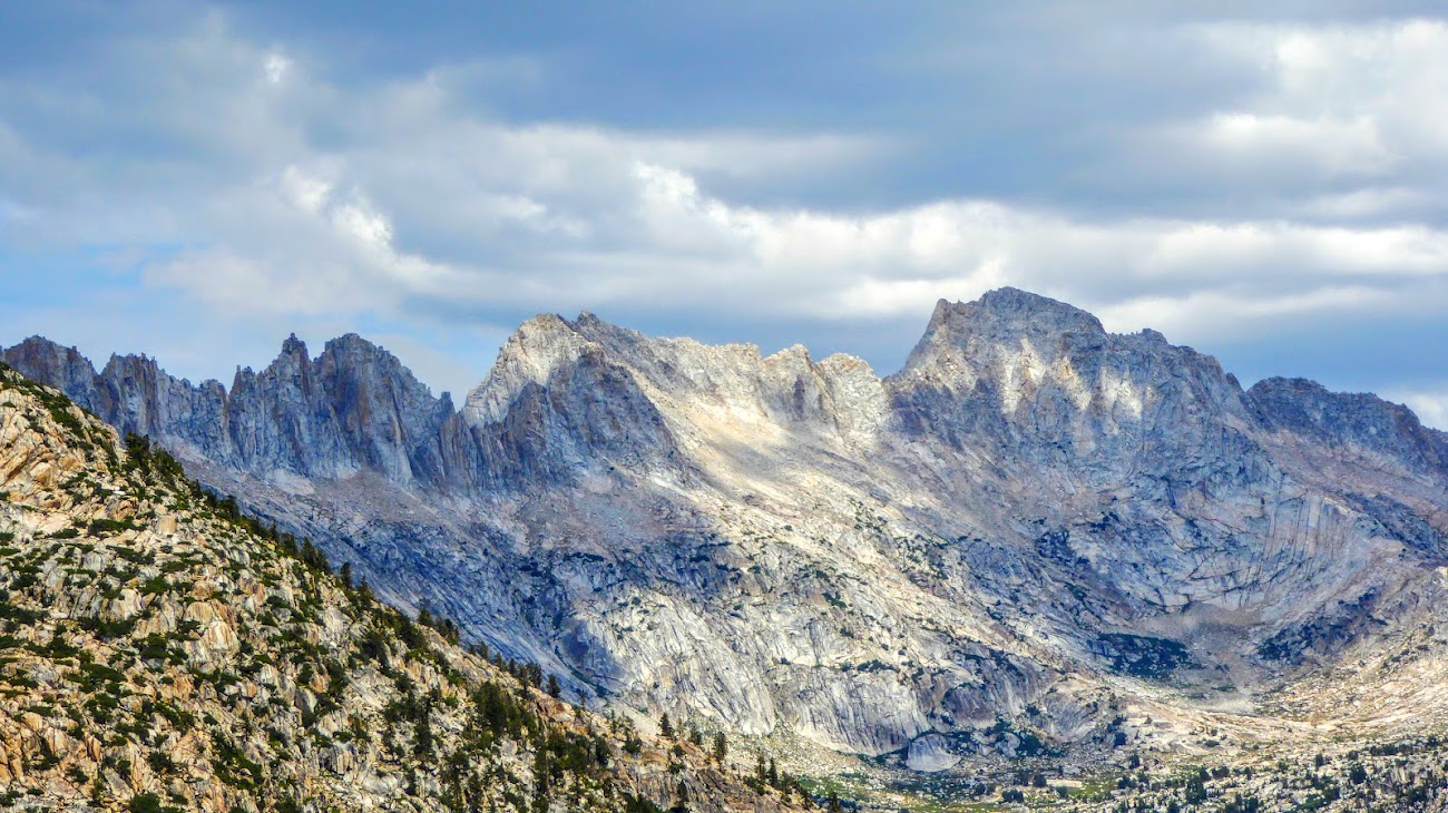
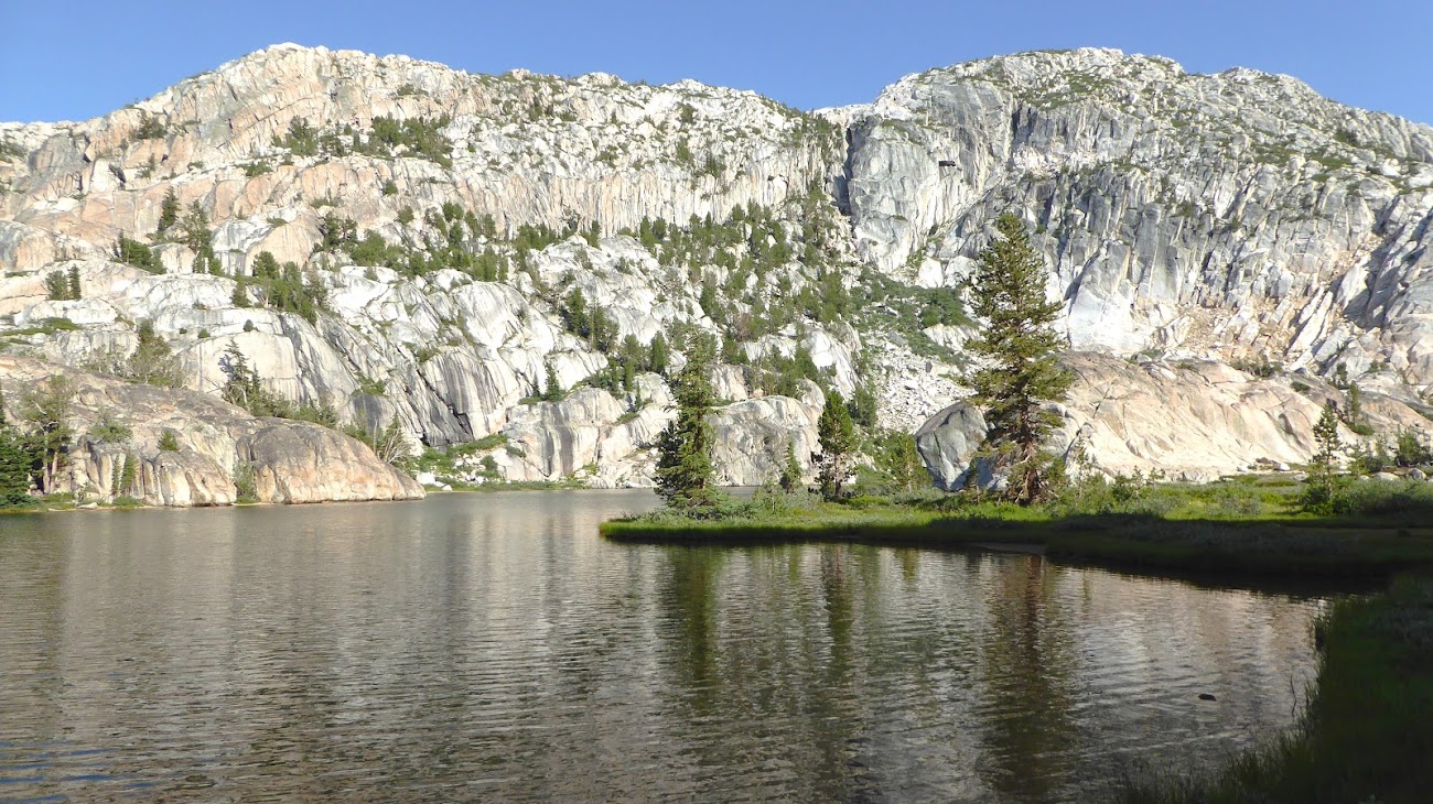
The views at Burro Pass are, of course, incredible. This is the highest point of the trip at ~10,650', about 170 ft higher than the top of Volunteer Peak, which makes the views from Burro Pass all the more impressive with the towering Sawtooths, Matterhorn Peak, and Finger Peaks soaring a couple thousand feet above you.
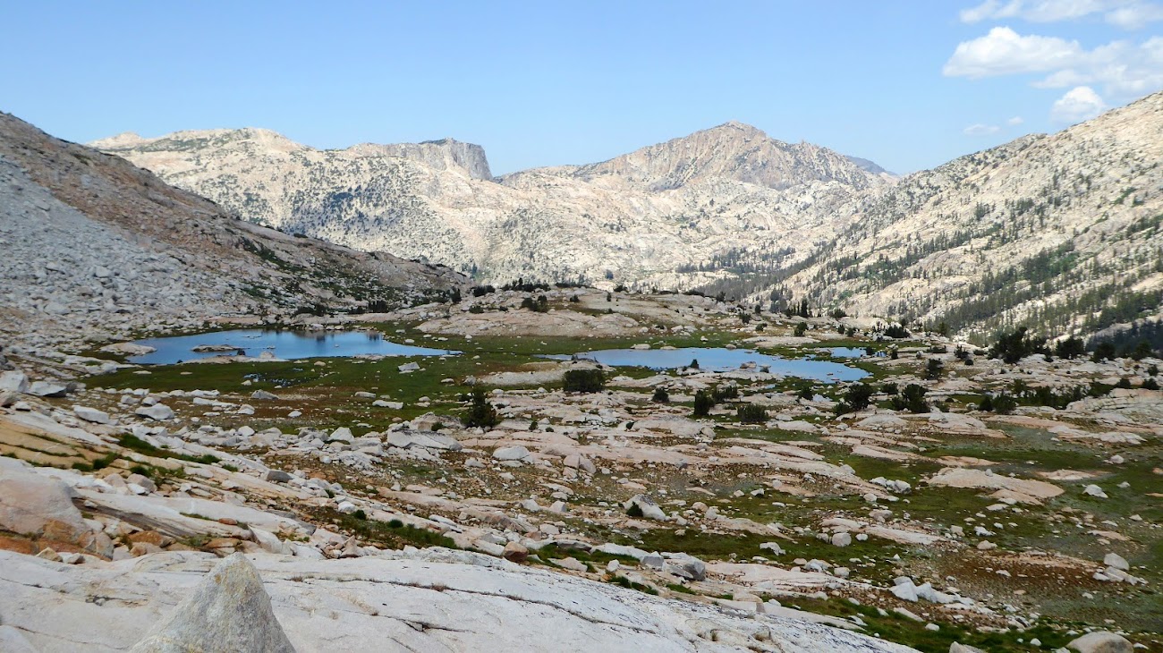
From near Burro Pass, looking back down Matterhorn Canyon:
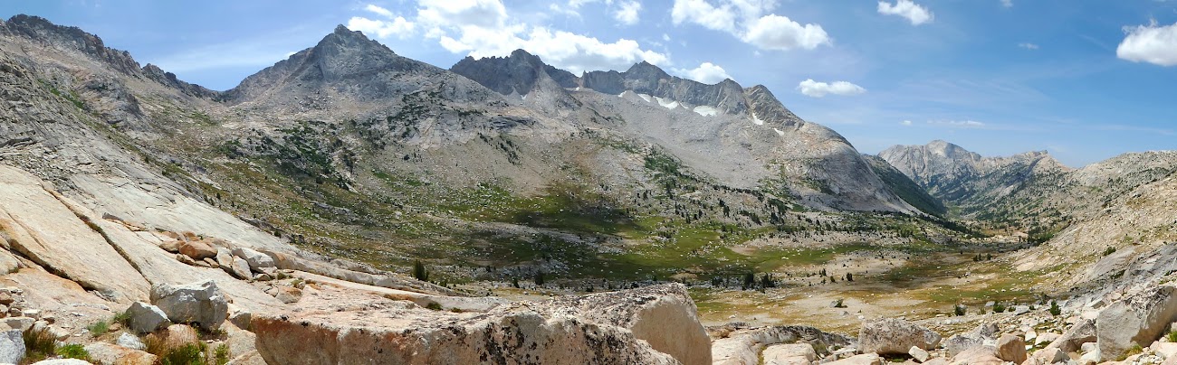
Burro Pass:


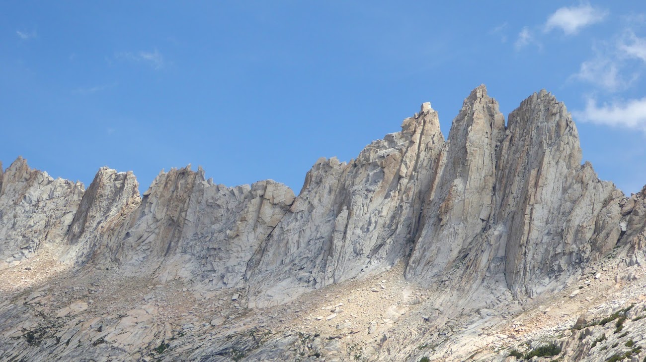
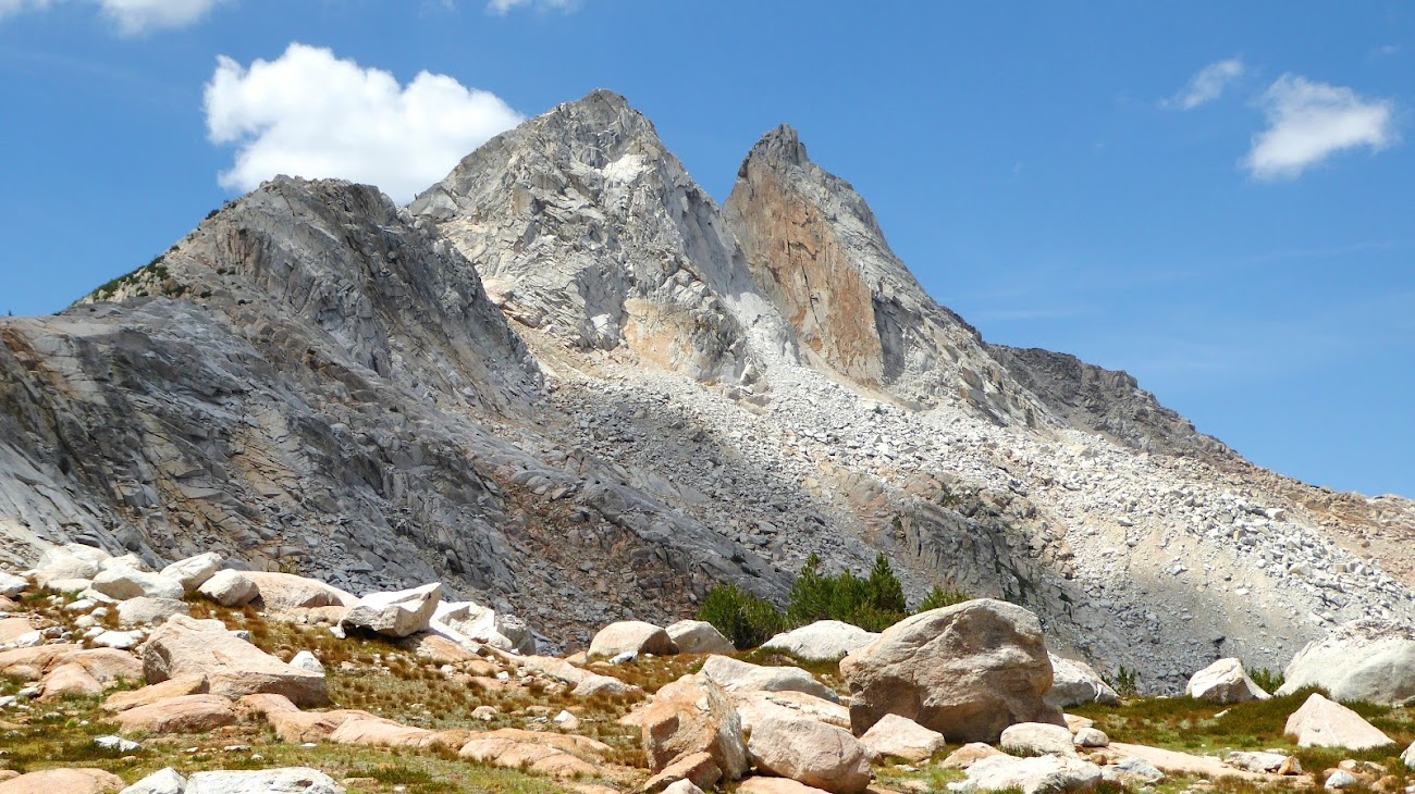
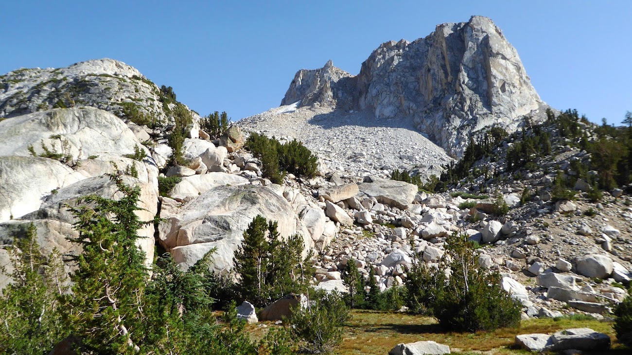
This rock formation atop the Sawtooth Range is called The Doodad, and it’s a favorite of rock climbers. A certain pink feathered Yosemite visitor once called my gear “a cornucopia of doodads,” because I guess I carry a lot of little convenience things, even though they hardly weigh anything. So only fitting I posted a pic of the real Doodad:

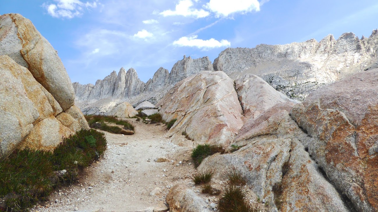
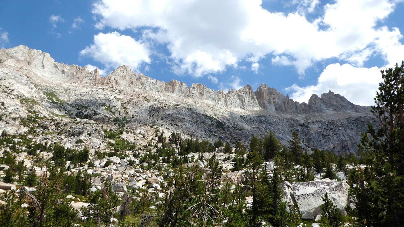
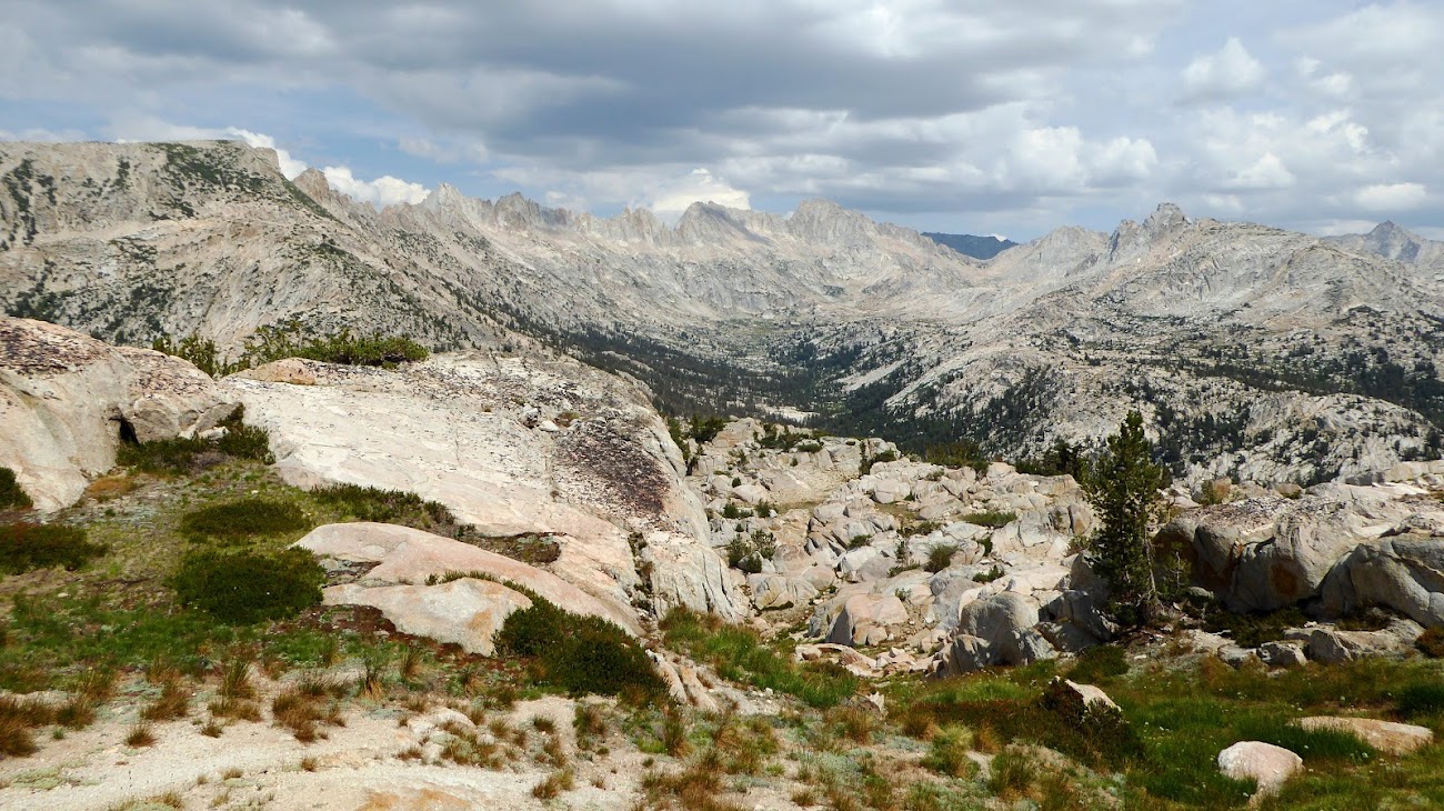
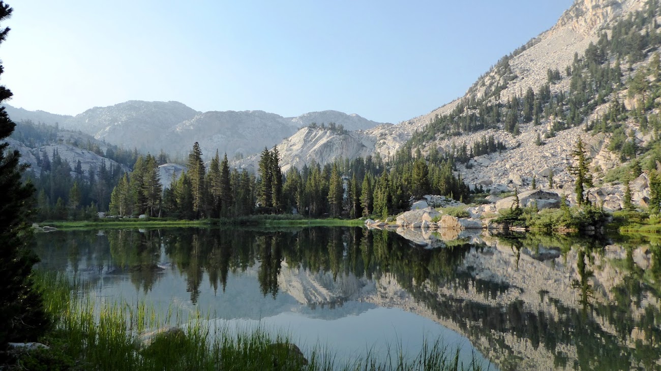
The area between Burro Pass and Mule Pass is a fantasy wonderland. I really would not have been too surprised if in this area I had seen fairies or gnomes or centaurs or leprechauns frolicking about. It really seemed like something out of a storybook. The trail cuts close under the southern edge of The Sawtooths, which absolutely dominate the view, and the unique spires and ridges along this spine only add to this area’s mystical charm. Across from the Sawtooths, the Finger Peaks bookend the view.
Unlike what you might expect, this area is more wet higher up and dries out lower down. Coming down from the pass is a series of streams and wetlands and meadows, including a bubbling brook very high up close to the pass draining out of the Sawtooths. Then come granitic slabs, then finally forested vales. Slide Canyon and the top part of "The Slide" itself come into view. At one point there is a bizarre bog where the ground heaved and sank several inches under my feet, like I was walking in a kid's bounce house. I've walked through bogs before, including several on this trip, but this was different -- usually my foot sinks into the soil and water oozes up from beneath, like walking on a sponge, but in this magical area the soil was dry and flexible, like walking on a thick rug lying on top of a waterbed. I think it may actually be a dried crust that is floating on top of water or deep mud to give this odd springiness.

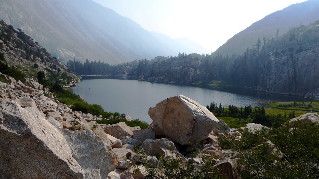
At the bottom of this area is the head of Slide Canyon, and while I really wanted to go down to see The Slide up close, it was going to be cross-country through a forested area, and I didn’t want to put more wear on my deteriorating shoe than need be, and I was a little concerned about finding the trail again in a forested area, so I kept on towards Mule Pass. Unfortunately, you don’t get a good view of The Slide from anywhere along the trail. This is the best I found:

The sky started to cloud up and really darken by midday, and I was concerned it would rain that afternoon or certainly that night. But, happily, the clouds blew through later in the afternoon and blue skies returned – I guess someone else got rain that night.
The climb to Mule Pass isn't all that hard and steep, but it did seem to drag on, and it's one of those passes where over and over looking ahead you think you are finally approaching the top only to find higher terrain yet to go.

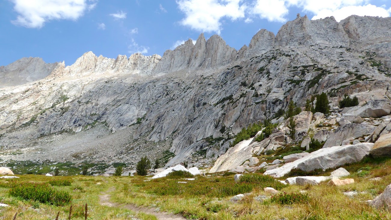
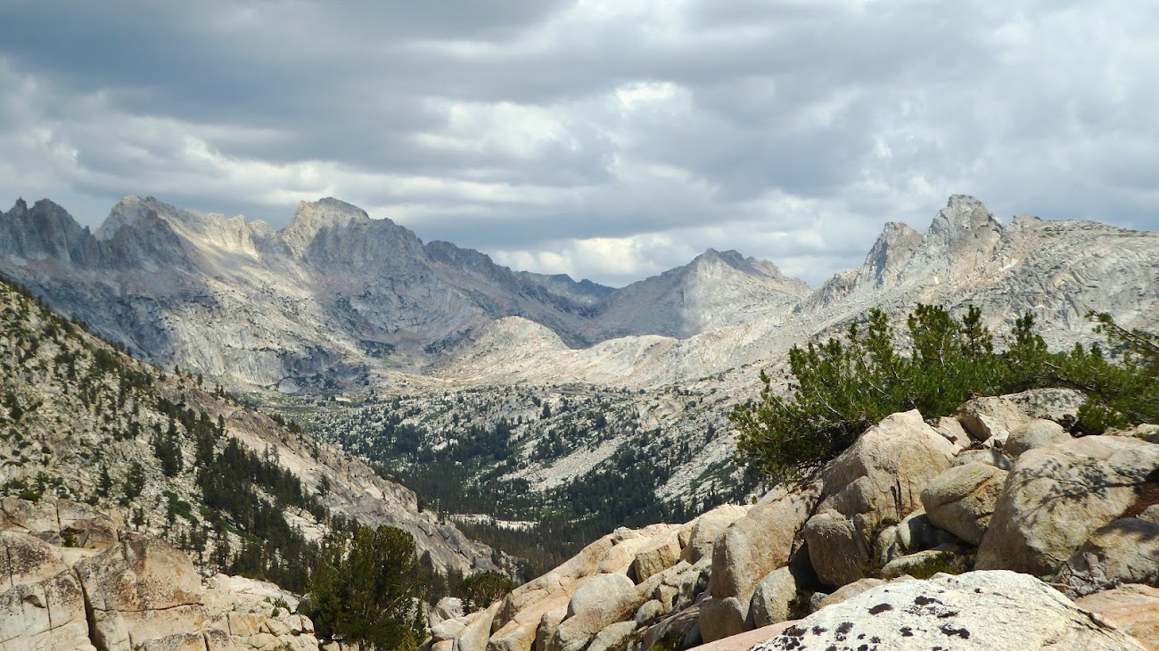
Still, the views back towards the Sawtooths and Burro Pass and Finger Peaks was well worth the climb to Mule:
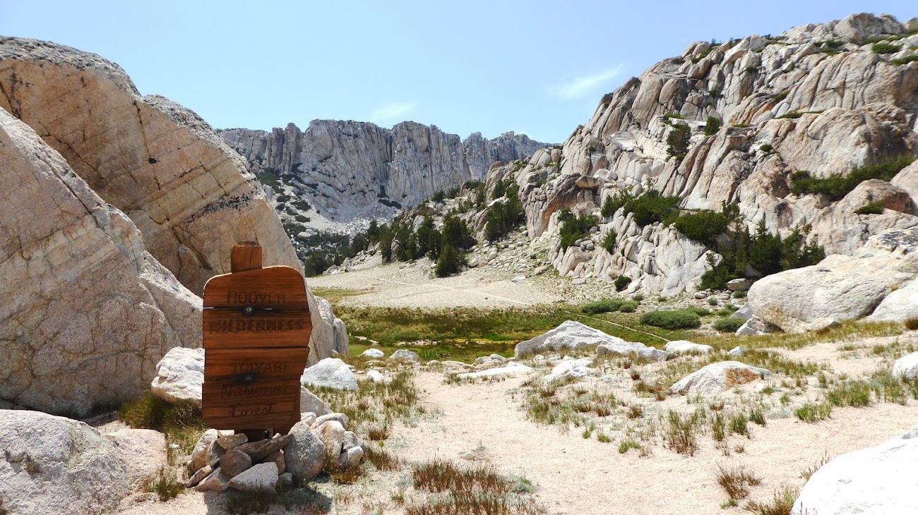
Eventually I did gain Mule Pass and crossed out of Yosemite into the Hoover Wilderness and began the drop down to Crown Lake.


I camped at Crown Lake and when there I met a bunch of other guys from the Sacramento area who were hiking together, and they shared more duct tape with me and let me hang out with them. One guy had brought a travel guitar, so we ended up singing and storytelling and drinking into the night. After 7 nights of camping by myself I enjoyed the company and a very different trail experience.

SAT 7/24 – TO TWIN LAKES, EXIT
8.22 miles
+800’ / -3200’
Exit day. While still comparable mileage to many of my full days on the trail, my plan was to be back to the car by lunchtime – it was virtually all downhill and half of it I’d seen just a week earlier, so I expected to crank out these last 8 miles in just a few hours.
Oddly, I awoke this day (after 4 straight nights sleeping over 9000’) with some nausea and a headache, probably because of spending most of the prior day well over 10,000’. I broke camp early and was on the trail before 7am, along with several of the guys I hung out with the night before.
This was the only day of my trip that smoke began to roll in, and it wasn’t that bad but did obscure the distant views.

The trail drops along Robinson Creek to the Robinson Lakes:


And then it passes the emerald pool below Robinson Lakes. This pool was probably the buggiest place I experienced on the whole trip, there were just clouds of mozzies along this pool’s bank. Unfortunately, I couldn’t get a really good shot of this pool because of the reflections off the water – I think afternoons may be a better time to catch the water’s color because the sun will be at a different angle so maybe the reflections aren’t as bad.

Shortly after this pool the trail comes back to the split between Peeler and Crown Lakes, and we turned east to re-tread back toward Barney Lake and Twin Lakes. Barney:
We got to Mono Village about 11:15.
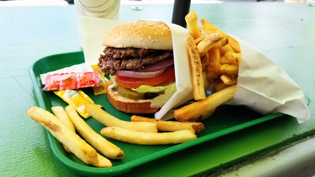
From there I drove to Bridgeport for a burger at The Barn. Now I know it had been a week since I had eaten real food, so I probably would have found a cardboard box to be appetizing, but even so I still thought this was a great burger!
Drove back 108 to meet up with Old Dood at his place where I showered and we had dinner. Got up early the next morning to drive back to SMF, turn in the rental car, and catch a noon flight back to ATL. What a great trip!
BTW, here is the final state of my shoe after coming off the trail:


One thing that puzzled me on this trip is that at all hours of the day and night I would hear what sounds like the roar of a jet engine, like being down-runway from a big plane taking off. A sudden burst of a roar (like an engine revving up at the start of take-off) and slowly tapering off over about 30 seconds. It wasn’t planes flying overhead at high altitude, plenty of times I saw planes in the sky with no noise. Besides, I know that sound because where I live in ATL is down-runway from an airport, and I can hear planes taking off from about 5 miles away. And what I heard in Yosemite was just as loud as that, if not louder. I know the terrain could be channeling and amplifying the sound somewhat, but even so what runway is close enough to northern Yosemite to cause these noises? I would think SMF and FAT are too far away. And not a small community airport, these were big engines and sometimes taking off in the middle of the night. Tahoe? Reno? Possibly the Marine training center near Sonora Junction (though it doesn't appear to have an airstrip)?
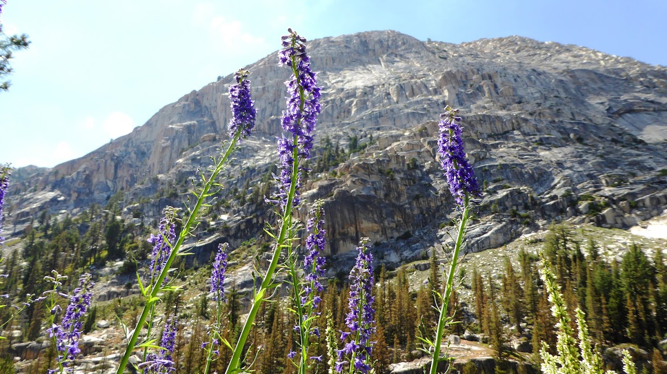
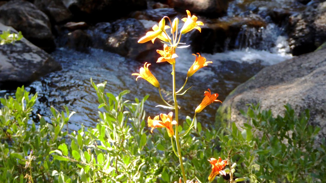
FLORA
Finally, here are a few photos of flowers and flora along this trip:


If anyone has any questions about this loop or any part of it, feel free to ask here and message me to alert me to your questions!
- Billy Joel
Edited 4 time(s). Last edit at 08/18/2021 06:29AM by JRinGeorgia.


