
The loop can be started at either the Kilauea Iki parking area or the Lava Tube lot; the latter seems to be full more often due to the popularity of the Lava Tube, especially among tour busses.
We hiked the loop clockwise, choosing to take the drop into the crater/former lava lake all at once. The descent is along nicely-graded switchbacks that pass though dense foliage with only glimpses of the crater's floor. The contrast of the lush descent with the floor of Kilauea Iki could not be more pronounced. Photosynth
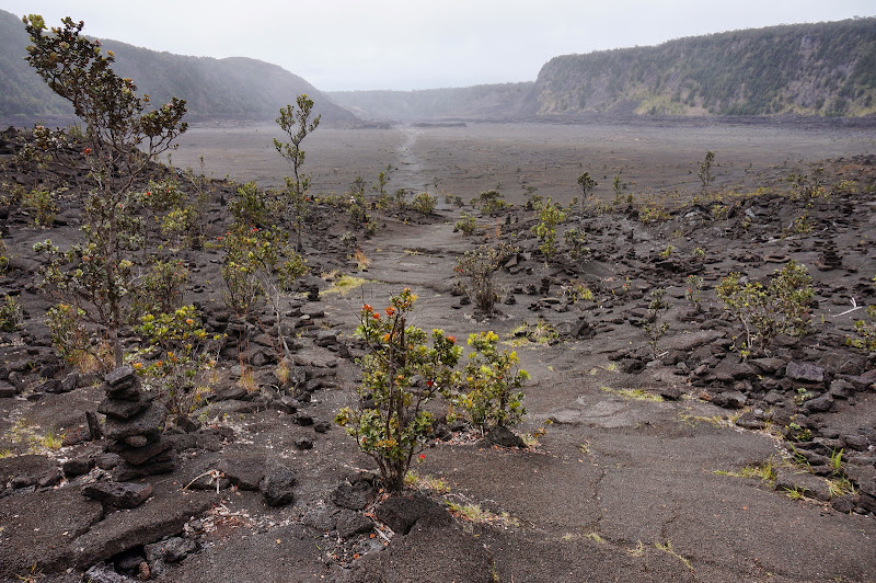
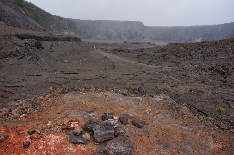
Unlike in the Sierra where the rock is untold millions of years old, the floor of this former lava lake is a bit over half a century old--in fact in some places it's still warm to the touch and there are a few active steam vents.
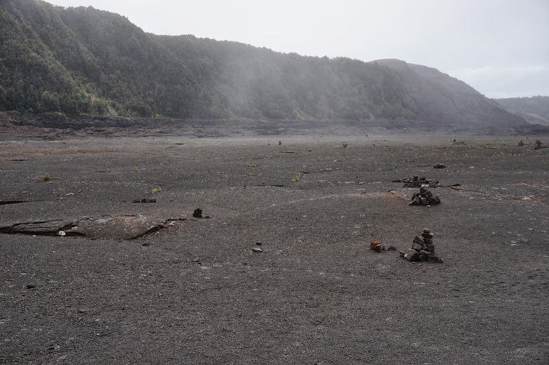
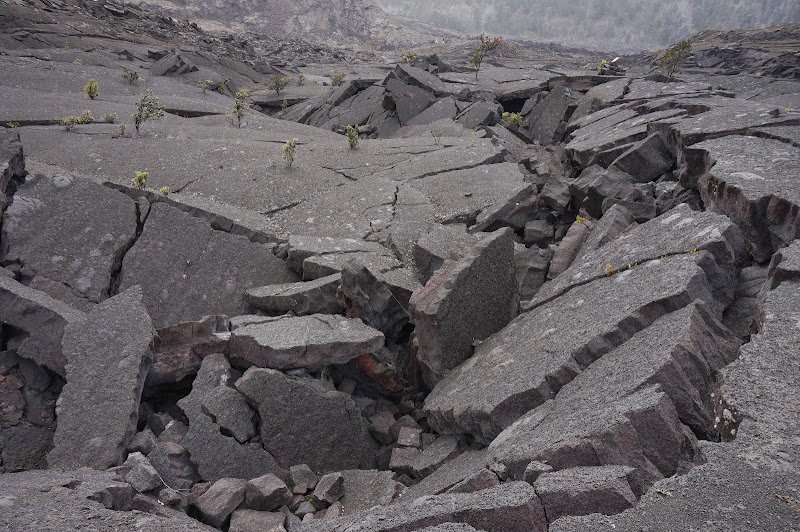
The former lava lake's surface shows buckling, cracking, and fracturing, not unlike what you'd expect if the surface of a lake froze over, then the lake was drained--which is more or less what happened here, but at higher temperatures. Around the perimeter the "high lava" line is readily apparent. Photosynth
At the far (west) end of the crater, the (a'a) lava was more rugged--this was near where the lava started flowing into the crater and a new mountain (Puʻu Puaʻi) formed. Photosynth
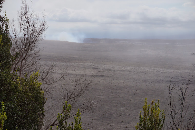
After a steep climb out of the west end of the crater, we reached the junction with the Byron Ledge trail. We took this short diversion and were greeted with views into the comparatively huge Kilauea crater and the active vent at Halema'uma'u.
We chose to return to the loop trail, but in hindsight it is probably more scenic to continue north on the Byron Ledge trail then take a second spur back to the loop. The loop trail itself continued the climb out of the crater, then followed its rim closely--with an occasional view into the crater--back to the parking lot.
More Pix

