
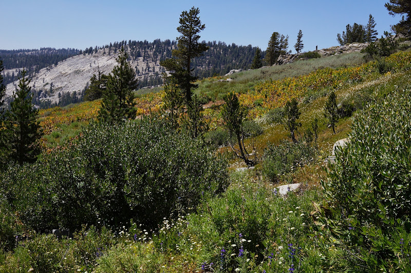
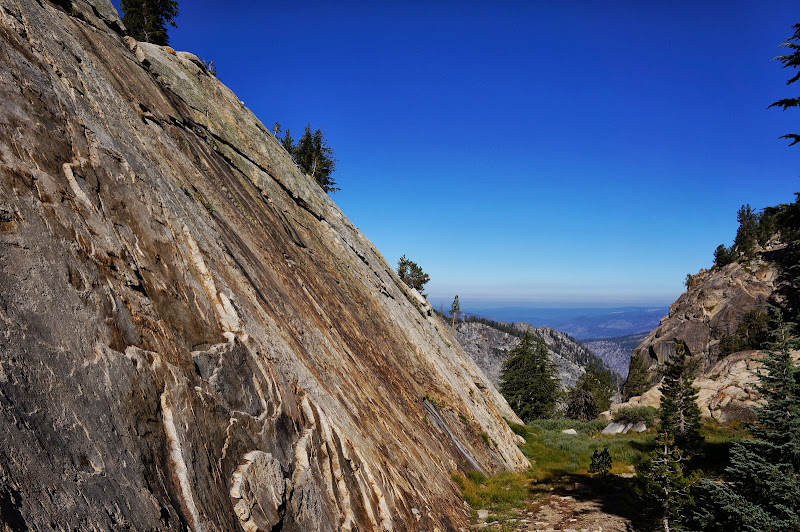
My wife, new-to-backpacking M, and I headed up the trail. The views were decent at the first open section, although the effects of the various fires resulted in a slight haze. Mt. Hoffmann, Tuolumne Peak, and other highlights from a month or so ago were visible to the east. Given how dry everything was, it was surprising that there were still a few puddles of water--the first anywhere near the trail--at the crossing near the White Wolf spur trail. More surprisingly, however, was the cool and refreshing spring just below Half Moon Meadow.
While our destination was Ten Lakes Pass and beyond, we wanted to visit lower Grant Lake along the way, so from this cool spring, we left the main trail and followed a well-worn use trail past several campsites to a decent view of the southern end of Half Moon Meadow, where perhaps a trickle of water flowed towards the south.

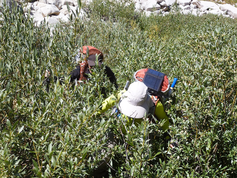
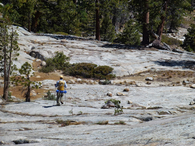
After straightforward cross-country with a few steep sections, we passed through an REI-branded tent city just before the trail. Maybe 100 yards past the tents was a sign that was overly optimistic about our elevation, but accurate about our being at Grant Lakes.

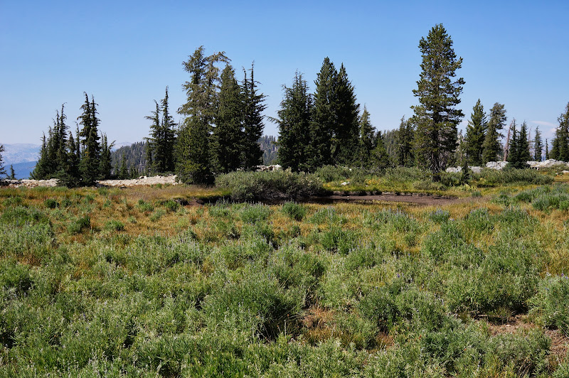
The water was warm, but unfortunately the breeze was cool, so no swim :-( After breaking for lunch and loading up on water (4L or so each), we followed the Grant Lakes spur trail up--steeply at times--towards Ten Lakes Pass. Along the way it passed through a beautiful open meadow with (surprise!) a few springs flowing through it. We also passed by a large car-camping REI tent (Hobitat 4?) set up with a decent view.
Near the junction with the Ten Lakes trail, we headed north towards the ridge which overlooks the Ten Lakes basin and enjoyed the views of this basin and much of northern Yosemite, including distant peaks and canyons we'll be visiting in a few short days.

We followed the ridge to its high point, where we often stop for lunch on day hikes. We paused here for a few moments, but we still had further to go.

We quickly returned to and crossed the trail, pausing for a few pictures on flat, open Ten Lakes Pass. (For those keeping tabs on water, the small tarn near this junction appeared from the distance to still have water in it...)

We continued westward, roughly along the county line and drainage divide. Another surprise was a stagnant pond near the crest. The quality of the water was such that we didn't feel bad about having hauled several liters from Grant Lake.
Travel along the ridge was mostly open and gentle, with excellent views of the Grand Canyon of the Tuolumne to the north.
Along the ridge, we saw only a single faint set of footprints that suggested someone else had been here, perhaps recently.

Only near our destination--maybe a quarter mile or so from it--the routefinding became just a bit more tricky, but never dangerous or exposed. We crested again and peeked down at Lake 8673--technically the closest water to where we'd camp, but being 1000 feet lower than camp, a water source only the crazy would consider. Just before camp, we saw another tell-tale indication that we were not the first ones here.

Technically, the food storage regulations only cover items that bears would consider to be food... And this can was empty and cleaned out.
While we'd been taking our time heading up from the trailhead, Party "I came up Friday and decided to come in the long way" A had arrived, napped a few times, visited 8673, filled up with water, and returned just as we were scoping out the campsites.
Although the air was dry, we used the slight breeze as an excuse to set up our new shelter.

We chatted, ate, and chatted some more, enjoying the extended sunset our near-ideal horizon provided.

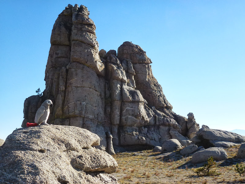
Cast in red light, the granite formations of Double Rock once more appeared as if they'd be more in-place in Moab than Yosemite.

Eventually the day ran out of light, and we went to bed.

The nighttime air was cool, but clear, and we saw many "falling stars" from the Perseid meteor shower, including a few slow but very bright flashes.
The nighttime temperature was generally mild, but the next morning, we had a slight amount of frost on our sleeping bags.
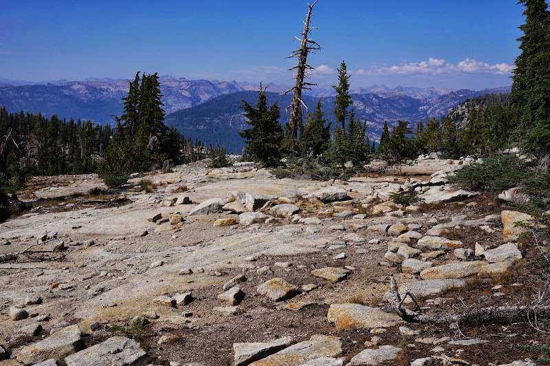
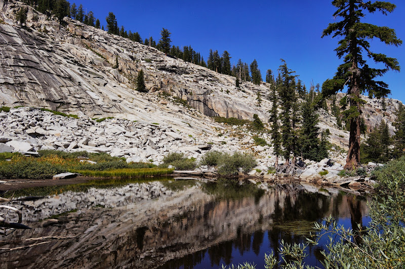
We hadn't made any firm plans for our "out" day, but we eventually settled on exploring some of the area north of the divide. We followed the ridge eastward for a bit, then started to drop into the valley west of Colby Mountain. This valley ended up being classic Yosemite: polished granite, lush meadows, and waterfalls. Well, a few months ago there would have been all kinds of waterfalls and cascades.

Except for a stray Mylar balloon, we saw virtually no signs of others' presence...almost...for we did stumble upon a strange--and very well constructed--metal box-like thing:

Despite its considerable weight, we hauled it out. (If anyone knows what this is, please let me know... it appears to be almost hand-made of a high grade stainless steel. Some kind of scientific experiment apparatus? It seemed much too heavy to be some homemade backpacking gear...)

We continued down the valley, following a dry creek along open granite, among the best in the area, if not the entire park.


One particular section would have been, and will be again, a wonderful cascade, perhaps with a waterwheel or two.

Despite this ample evidence of water, there were but a few small pools--and one stagnant pond--where any water remained.
Soon, our wonderful hanging valley came to an abrupt end, 3500' above the floor of the GCT. We stopped here for lunch while enjoying the views across the canyon: Pleasant Valley, Rodgers Canyon, and Rancheria Mountain, plus a few other peaks that we may be visiting in a few days.
We took a different route back, which had a few "delicious" sections.


In the final meadow before our climb out of the valley, we filled up on water in a deep, mostly clear pool before attacking the ridge ahead of us.

Progress up the ridge was slow and steady, and the rocks were mostly solid.

Soon the gradient eased and we followed another nice meadow to the summit we had crossed transversely the previous afternoon.
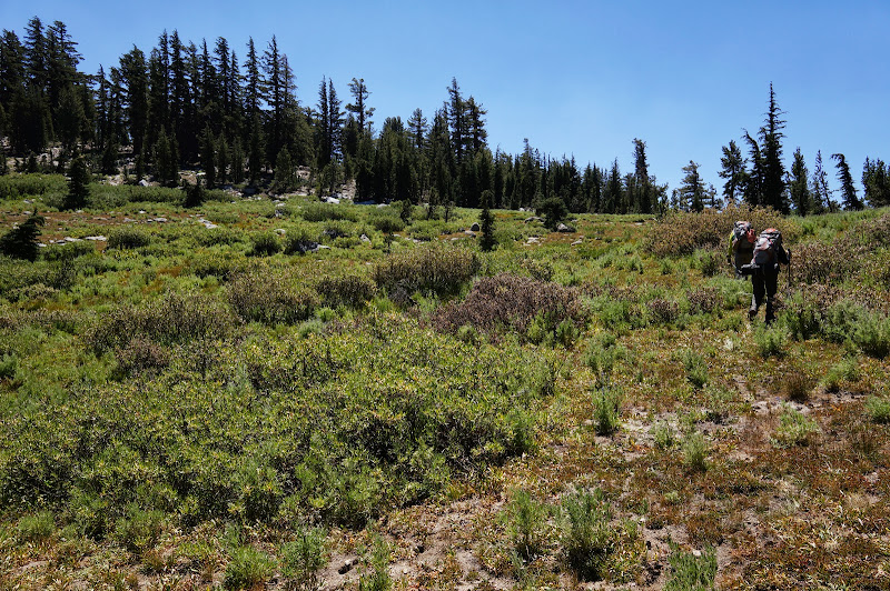
On the way down the other (south) side, we crossed onto an open ridge which had nice views of Half Moon Meadow and the ridge behind Grant Lakes.


After descending a bit further, we were back on the Ten Lakes trail, just above the cool spring where we had left the trail the previous day. Within minutes of hitting the trail we encountered the first hikers we had seen (other than Party A) since leaving the trail the previous day. After another fill-up, we flew down the trail back towards the trailhead, pausing occasionally for a picture or two.

Party A chose an off-trail route for the final mile or so, but we met up in the parking lot at about the same time.
We returned the Friday party to his car at May Lake, then headed to the valley to help my wife set up camp with her father. She got to enjoy another nice evening in Yosemite while M and I returned to the Bay Area.
Still, other than the newly-constructed balanced-rock-tower eyesores, no complaints. Except I don't know what the metal box was for...
More Pictures


