
Day 1: Up Robinson Creek
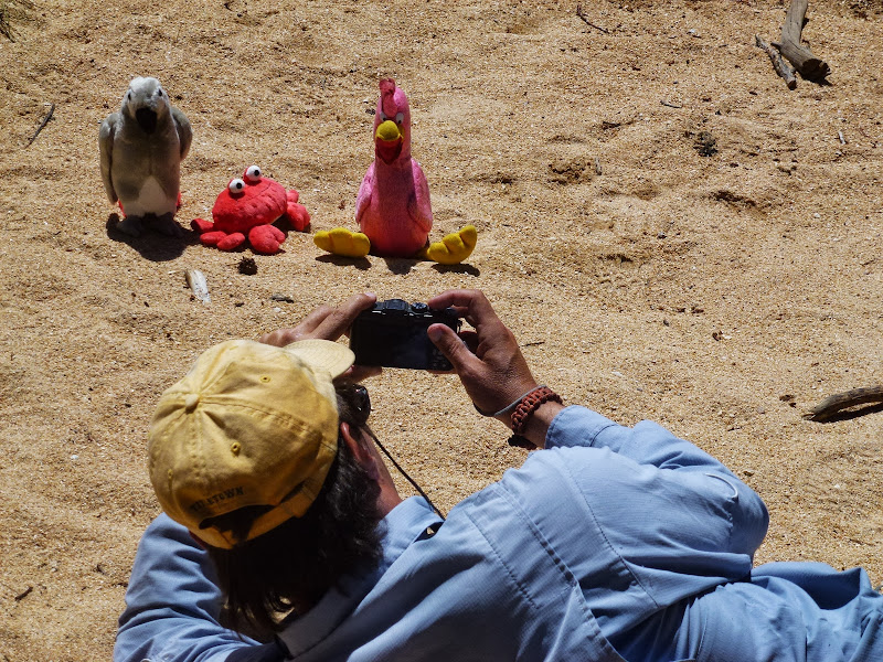
Preparing for a multi-day backpacking trip--or two--always involves a bit of planning, especially around food.

Packed, prepared, and ready to hit the trail, we met tomdisco at the Redwood Motel (nearest redwood: Calaveras Grove?) in Bridgeport and headed to the Hayes Street Cafe, where we enjoyed a nice breakfast with the higher peaks of the Matterhorn-Sawtooth area clearly visible. Soon after securing our permit and returning to the motel, the final two members of our merry party--chick-on and Catalonian Burro--arrived after having started from the Bay Area the same morning. Not long thereafter, we were on the road to the Twin Lakes/Robinson Creek trailhead for a seven-day adventure through Northern Yosemite.
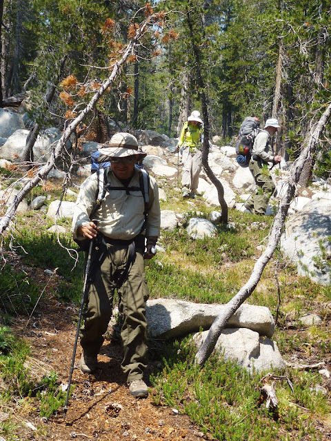
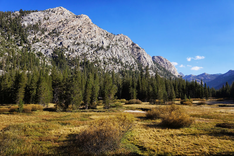
The hike to Barney Lake was mostly eventless, the most difficult part being navigating the campground complex near the trailhead. But soon we were on the trail and passed the customary wilderness boundary signage.

The breeze was stiff at the Barney Lake beach, but we still took the time to have a leisurely lunch, take a few photos, and debate what to do about unwanted mustard packets.
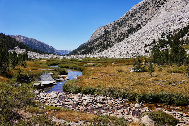
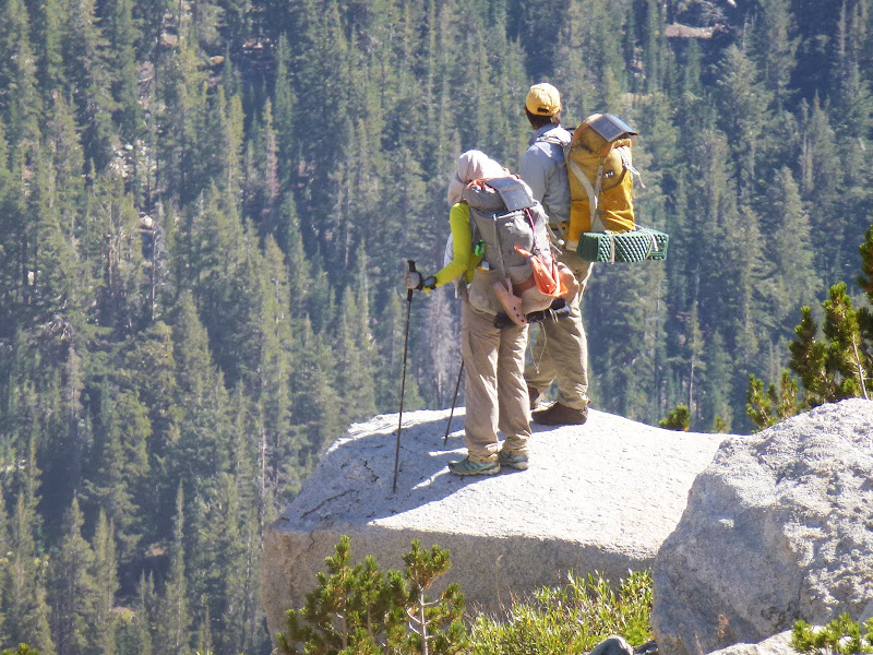
Our destination was Crown Lake, and we eventually had to strap on our heavy backpacks and resume our trek towards still-distant Crown Point.
Along the way, we passed a few backpackers who claimed that there was fire in Stubblefield Canyon, a fact that our resident Stubblefield Canyon expert doubted due to the lack of foliage. Near the Peeler Lake/Snow Lake-Rock Island junction, we met a few more backpackers who had been to Peeler earlier that afternoon, but turned back due to smoke, none of which was visible to us, so we pressed on, passing the Robinson Lakes and a few pretty tarns.

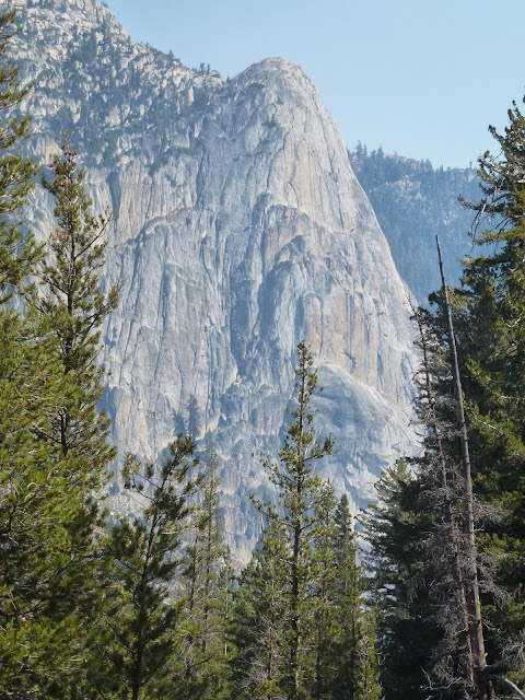
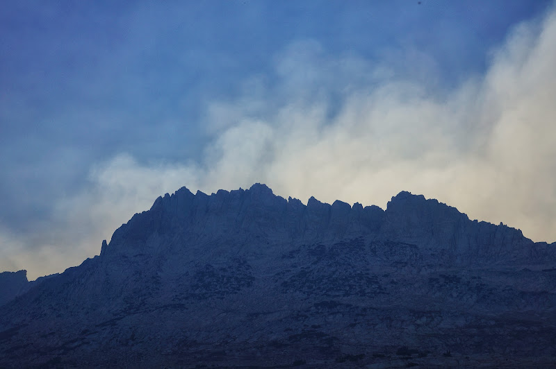
Along the final climb to Crown Lake we could see dense smoke right over the Peeler Lake area; we felt we were fortunate to be in the "next" canyon over, away from the smoke.
Although many of us were ready to stop by the time we reached Crown Lake, we decided to press on towards a tarn a couple of hundred feet up which a ranger near the trailhead had mentioned.
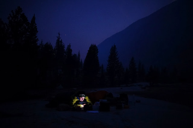
Near the Mule Pass/Rock Island Pass junction, we chose to stop. A quick scouting expedition didn't locate any substantially better sites, so we chose the impacted ones near the junction. Dinner was breezy, and the sun had sat early behind Crown Point, but as a big plus, we enjoyed gourmet cupcakes for dessert. All in all, not a bad start to the trip.
Day 2: Down Slide Canyon
The next morning was clear, and after breakfast and packing, we started the climb over Mule Pass.

Our group's representative climber passed on the opportunity to crank some nice crack routes nearby.

Just below the pass we stopped at the nice tarn in a large meadow just north of Slide Mountain.

Not long after resuming the climb, we reached Mule Pass and entered Yosemite.

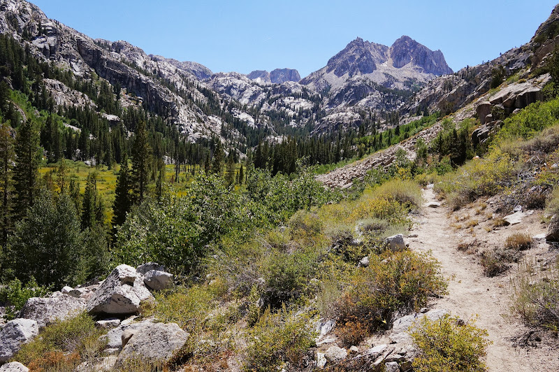
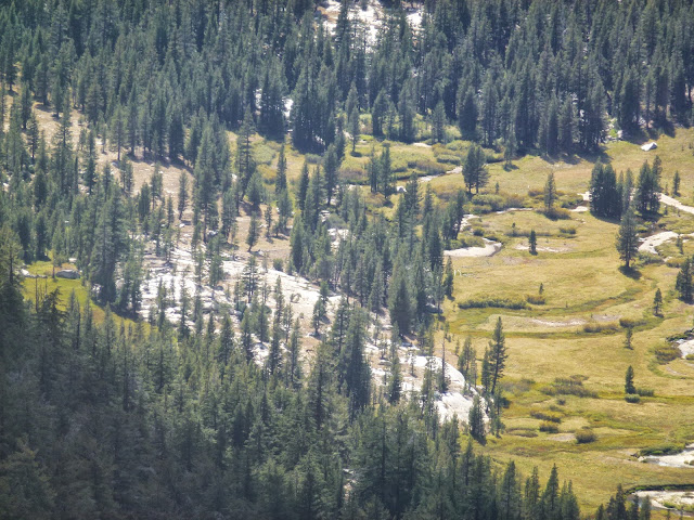
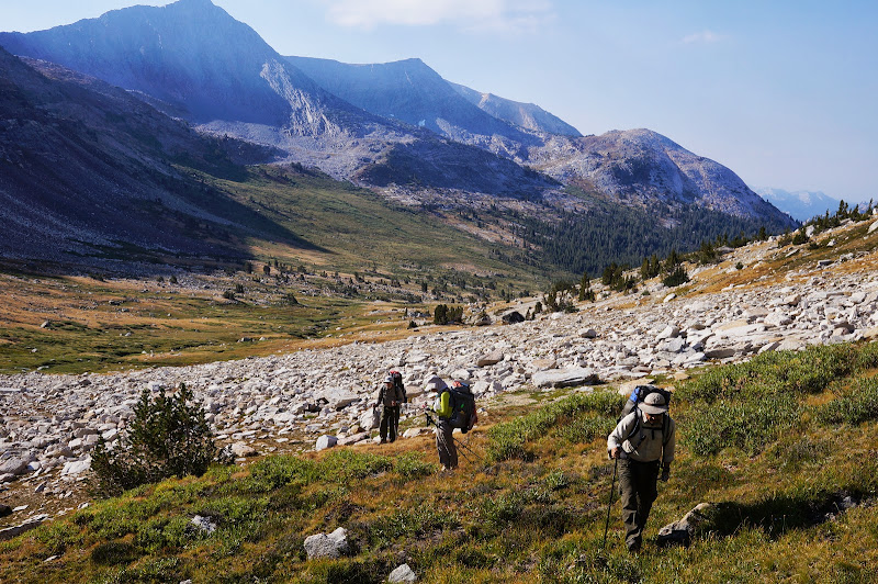
After following the rough trail for maybe a mile, we left it and were soon on the broad, open floor of Slide Canyon, just upstream of its namesake rockslide. In the distance, the mountains we'd be ascending the next day were visible.
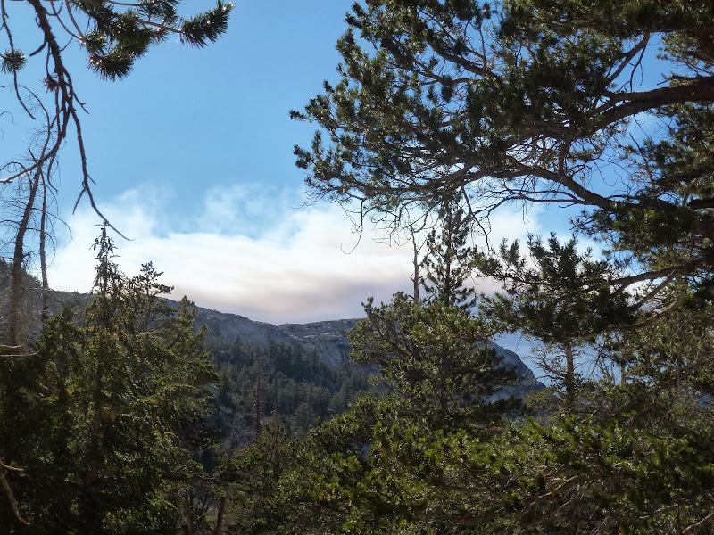
During the short time we stopped for lunch, smoke started to fill the canyon. Only an hour later:

We went around the east side of the slide on a well-defined use trail and continued the easy cross-country travel down-canyon into ever-thickening smoke, which we could now smell as well as see.
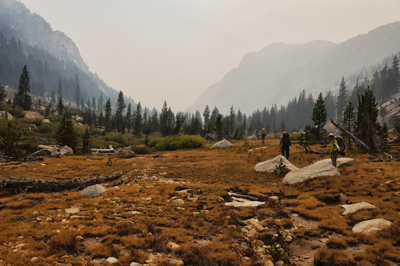
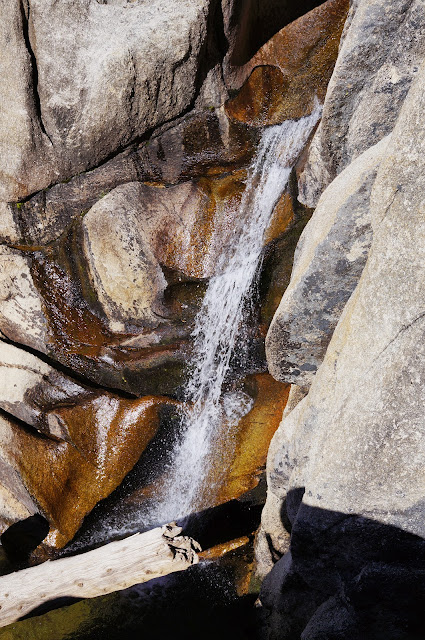
The stroll down Slide Canyon was all straightforward cross-country travel, across open granite or through open forests and meadows. We paused several times to photograph small cascades, gorges, slabs, or other typical--yet still unique--Yosemite features. As we continued down canyon, the smoke thickened, casting a golden glow on the landscape in the style of Bierstadt or Moran's luminism. Near the mouth of Big Canyon creek, we found a large expanse of flat granite and set up camp for the night.
Some rested, some bathed in the not-too-cool waters nearby, and others found new domes to explore.
The smoke cleared a bit after sundown while we rested... or caught up on TV.
Day 3: New Plan: Head East, Young Man!
Our original plan was to loop towards the west, via Rodgers and Benson Lakes, returning to Peeler Lake via Kerrick Canyon. However, we decided to loop towards the east instead to stay further from the fire's origin. (At the time, we didn't know that the smoke was impacting areas as far away as Reno, NV, so we somewhat naively believed we could "outrun" it remaining "one more canyon" past it to the east....)
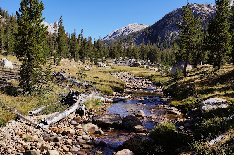
After a chilly morning, we were on the move again, heading towards, then up, Camp Creek.

The climb up Camp Creek was steep at first, but the gradient eased a bit, and soon we were passing through small meadows and open forest under the other Slide Mountain.


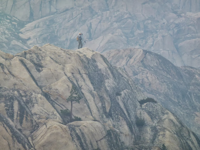
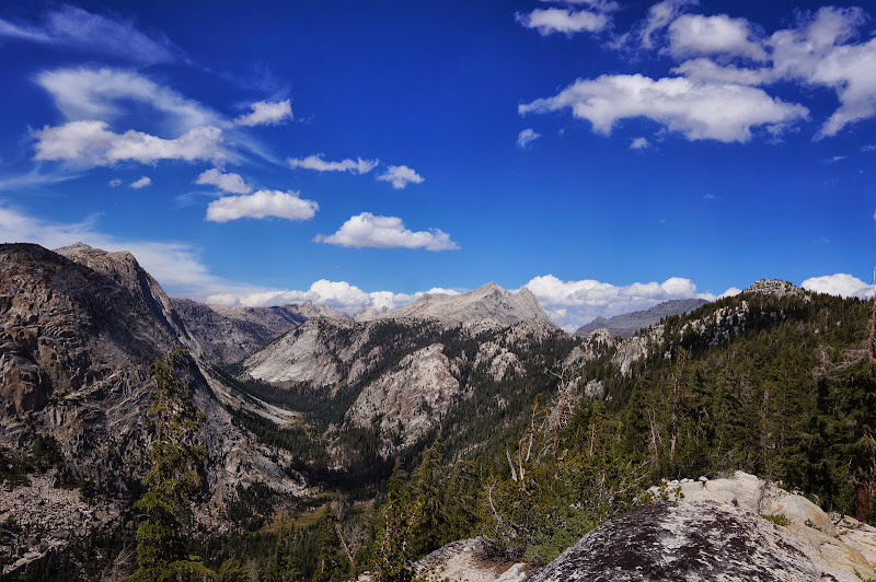
After a rest-and-food break below the final ridge ascent, the dome-bagging contingent left for Quarry Peak while the rest of us reached the ridge where we could see Tallulah Lake in the distance. Further away, we could see other peaks and mountains that we would have passed along our original journey. We stopped for lunch--and airing out our gear--near a small tarn between Tallulah Lake and Wilson Creek.

Any thoughts of resuming the original clockwise loop were dashed when the smoke rolled in while we ate lunch and rested.

We had been in radio contact with Team Quarry and arranged to meet where the PCT leaves Wilson Creek to climb towards Benson Lake. The hike down Wilson Creek was (of course) mostly easy cross-country travel through open forest.
After another rest stop, we descended into Matterhorn Canyon. The few hikers we encountered along the way didn't have any real, new information about the fire, although we quietly questioned their decision to continue along the PCT given the dense smoke coming from the west.
We found a decent campsite just above the meadow on the west side that provided for a decent amount of evening sun--at least in theory. In fact, the smoke was thick enough to block a lot of the evening light long before the sun sat behind the mountains surrounding the canyon.

As with the night before, the smoke eventually cleared, revealing the stars above us.

Day 4: Into Spiller Canyon
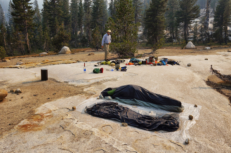
The next morning was cool, with a light frost covering our sleeping bags and bivy sacks.
The sky was again clear of smoke, and we packed and were soon on the trail, climbing up out of Matterhorn Canyon towards Miller Lake and Spiller Canyon.

(It should be noted that in this section the actual trail does not align well with the trail on the topo map, despite the fact that the trail passes by numerous "T" blazes that likely date back to the days when the cavalry managed the Yosemite backcountry...)
As we climbed, we were occasionally treated with views of Matterhorn Canyon, including glimpses of peaks and mountains we'd recently left (Sawtooth) and ones we'd be visiting the next day: Whorl, Twin, Stanton, and Virginia:

We approached Miller Lake via a short off-trail "shortcut" and stopped at its windy beach for lunch and airing out damp gear.

While there was no smoke in sight, numerous clouds formed while we rested.

Soon after leaving Miller Lake I joined the bird and the burro on an off-trail excursion. Along the way we had views of many Yosemite highlights, including Cathedral Peak...

The Lyell group...

...and much of the eastern boundary peaks, including Ragged, Conness, and North:

To the west, we were reminded that the Rim Fire was still going strong, although it appeared that the winds were blowing the smoke in a more northerly direction.

We eventually reached an overlook with excellent views to the north as well:

Not far from here, we reached another viewpoint perched high above Matterhorn Canyon, almost directly above our campsite:
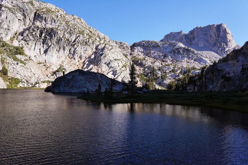
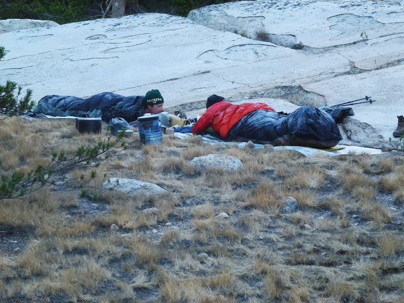
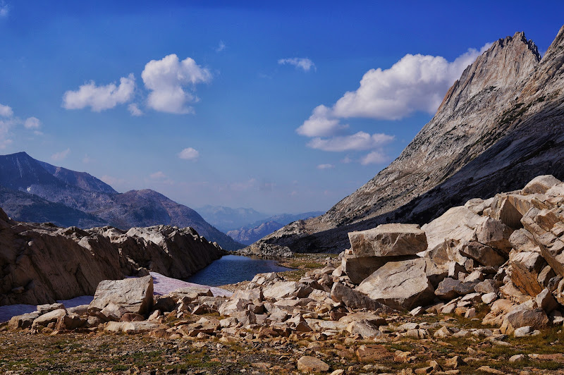
After filling up on the views, we continued towards Spiller Creek and our pre-arranged meeting place, which turned out to be another wonderful expanse of granite that we had to call home for the night. The horse packers may prefer dirty, dusty, wooded campsites, but really, nothing beats smooth, polished granite... at least when you have a good sleeping pad.
We bathed in the cool water, then dried off on warm granite. We were treated with a smoke-free evening and a crystal-clear night.

Day 5: Up Spiller Canyon
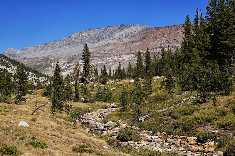
We enjoyed a comparatively warm night and sunny morning, and started up canyon after a leisurely morning.

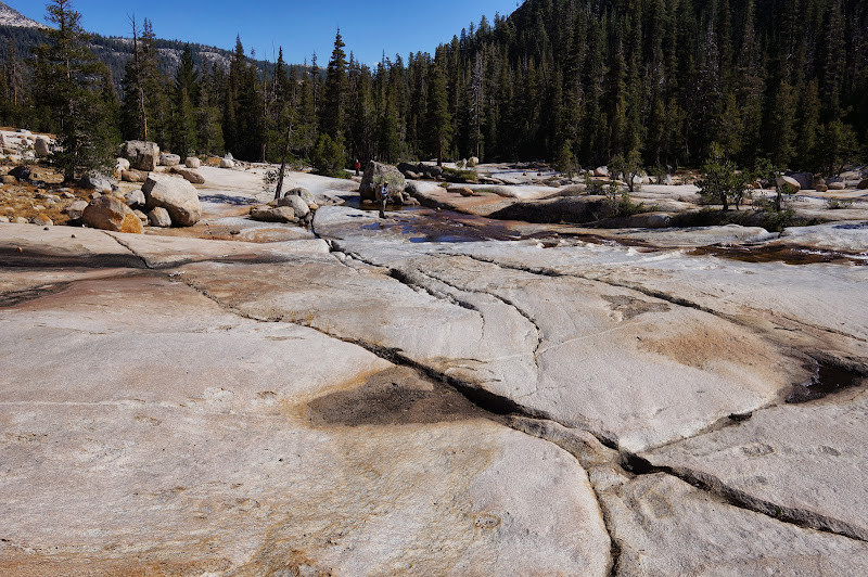
We were treated to numerous smooth granite slabs, pools, and cascades along the lower part of Spiller Canyon.

The grade was gentle and the travel "hands-in-pockets" easy for the most part. While not as deep as Slide or Matterhorn, Spiller Canyon was thoroughly enjoyable.
We stopped for a snack break (and for some, a quick dip), at a trademark flat slabby granite section of the creek.

We slowly made progress towards the head of the canyon, with Whorl Mountain on the left and Virginia and Stanton Peaks on the right marking our progress.
A mile or so short of Horse Creek Pass, a few of us went to check out a small lake beneath Whorl Mountain while others rested below and searched for a wind-protected campsite.
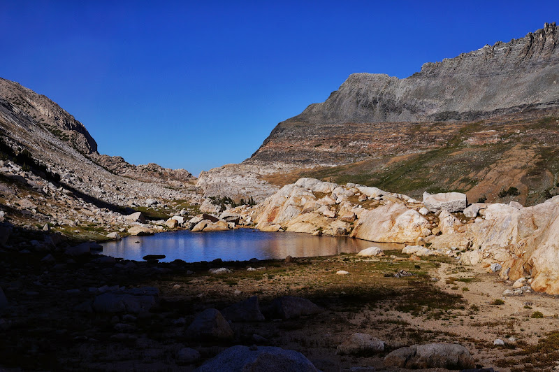
Despite the decent camping and proximity to water, and even a few fibs concerning the "Yosemite bikini climbing team's" presence at the lake, we could not coax the others to climb to it, so after taking some pictures, we returned to the canyon floor and located a reasonably well-protected campsite.
Soon after setting up camp, our old friend the smoke returned.

Yet again, we felt fortunate that we were "one more" canyon to the east, as the smoke appeared to be worse to the west.
Day 6: Down Horse Creek Canyon
As usual, the next day started mostly clear of smoke. The pink one had gone ahead searching for boundary markers while the rest of us climbed the final few hundred feet to Horse Creek Pass.
Near the top of the pass is a small tarn. In the distance, Whorl Mountain looked a bit like Matthes Crest. Matterhorn Pass, to its north, appeared to be a vertical cliff, despite the fact that my wife and I had crossed it several years ago.
After the pink one returned and we took a few more pictures, we located the steep grassy ramp that my wife and I had used years earlier to start the long descent down Horse Creek Canyon.

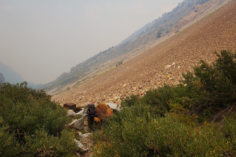
The going was slow as we tried to make sure higher hikers didn't accidentally dislodge one of the numerous loose rocks and cause it to tumble on a hiker far below. Eventually, we reached a faint use trail that we'd follow for the next few thousand vertical feet.

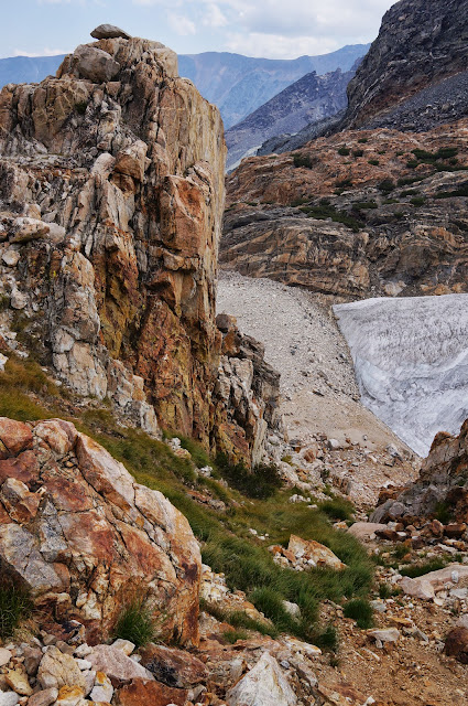
Despite the tedious talus, I found Horse Creek Canyon to be a treat, its multicolored rocks a refreshing contrast to the typical gray Sierra granite. However, the seemingly endless talus was tiring at times, and it seemed that our downward progress was very slow at times.

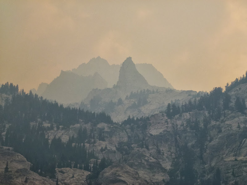
Also, our old friend the Rim Fire smoke made an afternoon reappearance, reducing visibility to only a few miles as we finally left most of the talus and approached the flatter section of the canyon around 8400'.
As we neared the final drop into Twin Lakes, the prominent peaks surrounding us were barely visible; the opposite side of the Robinson Creek valley was not visible at all.
Along the final switchbacks, we did get some nice views of Horsetail Falls; a bit later, after navigating the numerous poorly-marked trails and roads of Mono Village, we were again at our car, where nearby, despite the thick smoke and warm daytime temperatures, an RV camper was enjoying a big campfire.
We met for a final meal together of burgers in Bridgeport before parting our different ways. Despite the smoke and changes to our original itinerary, the trip had been very enjoyable, and we explored two exquisite trail-less canyons in Yosemite. The campsites in both lower Slide and lower Spiller canyon are certainly worthy of a future return, and I wouldn't hesitate to stroll again up or down Spiller Canyon. After dinner and final good-byes, the burro and disco king would leave the backcountry, but the pink bird, my wife, and I had plans further south, far away from the smoke, in a place that would hopefully be almost as good as Yosemite--well, except perhaps for one of the uglier lakes in the Sierra.
More Pictures
 Burro brought two cans of fuel which also caught my attention. We use a JetBoil Sol Ti and we boil about 8-10 cups of water/day for the two of us. I think we used up less than half of an 8 ounce can for the entire 6 day trip.


