
On Sunday, we hiked up to the Diving Board. We had intended to take the route documented by wherever up the gully to the west of Mt. Broderick but the slab above Emerald Pool look slippery and I wasn't in the mood for a swim. We went up the gully between Broderick and Liberty Cap instead.
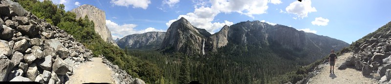
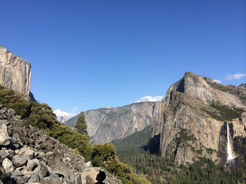
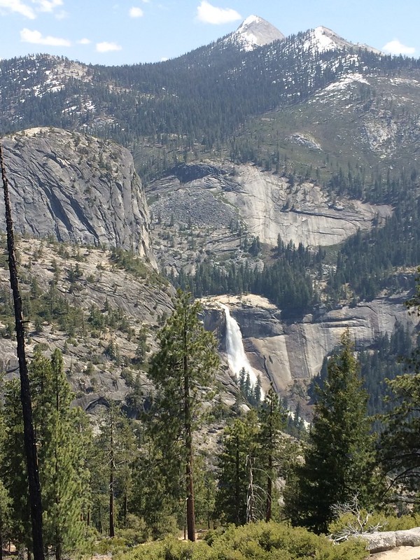
Had great views of Nevada Fall on the way up

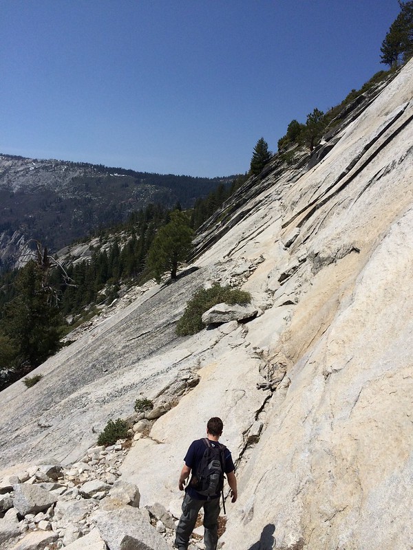
This huge detatched slab was a fun feature of the gully. The was a mostly shrubbery free line through the entire length of the gully.
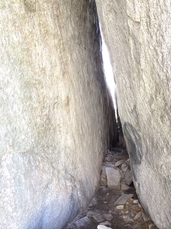
After exiting the top of the gully and climbing up past Lost Lake, we reached the exposed traverse. There was really only one move, and it wasn't as bad as I expected.
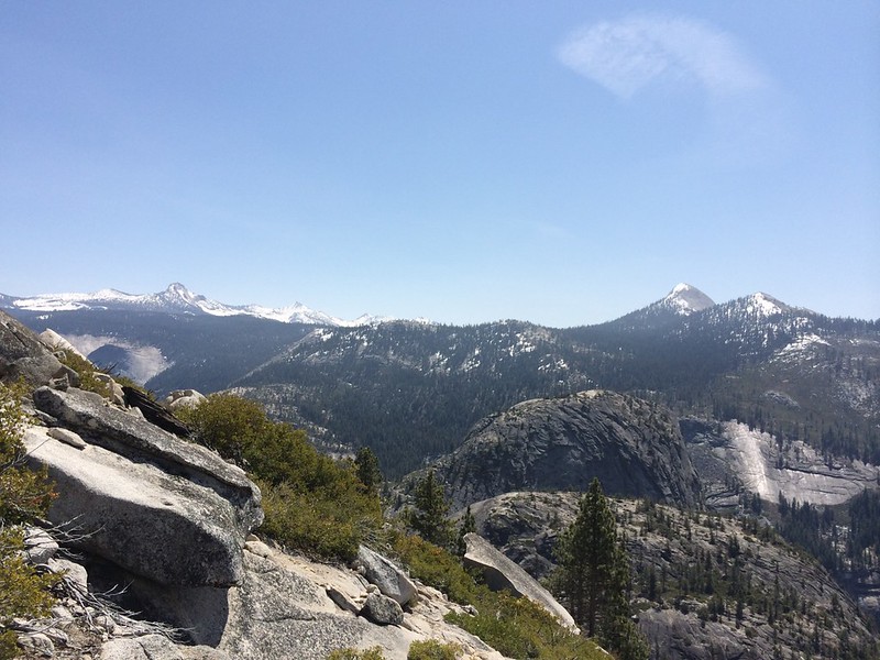
Higher up views of the high country opened up. I really want to climb Mt. Clark...
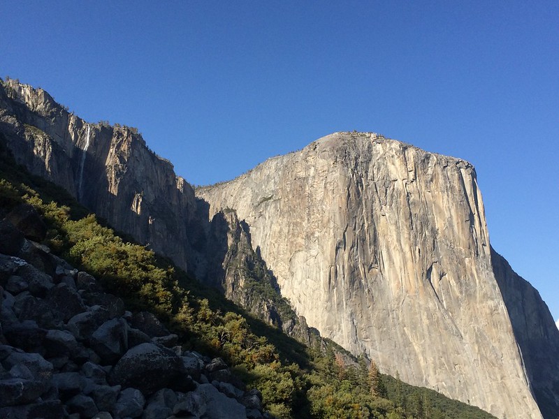
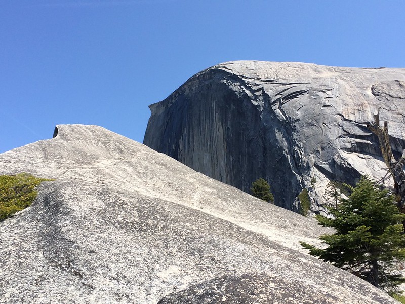
The NW face is huge from here
And the view into Tenaya Canyon is awesome

On the way down, we decided to try a different descent line further west. Despite finding a use trail for part of the descent we eventually got into annoying small-cliff terrain and spent a lot of time on steep, shrubby slopes. The views of Nevada Fall were nice though.
We finally hit the gully west of Mt. Broderick around 6000 foot level and then thrashed around for a bit climbing back up and out to Lost Lake. Descent from there was the standard trail back to the JMT and then down the Mist Trail. Looking at the topo more closely, it looks like there was ramp somewhere east of where we descended that would have been easier. It was not readily apparent when we descending - the joys of descending a slope before ascending it.
Thanks to everyone who posted route descriptions and reports for these two hikes. They are among my favorite so far in Yosemite Valley.
Here's the GPX for Diving Board. It went a bit crazy in the Liberty Cap Gully, but should otherwise be fairly close to our actual lines. http://www.hillmap.com/m/ag1zfmhpbGxtYXAtaGRychULEghTYXZlZE1hcBiAgICAr5f2CQw
Edited 1 time(s). Last edit at 04/23/2014 11:46PM by edg.


