
We had managed to contact the H party the previous evening and ask their interest in doing the fourth--and final--Sierra High Route segment. J was interested, which was reconfirmed the following morning.
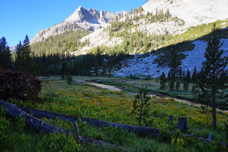
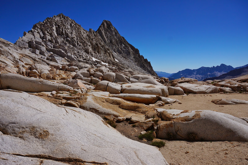
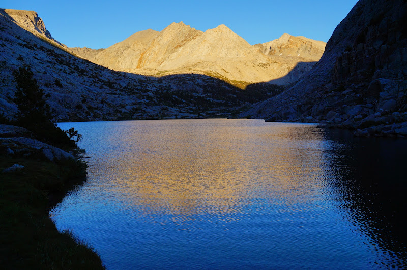
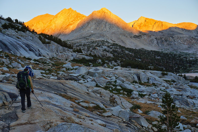
The early morning contrast between the sunless bottom of LeConte canyon and the white peaks around it was striking.

Having seen Big Pete Meadow, it appeared that Little Pete was in fact larger.
We soon reached the Bishop Pass/Dusy Basin junction. JKW, M, and L continued down towards Palisade Creek and P headed up towards Bishop Pass, while A and I waited for J, who was maybe 30 minutes or so behind us.
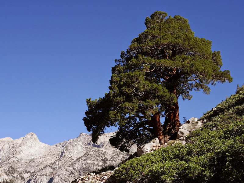
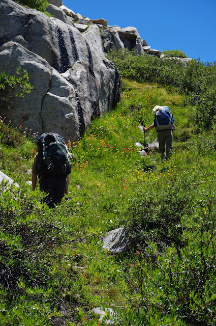
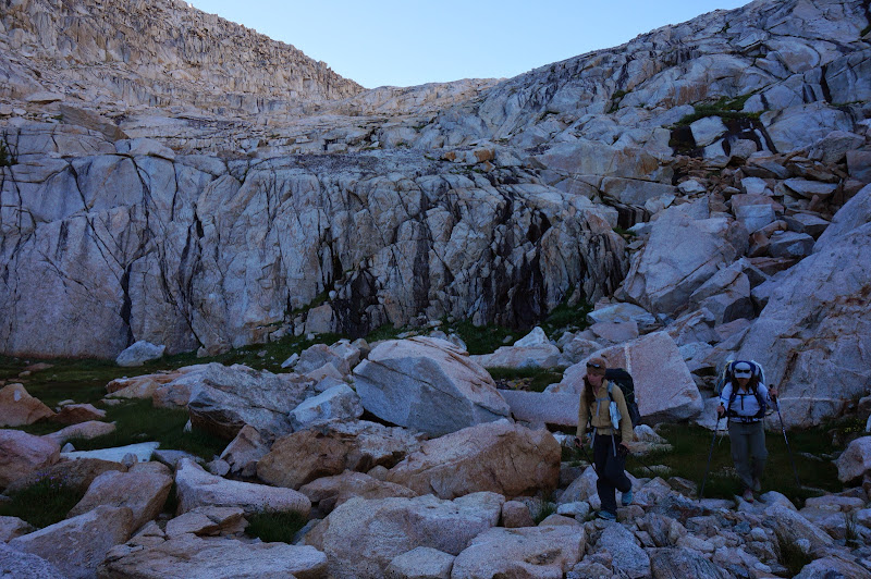
Once the SHR group was together, we started the climb to Dusy Basin, passing many large, majestic Sierra junipers along the way.
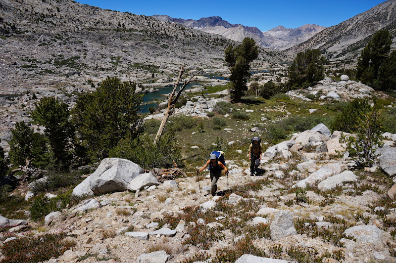
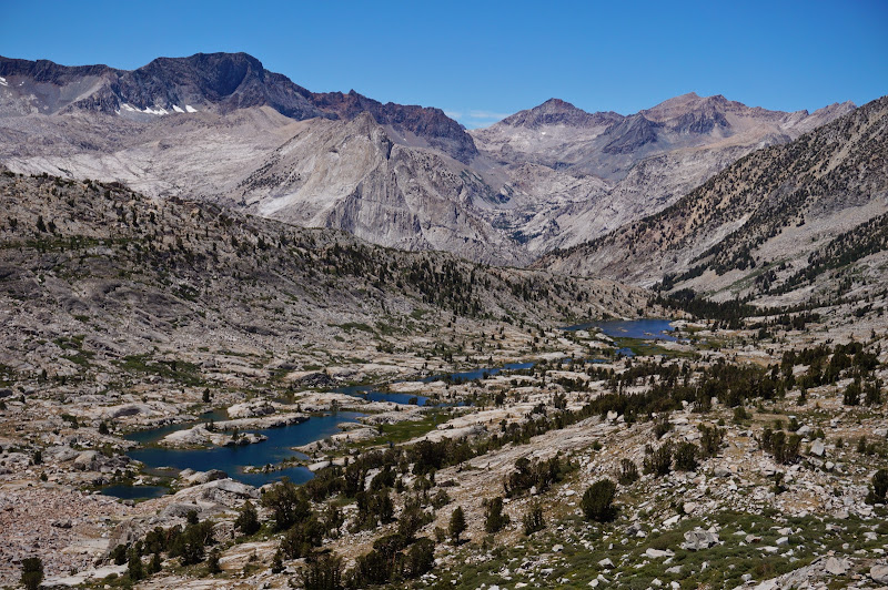
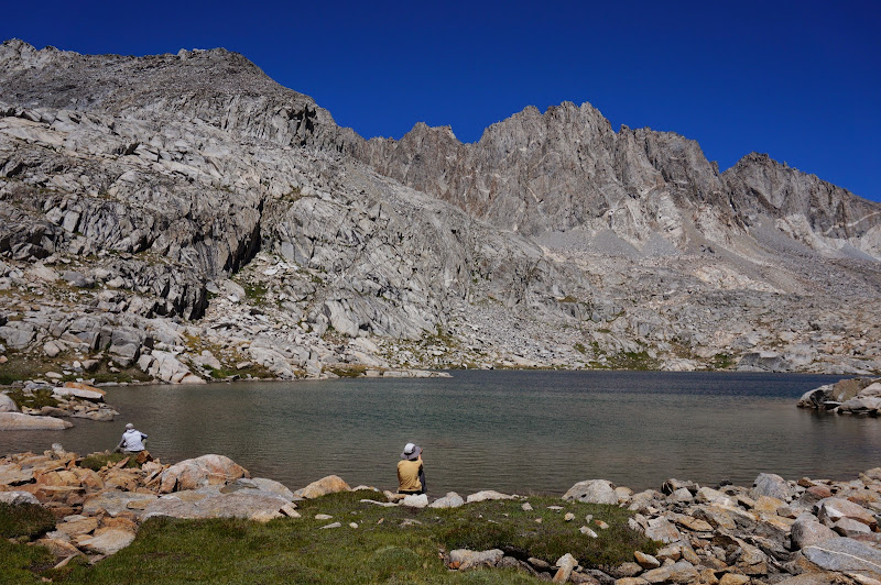
Eventually we reached the lower lakes in Dusy Basin, where we stopped for a snack, to load up on water, and to scout out our route to the first of today's three passes: Knapsack. While some of the route was hidden by an intermediate ridge, it looked mostly straightforward; the Roper book warned only of willows.

The terrain along this chain of lakes was intricate in places, but there were no serious obstacles, and things that from a distance looked like they'd be challenging were much less so once we reached them.
We slowly wound our way to the top of the pass. Unlike previous days, there wasn't even a hint or suggestion of rain in the sky.
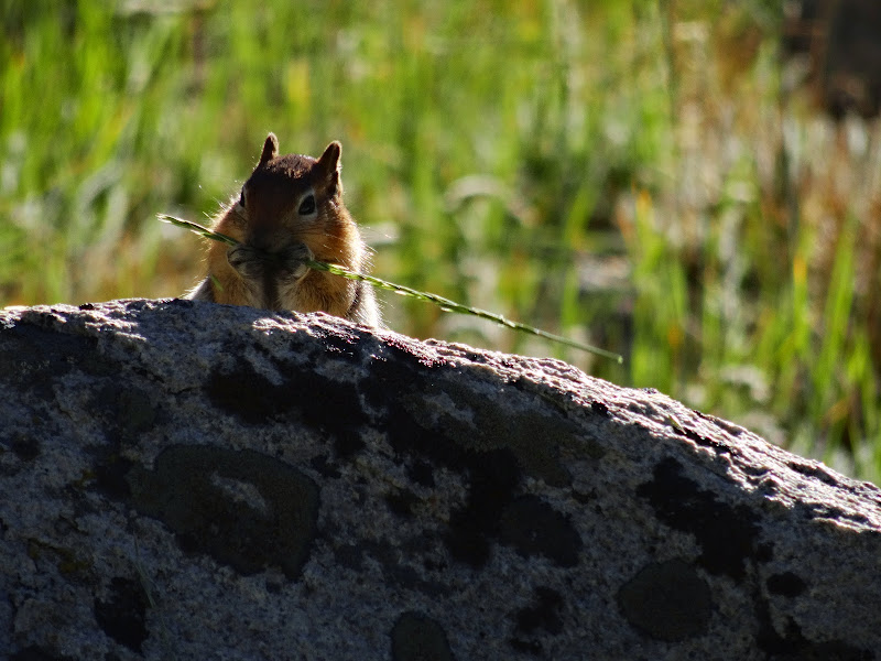
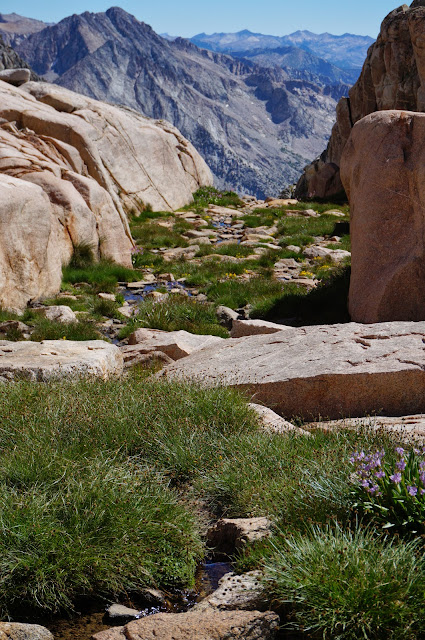
Despite being overall rocky, there were a few nice pockets of lush vegetation, even high up.
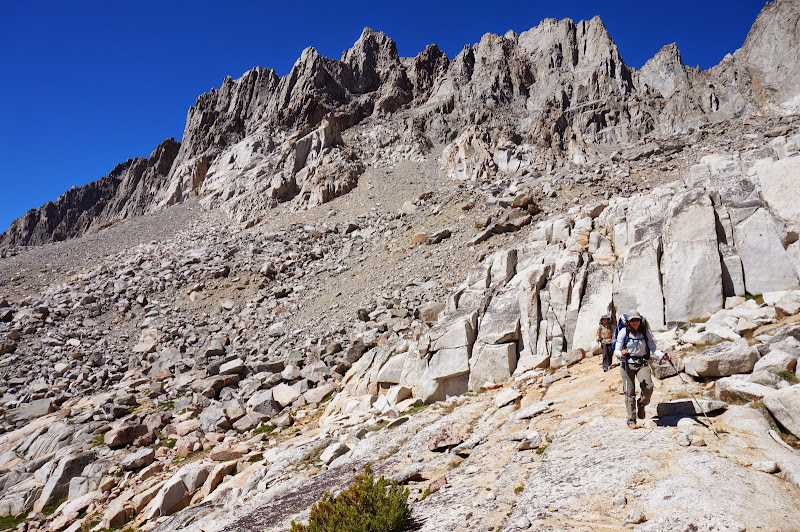
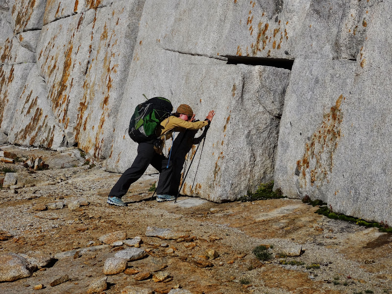
We had to navigate a few talus fields, but the final few hundred feet of climbing was over granite slabs.

The top of the pass was quite windy, so we didn't spend too much time there, but we did look down towards Palisade Creek...
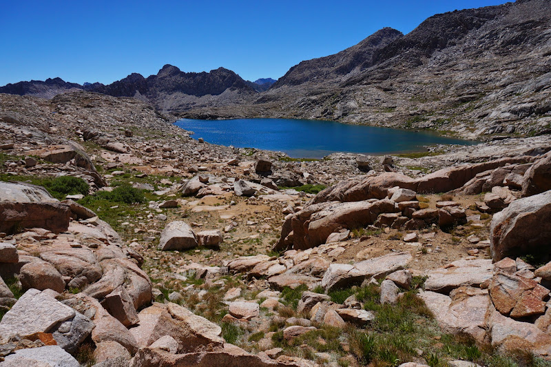
...and also checked out our next interim destination: the second-largest Barrett Lake in aptly-named Palisade Basin, which appears to be surrounded by tallest Palisade Peaks: Thunderbolt, North Pal, and Polemonium.
After passing the smaller lake, we continued to the larger one, which is about as far west in the basin as the Great Pink One and I had traveled a few years ago. Back then this lake had looked dark and uninviting; with blue skies and a mid-day sun, it was quite pleasant. (Also, as we had suspected, the camping was in fact quite good west of this lake--plenty of flat, open granite shelves...)
We circled around the lake to the north on a faint path, then started the climb to the intermediate pass between Knapsack and Potluck Passes, where Pinkie and I had managed to get our shelters set up moments before a storm hit.
There were a few steep sections here, and the routefinding wasn't always straightforward, but we eventually reached the top of the intermediate pass.
The small stream that we'd used for water a few years ago was still flowing.
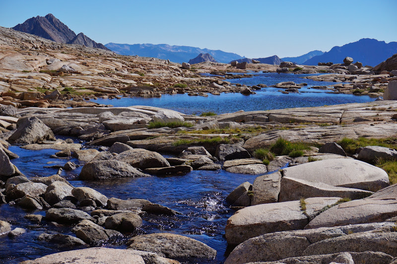
The terrain from here to Potluck was more straightforward--mostly a gentle traverse and climb on open granite that passes a few nice tarns along the way.

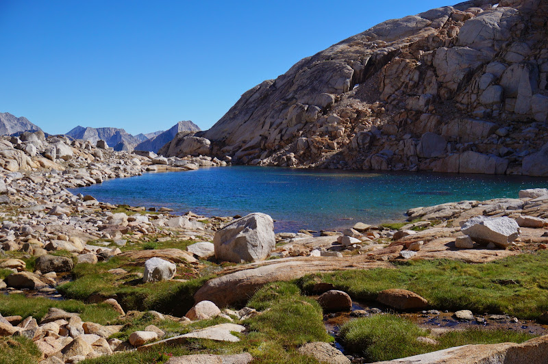
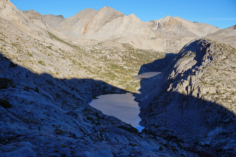
At Potluck, we could look down it's steep eastern side to the large lake on Glacier Creek; past that was our final pass of the day: Cirque.
We had no problem finding the "hidden" ledge system that leads to the scree slope; in fact, there seemed to be more "improvements" than I remember from a few years ago. We carefully made our way down the scree slope and were soon at the small lake at the base of the pass.
We chose the Chick-On/rusty bucket route (around, not over) to the large lake, whose outlet ponds appear to be hanging over the distant valleys and canyons. Far away was Windy Ridge and the Cirque Crest.
Despite the steady breeze, we stopped for a late afternoon dip at this lake. We could have stayed longer, but we still had one more pass to go--and a long descent after that to get to the rest of the group at Lower Palisade Lake, with whom we'd been having intermittent radio contact.

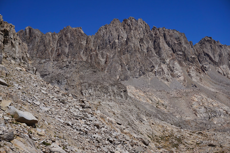
The climb to Cirque Pass was mostly working granite ledges and backtracking whenever we reached a dead end.
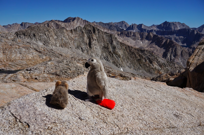
Cirque Pass has its secrets, too...
We spent a few minutes on Cirque Pass before descending.
The long climb down from Cirque was more tedious than difficult, and early on we were friction-descending steep granite ramps. Unfortunately in one place our shoes got damp and we temporarily lost our friction advantage. We encountered maybe three or four minor cliffs, but all could be bypassed on one side or the other.
On the radio we heard that the others were camping between the lakes--where Twinkie-bird and I had seen some nice campsites on flat granite when we'd passed though. We could see that they were still in the sunlight, unlike everyone else at Palisade Lakes camping near the outlet.
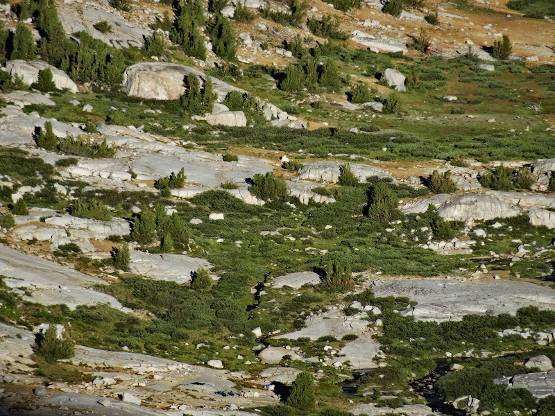
Actual surveillance footage: you can see the rest of our group middle bottom.
Eventually we reached the trail, and just past this reached the lake, where maybe a few dozen backpackers were stopped for the night. We still had to circle around--and climb above--the lower lake before dropping to our much more secluded campsite.
We finally arrived just as the last bit of daylight faded.
We ate dinner and set up camp in the dark--a true mountaineering finish! The non-SHR party had had a great day climbing the Golden Staircase--not a pass per-se, but still an impressive, steep climb--rugged enough that it was the final segment of the current JMT to be finished. It was too bad that we would be spending so little time at this ideal location. But, despite the climbing we had all done today, we would be facing two 12,000' passes tomorrow. Fortunately, we were able to sleep very well and get rested at our all-too-temporary home.


