

Morning came all too soon, especially after the full day of hiking everyone had had the previous day. We finished breakfast, packed, and were on the trail long before the sun hit us, which was far above upper Palisade Lake.
Mather was the first of two passes we'd cross today, so we took it slow and steady. We didn't have a definite stopping place in mind, so the day could be anywhere from 17 - 20+ miles.
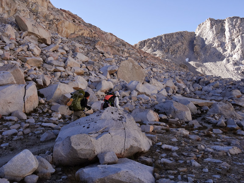
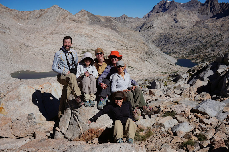
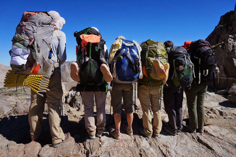
We stopped for the obligatory snack and pictures at the top of the pass. I think LaSportiva denied our request for sponsorship since our shoes because of the extensive wear and tear our shoes were showing.
Smells like cupcakes and crow...
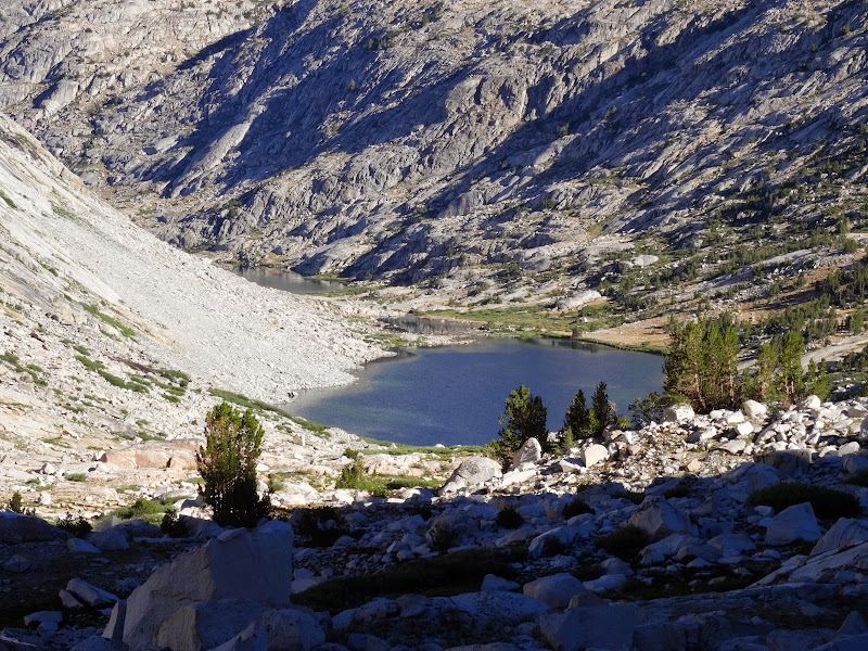
It's always impressive to see how far away Pinchot Pass appears from Mather; it appears to be days, not hours, away. As we faced this next hurdle we strolled through lovely Upper Basin; the clear sky was in stark contrast to my last visit here, when I was being heckled for my neon hi-viz pack cover.
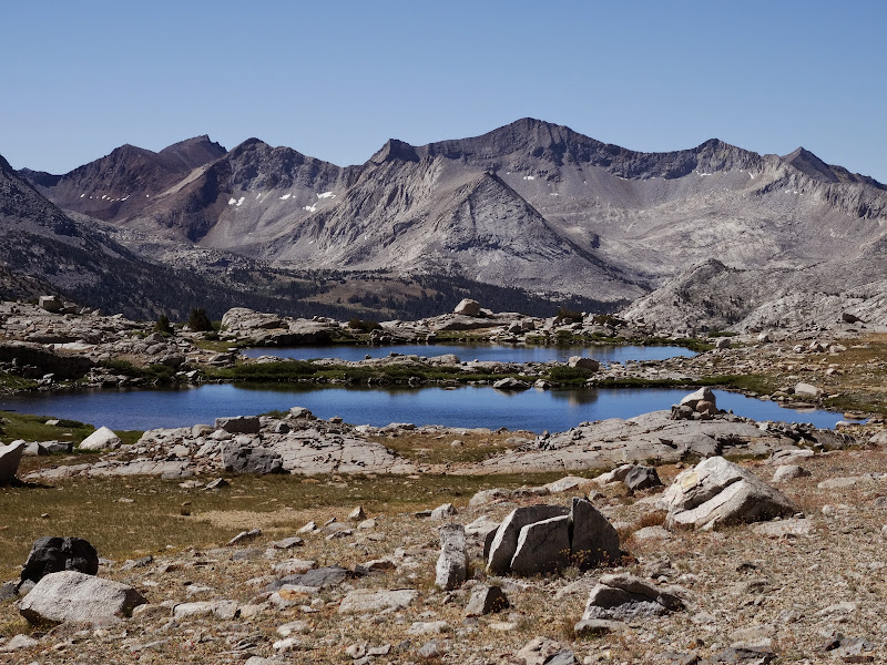
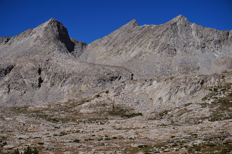
It was also humbling to see the vertical notch that is Frozen Lake Pass, which appeared to be anything other than passable from the north. (Some twit left a note in the register claiming that the pass was a "piece of cake"...)
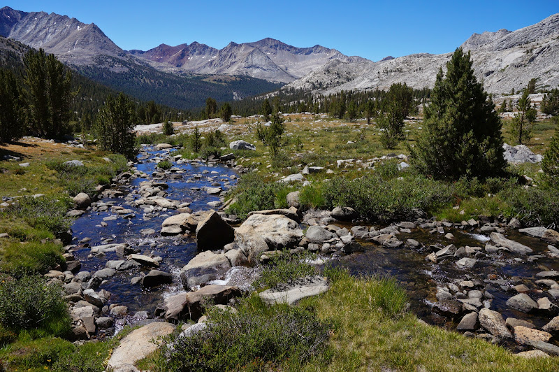
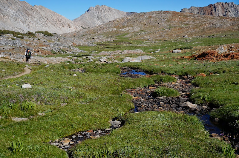
We stopped for a quick dip and snack at a particularly nice spot where the creek flowed through a pleasant meadow.
As always, we had to leave this place all too soon, and after a bit more downhill, we started the long climb to Pinchot Pass, the contrast with Mather Pass quite apt given the men the two passes were named after. Fortunately in the High Sierra the contrast between Pinchot's Forest Service and Mather's Park Service is not very pronounced...
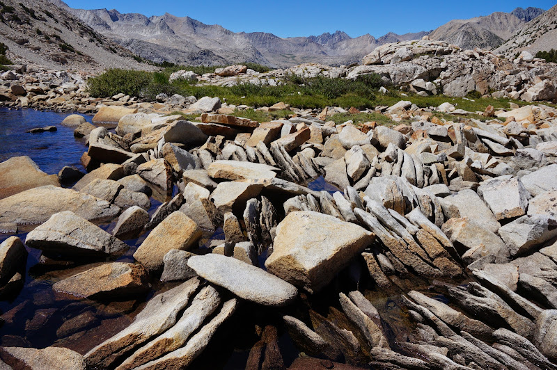
We stopped for a break at Lake Marjorie near where there was some particularly fractured granite, the exfoliating layers standing on edge.
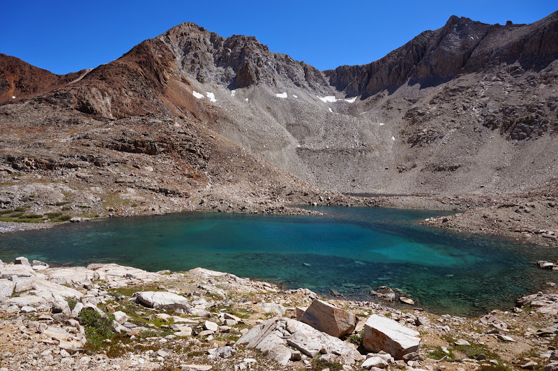
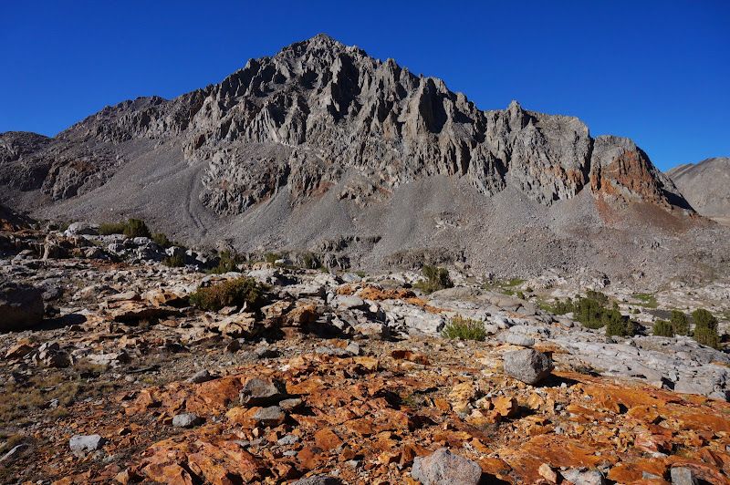
The blue waters of the large lake above this one contrasted with the red rocks surrounding Pinchot Pass.
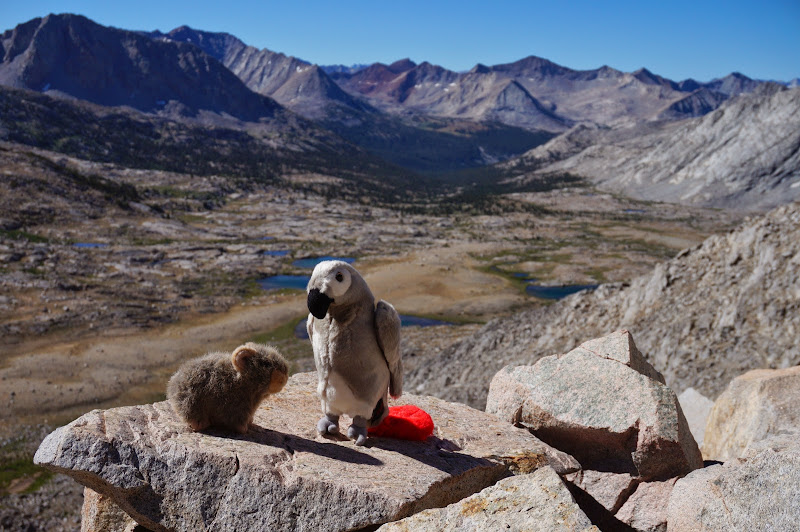
At the pass, we waited in vain for our Osprey sponsorship check; alas, it seems they already had most of the JMT hikers as customers, so they passed on the opportunity.
We didn't stay too long at Pinchot as we still had several miles to go. A hiker who had been there when we arrived was seeking a level of quiet and solitude more appropriate for the High Route than a major pass on the JMT.

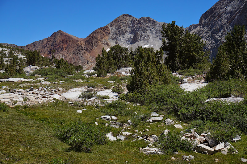
The terrain south of Pinchot is very colorful by Sierra standards--bright green meadows among red, grey, and white mountains.
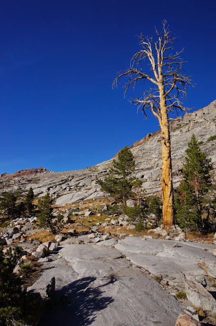
Once at the Sawmill Pass trail junction, we started looking for a campsite--we knew that there were no really good spots* past here until Woods Creek "village". When A and I had camped at Sawmill in 2008, we took the first not-very-spectacular campsite we found. A had remembered seeing better sites across the creek the next morning, and sure enough we found a large flat granite slab with decent views--and few mosquitoes. Our perfect campsite streak continued: we hadn't camped at an unsatisfactory site the entire trip.
The H party was just behind us, but we had lost radio contact with them; the next morning we found out they had camped nearby.
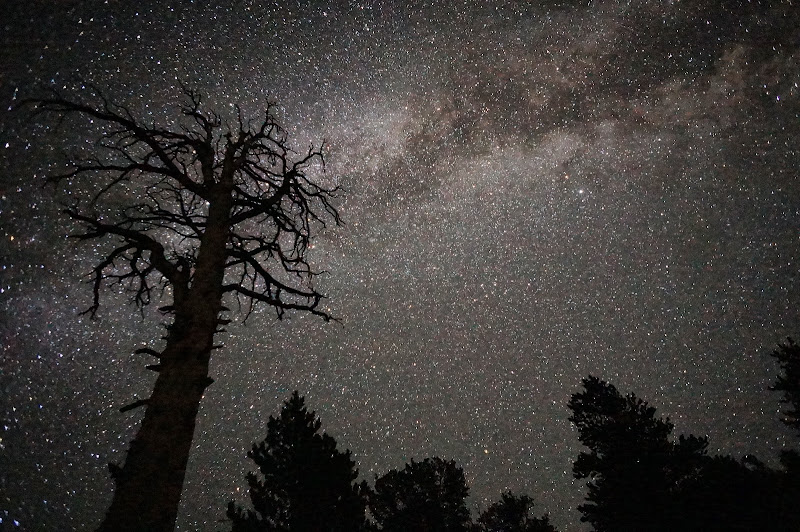
We were treated to another mild, clear, and dry night, but for me at least there was some sadness: there were more miles behind us than ahead, and it had been such a great experience that none of us were in a rush to reach the finish line. (Okay, A was perhaps a bit in a rush to meet up with E--radio handle "Sweetie!"--tomorrow...) Four days, three passes remaining... It would be over all too soon.
* Remember, we're campsite snobs. There are a few decent forested sites, for those who prefer to camp on duff under trees instead of upon granite slabs under starry skies.
Edited 1 time(s). Last edit at 08/21/2014 09:12PM by basilbop.


