While we were bopping over Shout-of-Relief, Silver, and/or Bighorn Passes, feeling fortunate that we had encountered only the lightest of sprinkles and distant thunder, farther to the north a stray lightning strike ignited a fire that smoldered for the next several weeks... until that fateful "wind event" caused it to flare up and threaten Little Yosemite Valley and the JMT between LYV and Sunrise.
The powers that be decided to not let this natural fire run its course, so only a few days after the "wind event", the fire was well under control, and the views from Sentinel Dome towards the north were clear.

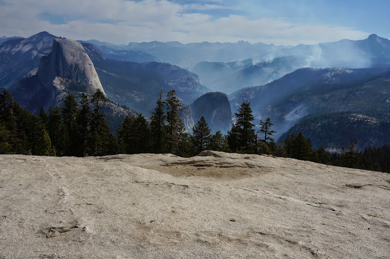
A bit later, from Illilouette Ridge and towards the Merced River's canyon, there was more smoke..
The Half Dome trail had been recently opened, and while those on the summit were not to be treated to a helicopter ride, they had front-row seats to watch the helicopter that was slurping water out of Merced Lake and dropping it on the fire.

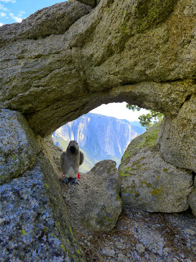
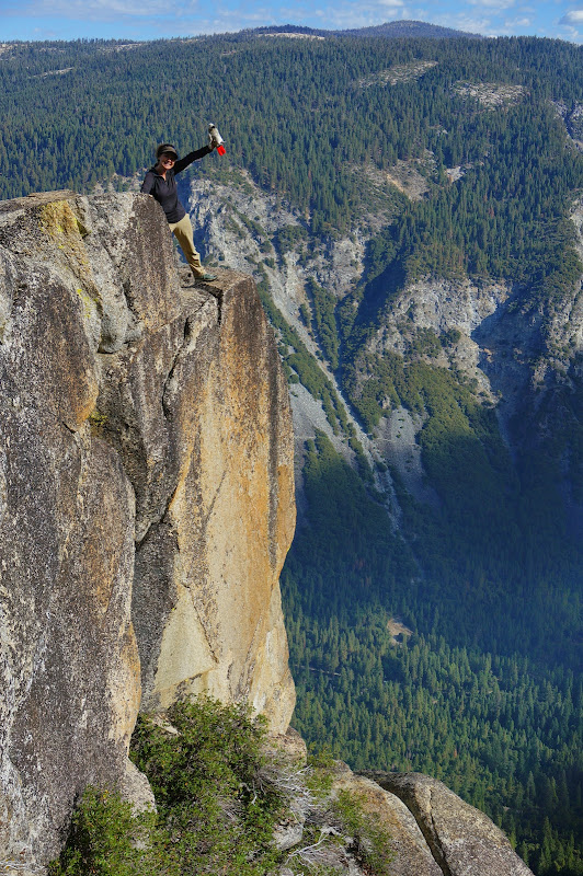
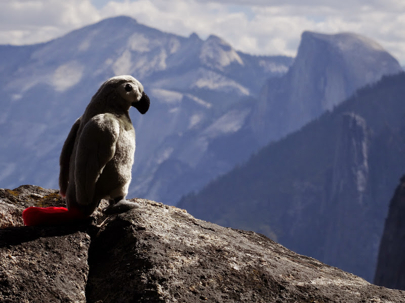
Of course, no tour of Illilouette Ridge would be complete without an investigation of some not-quite-historical artifacts.

Strawberry Shasta, Chocolate Milk, and Bud--anyone want to find out if this is a decent cocktail...?
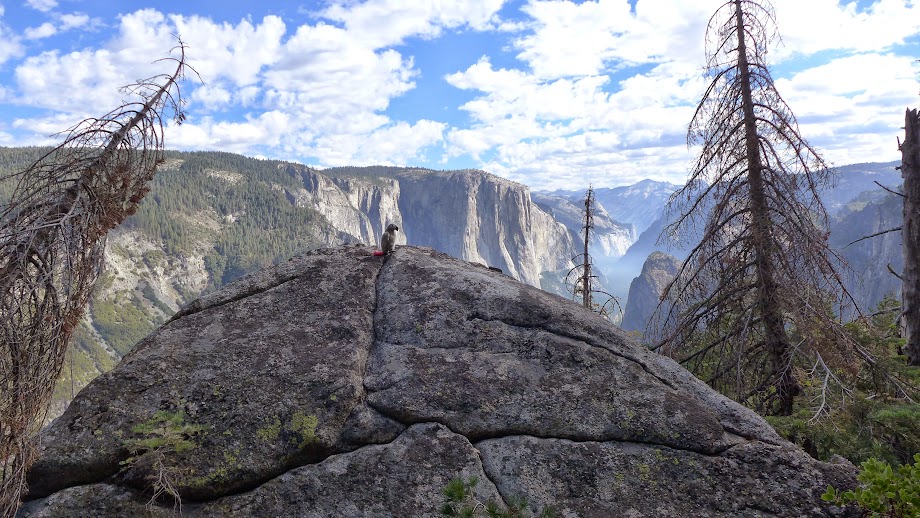
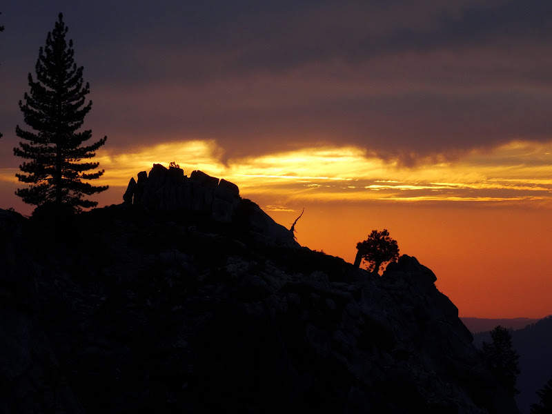
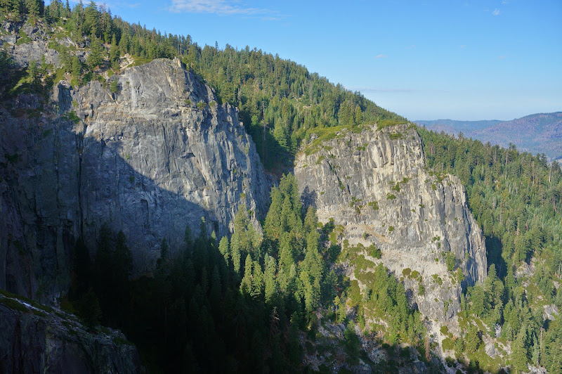
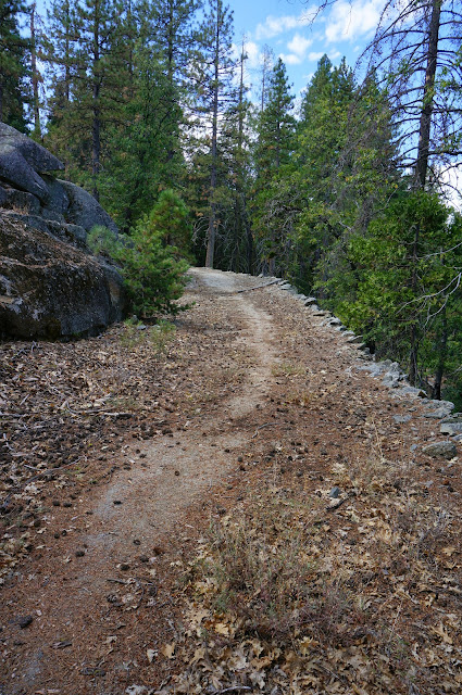
After bopping around Illilouette Ridge, we headed over to Summit Meadow and worked our way to Dewey Point, where we arrived in time to catch the last evening sun on Leaning Tower.
All throughout the day, helicopters shuttled gear to and from Badger Pass, and water to and from Merced Lake.

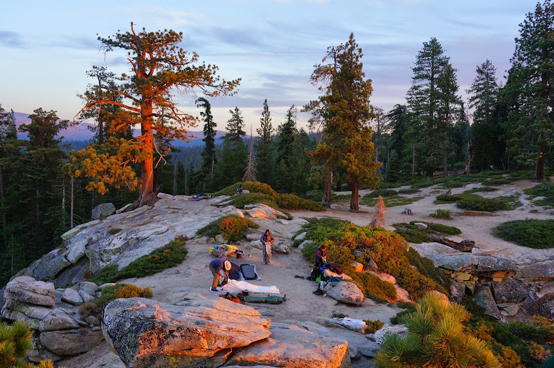
We enjoyed a nice dinner during the very mild evening at Dewey.

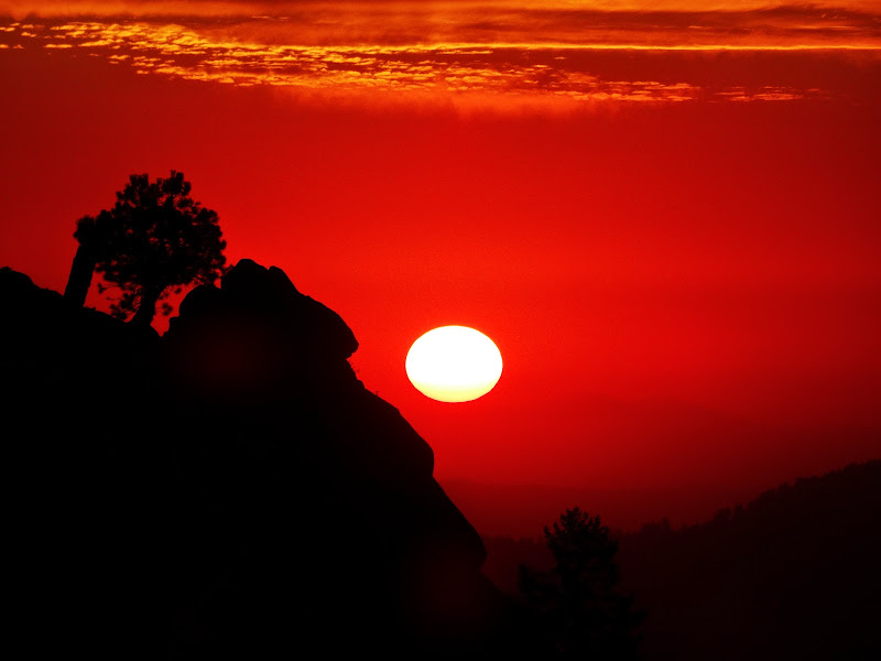
The sunset was quite spectacular...
... just as the last light left the valley.

There was no rush to set up "camp", so we took our time.
The sun eventually sat over distant Mt. Diablo, and soon thereafter we were asleep.
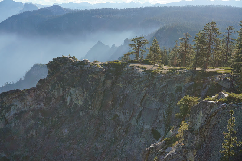
The next morning we were awakened by a group that had arrived to catch sunrise from Dewey. A light smoke filled the valley.


After breaking camp our group split--one party ostensibly would take the Pohono Trail down, the other would go back to the trailhead and drive the cars down.
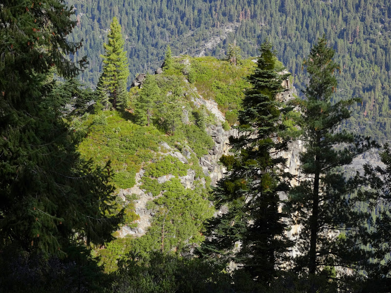
Of course, we spent very little time on the actual Pohono trail; instead, we daled around checking out various viewpoints--a few on-trail, but many off.

Crocker and Stanford were well-signed, but once past Meadow Brook, we entered the land of much Inspiration. A pair of trail signs hinted at a spur long gone--perhaps to the original Inspiration Point, Mt. Beatitude, or the Standpoint of Silence. This source suggests this was the original Inspiration Point, and fortunately we had a few "dull clod of a soul"-types to check out the view:
(From earlier: the viewpoint above is the "point" 1/3rd of the way from the left towards the top; Old Inspiration Point is the one 1/3rd of the way from the right, middle:
 )
)We bypassed Mt. Beatitude/Old Inspiration Point since the trail long ago cut through the shrubbery had long ago disappeared. (The source above seems to get the directions wrong; Old Inspiration Point being 1/3 mile northwest of Inspiration Point "Classic".)
After a brief stroll along the trail, we left it again to locate another old viewpoint, the one pictured on p.2 / Fig. A of the above reference--incorrectly labeled "Inspiration Point" (as if we don't have enough contenders for this title already), but known here as "Lady Rock".
I suspect it's safe to assume that "Inspiration Point" was wherever the guide found a viewpoint free of brush and snow with decent views of the valley.
After some more off-trail fun...

...we arrived at a flat-ish, open-ish area that's known here as "Hill's Point."

After that, we returned to the trail for the final short bit, but decided to follow the Old Wawona Road down to... somewhere. (For those looking for a good old road walk, the old Wawona Road is easier to follow than the old Big Oak Flat Road--which has more open views but is blocked by several large rockfall areas below Rainbow View.)
The old road eventually led us to an old parking area: the current Inspiration Point. One can almost imagine Tunnel/Discovery View in some post-apocalyptic scenario where there are no cars or tourists, just remains of orientation signs, pullouts, and parking areas.

The driving contingent had reached us on radio, but they had left the cooler in the bear box at the trailhead, so while they went back for the cold drinks we decided to walk all the way to Bridalveil. Along the way we passed "Artists Point"--really just a section where the road crosses an open granite slab. Along the road we saw glimpses of a large telecommunications cable, now severed in several locations.

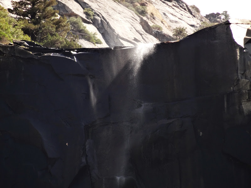
We eventually reached the valley floor, where Bridalveil was just a wisp of water blowing over its brink.
The valley floor was quite warm, and some of us cooled off in what was left of the Merced River. We would of course return the next weekend since there was zero chance of precipitation...
More Pictures