
So when given the chance to explore this new find a week later, I couldn't resist. There is really not much more mystery surrounding the May Lake Mystery Trail: it connects May Lake to the Ten Lakes trail via a high wooded saddle, although most people use it to access Tuolumne Peak nowadays. It was created when the Tenaya Lake High Sierra Camp was moved to May Lake, and was abandoned around 1957 when the current Raisin Lake/Murphy Creek alignment was blasted through. So, why did it seem like there was a southern extension of this trail...?
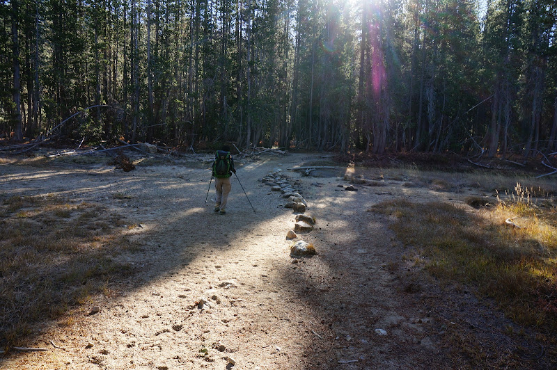
I followed the faint trail of pink feathers down the well-constructed path to another "mystery" saddle, where the Wasoo yahoo first stumbled on this path.
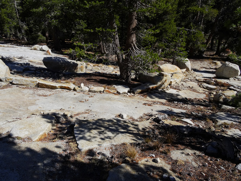
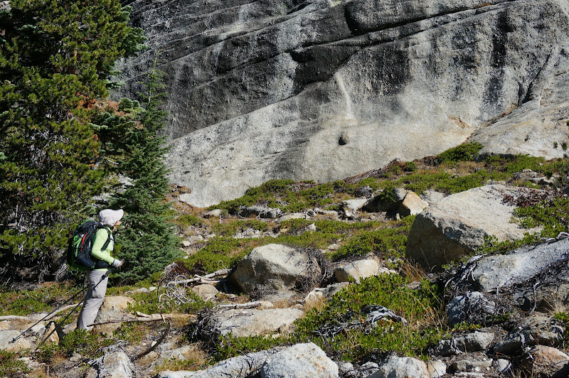
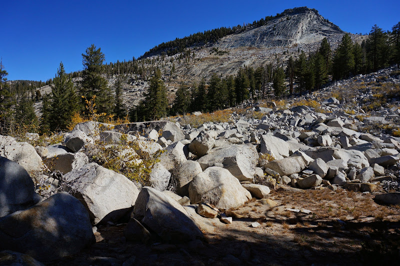
From there south, the trail was a bit harder to follow as it wound its way down ledges and gullies towards, well, wherever it was going.
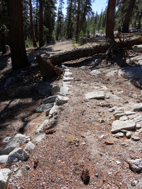
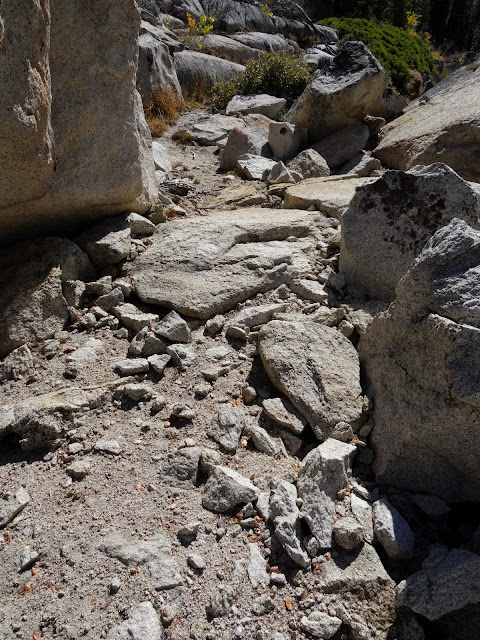
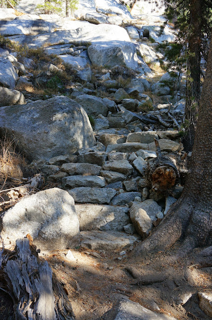
There was an occasional blaze and enough rock work to confirm this was a real, constructed path, not some climbers' access route or "social" trail.
There was some brush in places, but overall the route was fairly easy to follow--perhaps a bit harder than the (original) May Lake Mystery Trail south of the (original) Mystery Saddle, but easier than the segment north of said saddle.
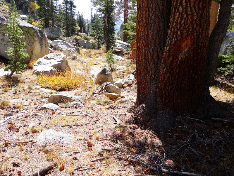
Oddly, despite an estimated 20 years of being "in service" and having been closed for 50 years, one section where granite was crushed to smooth the path looked as if it could have been a year or two old.
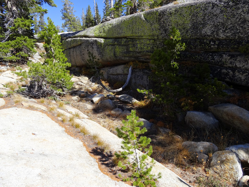
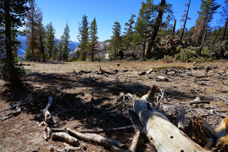
I lost the path where it finally reached a flat, heavily-wooded area.
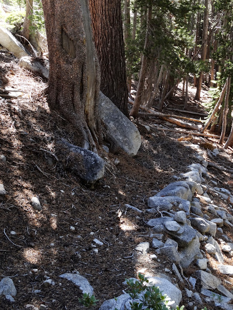
If you find yourself confronted with this view in the future, the trail heads towards the right. You should see more blazes in about 50 yards.
I looked around a bit more for stray blazes or rock work, but came up empty handed. Good news: the trail does continue all the way to the Tioga Road--a fact that a follow-up expedition would uncover weeks later..
Saturday afternoon we checked out a route that's been on our "to do" list for far too long, one with comparatively little mystery surrounding it.
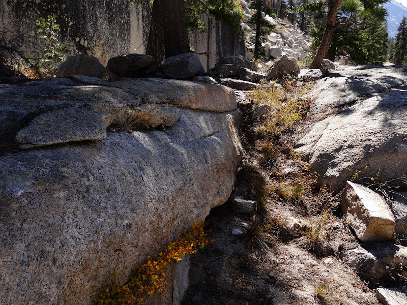
There was a fair number of improvements given that we were not on a trail.
There was no mistaking our route for a former segment of the High Sierra Camps loop, but there are maintained trails that are worse.
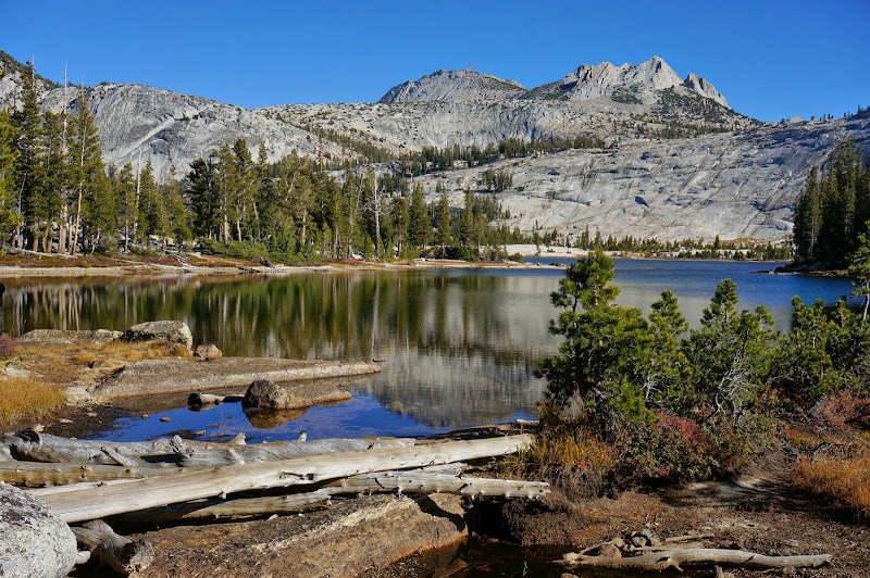
We hung out at a lake for awhile enjoying a very mild October afternoon, but no matter how nice the late-season days in the high country are, they end far too quickly.
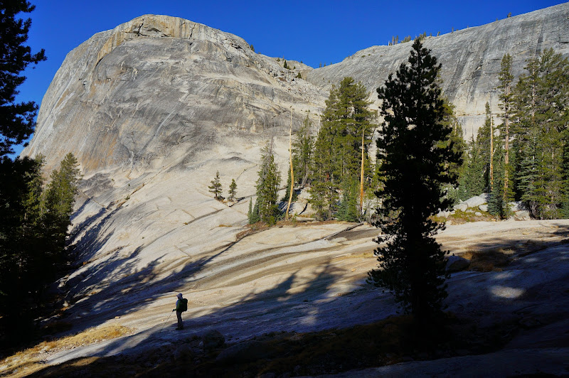
Despite the chill in the air, the late-season light has a certain warmth to it, even as the shadows slowly grew longer as we descended.
During our descent we could see so many places we'd been so recently: Tuolumne Peak, Cathedral Creek and Falls Ridge, Tenaya Lake, the Mt. Watkins area, and even Sentinel Dome in the distance.
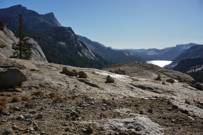
For such a short route, it was an excellent sampler of the Tuolumne region.
We spent the night car-camping in the desert off 395. Despite the relatively warm day, the nighttime was downright cold--we saw as low as 16 degrees in the morning, too cold for our iso-butane canister to make hot coffee. Fortunately, nearby Lee Vining has a few establishments that offer hot coffee and more...
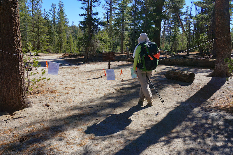
After breakfast and a return to the Tuolumne area, we found ourselves once more crossing Tenaya Creek, where several new signs seem to have sprung up recently.
The various aspens and other deciduous trees were showing their fall colors.
Up to this point we hadn't seen any real evidence of the Meadow Fire, but it was very clear that the Forsyth Trail was closed.
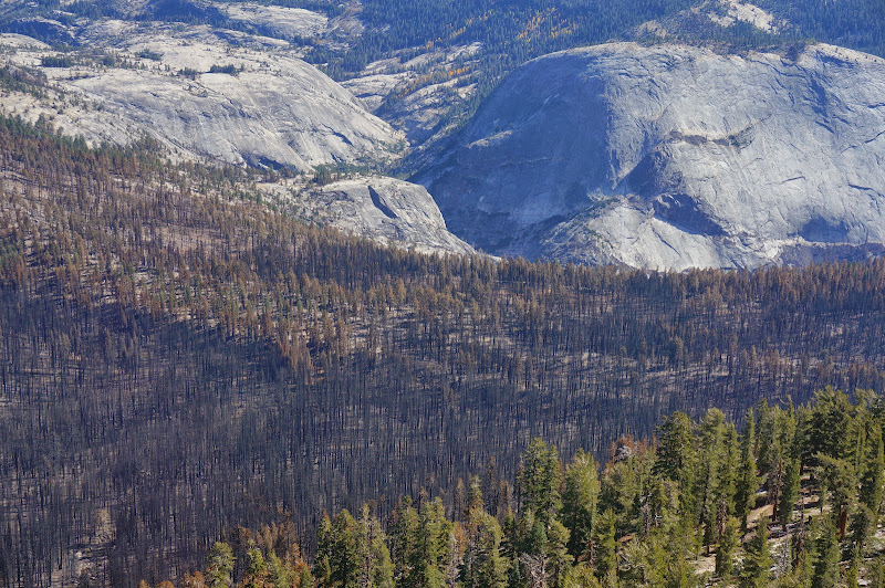
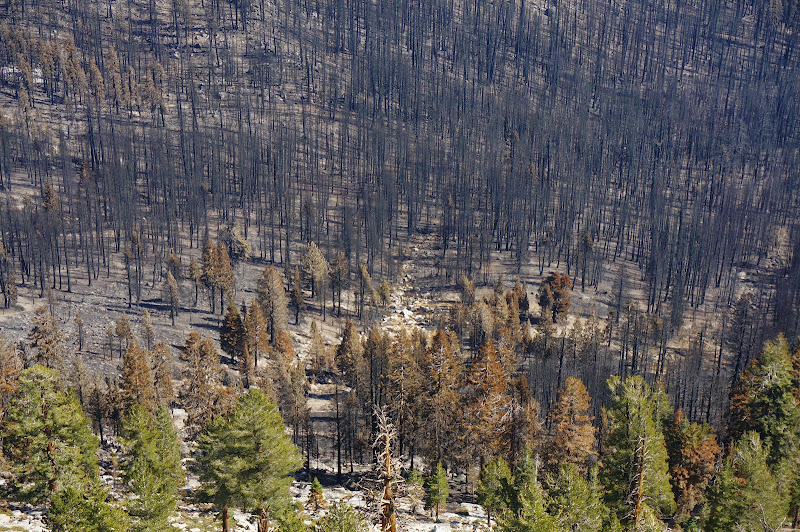
Not far past this junction, we could see the first signs of the fire. Although most trees were spared, the fire did scorch a few, and in a few places had even jumped across the trail. Those earlier fire perimeter maps hadn't been inaccurate.
Below us, where the now-closed trail descended to Sunrise Creek, the devastation was much worse. The trees in the central area had few branches and no needles; around them were trees with brown needles--almost all dead.
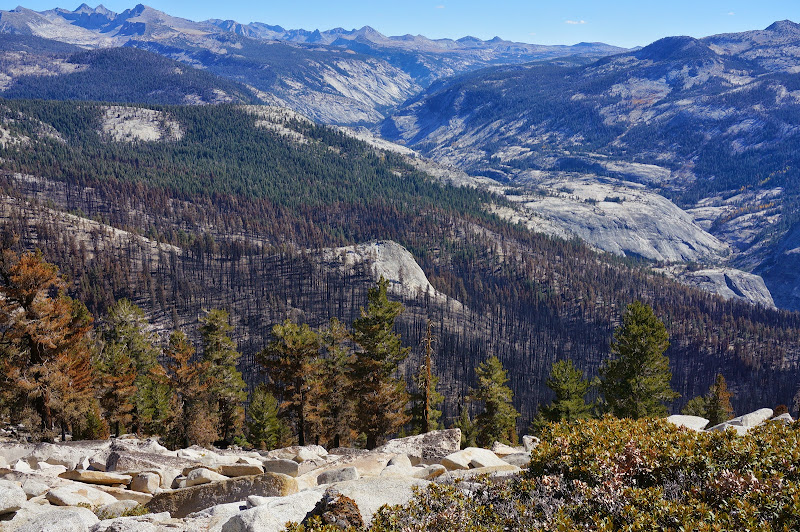
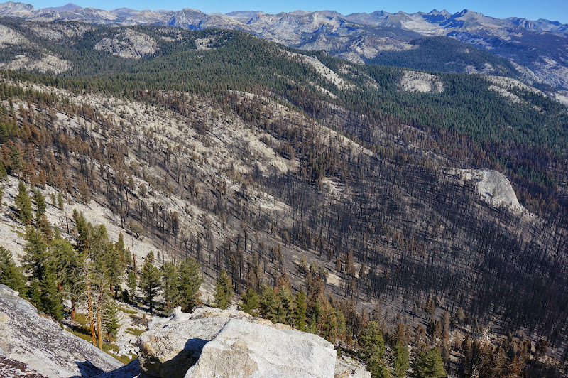
The fire in fact had made it almost to the summit of Clouds Rest--a tree near the bypass trail junction had burned extensively. There is some rationale for having the bypass closed.
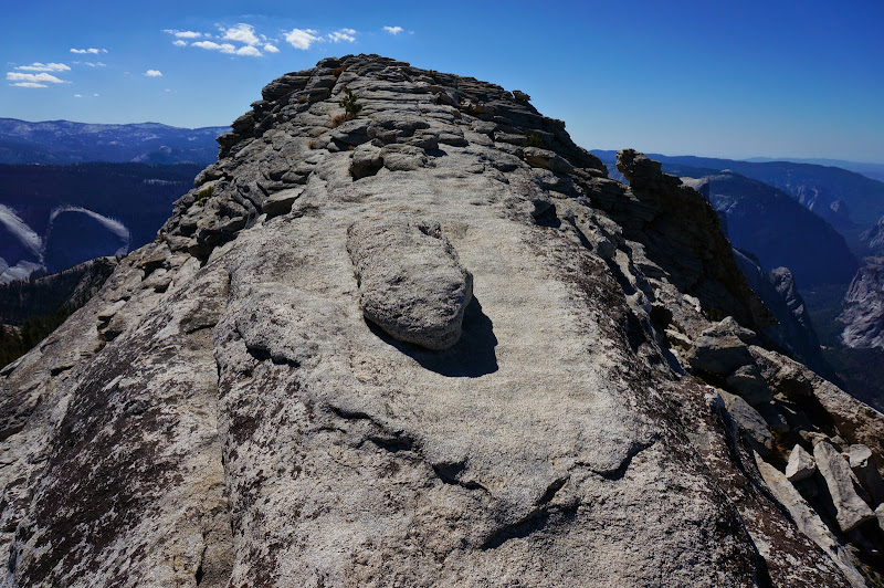
The air was crystal clear as we approached the summit, providing crystal-clear views in all directions.
Previous destinations including Horse Ridge/Buena Vista Crest, El Capitain, and the Dewey Point area were all visible too.
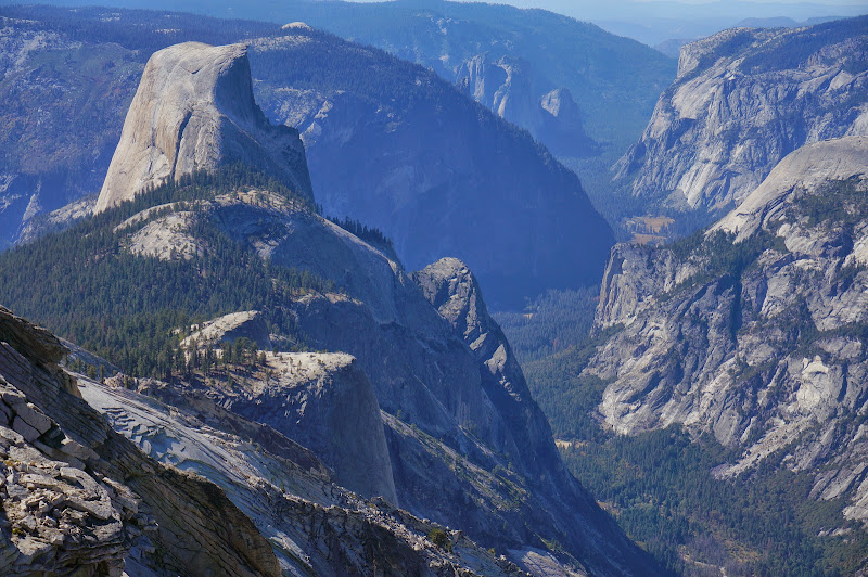
Even the distant peaks appeared sharp and crisp. Photosynth
It was one of those perfect days where we could have spent hours on the summit--but as always we had to leave. Still, it was the perfect way to end a few wonderful days in the high country.
More Pictures


