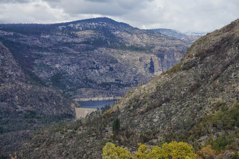
The stroll along the north shore of Hetch Hetchy was pleasant, with mild temperatures and softer evening light.
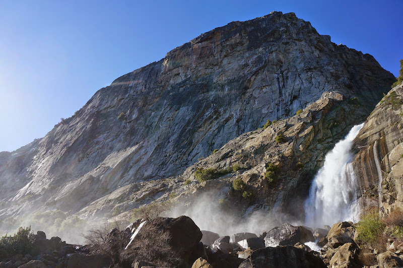
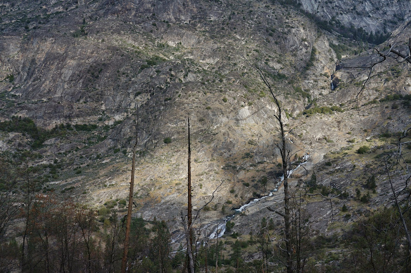
Wapama Falls had a decent amount of water--worrying us a bit that the next day's crossing of Piute Creek might be a challenge.
We stopped for a dinner snack (chicken nuggets!) at or usual "lunch" spot.
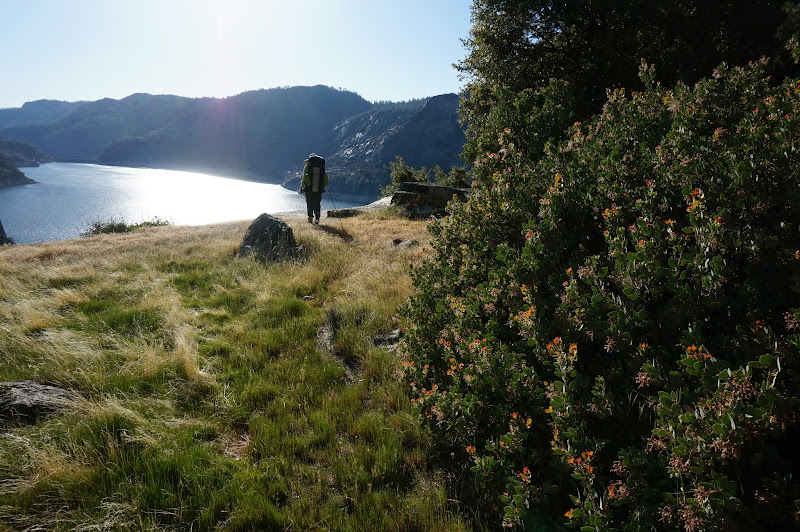
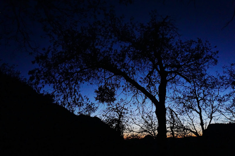
There was a cool breeze all evening, but nothing too chilly. The sun was about to set as we neared the Rancheria Falls area. We heard from the others via radio that they were near the top of Rancheria Mountain, and they provided a water update for us.
We filled up on water at the main camping area, where several groups were enjoying the mild evening. We wanted to take a bit out of the next day's climb, so we continued across the bridge and up towards LeConte Point as the sun sat below the horizon.
We found a small, cozy campsite around 9:00 or so and quickly set up camp via headlamp, Luci light, and eventually the full moon.
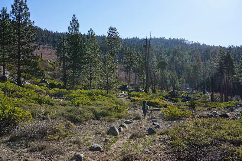
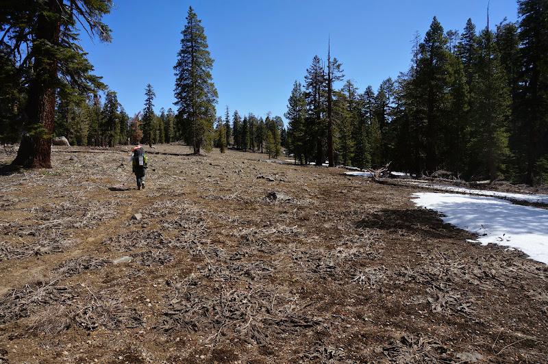
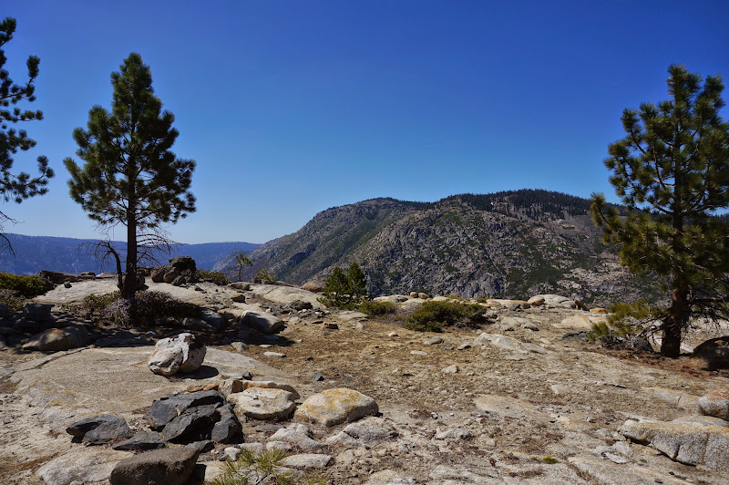
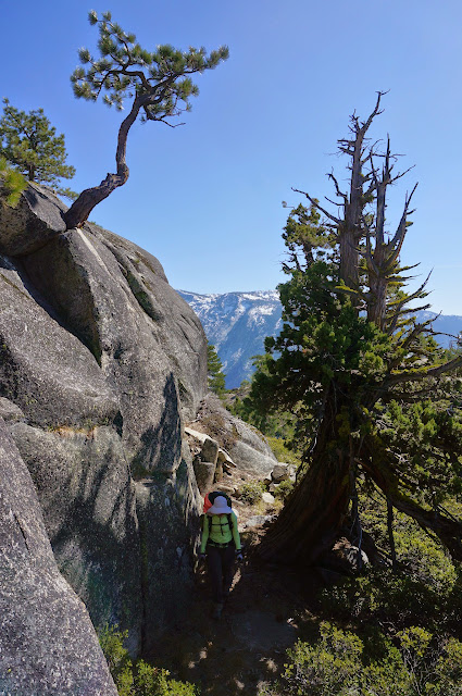
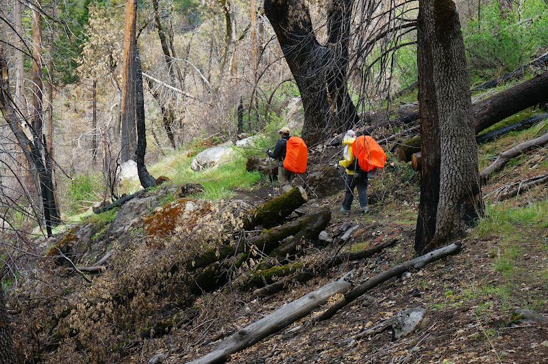
After breakfast and packing, we were on the trail the next morning, working our way up Rancheria Mountain. The trail is mostly well-graded as it slowly climbs through open forest and meadows, with a reasonable number of views south.
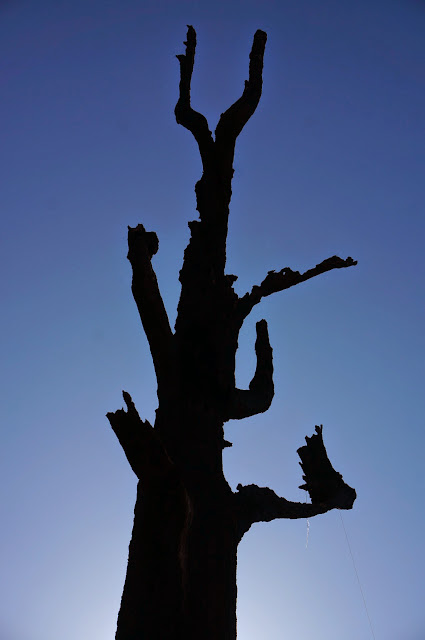
In one burnt out section was a dead tree with the dangling remains of an old bear hang still clinging to a branch.
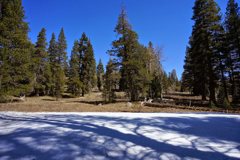
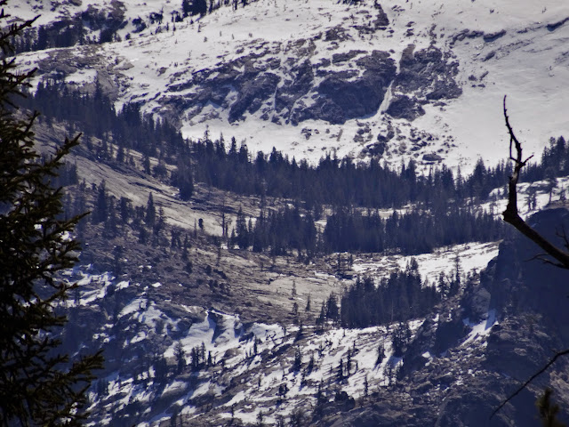
We crossed a small flowing creek around 7700'--the first decent water since Rancheria Creek. Just past this creek we started to see the first snow patches we had seen in quite awhile.
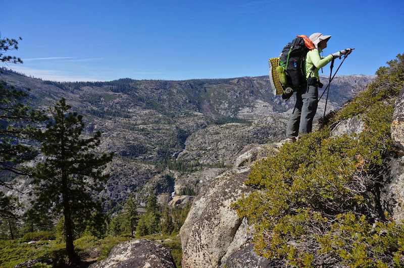
The trail leveled out as we neared the top; although it was generally open, there were fewer views.
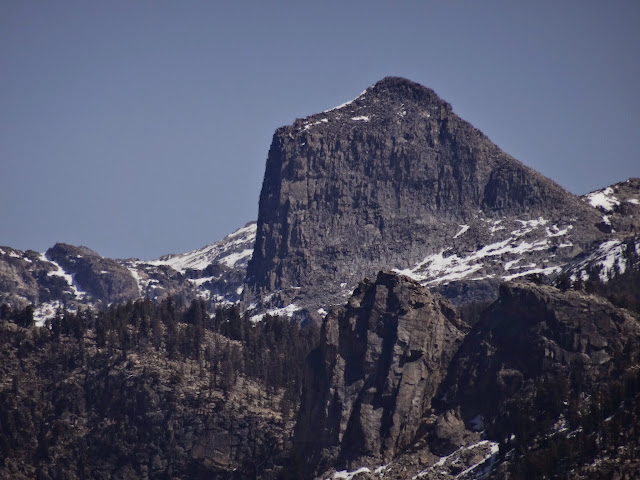
Near the high point we checked out the views from a volcanic formation--not unlike a "devil's postpile"--that we'd been told to visit.
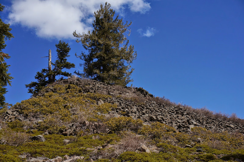
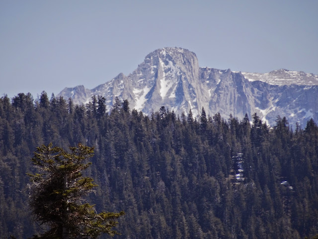
The views were worth the short climb to the top, offering glimpses of landmarks both familiar and not:
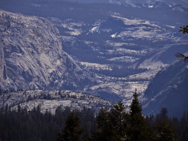
Glen Aulin
Mt. Conness
????
"Colby Valley"
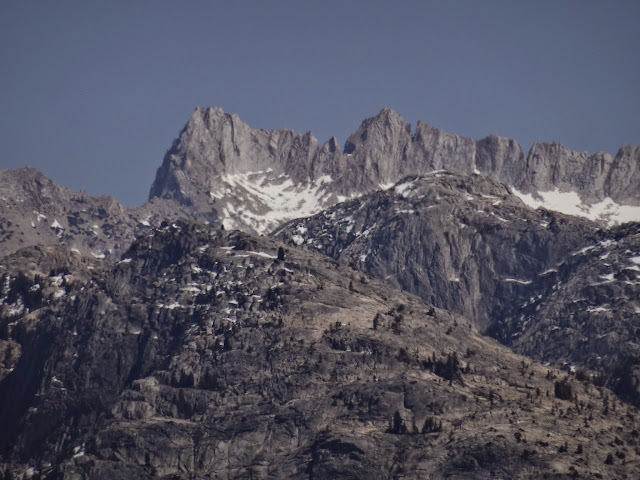
Sawtooth Ridge
Above Pleasant Valley, with Saddle Horse Lake and Table Lake visible
Double Rock
After lunch on the summit, we began the drop into Pleasant Valley; we had learned on radio that our to-be-hiking companions were hanging out at Saddle Horse Lake. The trail descended open, volcanic terrain--the remains of an ancient riverbed that had filled with lava, if I recall.
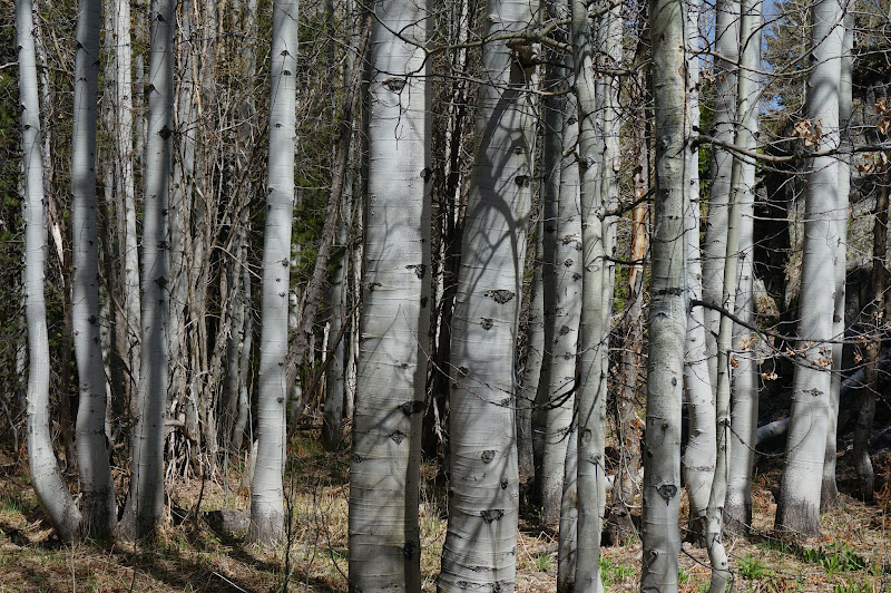
After a steep descent, the trail eventually entered a nice aspen grove.
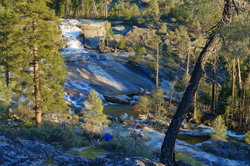
We had been told to wait at the campsite near the cascade; we didn't wait more than a half hour or so.
We immediately learned a few things about the area: the fish weren't biting, inflated boats can fly with sufficient wind, and packs sink in water. Also, inexpensive radios can handle water damage better than more expensive cameras. Oh, we also learned that Piute Creek could be crossed on a log.
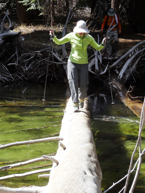
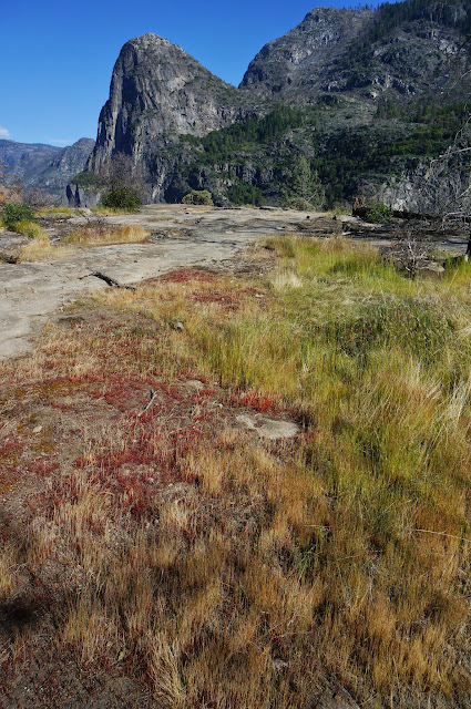
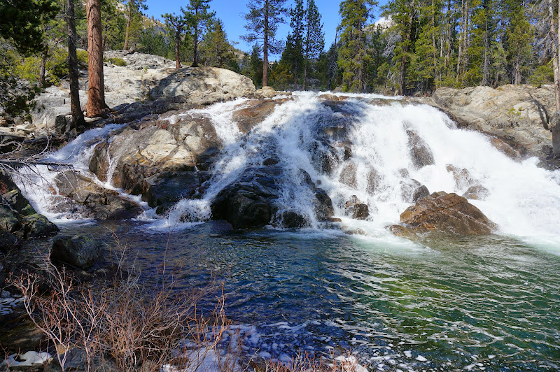
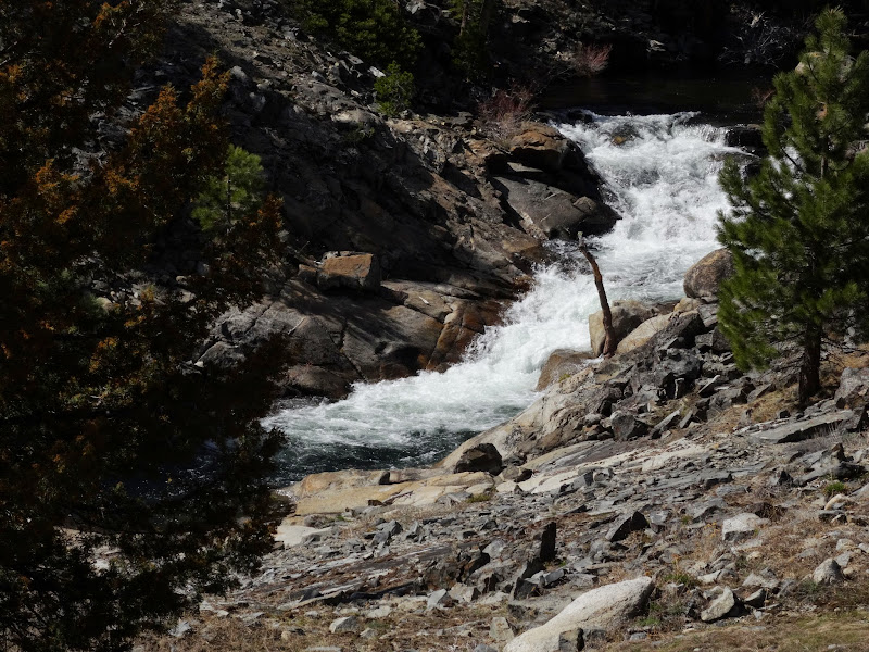
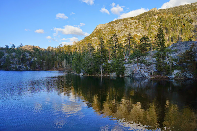
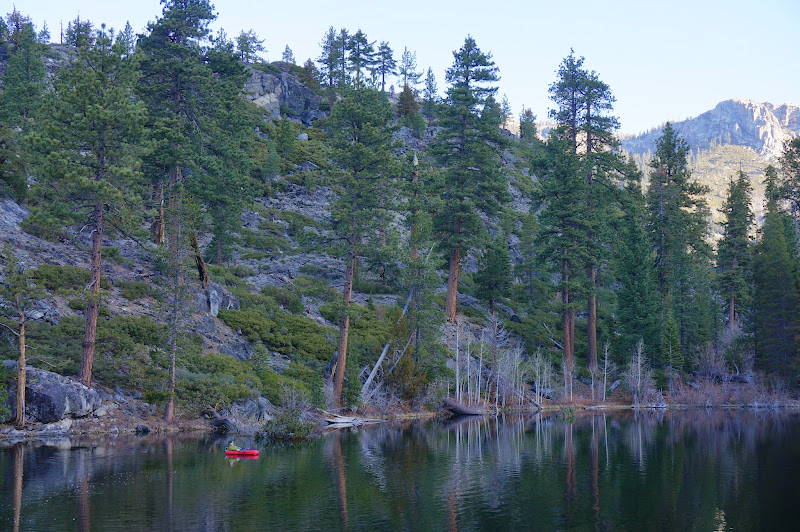
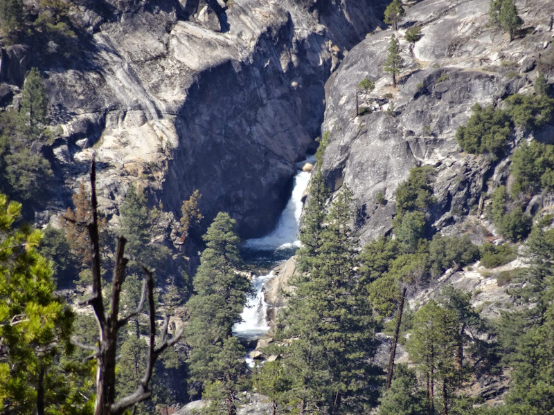
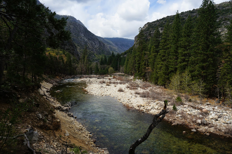
Once on the east side of the creek, we proceeded to our day's destination: the famed and fabled jewel of the Sierra, the heart of Yosemite: Loch Tablae (printed as "Table Lake" on some maps...). Along the way Piute Creek descended via a series of cascades and falls towards Pate Valley.
We reached the lake with plenty of daylight left to set up camp and hang around a bit--after of course posing for some pictures with our spiffy Chick-On Special Edition "Lowzee Shirts".
[Note: Due to aforementioned camera-into-water fiasco, I lent the "B" camera to the Pink Wanderer; some of the pictures from this point on are from the "second unit"...]
Anyway, yes, Loch Tablae is nice--both the journey and the destination.
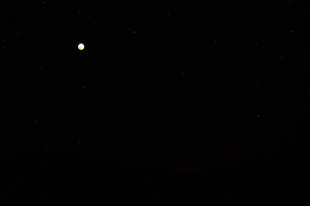
I am no fan of a full moon while sleeping in the backcountry--it's hard (for me) to sleep when a bright light is shining in my eyes. So, I was quite happy that at 5:00am the next morning, a lunar eclipse provided darkness, if only for a few minutes.
The original plan had been to figure out a way from Loch Tablae to Benson Lake, where we'd float across to the beach side. However, the weather forecast had advanced the storm system a bit faster than originally planned. The concern wasn't as much getting across to the beach--the Benson trade winds would make that easy--but rather getting back the next day, given the forecast for windy gusts.
Anyway, we decided to skip Benson, but not deploying the Loch Tablae fleet.
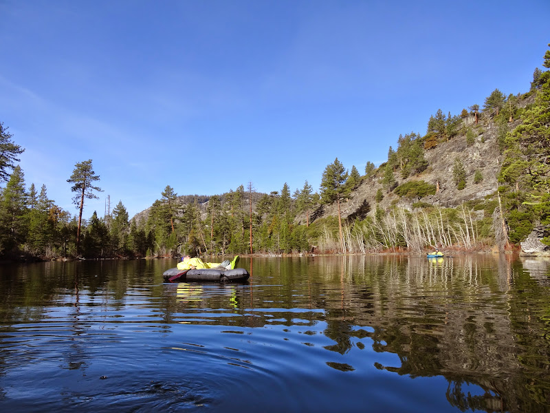
While floating around, the fourth in our party headed out--he had to be out a day earlier than the rest of us had to. We eventually had to move on as well; after floating around a bit more, we packed up, just as the winds started. After wandering around the lake's intricate shoreline a bit, we started to ascend above it.
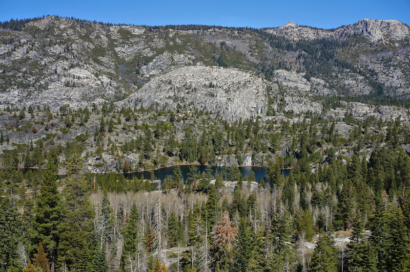
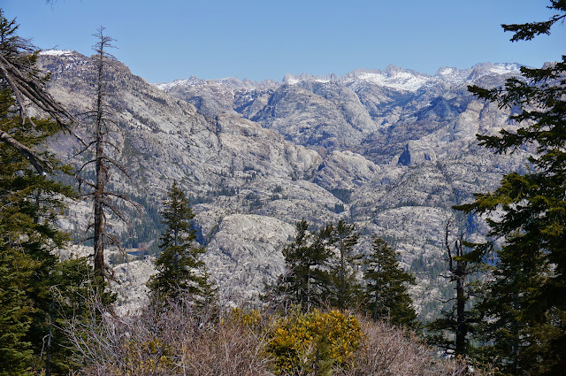
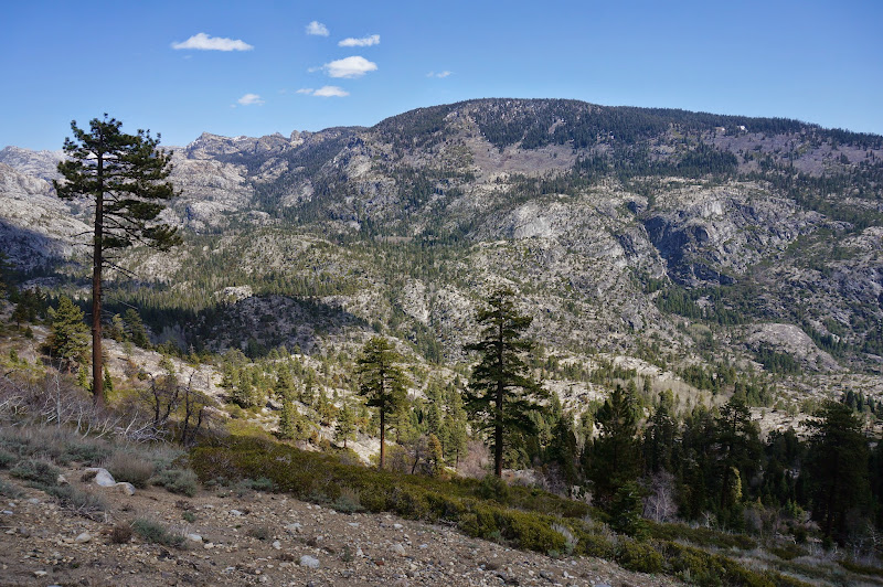
Since we had a bit more slack in our schedule, we decided to check out several domes that towered above Piute Creek.
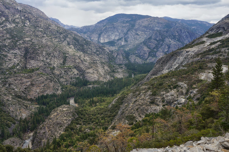
From these various viewpoints we could see Rancheria Mountain, more cascades on Piute Creek, and the high points along the south rim of the Grand Canyon of the Tuolumne, such as Double Rock and "Jorge Mountain".
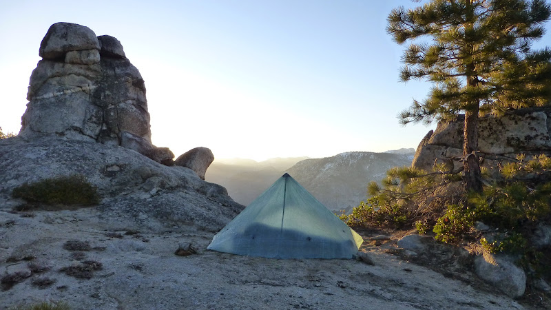
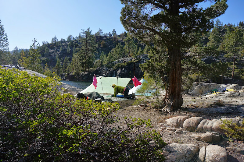
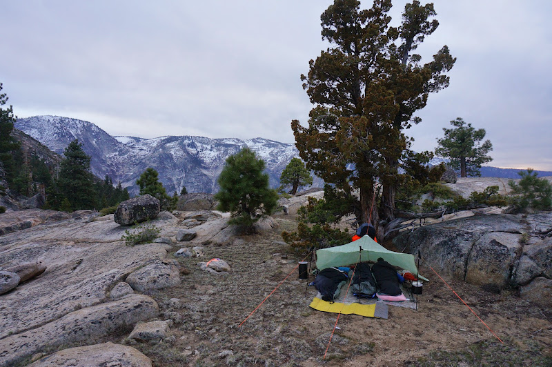
Just past where the trail crosses the first small spring, we looked for a campsite. On a high dome we found a decent spot with good wind protection, but some of the terrain below this looked better. After climbing down to it, that proved not to be the case, so we worked our way back up to the first decent spot via a bit of a ramp-and-ledge system.
As we set up camp, light clouds from the west passed over us--the weather was changing.
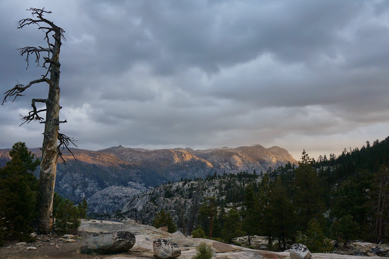
The next morning ominous clouds greeted us.
After breakfast and packing, we started our descent into Pate Valley. From the numerous switchbacks that carried us lower, we could see more waterfalls and cascades along Piute Creek--an area definitely worth exploring in the future.
Before the final drop into Pate, we had to work around a flooded section of trail along a narrow "ledge" that was quite popular with poison oak.

The stroll through lush Pate Valley was pleasant, but we knew we would have to eventually start the infamous climb up Morrison Creek.

But, before then, we paused for one final up-close look at the low Tuolumne River.
We stopped for lunch at an open section of trail with good views back into Pate Valley.
Shortly after lunch, we crossed Morrison Creek (as with Piute Creek, we crossed without getting our feet wet), then attacked the steepest section of the trail.
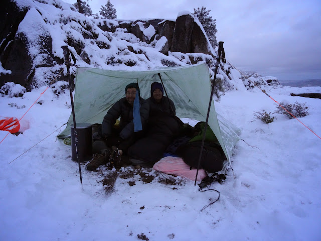
Just past where the trail leaves Morrison Creek, we hunted around for a campsite; the pink bird found a wonderful perch. We got the shelter set up just as small hail fell on us.
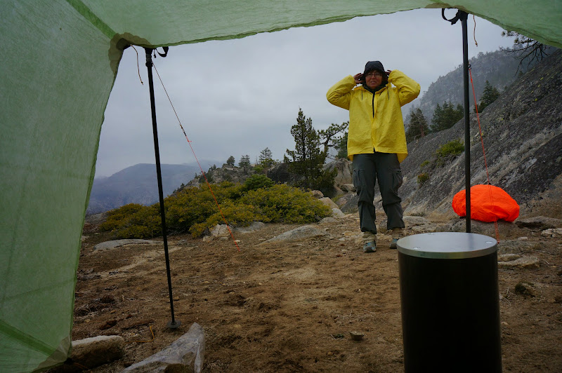
For the first few hours we were pelted with light hail, but nothing was accumulating.
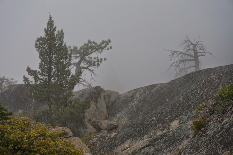
However, around bedtime, honest-to-goodness snow started to accumulate. The forecast had been for 1-3 inches, which was surpassed in just a few hours. We had to clear snow off our shelter several times during the night, but fortunately, it stopped sometime early morning.
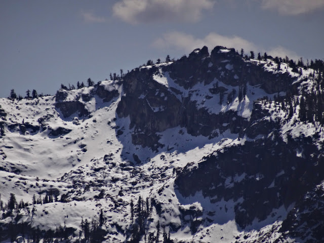
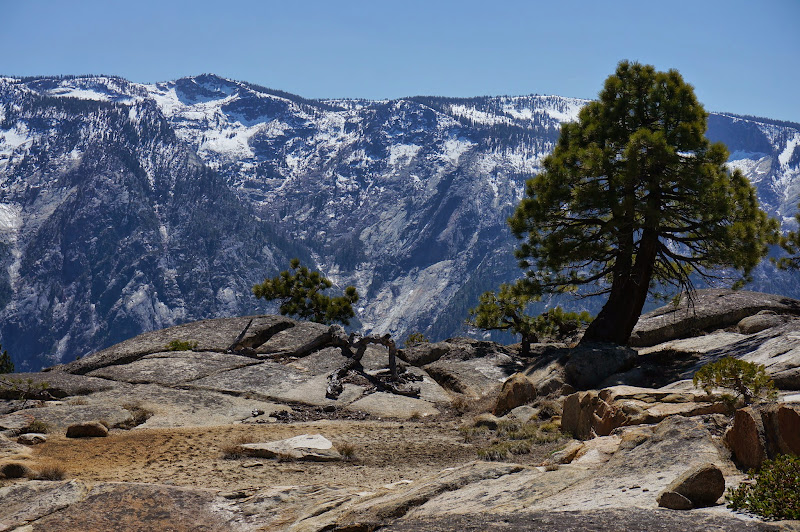
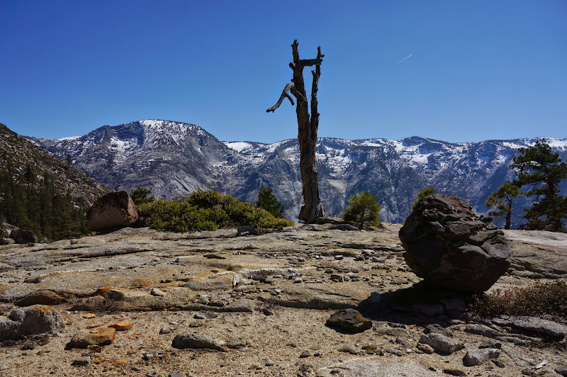
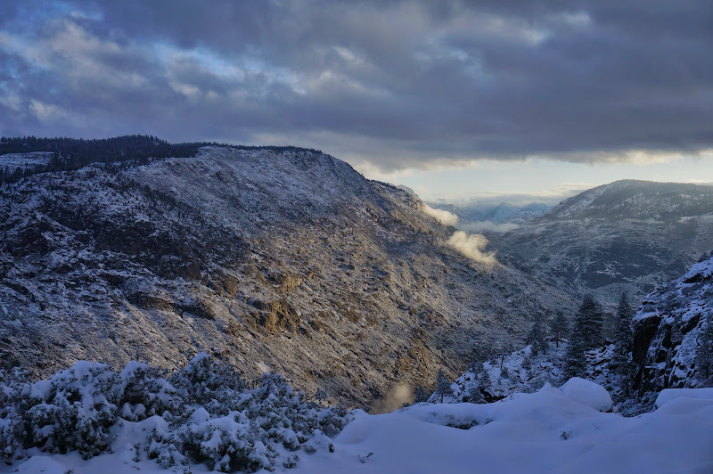
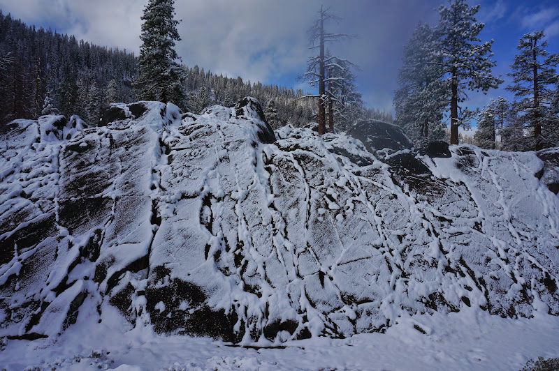
Several inches of snow greeted us the following morning, which also happened to be the Pink Wanderer's birthday. 29th or so, in fact. Within the past 12 hours winter had returned to Yosemite.
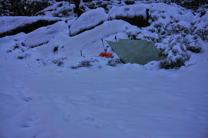
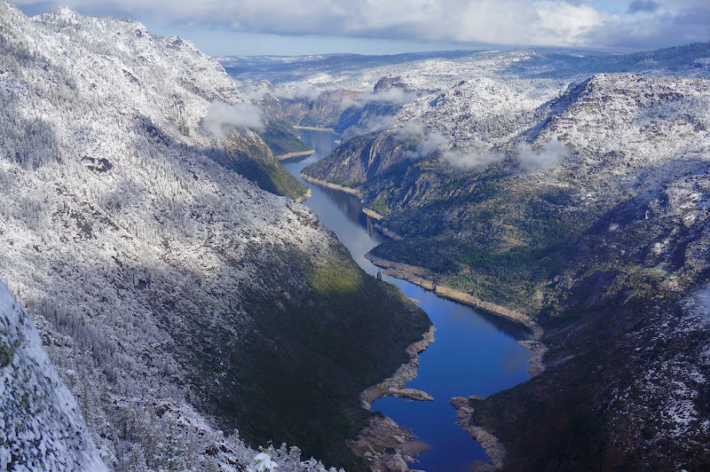
We estimated that snow line was around 5000'; almost all the high peaks and ridges displayed a wonderful fresh frosting of snow--not at all a bad birthday present!

Winter... it's been so long...
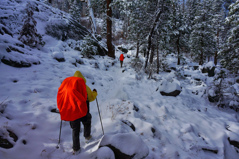
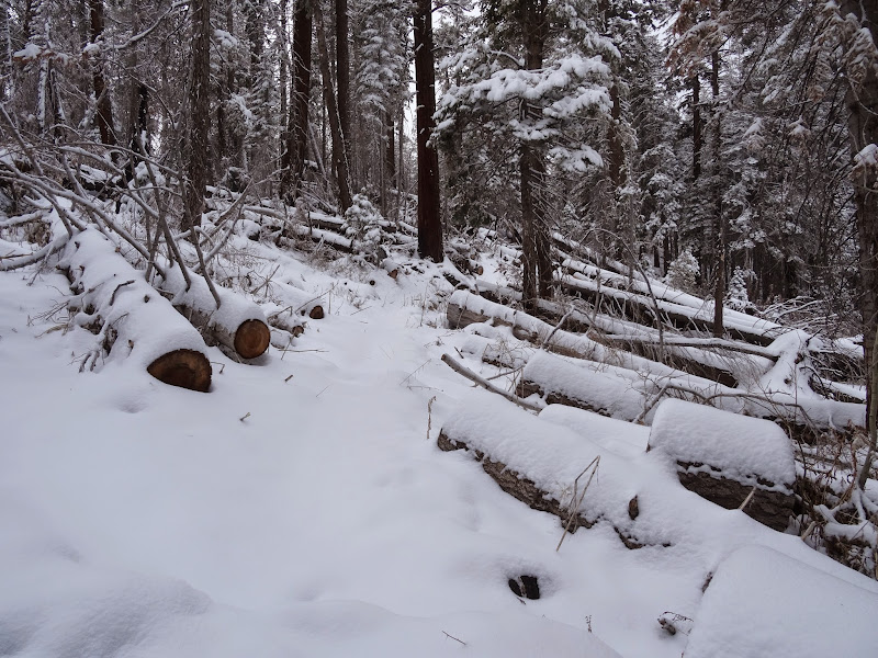
Fortunately, the snow had not fallen enough to completely obscure the trail--in most places a faint depression or the tops of cut logs indicated the way towards Harden Lake.
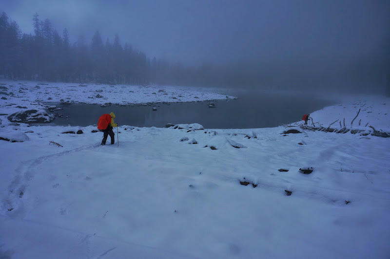
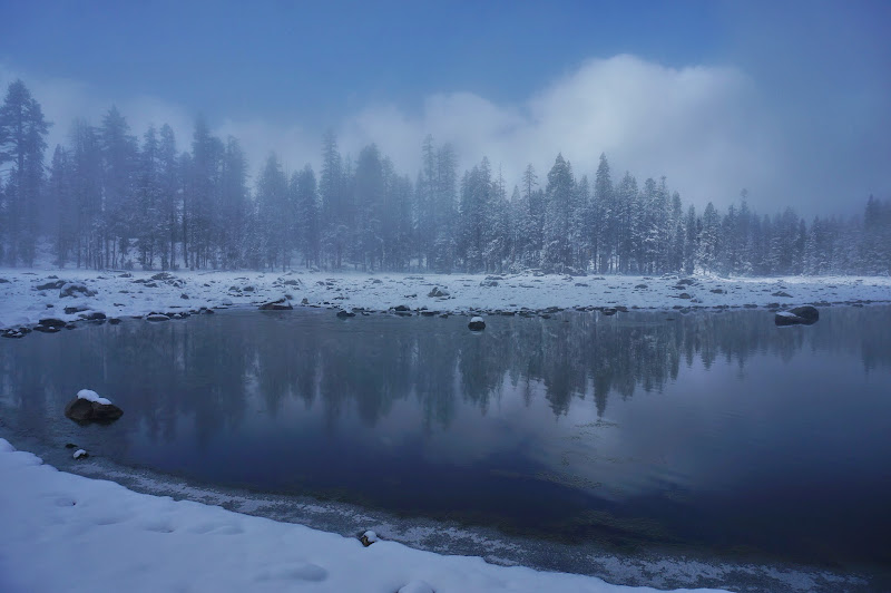
Harden Lake itself was partially obscured by low clouds, giving it an eerie, ethereal feel.
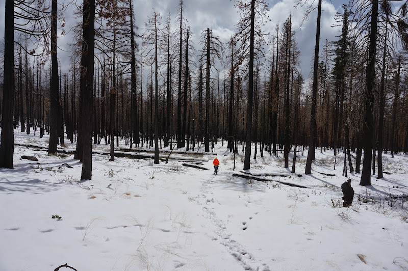
The trail was a bit harder to follow as it entered recently burned areas.

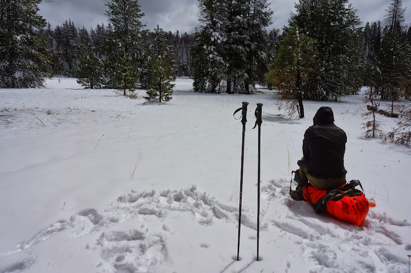
We lost it completely at the first descent to Smith Meadow, where we stopped for a quick lunch before our final push to the trailhead.
The final half-dozen miles or so were a sprint through burnt out forests and across various moraines.
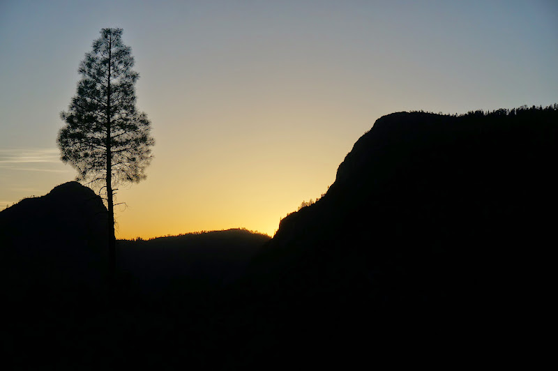
Near the end, we could again see the stain of Tueeulala Falls which we had seen at the start of our hike and this morning.
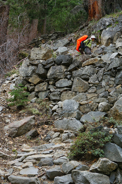
The final bit was along an oddly well-constructed segment of trail--possibly part of the short-lived Mather Ranger Station to Hetch Hetchy trail that would be superceded by the later railroad and auto road.
Overall, another great trip. We saw only one hiker after Rancheria Falls and had a great time meeting and hanging out with a new (to us) forum member and exploring a new (also to us) part of Yosemite. We even got to see some of that white snow stuff we've been hearing about from the East Coast news stations.
And we saw the fabled Loch Tablae!
More Pictures
 Our GPS track that day truly looks like we were going in circles!