
JKW, the Pink One, and I were fortunate to be able to get away from work and such for an extended weekend backpack trip in Yosemite. And, for the first time in a long time, my schedule and theirs aligned so we could start the trail together--no hiking-by-headlamp required.
The recent rains had made the various Yosemite Valley waterfalls more impressive than they have been for quite awhile.

After reaching the top of Nevada Fall, we entered Little Yosemite Valley, where we had lunch. Soon thereafter we were once more in the remains of the Meadow Fire.

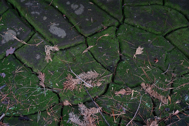
Although the fire had scorched the lush forests of Little Yosemite Valley and Lost Valley, the views of the surrounding granite cliffs have improved.

Past Lost Valley, we crossed the Merced on the "Twin Bridges" (of which there are at least three in Yosemite...) and started the climb up and around Bunnel Cascade.

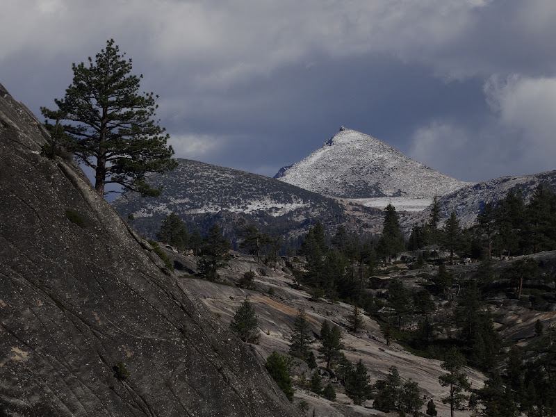
In the distance we could see that the highest peaks had a slight dusting of snow on them.
We left the trail just after its descent to Echo Valley began.

At this point our adventure began: we started the brisk climb towards Clark Canyon.

Behind us in the distance we could see some of the impressive domes of Echo Creek and the Cathedral Crest.

Near a nice flat granite slab next to Clark Creek we filled up on water--our destination was a bit farther away, and not near water.

We found a nice campsite near the top of a dome overlooking the Bunnel Cascade area just as the sun sat.

The next morning, we of course enjoyed pancakes for breakfast despite the long day we had ahead of us.

After packing we started our ascent of Clark Canyon, which at least at its lower end is fairly steep. Fortunately the terrain was mostly easy to navigate.

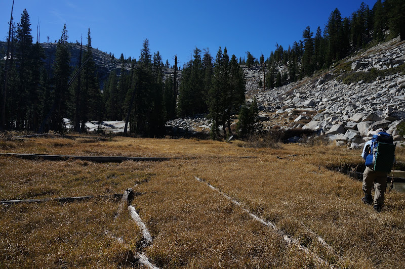
We eventually reached the first hanging valley in the canyon where a small meadow offered some relief from the ascent.
On old maps the "Mt. Clark Trail" crosses this meadow, but except for a questionable blaze on a tree, we found no signs of it. At the head of this small valley we opted to attack the headwall, which consisted of large talus and eventually steep cliffs, directly.

There was enough ice on this north-facing cliff to present navigational challenges, and it took awhile to find a safe-ish route to the top. Once there, the terrain eased quite a bit.

Not too much father, we caught our first glimpses of Mount Clark.

Soon we reached a small lake, just as we started to encounter patches of snow.

We continued up canyon to a second, smaller lake, near the headwall of the canyon--which effectively was Mt. Clark itself.

From here, we had to climb through some large talus; fortunately most of it was solid.

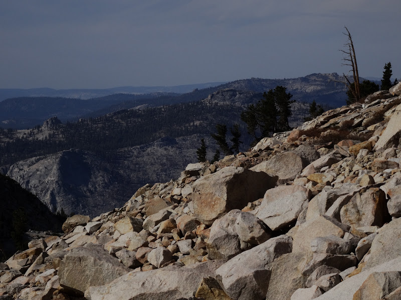
We eventually had to climb out of the canyon, onto the ridge that separates it from the Obelisk Lake area. The terrain on this ridge consisted of looser rocks and gravel--and a good bit more snow.
Of course, at several points we had views of Half Dome and other prominent high points around us.

Clouds started to form above us, and combined with our higher elevation and the snow around us resulted in somewhat chilly conditions, although nothing abnormal for late October.


We eventually reached the top of the ridge where we could look down onto Obelisk Lake, a lake that JKW and I had not seen in perhaps 15 years.

Unfortunately the direct descent route to the lake didn't look "do-able", so we instead had to traverse the blocky ridge a bit towards the south before we could descend to the lakes below.

We eventually saw the smaller lake above Obelisk--and the smooth granite saddle to its east that looked ideal for camping.

From this ridge we could in fact see most of the Sierra Crest, including Mt. Ritter, Banner Peak, and the Minarets poking out from behind the Blue Lake Pass area. Farther south were other significant peaks we could not identify.

The clouds had built up enough that the evening sun didn't provide much warmth at all.

Yeah, that's also Half Dome...
At another low saddle on the ridge we looked down into Clark Canyon for one last time before dropping to the lake we had chosen for our second night's camp.

At this point we were close enough to Mt. Clark that if we had a few more hours of sunlight--or were perhaps a few months earlier--we would have dropped our packs and made a dash for the summit. The limited daylight and lingering snow and ice convinced us to skip the peak this time.

While descending, we did see the world-famous Yosemite landmark "Chick-on Point", the proud bird perched near the summit of Mt. Clark.

The descent itself was down a sandy chute; the only challenge was keeping sand out of my shoes (the others had gaiters..)

As we neared the lake we confirmed our decision to camp at the saddle above it--the views looked very promising.

Before heading to the campsite we checked out a small tarn above the lake.

JKW had gone ahead to the campsite and was stretching after the day's climbing and scrambling.

Although we didn't get to see the sun set directly due to the ridge we had just descended, the sunset did not disappoint at all.


Despite the light snow and freezing overnight temperatures, it was in fact still boating season in the Sierra, so despite taking our time enjoying the sunrise and a nice breakfast, we couldn't just hang out at our wonderful campsite.

Our first destination was of course Obelisk Lake.

Heading down towards the lake we could see that other famous peak in the Clark region: Mount Basilbop.

We had to be careful in places due to still-frozen cascades.

Boating on the lake was quite enjoyable; it was too bad we couldn't have stayed there longer.

After putting away the boats, we headed down the Obelisk outlet creek to the place where it drops into Grey Peak Fork, stopping for lunch near a rather large erratic.

After lunch, we headed down the mostly open granite slabs to Grey Peak Fork itself.
This fork itself soon dropped precipitously into the Merced River, starting with a series of pools and cascades.


The old "Mt. Clark Trail" descends to the Merced River along a tree-lined chute west of Grey Peak Fork. We eventually picked up some trail-like sections, but they very well could have been game trails. In one place I found what could have been an old blaze... or not.


Eventually, after a lot of brush thrashing, we found a section of several obvious switchbacks--the only unquestionable signs of the old trail we'd see. Yes, there is a Backpacker Magazine article about a trail that goes all the way from the Merced River to Obelisk Lake, and it even has a convenient map--but it's clear that the article's author has never been there and only cribbed some beta from this site and its helpful comments. In any event, do not expect to find anything at all resembling a trail along this route; consider it 100% steep, bush-whacky, Chick-On-licious cross-country travel.


We lost the trail after the switchbacks, undoubtedly in the shrubbery that has been reclaiming the route for over a century.
Once at the bottom, the low Merced River was easily crossed.

Despite the late hour, we decided to add a bonus lake to our boating itinerary: Washburn Lake.

Fortunately, despite the setting sun the lake was calm.

After boating Washburn, we packed and headed quickly back towards Merced Lake. As we passed the ranger station area, it was all but dark--but the mostly-full moon helped illuminate the dark forest a bit.

We eventually reached a nice campsite, where we pitched our tent and cooked under the moonlight.

Our first task after breakfast and packing the next morning was boating our final lake: Merced Lake. The nearby camp had of course closed for the season, and was as it had been when JKW, M, and I had passed through several months ago.

The overcast sky kept the sun from warming us up, but the air was almost perfectly calm. The only thing disturbing the surface of the lake was us.

We boated to the far shore to touch the granite slabs, then headed towards the outlet.

After packing, we headed down the trail, but took a detour in Echo Valley, where we almost stumbled over a local resident.

We ran into another old section of trail--perhaps an abandoned detour that avoided the sometime soggy sections of Echo Valley...?

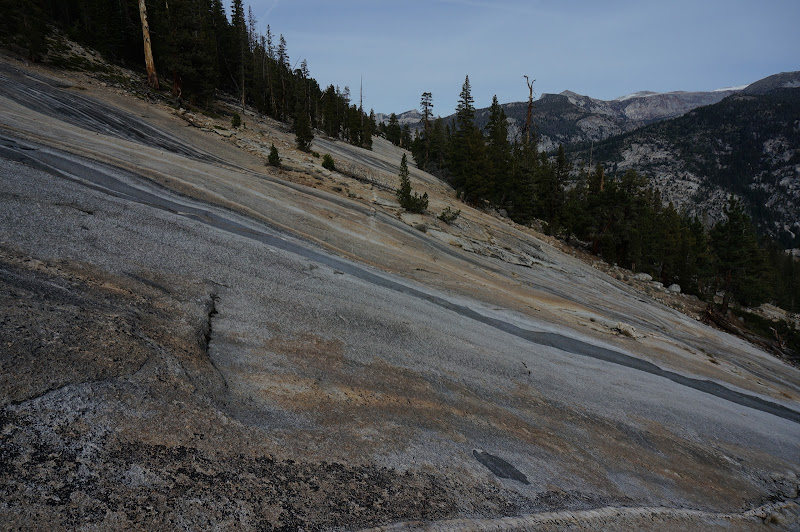
We stopped for lunch on the smooth granite near the trail's high point above Bunnel Cascade.


We looked back one last time at the high country before dropping down to the river.

Along the way we avoided stepping on another local resident.

The stroll through the valley below the "Twin Bridges" was nice.

As was our return though Lost Valley.
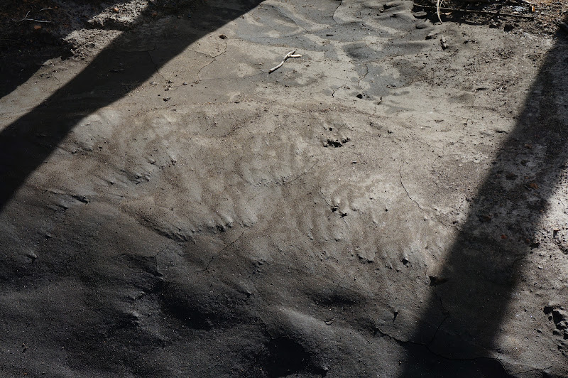
The recent rains had shifted the now-exposed sands in Little Yosemite Valley.

Even late in the year Nevada Fall was still impressive.

It was perhaps the last long trip of the year, and possibly one of the last boating excursions*, but we had a great time, saw some new scenery, revisited a place we hadn't been to in over a decade, and saw some familiar favorites again. Not at all a bad way to spend four days.
More Pictures
* Spolier: it wasn't!


