
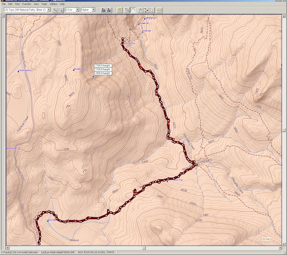
We started at the Mono Meadow TH, went down to Illilouette Creek, followed along to the junction with the Panorama Trail and then came back.
It was still pretty chilly when we got started a little before 8AM
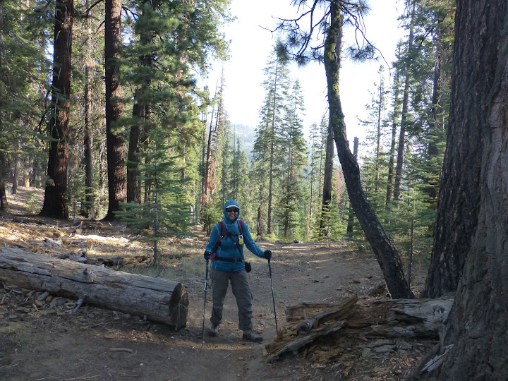
but it was a beautifully clear day and it warmed up pretty quickly. After the rapid descent during the first third-of-a-mile or so, we had a quick saunter and were shortly in Mono Meadow. I hadn't been down here in quite a few years and the last time I was here, it was late May after a pretty wet winter (remember those?). This log I'm standing on here was literally floating the last time I stood on it!
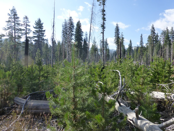
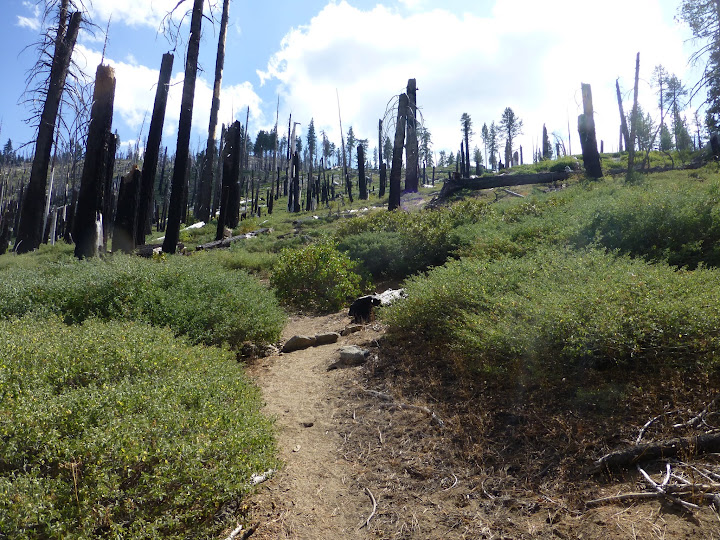
A short while later, we came to a burned area. Not sure when this fire was but there's substantial new growth there now.
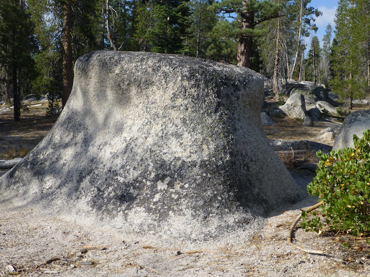
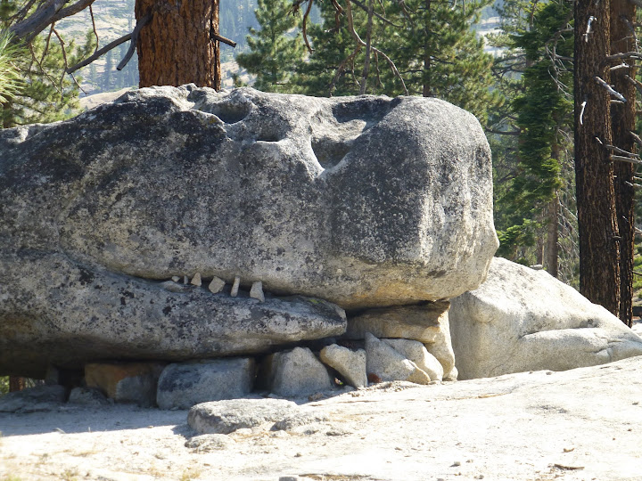
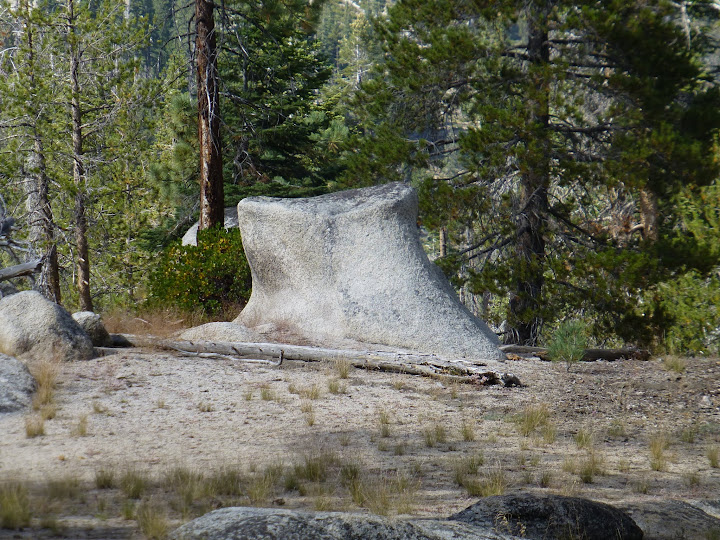
As you clear the woods, you get to some more open granite areas where there are a number of really unusual formations. We had to get pretty close to this one before we realized it was a rock and not a tree stump:
I'm pretty sure this one's been posted here before. The minor "embellishment" is not exactly a fit with "leave no trace" but it did give me a laugh
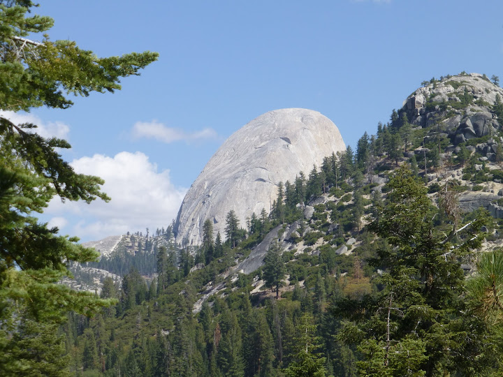
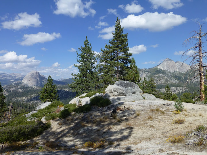
Some really nice (and fairly unusual) views of the back of HD from here and for the next couple of miles
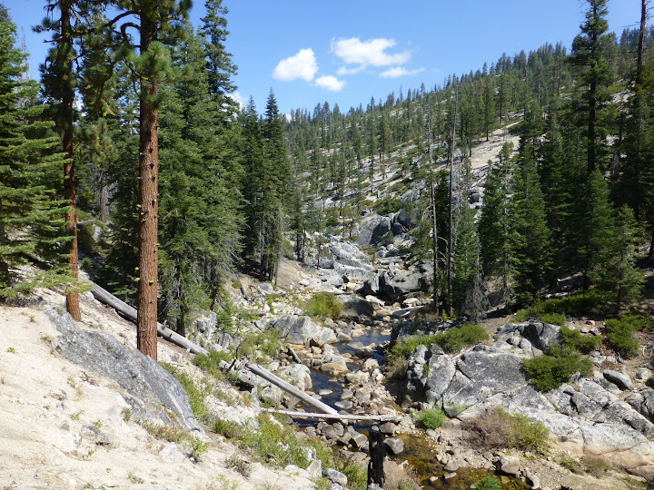
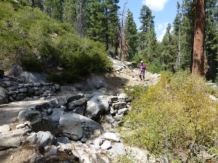
There's a rapid drop of about 1000 feet after this point and soon you're down to Illilouette Creek...
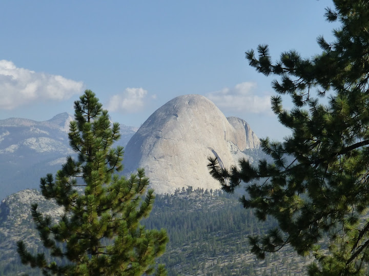
...and Mt. Starr King and its neighbors
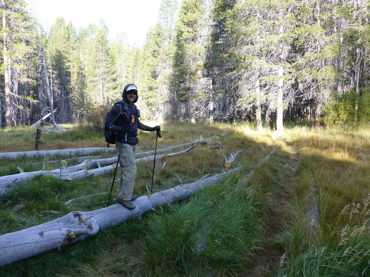
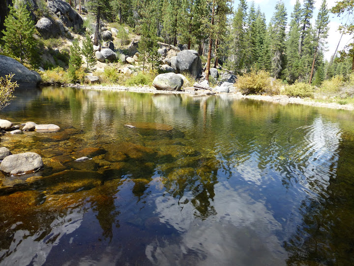
A little further along and the trail crosses the creek at a particularly nice point so I got a little artsy

Then the trail climbs again and you're a ways above the creek for a good while (with more unusual views of HD popping up)
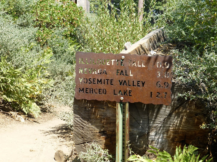
We'd originally planned to go to Illilouette Fall but, by lunch time, it was getting very warm and we knew we had a lot of uphill slogging to get back to the car so adding an extra couple of miles of serious downhill and back-up to see what was certainly little more than a trickle at the Fall, we decided to eat and turn around. We went a little bit down the Panorama and found a shady spot with a Half-way decent view
I'm sure that this is a much wetter crossing earlier in the season:
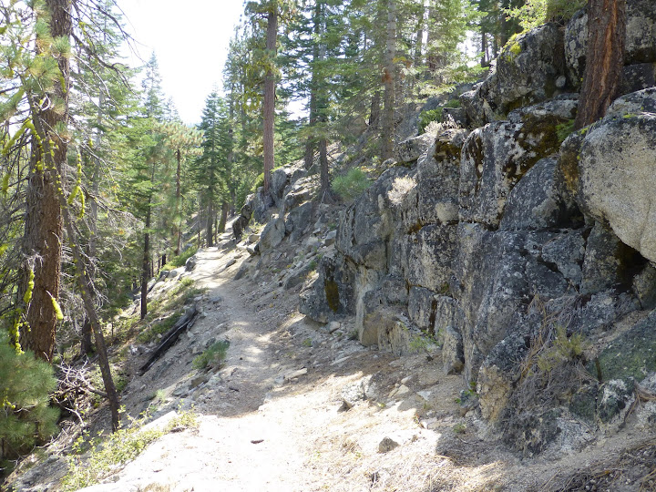
I think this is natural fracturing of the stone on the right side of the trail but it sure looks like a retaining wall
Back at the creek crossing. Very different light but still beautiful:
And the long uphill slog begins...wish we had the morning's chilliness back right about now:
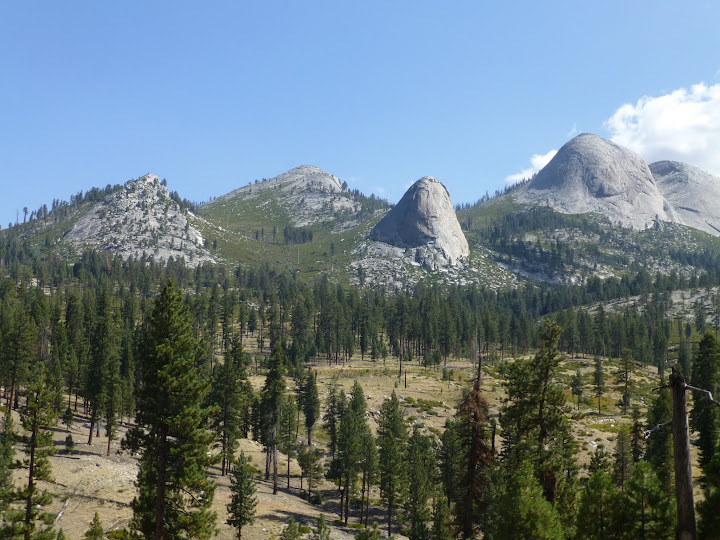
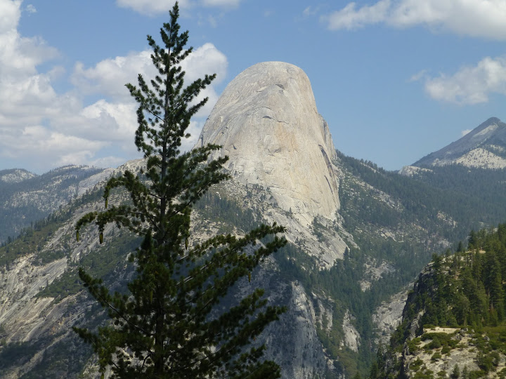
Half Dome on the left, Starr King on the right
Some more of those unusual granite extrusions
Except for the brief lunch stop on the Panorama trail (where we saw a LOT of people), we saw virtually nobody on the entire hike (passed one group of backpackers when we crossed the creek on the way back and then saw a number of people starting down the trail when we nearly back at the TH).
Several years ago, I'd done a very quick hike down to the first views of HD on this trail but had never gone as far as the creek. It was really lovely. I notice on the map that if I continue down the Panorama Trail a ways and up the other side of the creek, I'll eventually hit a trail that'll take me back along the other side of the creek (although, based on the look of the topo, with little or no view of the creek until you cross back over it). That looks like a somewhat longer but rather nice "lollipop" alternative and it's definitely on my list for a revisit.
This is all regular on-trail stuff but in case anyone's interested, here's the GPS track:
Edited 1 time(s). Last edit at 11/10/2015 02:57PM by DavidK42.


