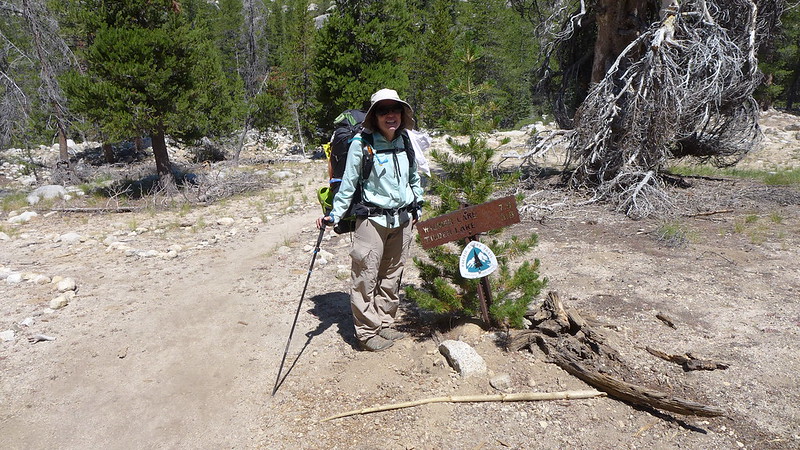
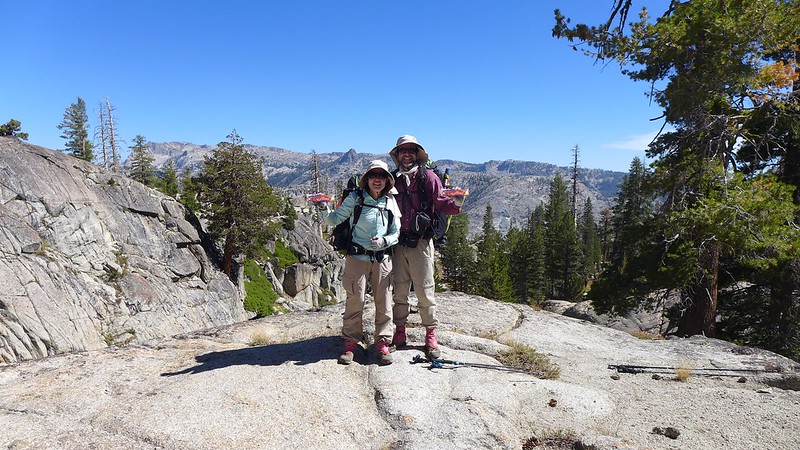
Wapama Falls was surprisingly dry given how large the Falls Creek drainage is. No water flowed under any of the numerous Wapama Falls bridges.
The mountain mahogany were all displaying white, fuzzy... flowers?
We stopped for lunch--and filled up with water--just below the Rancheria Creek bridge. Fortunately this creek had a bit more water than Falls Creek had.
After lunch we started the long climb up Rancheria Mountain, hoping that the usually dependable water near our intended camp site would not let us down. Unfortunately, small black flies bugged us during the climb up. JKW was smart enough to use her head net; the bird brains for some reason did not.
There were a few light clouds which thickened into the afternoon. A breeze gave some welcome relief from the mid-elevation warmth.
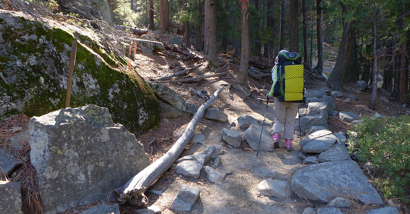
Unlike the previous weekend's well-worn trails, this one appeared to receive few visitors.
Fortunately, the small creek near our intended campsite--the only obvious one on Rancheria Mountain--was still flowing. We set up camp, then the Pink One and I searched for, and failed to find, a historical cabin supposedly in the area. We returned to camp to enjoy dinner and a good night's sleep.
The next morning was chilly and overcast, with a slight (to me) or strong (to JKW) hint of fire smoke. The Pink One decided to bop along a few ridges, while JKW and I followed the trail towards the Pleasant / Bear Valley Junction, where new trail for both of us would begin. We had completed most of the climb up Rancheria Mountain already, so the walk to this junction was quite pleasant despite the overcast conditions.
After passing the junction and starting fresh trail, we climbed to a small lake and had lunch near it.
Eventually our mostly wooded path led to an open meadow near the high point for our (or at least my) weekend.
From the high point, we could see Bear Valley below us to the north as well as other prominent high points of Northern Yosemite.
After dropping down a series of decent switchbacks, we reached the floor of 8400' Bear Valley.
We had one more short climb to the base of a prominent rugged spire.
The lake's water was warm; except for the cool breeze and the dark clouds that constantly blocked the sun, it was a perfect lake for swimming--and boating. There ended up being a bit of down-clad boating, and much less swimming.
Fortunately our campsite had some protection from a few small pine trees. At one point we heard some voices from the other side of the lake, but we didn't hear or see anyone else that evening. The breeze continued into sunset as we prepared and enjoyed dinner and the sunset show.
A few strong gusts of wind hit us during the night, but fortunately the wind calmed a bit, allowing for another good night's sleep.
The next day would be all-new for me, but the Advance Party had already hiked a good bit of it--with Payday-deprived Bearproof, in fact, en route to meeting M and me at Bond Pass. After breakfast, we left the lake, passing the two hikers whose voices we had briefly heard the previous evening. They were the only people we had seen since the Rancheria Falls area. We then began the descent into Kerrick Canyon, which reminded me a bit of Muro Blanco.
After a good descent we reached the valley floor. Rancheria Creek was dry here, and JKW was back on familiar trail.
Perhaps if the trail connecting Kerrick and Stubblefield canyons had been built in the post-cavalry era, judicious use of dynamite may have allowed the trail to stay closer to the canyon floors, but the actual trail climbed up several hundred view-filled feet, only to drop down into Stubblefield.
Fortunately a small, developed spring on the drop into Stubblefield was still flowing with cool water. We filled up here, then had lunch on a dome a bit farther down the trail.
After lunch, we dropped to the shallow creek in Stubblefield Canyon. JKW and Bearproof had wanted to take a dip in it, but the shallow, gravelly bottom disappointed them. Worse, the promised Payday bar apparently was a reward for climbing out of Stubblefield, not into Stubblefield. While the descent had been through rough and blocky granite, the climb was up smooth, white granite.
Our climb brought us almost as high as where we had started that morning; the spire we had camped below was a prominent landmark.
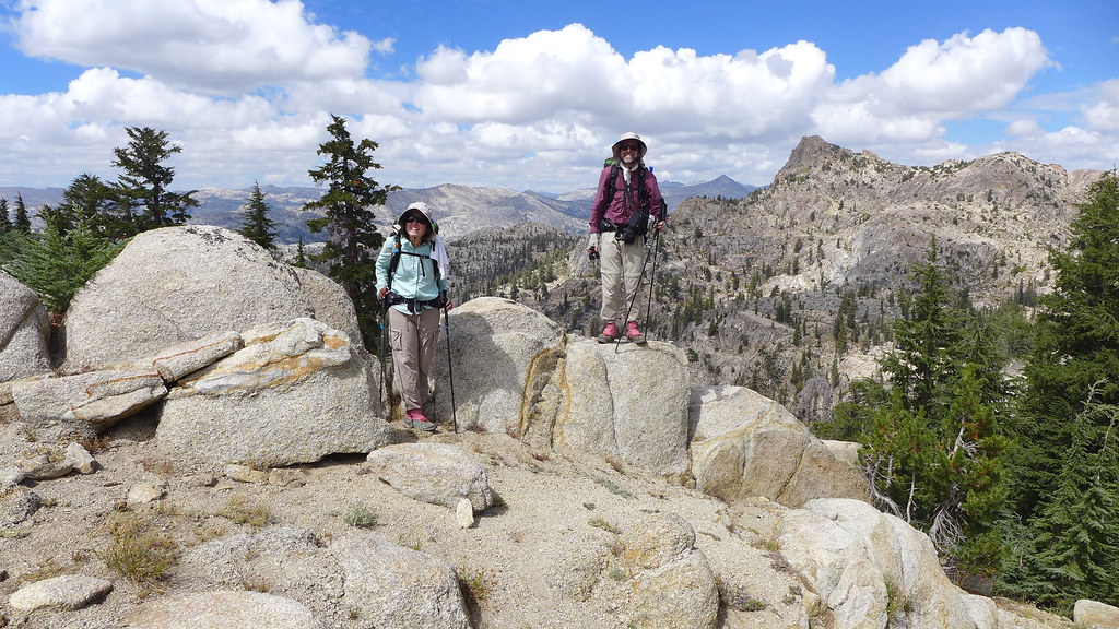
Eventually we reached the top of "Payday Hill", with nice granite to sit on, great views, and a distinct lack of a Payday bar.
From there we had a shorter, wooded descent to where we would leave the PCT. I was surprised how close we were to Tilden Lake and Bond Pass--we were really in Northern Yosemite, which JKW (until recently) and I had long neglected. A few more free days would have allowed to finishing some more trail segments in this area, but I left with a good reason to return, as if I needed one.
We headed south, passing through gentle, wooded terrain. We had left the steep canyons behind us.
We still had one more decent climb before reaching our destination; fortunately we were treated to views of Rancheria Mountain's broad, forested "summit", and in the distance Mt. Hoffman, Florence Peak, and Tuolumne Peak. Oh, and finally we could see "Jorge" (a/k/a (Muir) "Gorge" ) Mountain.
Before our final drop, we could see down into Jack Main Canyon. I would be hiking out without the Advance Party the next morning--they would stick around for a few more days to finish off some more trail segments. I had two choices for my hike out: via Jack Main or Tiltill Mountain. Both seemed to be about the same trail mileage, and I ultimately decided I'd head out via Tiltill, since Jack Main would be the better route for the inevitable return.
We eventually reached our destination. After quickly setting up camp, there was some quick Boat Quest action and late-evening swimming. The previous day's clouds were gone, but the cool breeze was not, making for a quick, brisk dip in the lake.
We had just a few minutes of direct sunshine to warm up a bit before the sun set behind the ridge across the lake from us. After it disappeared we enjoyed dinner as the day slowly faded away. Once again we all slept well that night.
After breakfast, JKW boated the lake. We would have to return in the future to put a significant dent in the BoatQuest for this area, so I volunteered to hike out the boat.
I had decided to hike out via Tiltill Mountain and Valley. The Advance Party would spend a few more days checking off some trail segments, but I had to return home. Just past the junction we had passed the previous afternoon were some wonderful dry campsites with excellent views.
The hike towards Tiltill Valley was a nice stroll through open forest at first, with occasional openings exposing typical Yosemite granite.
I looked for another historical cabin at a small meadow where a century-old map said I might find it, but I could find no remains of the cabin.
Eventually the gradual trail started its steep descent into Tiltill Valley. It was obvious I was still several hundred feet above it, not to mention Hetch Hetchy itself.
The nice trail became a rocky, gravelly, and slippery adventure as it dropped steeply into Tiltill, but the views did not disappoint. Somewhere early in this descent the black flies became enough of a nuisance that I gave in and put on my headnet, sacrificing some access to the cool breeze for improved levels of sanity.
There were a few faint paths through the grassy valley towards the junction I knew was somewhere "in the middle". I picked the one that headed in that general area, and after meandering around a bit, arrived at the junction, thus completing my TrailQuest segments for this weekend.
The historic maps indicated that another cabin had once occupied Tiltill Valley, at the base of an old trail alignment. I was a bit ahead of schedule, so I retraced my steps a bit and checked out an area that looked like it would have been the obvious place for a cabin--flat, open, yet shaded well from the hot summer sun. I found no signs of the cabin itself, but did find a few axe-chopped stumps and, confirming that I was in the right general area, a few T-shaped blazes along what was almost certainly the old bottom segment of the Tiltill Mountain trail (located west of the current alignment).
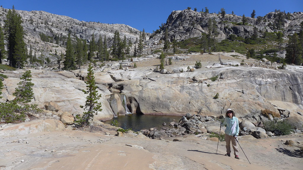
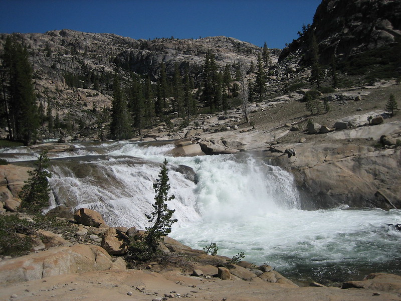
I left Tiltill Valley and headed down to Rancheria Creek, aiming for the base of the cascade area for lunch. The cascade was not much given the creek's meager flow, but I found a nice place in the shade to have lunch and rest a bit, and a nearby pool provided clear, cool water.
The final several miles back to the dam were a contrast of hot sun and cool breeze.
I stopped at the high point where open rocks overlook the reservoir; there were no trees to get between me and the breeze.
I met the first day hikers I encountered since the first day in near Wapama Falls; I suspect they were all disappointed at the trickle of a fall they had hiked three miles to see. One, who had hiked a bit past Wapama, asked how much farther to "the waterfall". I said it was another 3-4 miles and that the flow wasn't much better than Wapama's.
I made it to the car at a reasonable time, and after washing, exchanging some gear with the Advance Party's vehicles, and raiding their food bin, I was on my way home. It was another excellent trip along a trail that I'm not sure I would have ever hiked without TrailQuest... but am glad that I did.





 )
)