Almost went there instead... but alas... never nuff time
Fri:

Sun:
Have a Happy Thanksgiving everyone


The Moon is Waning Gibbous (83% of Full)
November 21, 2017 11:30AM | Registered: 10 years ago Posts: 92 |
|
Re: Middle! November 22, 2017 05:38AM | Registered: 16 years ago Posts: 629 |
November 22, 2017 06:36AM | Moderator Registered: 15 years ago Posts: 7,421 |
November 22, 2017 06:39AM | Moderator Registered: 15 years ago Posts: 7,421 |
|
Re: Middle! November 23, 2017 04:52AM | Registered: 16 years ago Posts: 629 |
Quote
chick-on
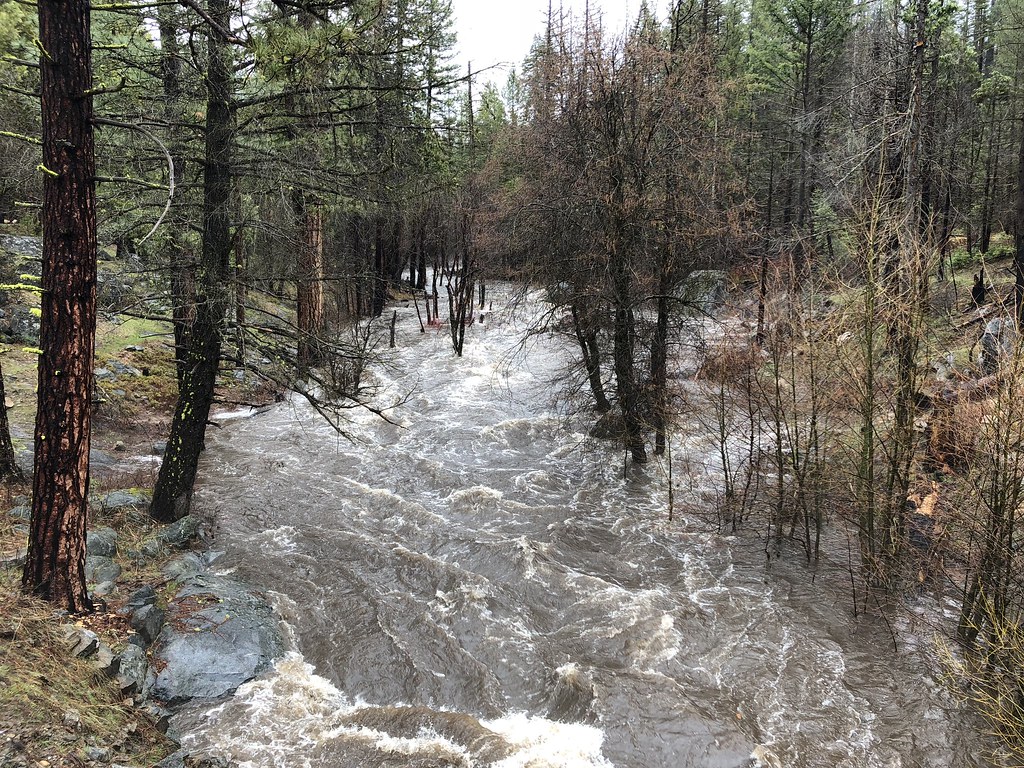
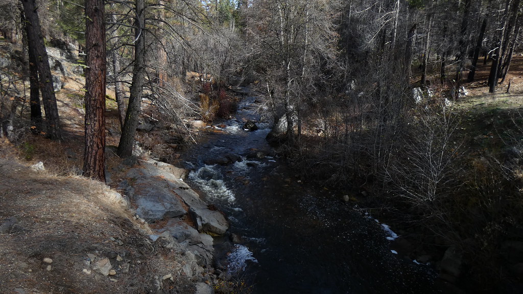
Middle Tuolumne
Yosemite is where my heart is. It has not been forsaken.
If not impressed with those two before and after...
I could show Vernon outlet... but... you could also go to
halfdome.net
Look in archives
and then look at Yosemite Falls for Thursday Nov 16. Then Nov 17.
click here:
http://archives.halfdome.net/
then pick yosefalls... etc etc
Have fun
and
Happy Thanksgiving!
|
Re: Middle! November 26, 2017 11:15AM | Registered: 15 years ago Posts: 696 |
November 27, 2017 07:32AM | Moderator Registered: 15 years ago Posts: 7,421 |
|
Re: Middle! November 28, 2017 05:50PM | Registered: 7 years ago Posts: 39 |
December 04, 2017 05:25PM | Moderator Registered: 15 years ago Posts: 7,421 |

|
Re: Middle! December 05, 2017 03:37PM | Registered: 14 years ago Posts: 628 |
 ) and you should find them).
April 11, 2018 09:34PM | Moderator Registered: 15 years ago Posts: 7,421 |
April 11, 2018 09:39PM | Moderator Registered: 15 years ago Posts: 7,421 |
April 14, 2018 06:12PM | Registered: 15 years ago Posts: 675 |
April 16, 2018 04:26PM | Moderator Registered: 15 years ago Posts: 7,421 |

|
Re: Middle! April 17, 2018 07:53AM | Registered: 7 years ago Posts: 224 |
April 17, 2018 09:24AM | Moderator Registered: 15 years ago Posts: 7,421 |
April 19, 2018 07:27AM | Registered: 15 years ago Posts: 675 |
May 01, 2018 07:12AM | Moderator Registered: 15 years ago Posts: 7,421 |