Piggybacking on a business trip to the east coast and a brief visit to relatives in the midwest, this would be my 11th visit to Yosemite. On my last three trips, Tioga road had been closed, so I wanted to take advantage of the road still being open, as well as this being a mid-week off-season trip, by visiting one of the (many) popular sites I still hadn’t seen, under conditions where I was likely to see few other visitors. Since I’d be alone and overnight parking on Tioga road was prohibited starting from October 15, even a one-night backpacking trip was out of the question, so the plan was to day hike lower Cathedral Lake plus Medlicott and Mariuolumne Domes on Tuesday, and then other spots I’ve been wanting to see as time would allow. It’s not like there’s a shortage of things to choose from.
The flight in took us right over Mono Lake
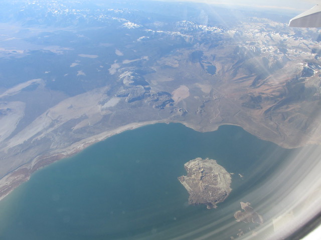 ,
,with a view to the south of highway 120 and the lakes along Lee Vining canyon
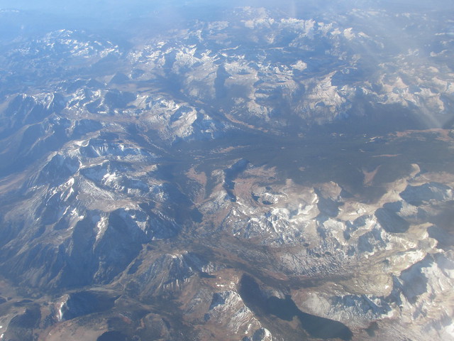 ,
,as well as Tioga Pass and the Granite and Gaylor Lakes
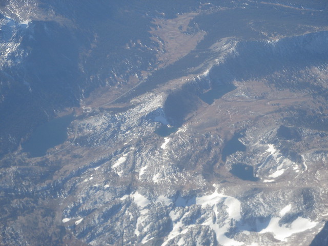 .
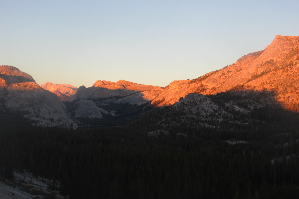
.But as Clouds Rest and Half Dome came into view
it became apparent that the fires – both natural and planned – south of Glacier Point Road were filling the Merced River Gorge with smoke from Little Yosemite Valley all the way down past El Portal
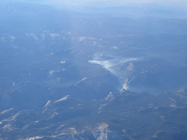 .
.This just reinforced the decision to hike in the TM area.
I arrived in Oakland on Monday morning with the intention of getting up to Yosemite late in the afternoon and trying to get a campsite at Hogdon Meadow. But after two consecutive sleep-deprived nights, and finding a campsite that could be reserved in the valley for Tuesday night, I opted instead to nap at the relatives’ place in Oakland before swapping my business things for my camping gear, and to head out early – very early – on Tuesday.
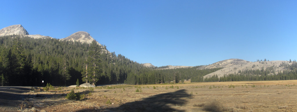
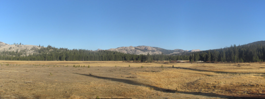
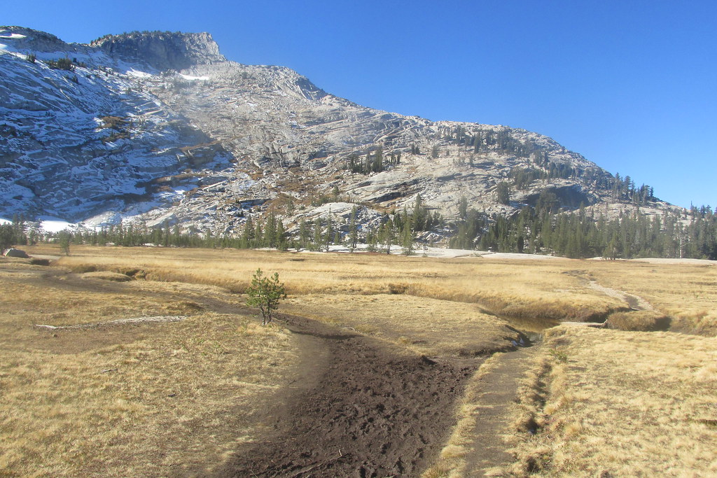
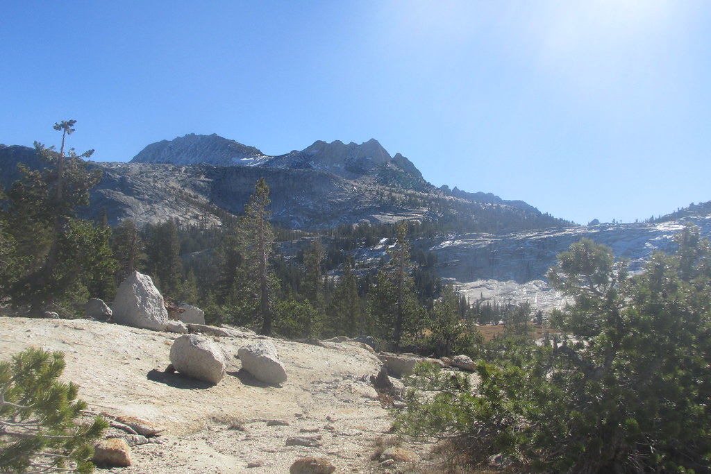
I reached the BOFR entrance around 6:30. Saw a bear scamper off to the side of the road somewhere around Tamarack Flat. After stopping at several pullouts and breakfasting next to Tenaya Lake, I arrived at the trailhead at around 8:15. There were two other cars when I arrived, and I saw the occupant of one of them, but by the time I’d changed into my hiking boots and stashed my food in a storage locker, she’d disappeared. I took some photos of the meadow, glowing gold in the low-angle morning sunlight and dried grasses, and then hit the trail at 8:30.
Living near sea level, being fairly sedentary except when hiking, and coming straight from the East Bay to TM, I was a bit apprehensive about starting out at 8600 feet and going up. But having been through this routine enough times, I knew it was a just a matter of taking it easy on the ascent.
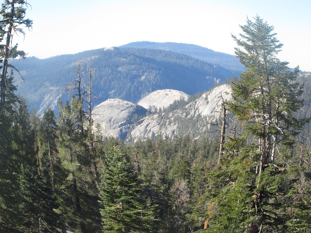
It wasn’t long before I saw the low promontory at the north end of the Cathedral Peaks complex.
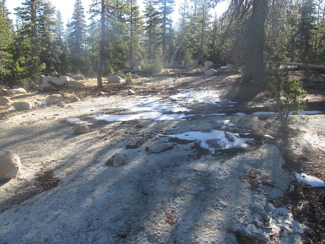
Small amounts of the snow from the previous Thursday night persisted, and there were a few (but very few) parts of the trail that were still iced over at that hour.
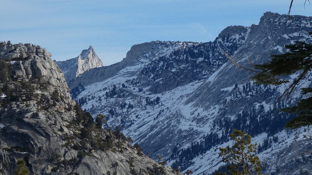
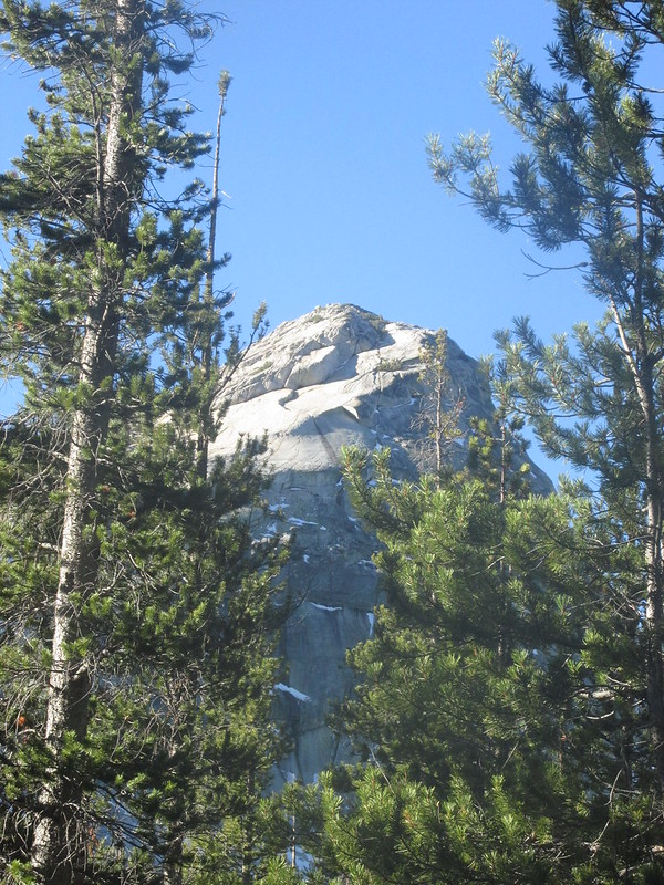
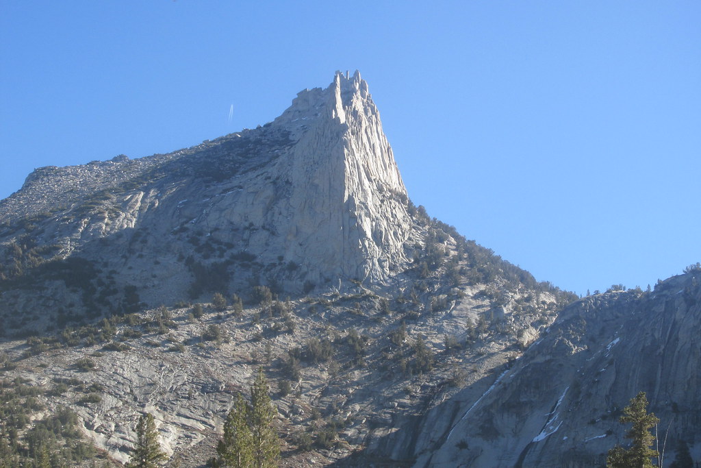
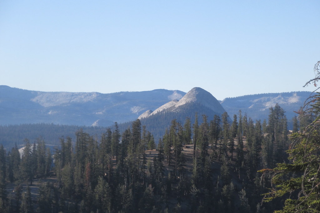
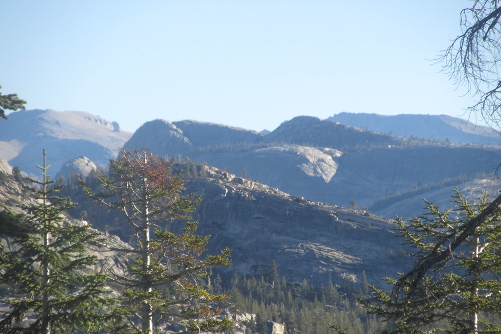
Soon enough, Cathedral Peak came into view to the south
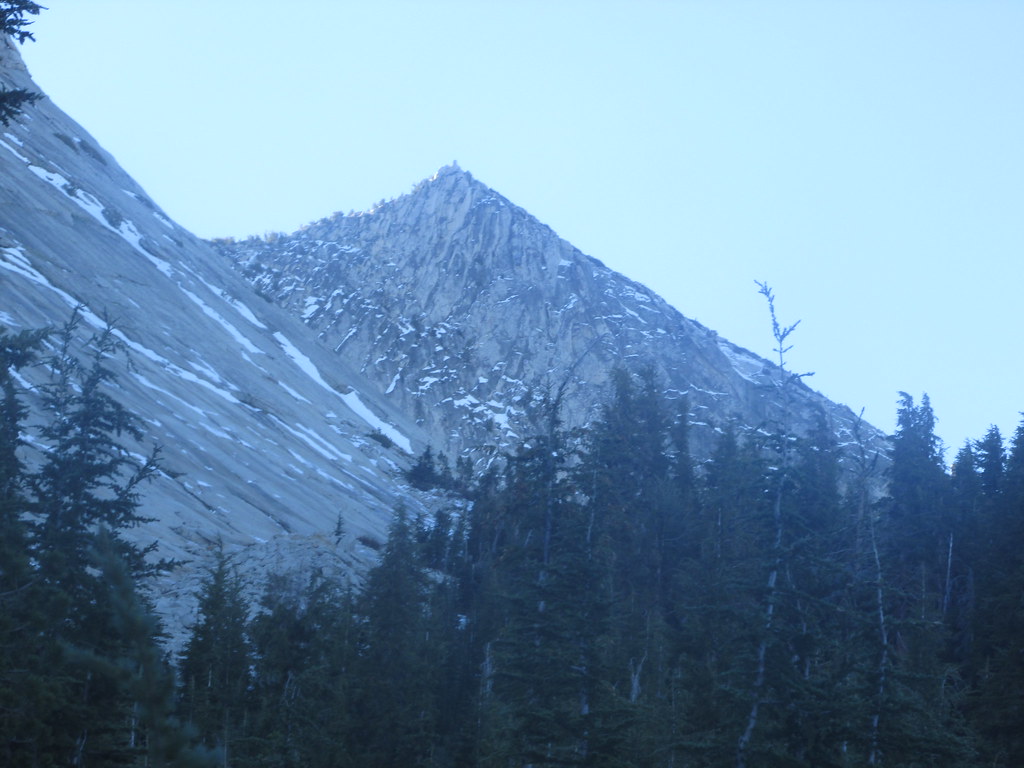 ,
,and then Fairview Dome to the west
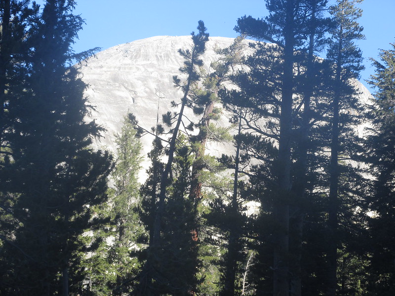 .
.Farther along, the southwest face of Fairview became visible, with granite peaks to the north jutting up behind
 .
.Ditto for some of the high peaks to the east
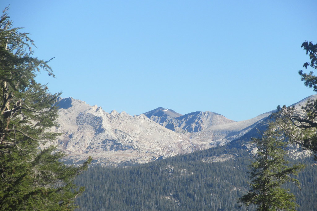 .
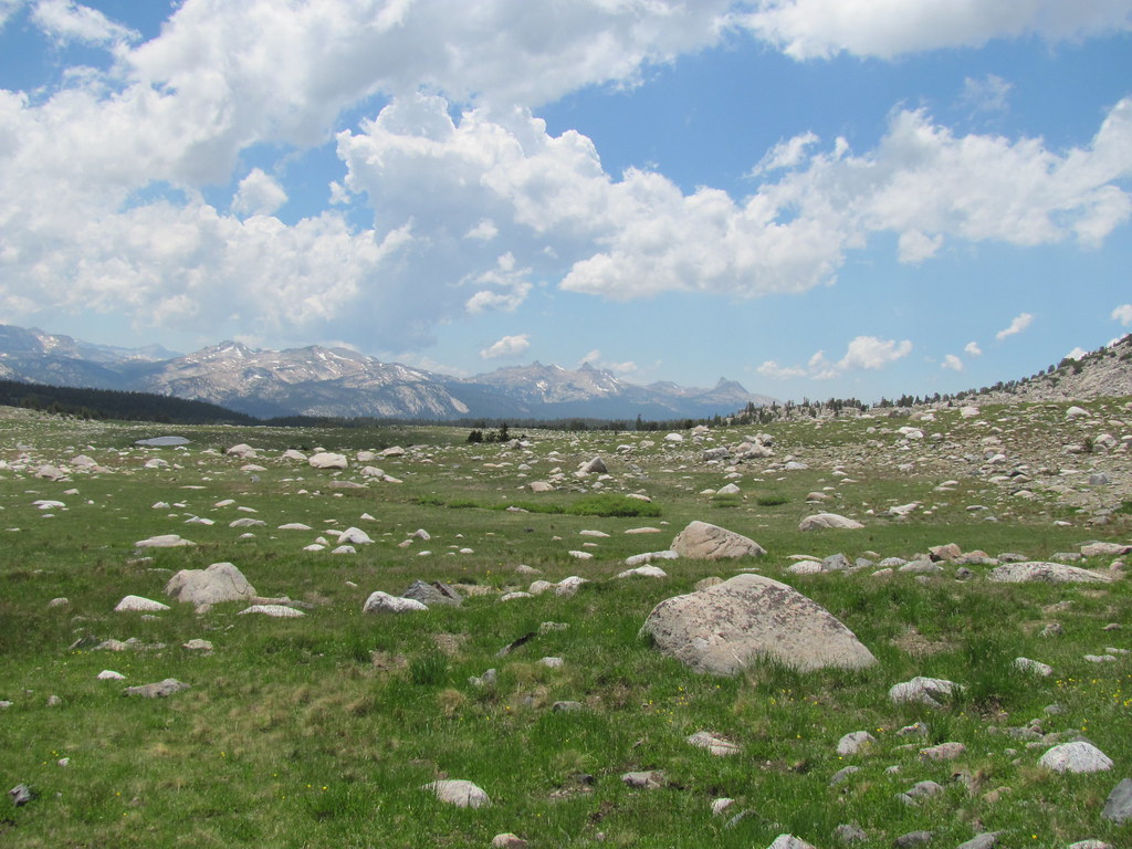
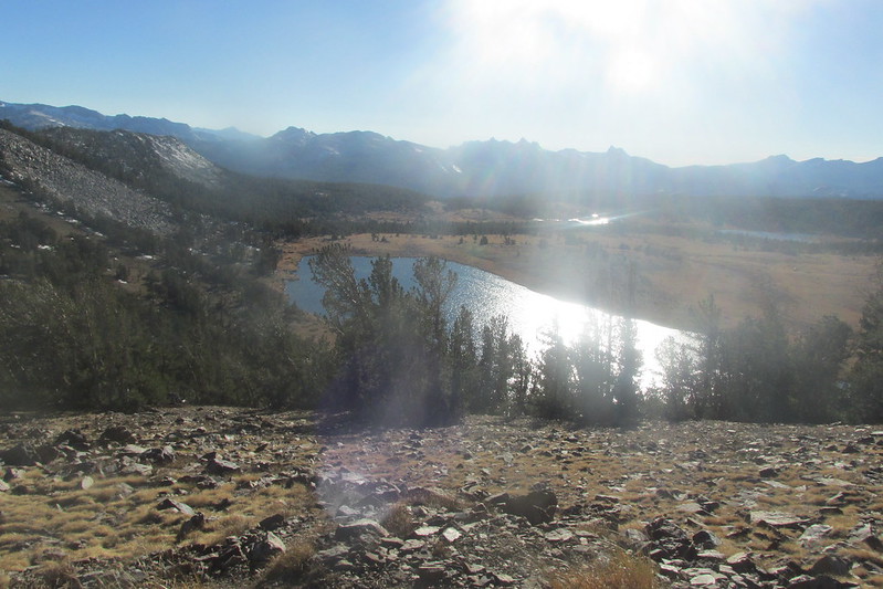
.In planning this hike, I had considered first going cross-country to Mariuolumne Dome and then working my way down to lower Cathedral lake, but after reading of Balzaccom’s misadventure in ending up at the much-steeper Fairview when he’d planned on Mariuolumne, and still suspect of my cross-country abilities in forested areas, I decided to stay with the trail and hit the lake first. This didn’t stop me from losing the trail a bit where it branched from the JMT and descended toward the lake, but it wasn’t hard to follow since it all led to the same place, and eventually I found myself on the trail in the meadow to the west of lower Cathedral lake, with snow still holding on the slopes lining the lake’s southern shore.
The trail was muddy and clearly overused, but the meadow was fairly dry and the streams feeding into the lake low, so I worked my way northwest across the meadow to the lake’s northeast shore.
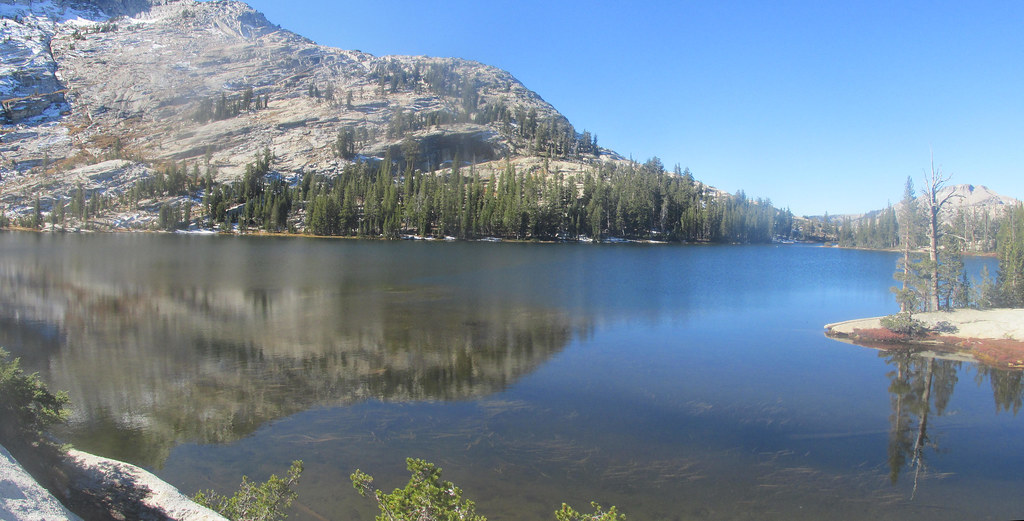
As I munched on a snack and admired the upper reaches of Cathedral peak, I marveled at being alone in one of the more popular spots outside Yosemite Valley. It always amazes me when in a country of 300,000,000+ people, I can have a spot like this to myself, even if only briefly. (My daughter and I had a similar experience a few years ago when we had Observation Point in Zion NP to ourselves for an hour.)
After a few minutes I noticed the woman from the trailhead a few hundred yards to my south, apparently doing yoga, so I guess it’s more accurate to say I had it almost all to myself.
After the rest, it was time to head up Medlicott Dome. In working my way around the north end of the lake, I came across this:
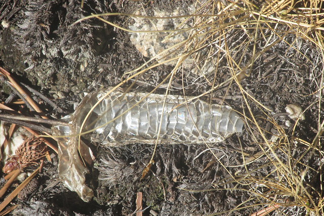
It was about 3 inches long, and seemed to be attached to the thick needle at the left of the photo. Part of a snake skin? I didn’t realize they can be found this high up.
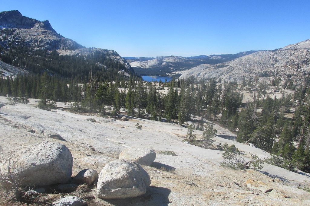
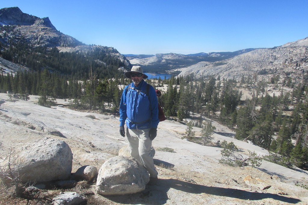
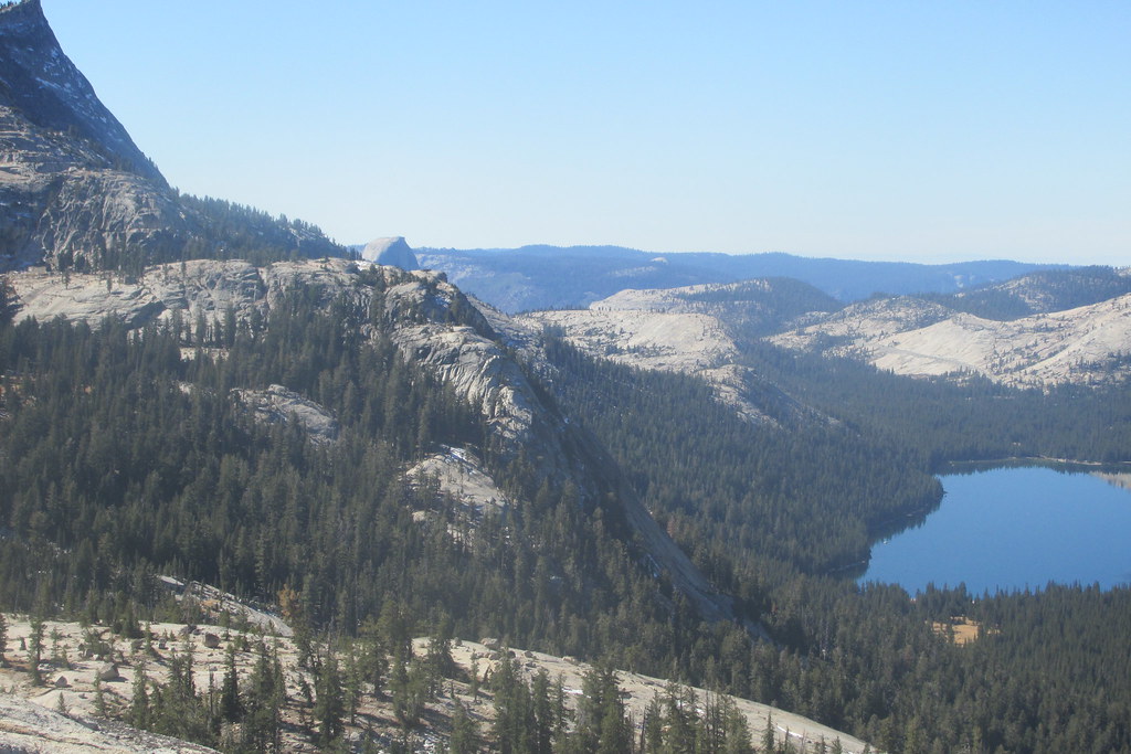
Even before reaching the top of the dome, the view down to Tenaya Lake was amazing
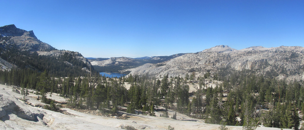 ,
,and it got better with the ascent.
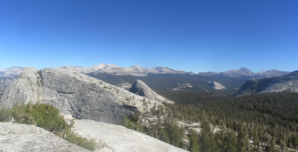
Soon enough the lower plateau on the west side of Medlicott Dome came into view
 ,
,as did the peaks to the south of Cathedral.
 .
.With the northward/upward progression, eventually Half Dome peeked through as well.
 .
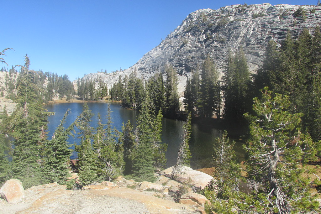
.Before completing the hike to the top of Medlicott Dome, I wanted a closer view of the small lake nestled below the dome on its western side. And there it was.
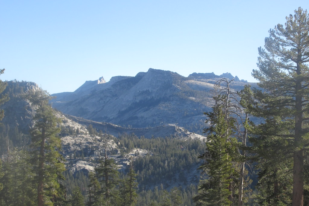
Circling back to the east and continuing the climb, Lembert Dome appeared. Being the first “dome” I’d hiked in YNP and thinking at the time that it gave commanding views of TM, it was odd to now be looking down on it.
Closer to the top, and peering around the east side of the dome, Fairview again became visible.
But now a minor challenge presented itself: how to get over a wall of granite 10 feet or so high.
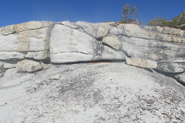
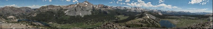
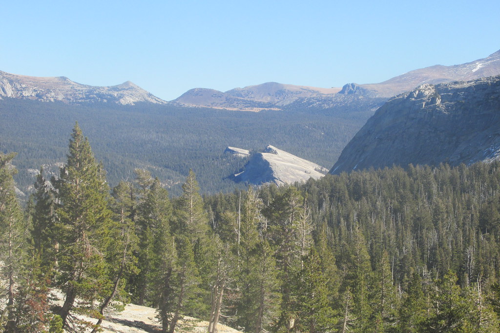
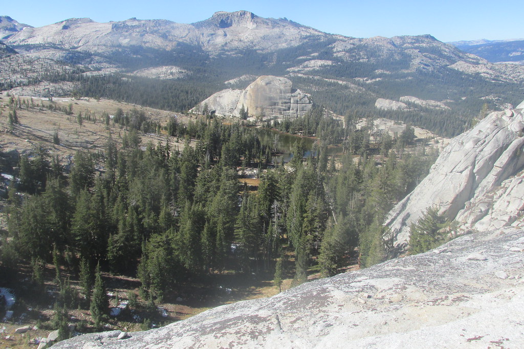
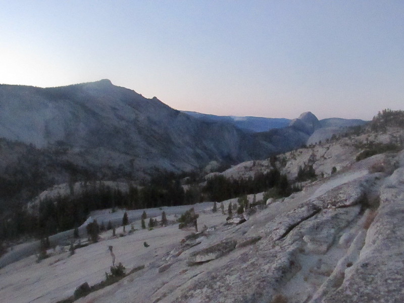
I went around to the left, and after some contorting and boosting myself backward onto a ledge that reminded me it’s been a long time since I was 18, I was home free and on top of Medlicott Dome, with a westward view to Tenaya Lake and a now clearly visible Half Dome framed by Tenaya Peak and Mt. Hoffman
 ;
;the park’s northern lands with Mariuolumne Dome directly to the north, including the small lake below that dome
 ;
;and Tuolumne Peak featuring prominently off to the northwest
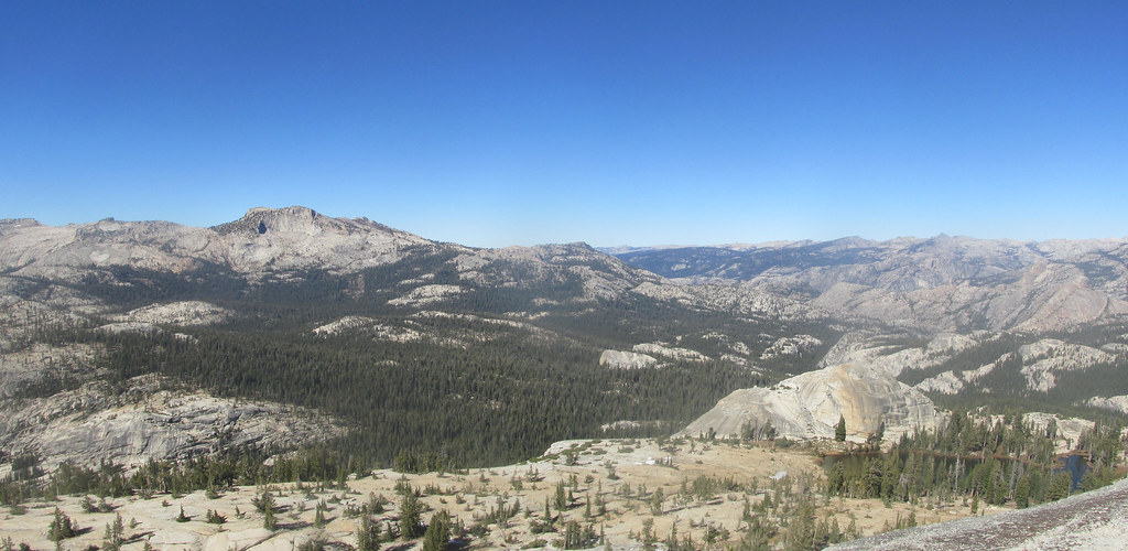 .
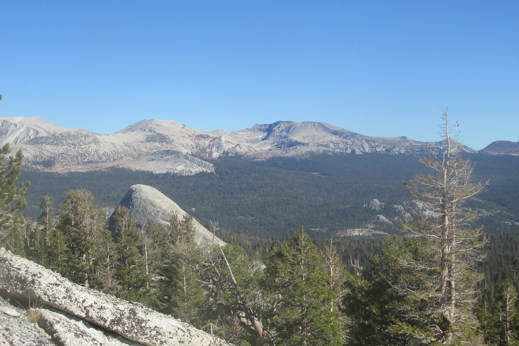
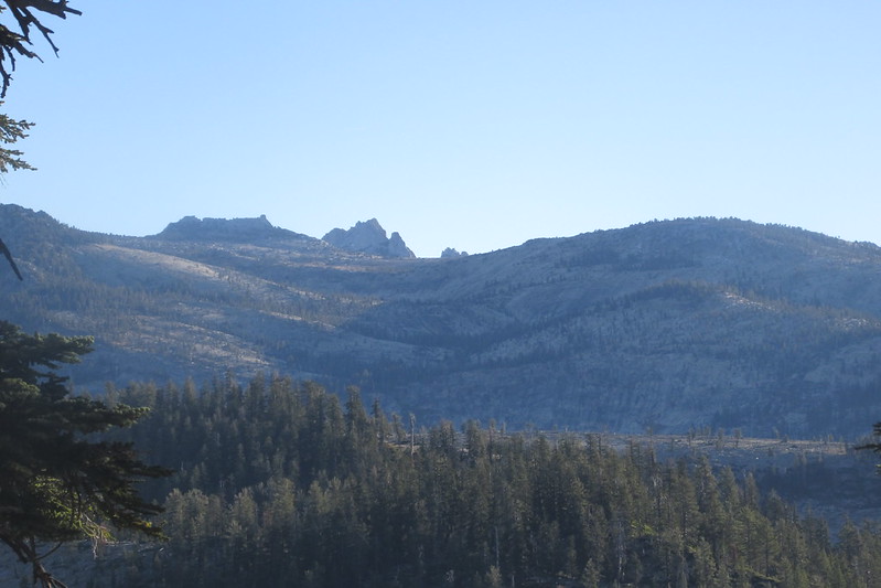
.Looking northeast, Mariuolumne, Fairview and Lembert Domes, as well as Mt. Dana, appeared in alignment
 ,
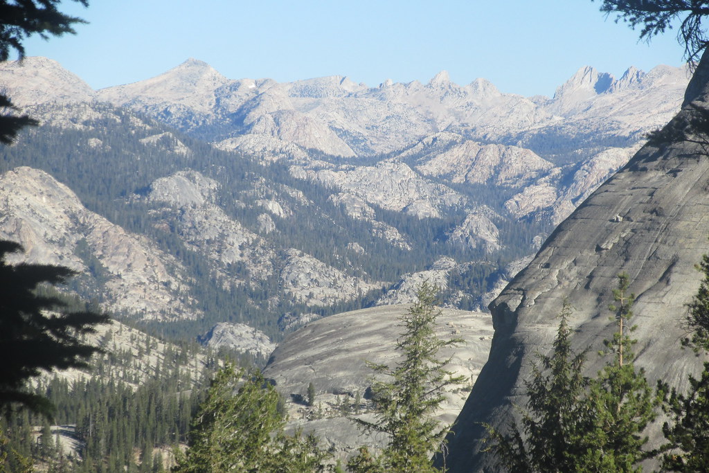
,and to the south the Cathedral Range as well as Tressider Peak reached into the sky
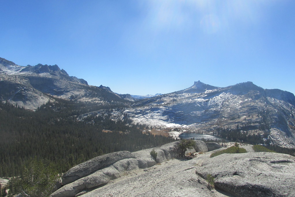 .
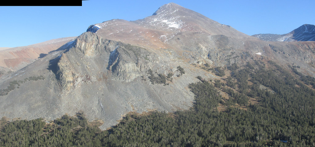
.After lunching, I descended down not-too-steep granite to the saddle between Medlicott and Mariuolumne domes, and then up the obvious ascent to reach the top of the latter.

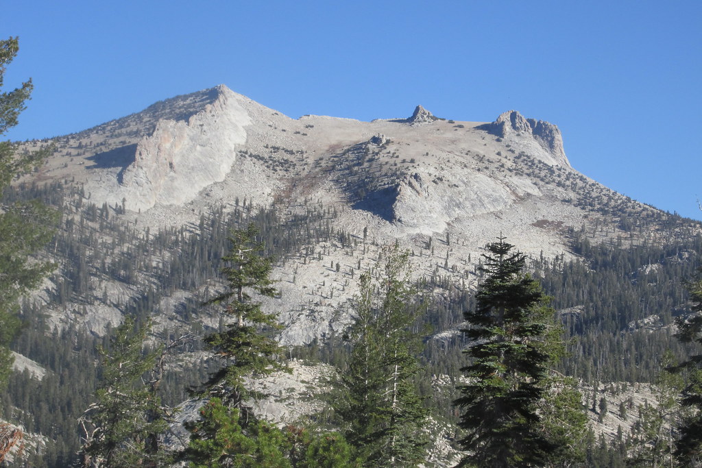
Fairview could now be seen in full, Mt. Dana towering over Lembert Dome to the northeast.

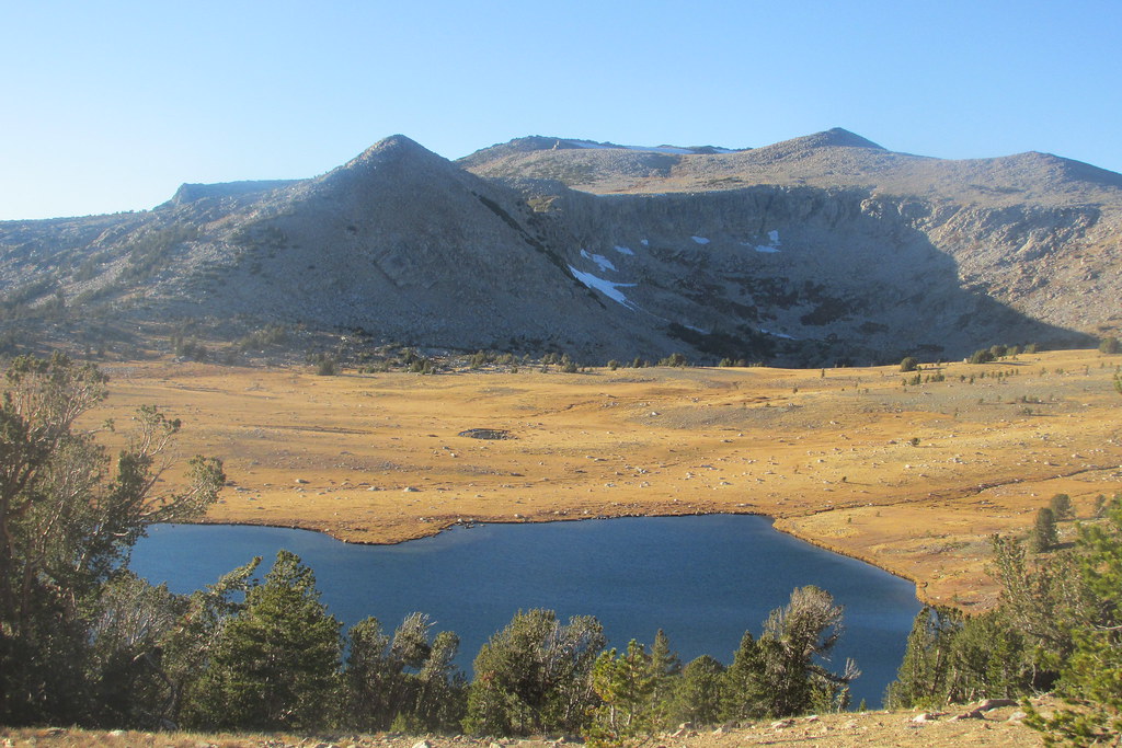
From the edge of the saddle the small lake between Mariuolumne Dome and the smaller unnamed dome to the northwest was visible.
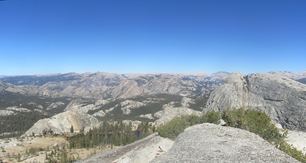
Although the crevice between the two halves of the top of Mariuolumne looked passable at its north end, I decided to leave that part for another day and instead to test my x-country skills. Did I mention that I thought I’d packed my compass but found I’d left it at home? (I did have a cheap compass on my keychain.) Clearly, by heading in a generally easterly direction, I would eventually cross the JMT again, without having to go all the way back to LCL (which, I had noted while on the domes, was now entertaining more visitors than it had when I had been there two hours before). The issue was doing so in an efficient manner. I crisscrossed down Mariuolumne and then down the saddle between it and Medlicott, using Cathedral Peak itself as my sight. I eventually came to a meadow, which I crossed (and now regret not having photographed), and then started a very gentle ascent toward the JMT. Saw this bone (anyone know what kind of animal?)

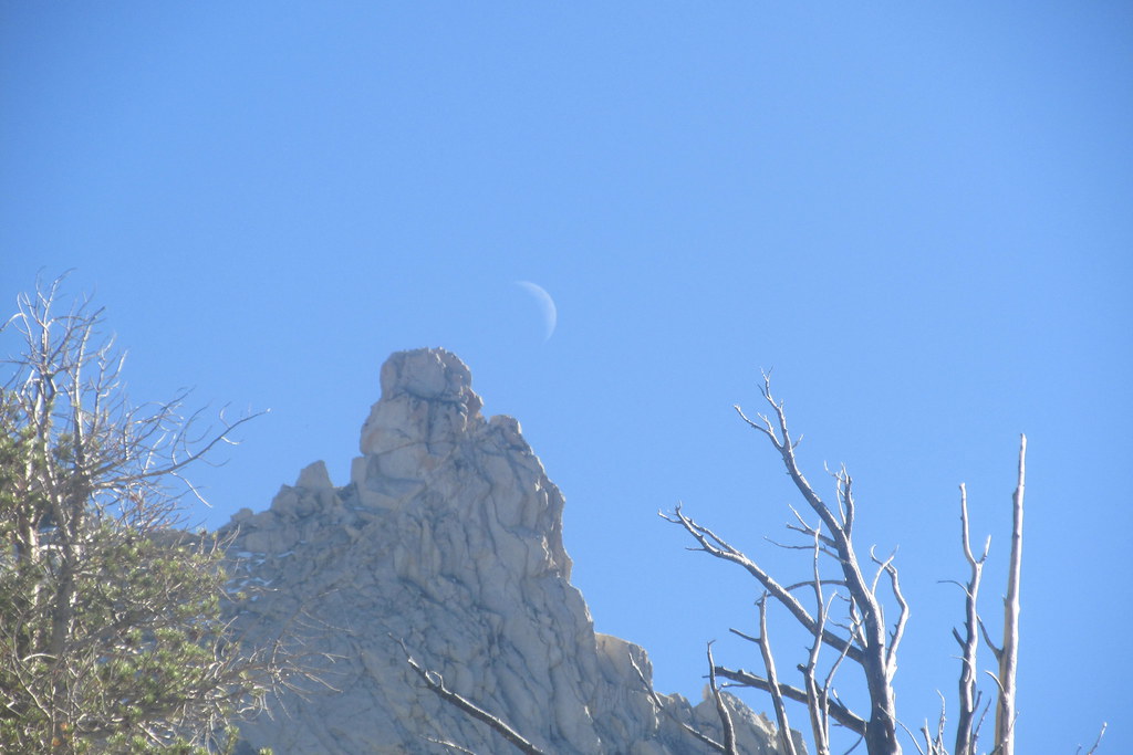
and caught an afternoon moon rising over Cathedral peak
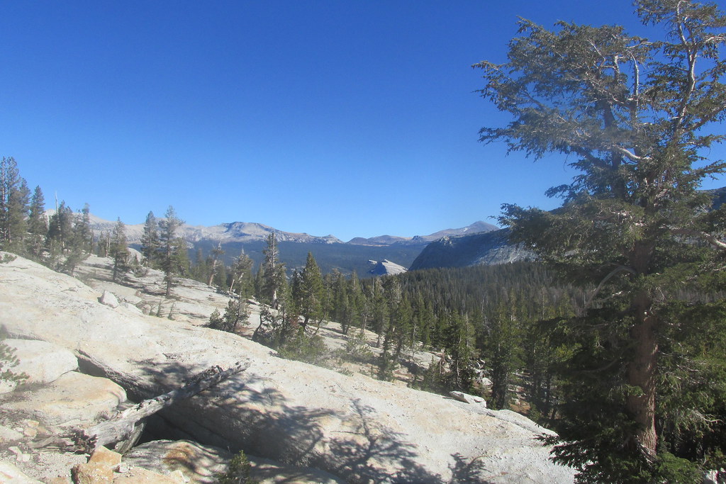
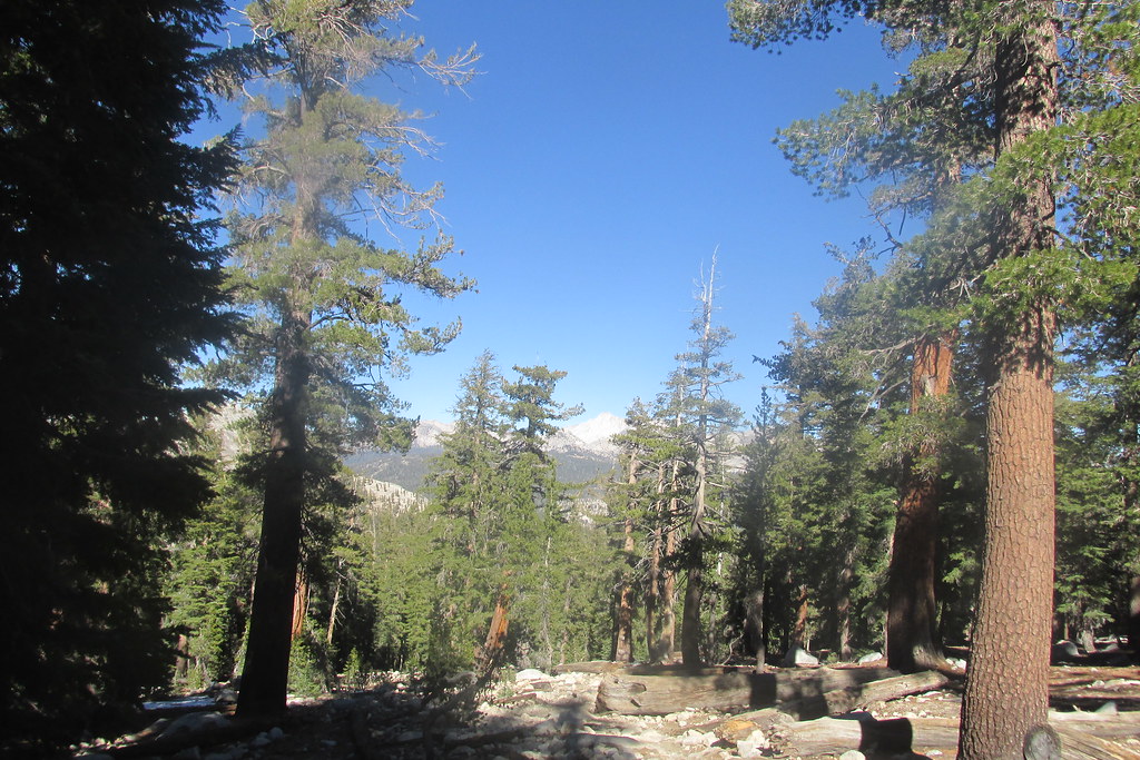
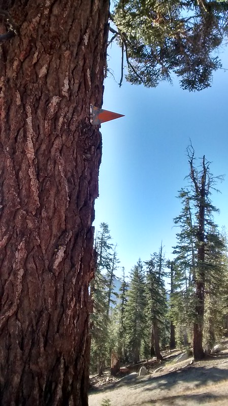
And then, as the ground leveled out, there it was – the JMT, right where it was supposed to be! I followed the trail back to car, enjoying the occasional views peeking through the trees.
And I encountered at least a dozen people making their way up to the lake.
What to do next – an easy stroll along the Tuolumne up to where the Lyell and Dana Forks meet? Meander along the river in the other direction, or maybe over to Soda Springs and Parsons Lodge? I decided instead to drive (slowly) toward Tioga Pass and just enjoy the views. And when I got there, noting the time and having already been to the Gaylor Lakes area in a year (2010) when there was still snow in late July, I decided to try to get to the top of Gaylor Peak, but I gave myself a cut-off time by which I’d need to be back at the car – I still needed to get all the way to Yosemite Valley to sleep, and I wanted to get there while I could buy some perishables, as I’d forgotten the cooler when I’d left the house.
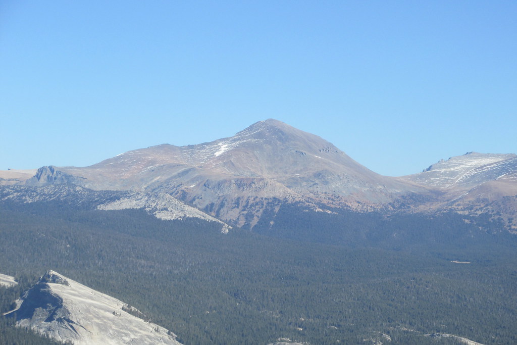
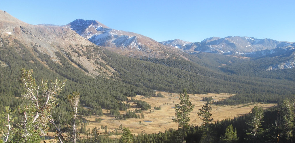
From the trail, Dana Meadow looked a lot yellower than the last time I’d been up this way, but still lovely, with some snow from the previous week remaining on Mt. Gibbs, Mammoth Peak and the Kuna crest.
But the going was slower than it had been in the morning, partly due to the slightly higher altitude and being later in the day, but no doubt mostly from the trail being steeper than the JMT to Cathedral Lake. By the time I reached the saddle where the descent to the lakes begins, it was clear I was unlikely to get to the top of the peak, but I decided to forge on anyway.
I did get a bit higher, and the views toward Dana Meadow and the Kuna crest opened up more.
 .
.Great views to the south were also forthcoming, but between the sun being behind the Cathedral range and the schmutz (that's the technical term for it) that I discovered had been on my camera lens all day, and that would have to wait until I was back in civilization with a lens cloth to remove, good photos in that direction were not.
With the shadows getting longer, it was time to head back to the car.
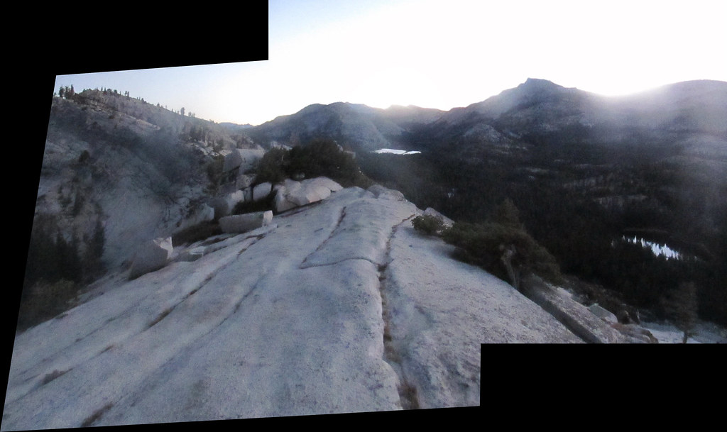
I took the drive west on Tioga Road slowly, to enjoy color of the rocks in the low sun, accompanied by the finale of Mahler’s 2nd at full blast. Reached Tenaya Lake just before rehearsal number 48 in the score (around the 5:00 mark of the clip)
Got to the Olmstead turnout to get the last bit of Alpenglow on Tenaya Peak and Clouds Rest
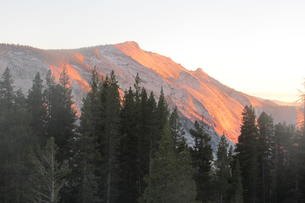
The smoke near LYV was also visible.
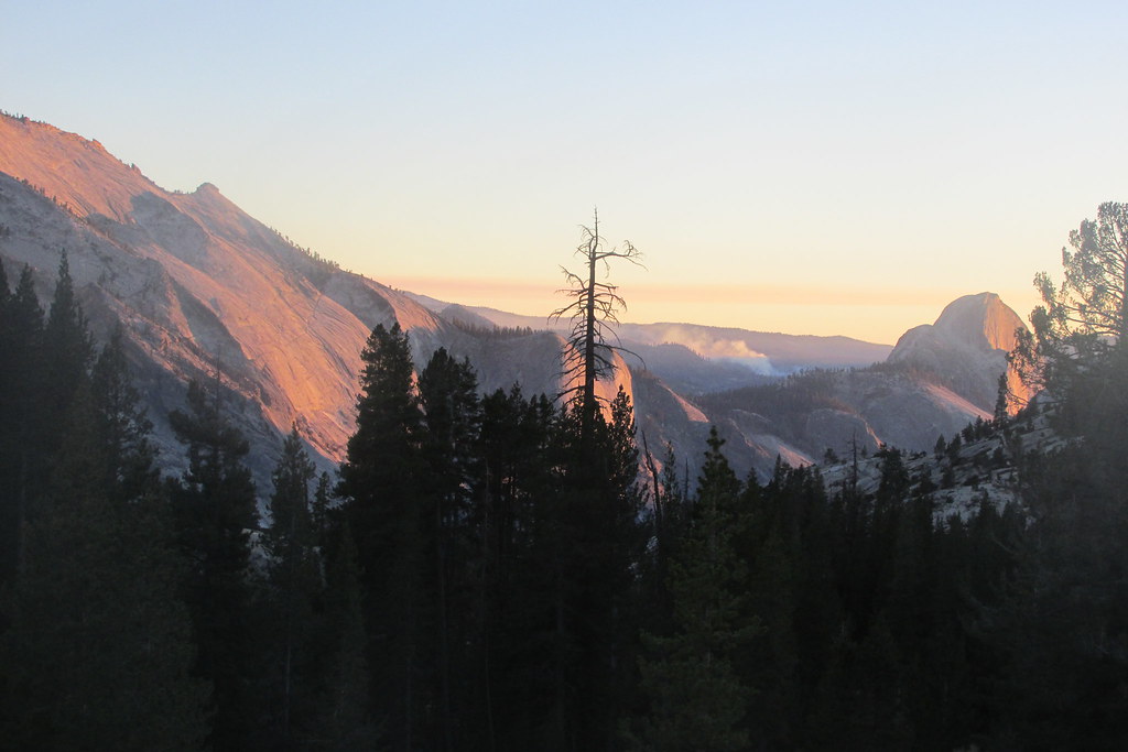
And there was still enough light to get a nice view of Mt. Starr King at one of the next pullouts.
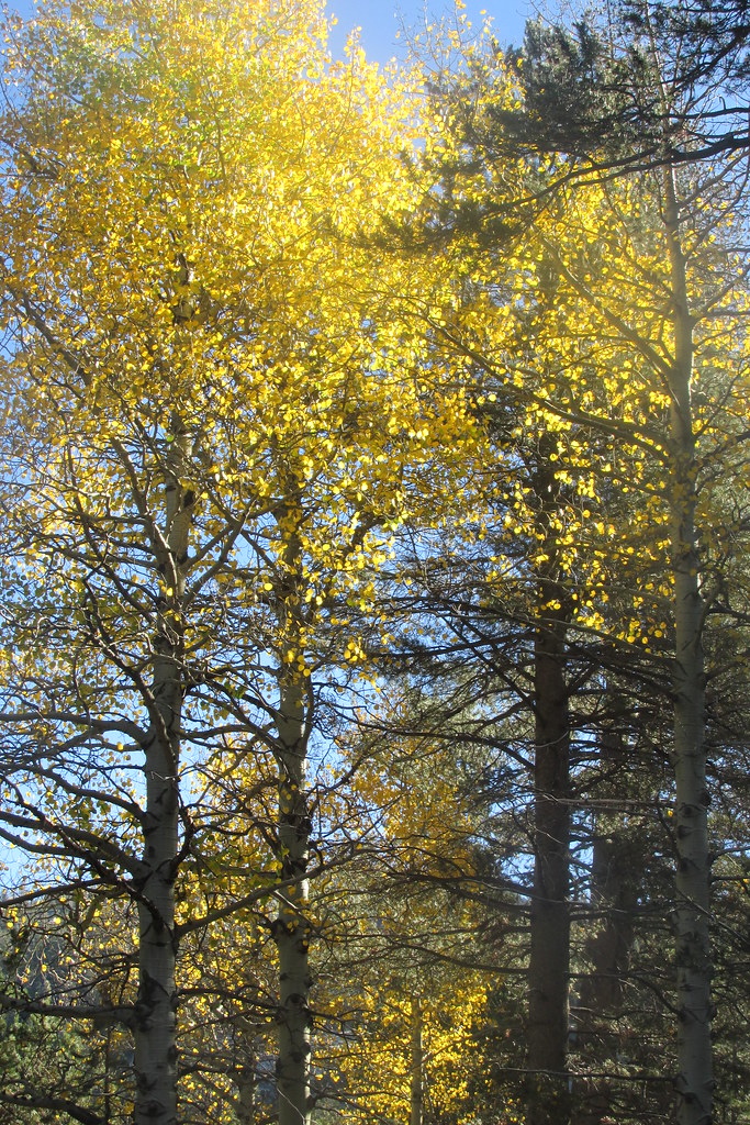
Among the things I had wanted to see on this trip were the leaves of the deciduous tree changing colors, as we get very little of that where I live, but I saw none of it in the TM area, and by the time I arrived in the valley, it was dark. It was, however, early enough in the evening that I got to see lots of climbers’ lamps on El Capitan. Very cool, even if my point-and-shoot camera wasn’t up to the task of recording what I saw. As expected, the valley smelled smoky, and I’ll never understand why under such conditions some campers still insist on making campfires. I picked up some things at the Curry Village store, had dinner, cleaned up, and was asleep before 9.
I woke up at what I thought was 4 AM and stared at the stars for a while, another thing I can’t enjoy at home in the city. I got out of bed and then discovered that it was now 3:30, not 4:30. I briefly contemplated trying to knock off another one of the spots on my to-do list, namely to go to the top of Liberty Cap via the JMT, but decided it was too much in the short amount of time available – I needed be out of the park by 11 to allow me to do everything needed to catch a flight home from SFO at 7:30 in the evening. In retrospect it was just as well: unbeknownst to me, the upper section of the JMT was closed, and there was no way I was coming down the upper part of the Mist Trail – too tough on my knees. So I packed up and drove back to Tioga Road in the dark, found a pullout with a better vantage of the sky and less man-made light around than my campsite had had, and enjoyed the view. Saw a few meteors to boot.
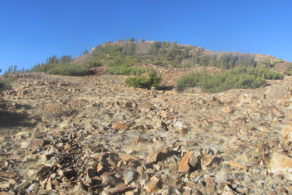
When it started to get light in the east, I continued on to the Olmstead turnout – I was the only one there – and then proceeded on foot up the ridge on the north side of the road.
one car in the parking lot!
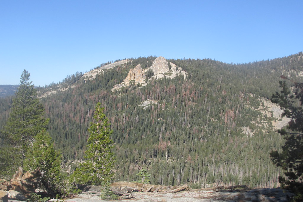
There are some TRs on this site about this ridge, and someday I’ll follow the ridge all the way around, but on this trip the goal was just to get to the top of the part of the ridge closest to the road. Unfortunately, at this point the batteries on the camera started to go, and I had already gone through my spares, and the schmutz was still on the lens which meant photos with the sun in front came out poorly…which left me with my crappy cell phone camera. That didn’t detract from the views, including the lake between Tenaya Lake and Olmstead that’s not visible from the road.

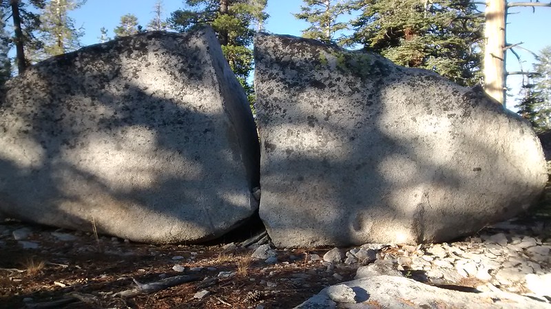
Eventually I went back to the car in the now-very-windy-but-still-very-uncrowded Olmstead parking lot, ate some breakfast, and then continued up the road to the trailhead for this trip’s last adventure, an attempt to get to Mt. Watkins. I parked near the quarries, and had no problem finding the use trail that branches off the main trail when the main trail turns southwest down toward Snow Creek...but then I lost it. Thinking I could try any not-too-steep route down, I continued up the hill, and came upon this large rock, which reminded me of a cracked egg.
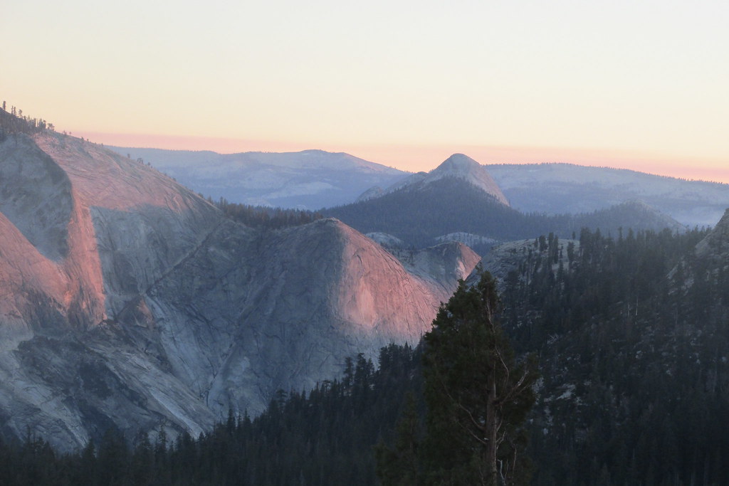
I then began making my way down, getting some nice views of HD and Starr King again, and I could clearly see my intended destination, but there was too much manzanita to get there in the time I’d allotted.
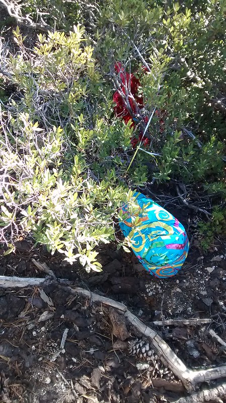
So I started back up the hill, leaving Mt. Watkins for another trip as well. On the ascent I encountered a pair of Mylar erratics, which I took with me,
and eventually I found the use trail I’d lost earlier, which, I discovered, is a snowshoe trail in winter.

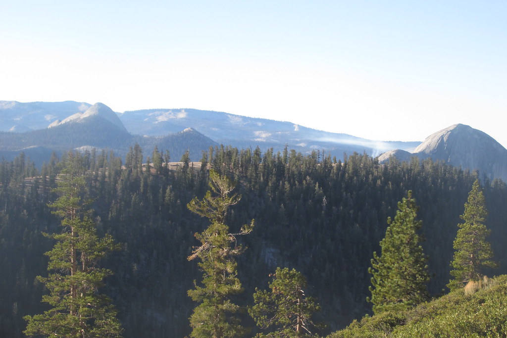
I reached the plateau south of the quarries with a few minutes to play around. So I looked back at where I’d been the day before
and then wandered over in the direction of Snow Creek. This provided nice views of Mt. Hoffman
 ,
,Coyote Rocks
and the whole upper part of Snow Creek canyon
 ,
,and, in a different spot, North, Basket and Sentinel domes and part of Indian Ridge
 .
.Down in the now-dry creek bed, there were also a few yellow leaves to be found.
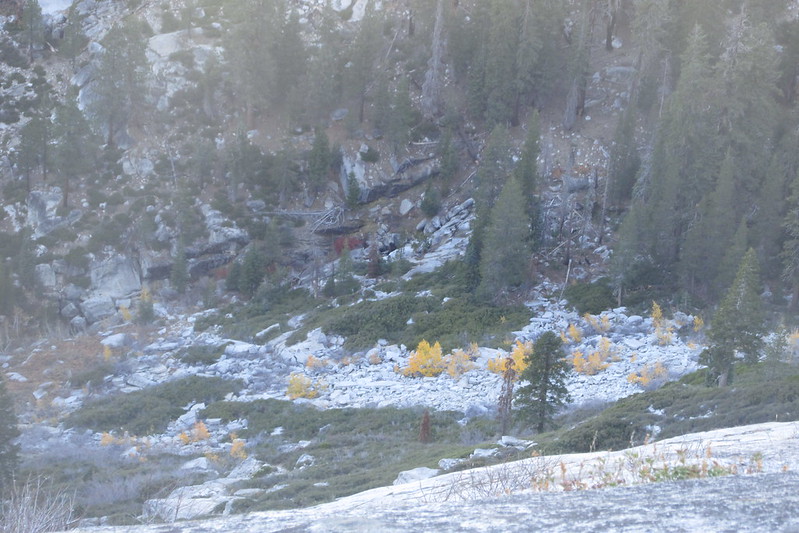
I went back to the car and reluctantly started the drive west. On the drive out, I got a better view of changing leaves by the bridge over Yosemite Creek.
 .
.I was out the BOFR exit by 11 and caught my flight home in time. As always, I wish I could have stayed longer, but I got to do and see much of what I'd hoped to do and see. Don't yet know when the next trip will be, but I'm already looking forward to it.
Edited 4 time(s). Last edit at 12/06/2017 05:12AM by Not quite The Geezer, but getting there.