
The following is a rough line-point of our route.
Route.
On Day one we made our way from the trailhead at Dana meadows, exiting the park and making camp near the parker creek below Mount Lewis and Koip Peak. The heavy water year was still very present in mid-July and provided for an abundance of water sources, and many springs:
 IMG_9810 by USDTORERO14, on Flickr
Photo near camp:
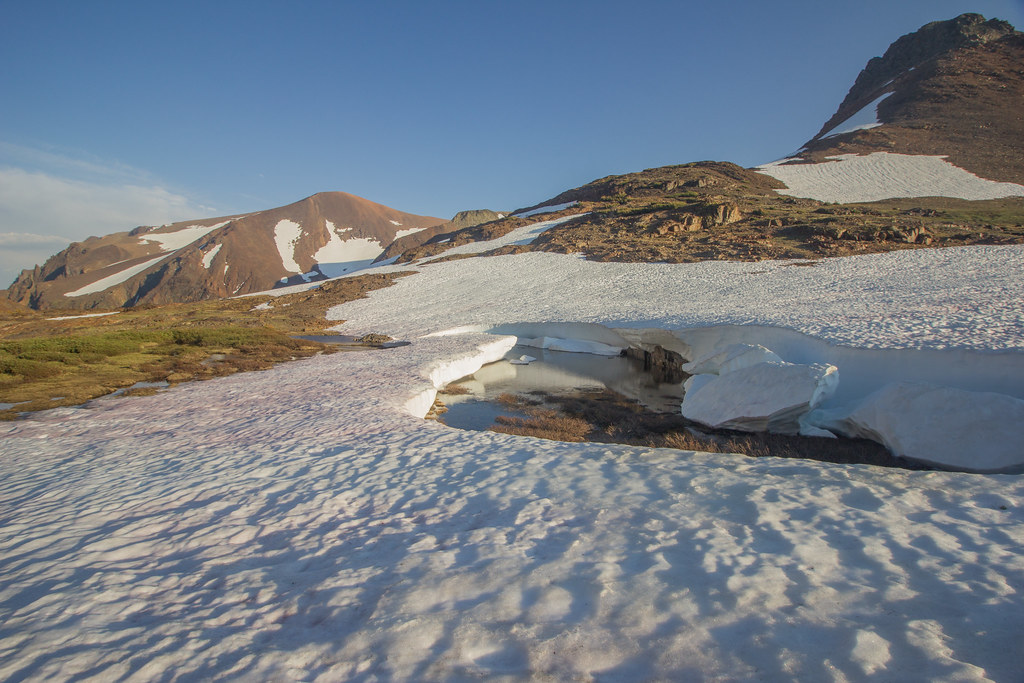 IMG_9821 by USDTORERO14, on Flickr
Another couple photos near camp:
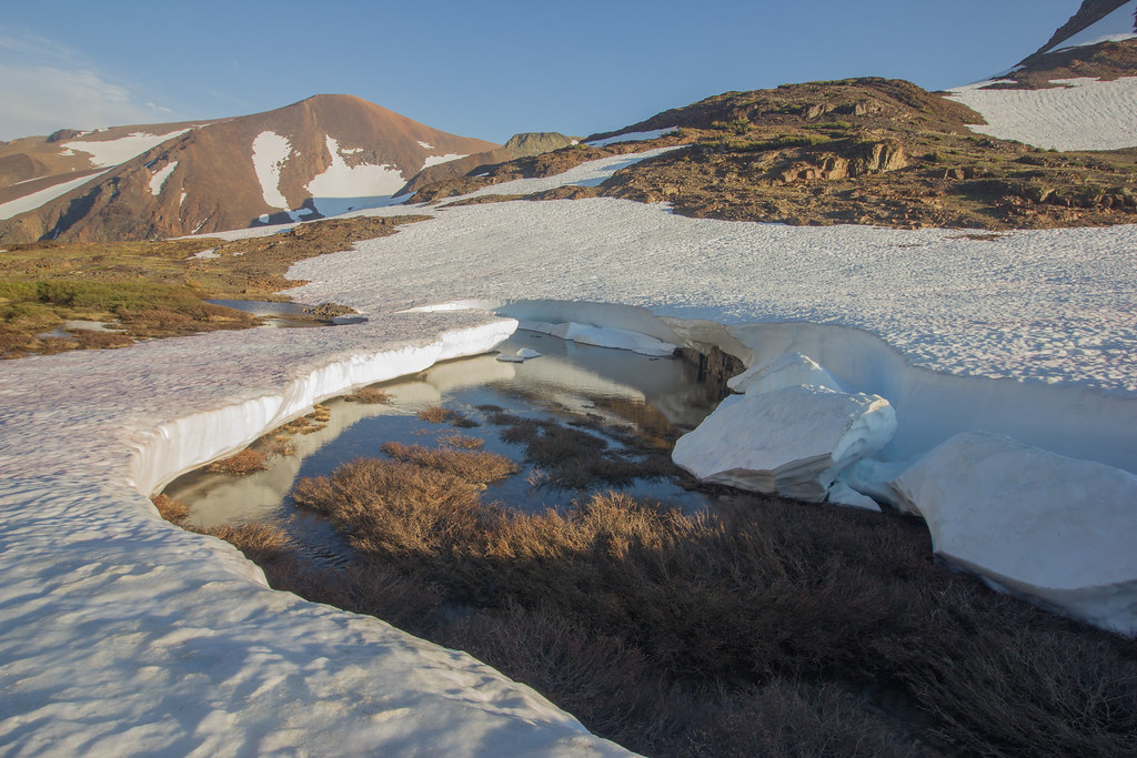 IMG_9822 by USDTORERO14, on Flickr
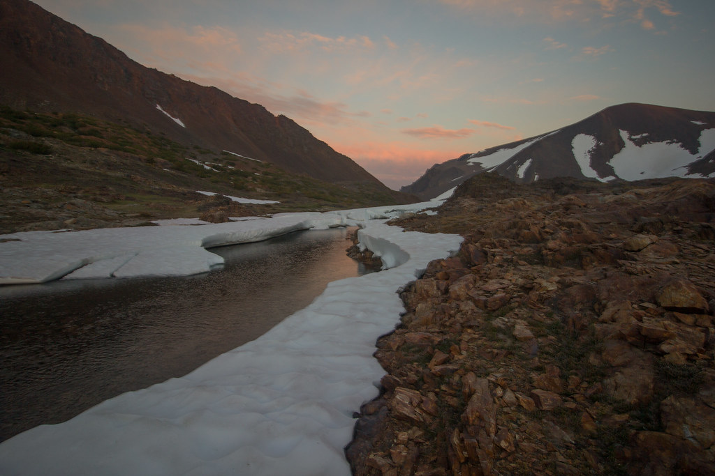 IMG_9825 by USDTORERO14, on Flickr
On day two we made our way up the ominous switches on Parker Peak. Fortunately, they looked worse than they were and the flowers and views along the way made it quite enjoyable.
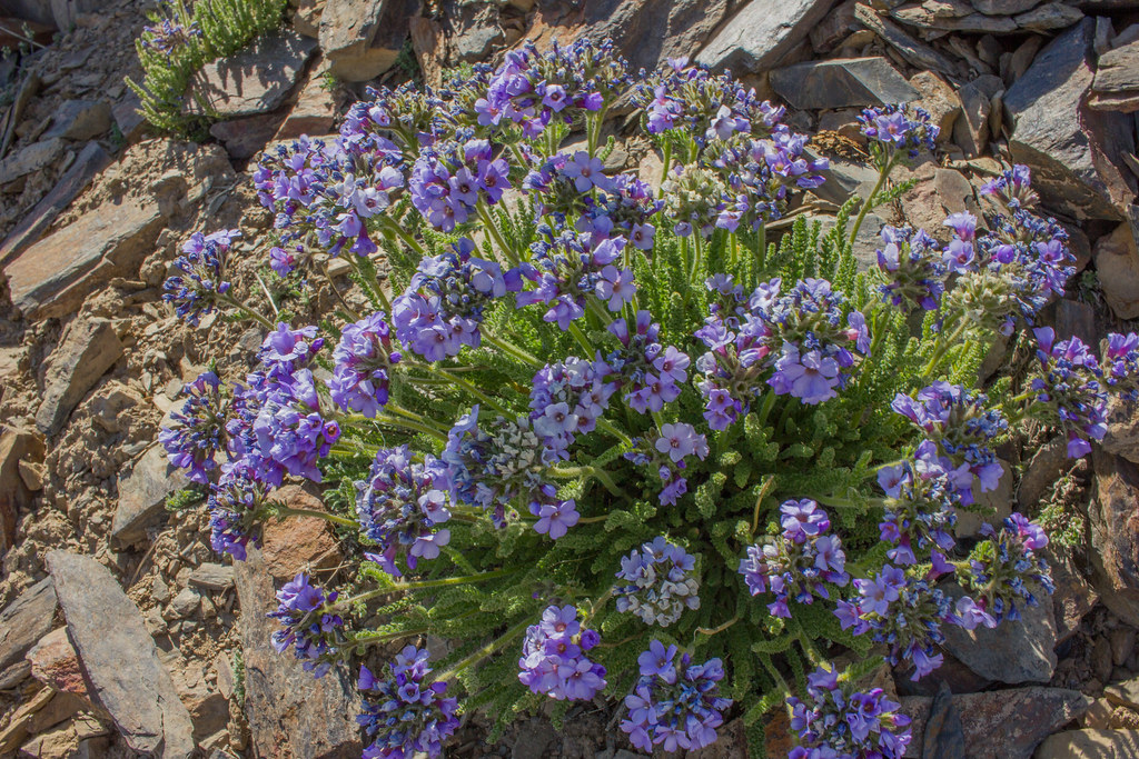 IMG_9853 by USDTORERO14, on Flickr
View from end of last switch:
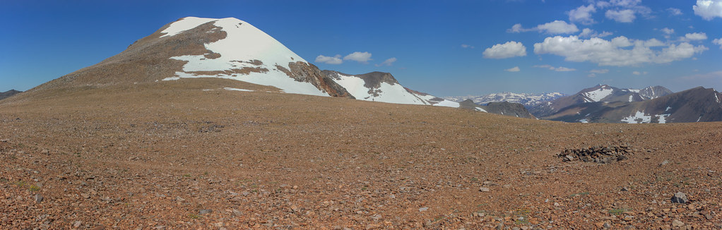
 IMG_9854_stitch by USDTORERO14, on Flickr
The view back towards Yosemite from Koip Peak Pass:
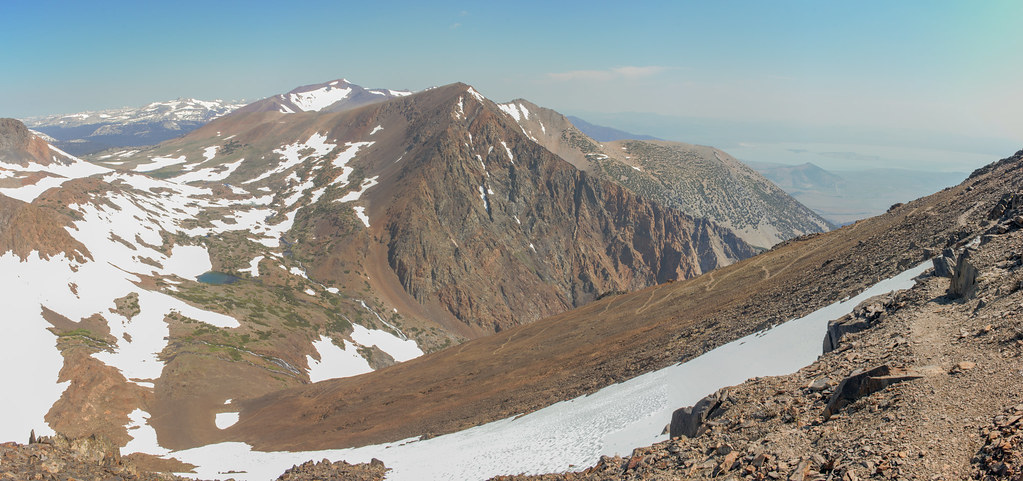
 IMG_9863_stitch by USDTORERO14, on Flickr
Looking down into Inyo at Alger Lakes from Koip Peak Pass:
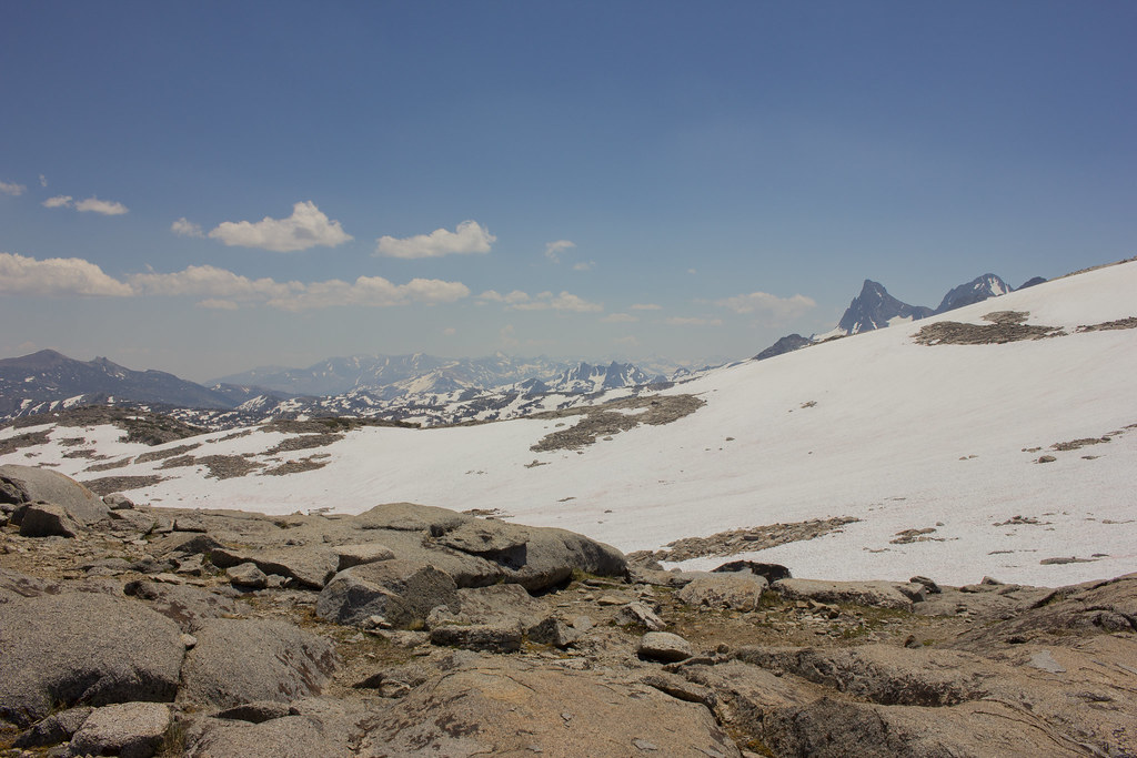
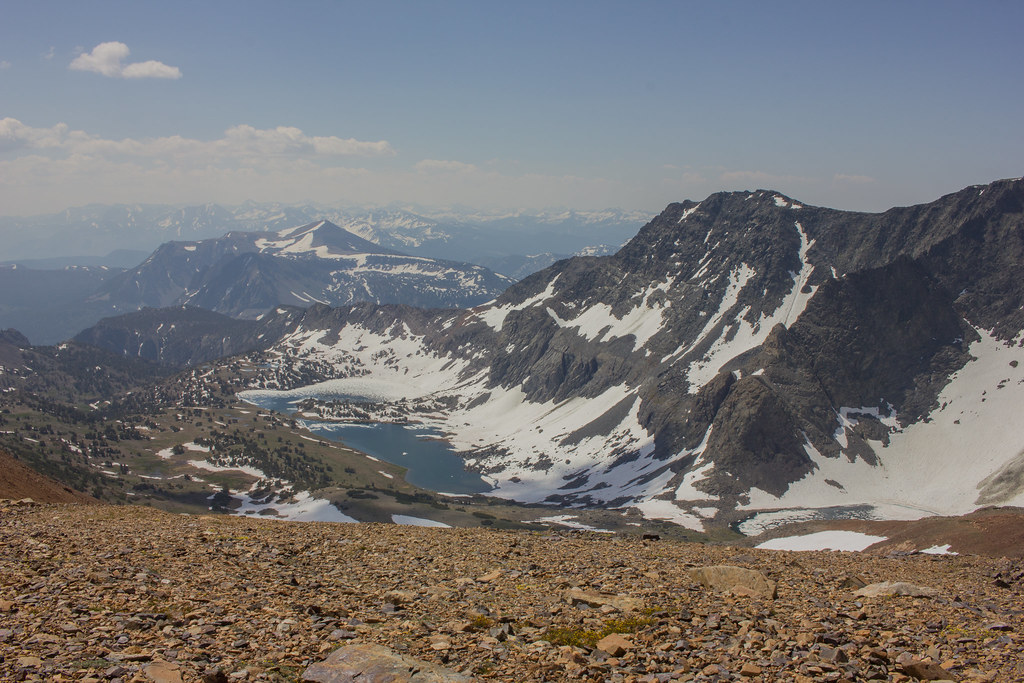 IMG_9870 by USDTORERO14, on Flickr
We made our way down the steep slopes and towards Alger Lake for lunch:
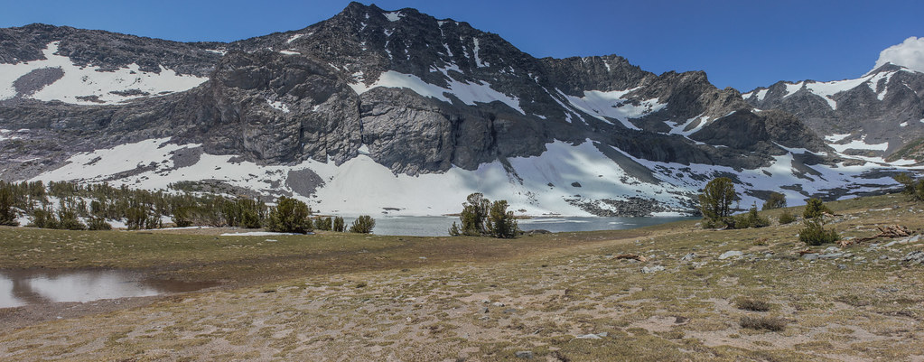 IMG_9879_stitch by USDTORERO14, on Flickr
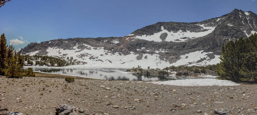 IMG_9884_stitch by USDTORERO14, on Flickr
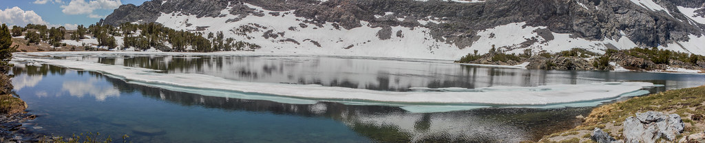 IMG_9891_stitch by USDTORERO14, on Flickr
From here we descended down to Gem Lake:
 IMG_9906_stitch by USDTORERO14, on Flickr
Somewhere near Gem Lake, but before reaching Rush Creek we came upon a sign indicating the trail along Rush Creek to Waugh was closed. Our options were to turn around and climb everything we had just descended. This didn't sound too appealing. Or we could make our way out to Mammoth. Only problem was our car was at the trailhead in Yosemite. We later found out that Waugh lake damn was in danger of failure. Of course we obeyed all laws and regulations. From what I hear Rush Creek was amazingly powerful.
We somehow found ourselves at Waugh Lake for night two.
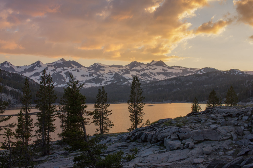
 IMG_9917 by USDTORERO14, on Flickr
The sunset was a treat:
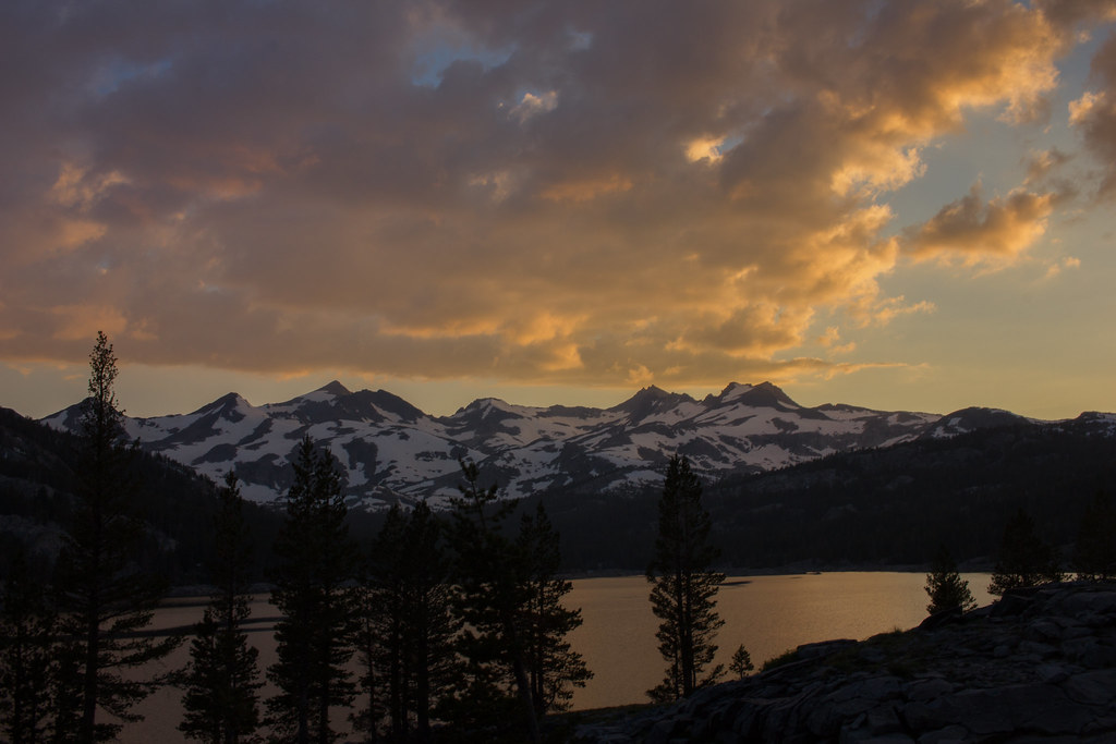
 IMG_9925 by USDTORERO14, on Flickr
The morning view wasn't too bad either:
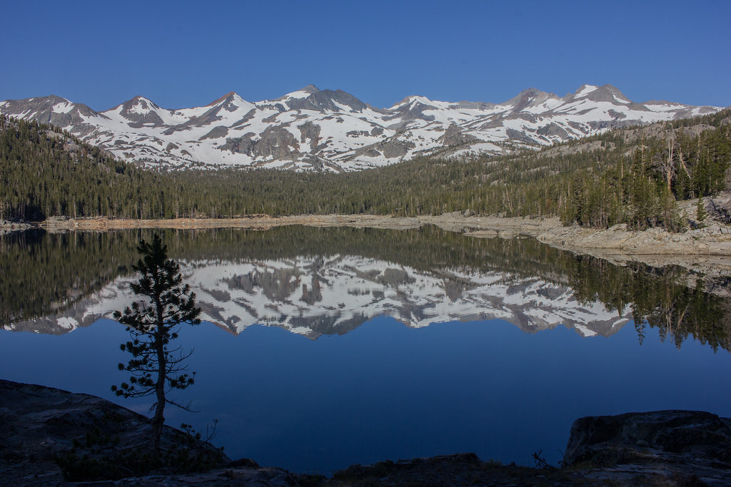 IMG_9943 by USDTORERO14, on Flickr
We made our way to the PCT and started the slowish, snowy ascent up Donohue:
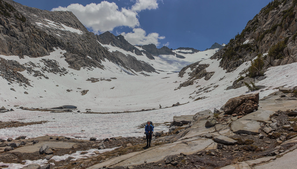
 IMG_9958_stitch by USDTORERO14, on Flickr
Me:
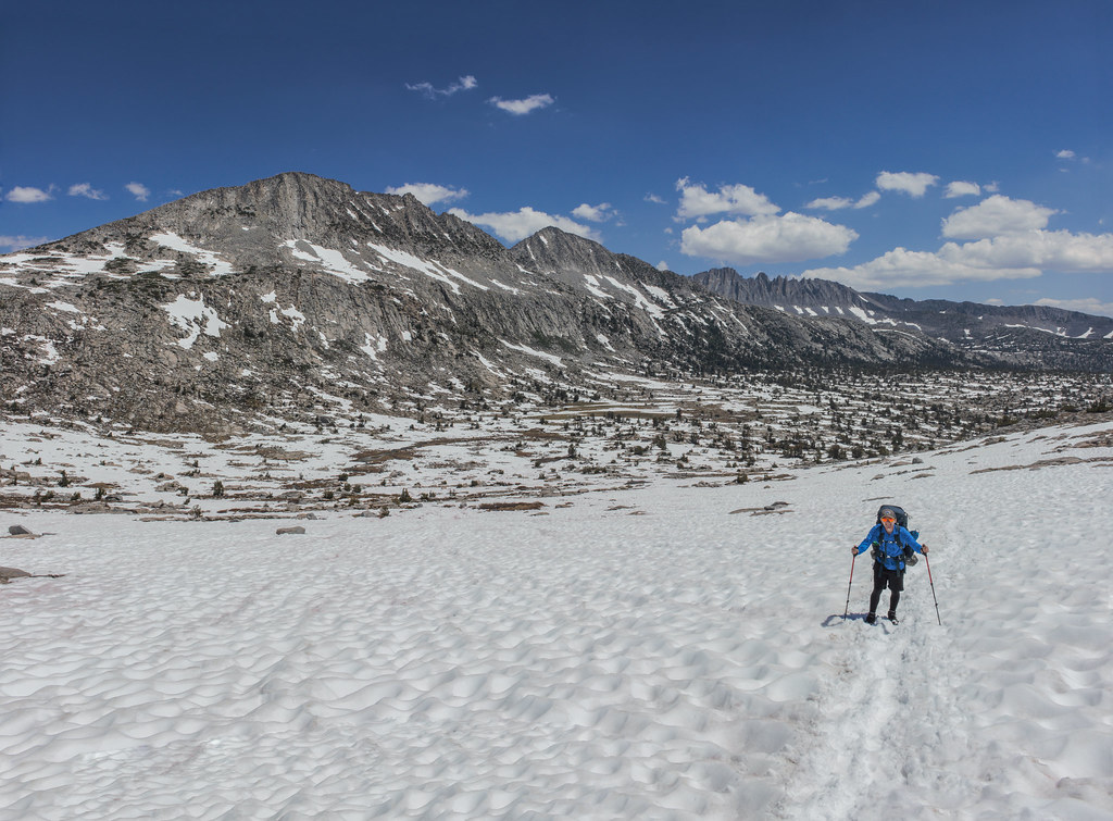
 IMG_9962_stitch by USDTORERO14, on Flickr
View back into Inyo from near Donohue Pass:
 IMG_9966 by USDTORERO14, on Flickr
Cathedral Range:
 IMG_9967_stitch by USDTORERO14, on Flickr
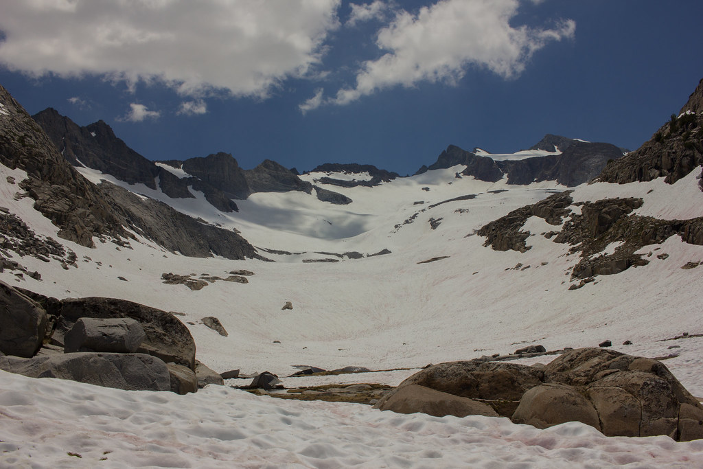 IMG_9975 by USDTORERO14, on Flickr
 IMG_9976_astitch by USDTORERO14, on Flickr
For perspective:
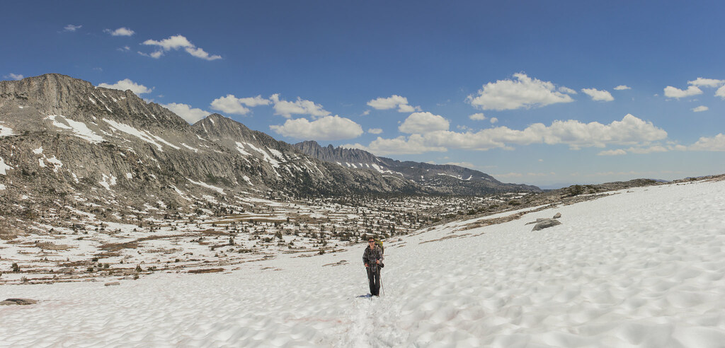
 IMG_9981_stitch by USDTORERO14, on Flickr
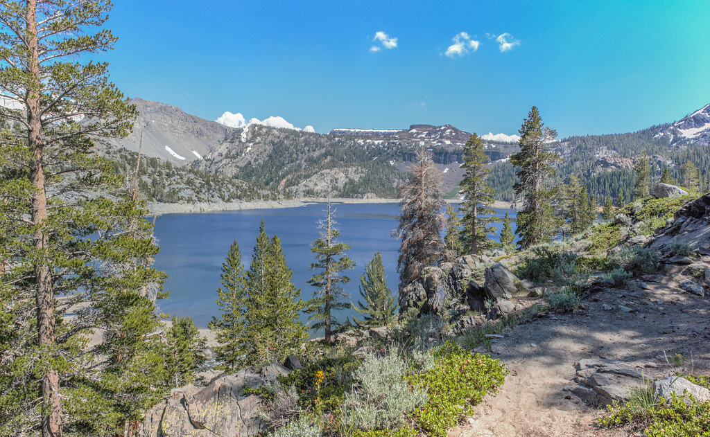
Lyell Canyon was lush and quite peaceful:
 IMG_9994 by USDTORERO14, on Flickr
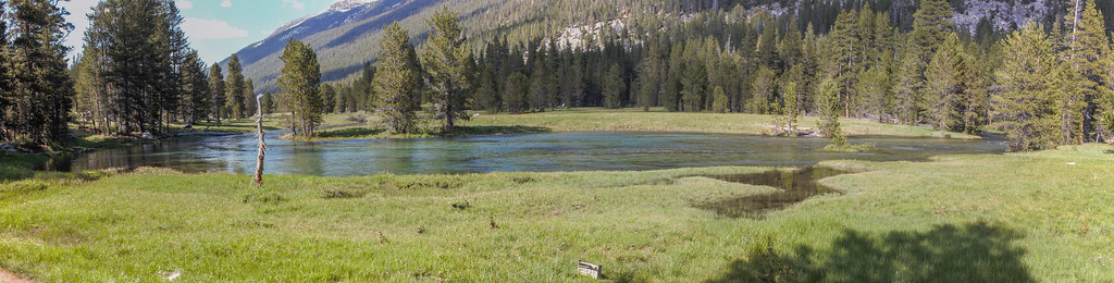 IMG_9996_stitch by USDTORERO14, on Flickr
We spent our third night below potter point and hike out in the morning.
Sorry so short. I have more photos if looking for something in particular.
Edited 2 time(s). Last edit at 02/07/2018 09:51PM by Torero14.

