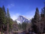
NOAA says it could be another warmer, drier winter ahead for the West:
http://www.usatoday.com/story/weather/2012/10/18/winter-weather-climate-forecast-noaa/1641393/
Re: El Niño a no-show?
All posts are those of the individual authors and the owner
of this site does not endorse them. Content should be considered opinion
and not fact until verified independently.
Sorry, only registered users may post in this forum.


