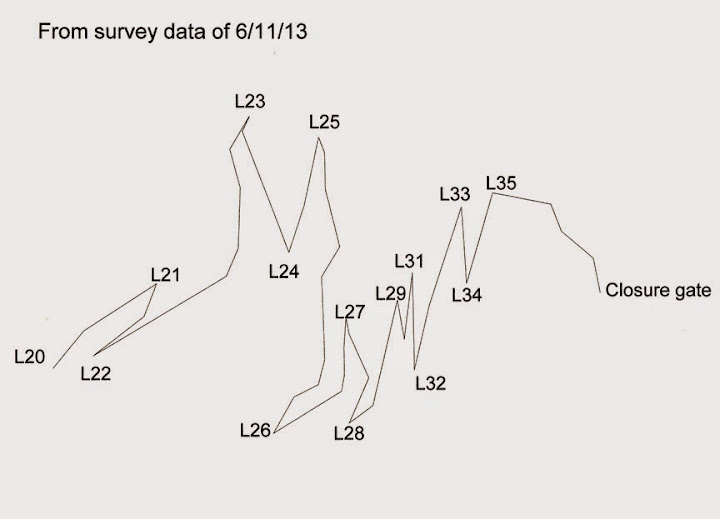
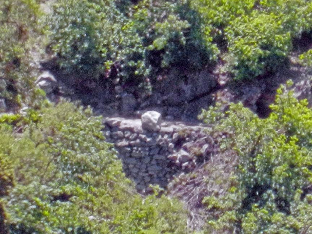
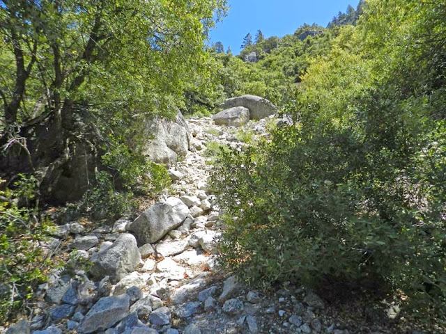
At home... so I spent some time putting together the various pieces had lying around.
First of all... thanks to everyone here that contributes to this sort of thing.
Many years ago I asked on this site about old maps and trails... and it has really
blossomed. It's amazing these old maps and the number of old trails one can find.
Looking around last week found yet another couple hadn't seen before.
Anyway, I'm impressed with your mapping. Very neat. What I was showing on the
first post was that the GPS track is pretty good. Well... very very good.
The bottom section there... that is the old trail in some pieces... I was on a hike
with the wife up 4 Mile and I just "had" to hike the old section... and then after the
creek had to again go look for the old trail... funny thing is... basilbop caught
me with my hand in the cookie jar there... unknowingly we ran into each other
and hiked that section east of the creek. It's in great shape. Above there to
the Union turnoff... I think the rest is obliterated.... so it would be interesting to
hear if anyone has seen any old portions there.
The second post has all of the lower four mile ... along with a little jaunt to base of
Sentinel Falls.
The key with those 2 posts were that you can really get some nice tracks with a good GPS.
Absolutely no post processing was done on those gpx files.
Since haven't hiked Old 4 Mile in one fell swoop... I have to edit and merge and whatnot...
But after a bit of that...
Putting it all together we end up with something like this:
Old Four Mile on modern map:

Or
Gmap4 Link with GPX Track of Old 4 Mile TrailHere is a track of Current 4 Mile in it's entirety:
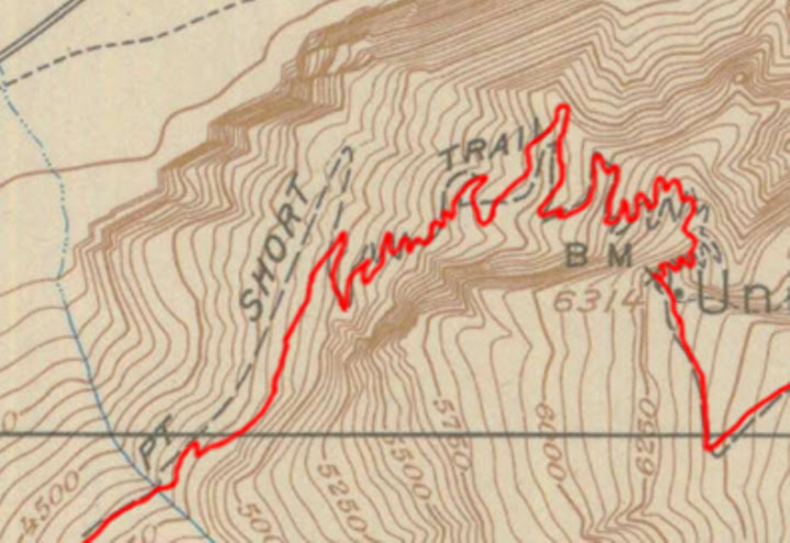
Gmap4 Link with GPX Track of Current 4 Mile TrailIf I overlay my Old 4 Mile Trail track onto a 1918 map it ends up coming out like this:

And here's a few captures of MapSource screens of my tracks:
Lower Portion
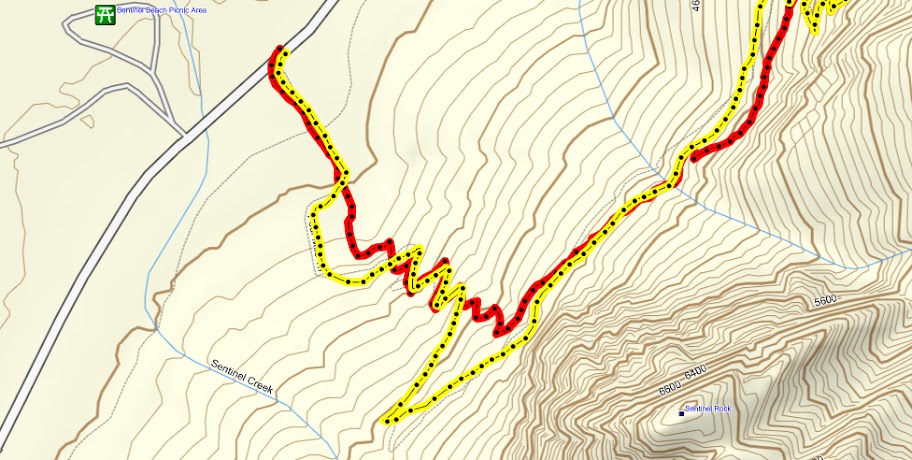
Section that you said has 35 (looks about right)

Upper Switchers
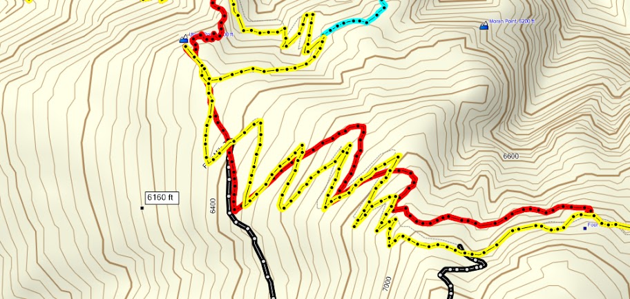
And if you want... here's the whole thing on Gmap4 ... complete with trek along Waterworks and to Sentinel Trail
Gmap4 Link to GPX with 4 Mile TrailsHopefully you find this of interest.
Feel free to snag the .gpx files and play around... and copy or d/l any of the pix.
Have fun




 Another one for my collection. I hope you (and gmap) don't mind that I downloaded some screen shots to study later.


 At first it looked like yours was missing a couple of switchbacks but they're actually in there. Now I am impressed. Here's that part of yours at higher magnification:


