
After we listened to the lecture and picked up our permit, we hiked up the Lyell Canyon trail. The trail was muddy in a few places, but mosquitoes were not a problem up to the headwall. We of course encountered numerous hikers--this is after all the JMT and PCT as well as the main connector for those traveling between Yosemite and the Ansel Adams/John Muir wilderness areas to the south.

The hike was pleasant (if not a bit familiar), but soon enough we could see the tall peaks of the Lyell group, and not soon thereafter, the first real climbing of the hike began:
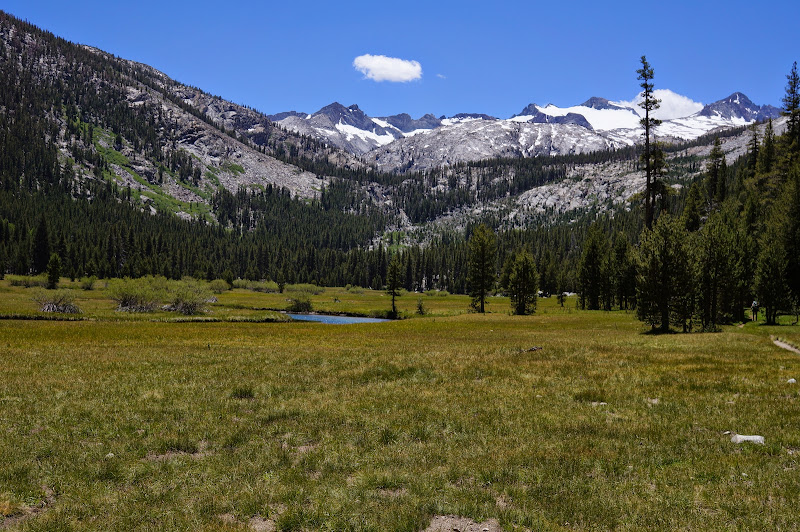
Upper Lyell canyon Photosynth
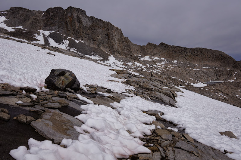
The climb slowed our pace, and unfortunately, between the bridge and the second crossing (I've seen this place called "Lyell Base Camp" ), the mosquitoes were out in force:

Base Camp Photosynth
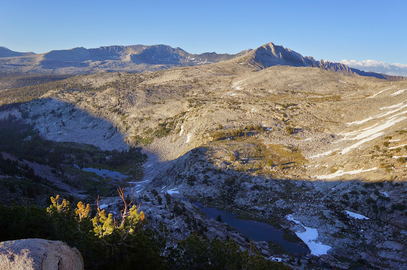
Despite the clouds, we weren't concerned about the weather--at least that day. In time, we approached the third crossing and looked back at the Kuna Crest and the "Base Camp" area:

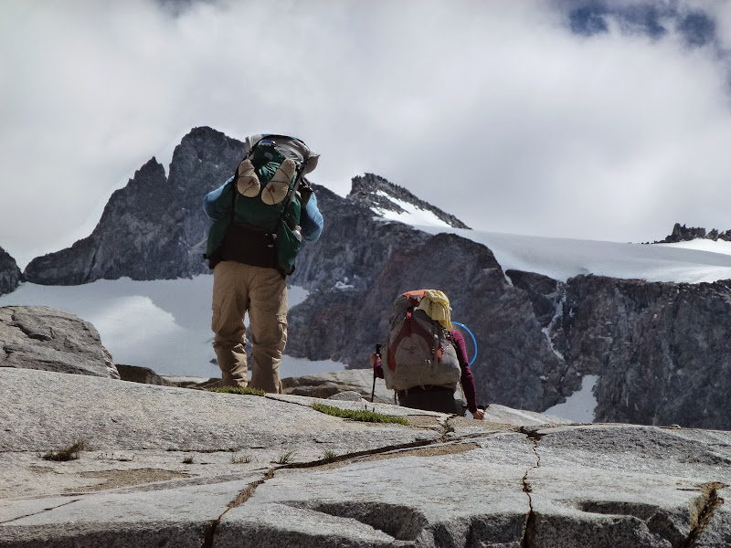
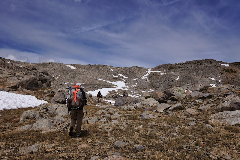
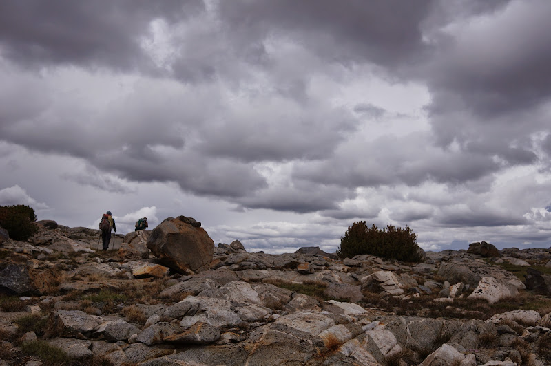
Just before the third crossing, we left the trail for what would be 20-some hours of off-trail fun, climbing closer to the Lyell headwaters basin:

Photosynth with broken hiker
I think we all felt the altitude a bit as we approached our campsite around 10,900'
Despite it still being June, we were able to avoid almost any contact with snow... conditions were roughly what we had encountered in September two years ago.

Photosynth
Once in the flat area south of Dome 11061, we located a decent campsite with excellent views of Lyell and stopped for the day. While there were a few mosquitoes, they were not nearly as bad as they had been around the "Base Camp" earlier.
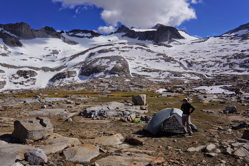

Campsite Photosynth
After dinner we took a short hike to the top of 11061 and took in the views of the Lyell/Donohue area as well as the Kuna and Koip crests in the distance.
This being almost the longest day of the year, the sun was late to set, and the full "supermoon" rose not too long after.

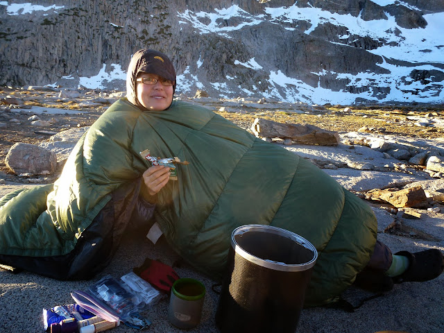
The nighttime temperatures had been mild--just a bit of frost--and a bit of luck: the sun rose over the low pinnacles of the Koip Crest, bathing us with warmth as we enjoyed breakfast:

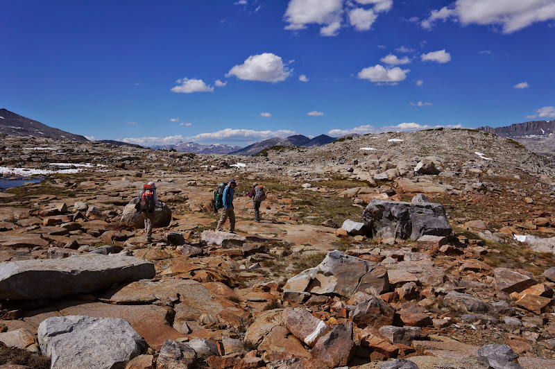
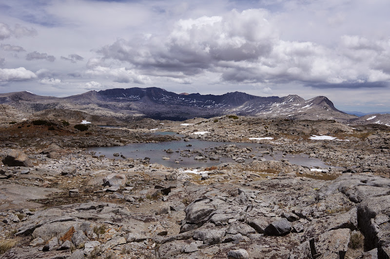
Our plan for this day was to cross into the Ireland Basin via the Maclure Creek headwaters. Two years ago, my wife and I had done this by dropping down to the two lakes northwest of Maclure Lake itself, then climbing back to the basin east of 11641. The descent to these lakes wasn't at all pleasant, so instead we decided to "contour" around, passing by Maclure Lake and Lake 11275.
First, however, we had to drop to the lake NW of 11061, then climb a short talus heap.


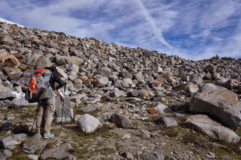
Two years ago snow persuaded us to drop down, but this time we were (overly, as it would end up) optimistic that we could thread our way between the various snowfields:
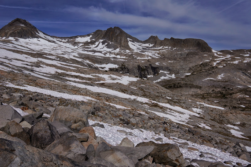
It ended up taking us a long time to navigate between the snowfields, climbing or dropping to minimize the on-snow travel. The snow was actually decent enough to travel on, consisting of mostly small, firm sun cups.


After a long time, we reached iced-over Maclure Lake.

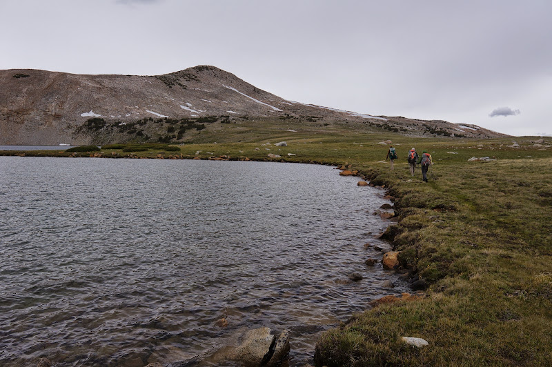
The cloud cover was increasing as the forecast system moved in, and a brisk breeze chilled the air. We continued contouring along, following a mostly-level shelf:
Lake 11275 was also ice covered.

Eventually we reached the small basin with the four small lakes and began our final climb over the ridge into Ireland Lake's extensive basin.
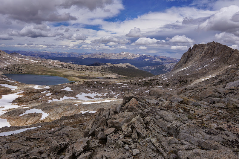
Ireland Lake, Parsons Peak, and Amelia Earhart Peak greeted us on the other side, and we knew that the view was deceptive--it would take a few hours to reach the large Ireland Lake.
Upper Ireland Basin Photosynth
Past experience helped us stay right (east) on the way down, so we avoided getting hung up on steep snowy cliffs above the lake.

The clouds continued to darken, and in the distance we could see rain falling on Kuna Crest, but we remained dry.

We eventually reached the lake, but it still took a bit longer to circle it and intercept its namesake trail.
After traveling down the trail a bit, few sprinkles brought out the hi-viz satellite-rated pack covers, after which the clouds promptly parted.

Due to the weather and the time, we chose to descend via the trail instead of crossing over to the Evelyn Lake basin and descending Evelyn Creek. In retrospect I suspect that if you know the route down Evelyn the Ireland/Evelyn choice is a wash distance and time-wise. Still, the trip back to the car along the Lyell fork was very pleasant, the evening sun casting a warm light across the various meadows we traveled through.


Yes, it may be hard to believe, but there are...
More Pictures
Edited 1 time(s). Last edit at 06/26/2013 06:43PM by basilbop.


