The bird asked if I wanted to go back, which of course I did...
And of course, the bird had no interest in following anything resembling the "as the bird flies" route, for this bird isn't into flying. So while my wife and OD, comprising the saner "B" team--took a direct route to the cool, refreshing waters of Illilouette Creek, I followed the bird through burnt out forests, across sandy flats, and up, over, and down numerous domes en route to the granite gorge and its sparkling pools and cascades.
The first mile or so was through a burnt out forest--many trunks still standing, but many having fallen.
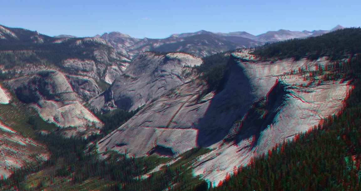
Soon enough, we left the "ghost forest" behind and reached started climbing a rotten granite ridge with views of Horse and Horizon ridges.
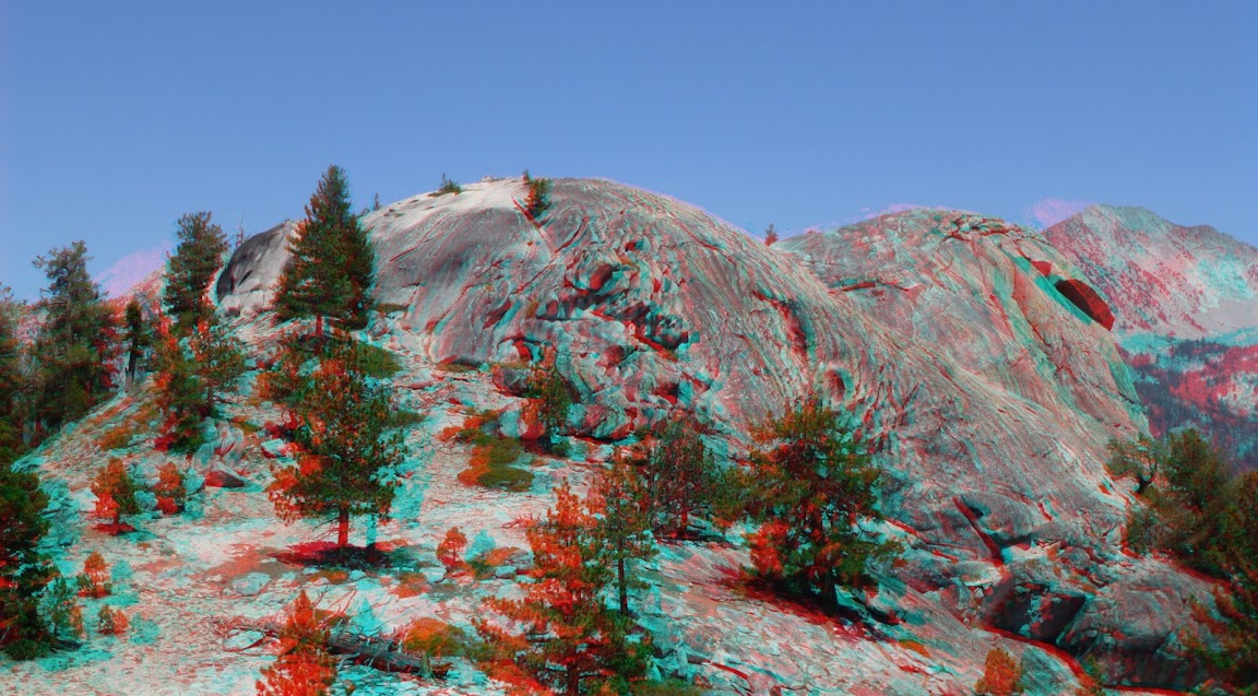
Gently, open terrain led to the top of the first dome, which had very un-Yosemite-like weather-sculpted rocks on top.
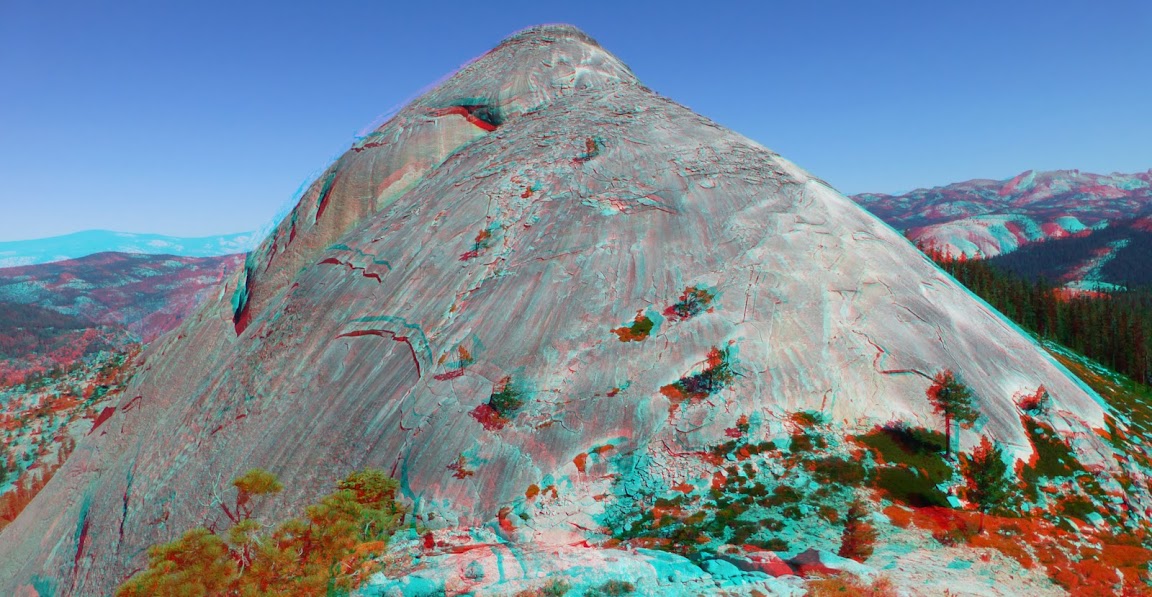
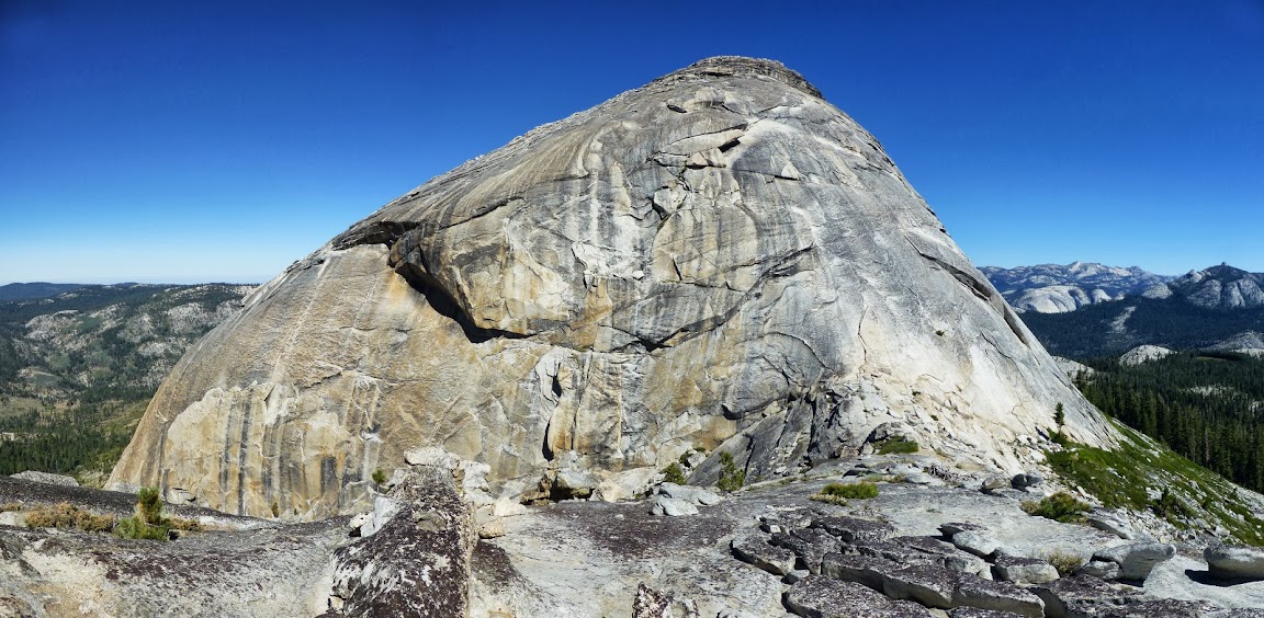
In the distance, we could see the Starr King complex and, in a saddle below it, our night's destination, where we'd meet up with the B team.
After a drop into a gully and a brisk climb out of it, we topped our second dome, with had different, but still very un-Yosemite-like, rocks. While in the Grand Canyon of the Tuolumne it had appeared that liquid water had no impact on the granite, the granite on these domes appeared to be much more susceptible to the effects of water and wind.
Another drop, another climb, and more burnt-out shrubbery-choked forest.
Once on top, it was wide-open hands-in-pockets cross-country goodness, with views in every direction.
There were some unfortunate signs that others had been here... perhaps the water cache from a fire crew long-since gone?
The ridge led to another well-weathered dome-top with numerous small "windows" in the granite.
We made radio contact with Team B, but despite frantic waving around, we couldn't make visual contact. We confirmed that we were still hours from camp, and they confirmed that the camp was dry--we'd need to haul up water from Illilouette.
After a few (dozen) more pictures, we dropped--steeply at times--down to Illilouette.
After a long stop to replenish our depleted water supplies--and take a quick soak in the water--we eventually reached the upper end of the gorge area.
The water was as clear and refreshing up close as it had been a week ago from the rim of the gorge now above us, but our progress along steep, slick granite was slow.
Near the top of the large pool pictured above, we were forced high up the south wall of the gorge.
There were a few dicey sections, but eventually, via separate routes, we reached the bottom of the gorge section.
From there, travel back up-canyon to the large pool was straightforward, and the evening light brought a warm glow to the creek and gorge.
While it was tempting to take another plunge into the pool, the long shadows we cast across it reminded us that we still had a still climb--loaded with water--to reach camp. And Team B.

The five liters of water I was carrying weighed down on me as I slowly climbed to camp, making no real attempt to keep up with the pace of the pink bird.
The views from camp, of course, were worth the effort. While preparing dinner and getting ready for nightfall, we watched the sun set on the nearby Starr King domes and the Illilouette valley below us. At dusk, we could see a few climbers lighting their path back to their camp with headlamps, and in the distance we saw the headlights of cars near Glacier Point.
The nighttime was warm and clear, and even the breeze that blew a bit during the night was warm. At one point I awoke and stared at Pegasus, Cassiopeia, and the Andromeda Galaxy, whose light dated from before the great ice ages that scoured and polished the granite we were surrounded by, but I soon returned to a deep sleep.
The next day, Team B retraced their steps to the Illilouette's inviting waters and the trailhead. The pink bird and I set off on a fool's errand to try to locate a trail that at least one mapmaker believed might exist, connecting Little Yosemite Valley to the Starr King "plateau" area.
The pink bird convinced me that the easiest way to where this trail may have once ended was up and over two of the Starr King domes. (I'm convinced that only our lack of climbing pro kept us off the third one...) So, we set off up steep, open, and grippy granite slabs.
From the saddle between the two southern Starr King domes, we climbed to the southernmost dome, where we rested a bit and took many pictures. We again made radio, but not visual, contact with the B team.
To the north, we could see the dome we'd next climb, and the one we wouldn't behind it.
The climb up the middle dome was a bit steeper, but the granite was clean and gripped well.
As we neared the top, the rock became a bit more fractured, and the top had that weathered appearance we'd seen on all our dome summits.
From this summit, we could see our next destination--Starr King Lake and the open granite ridges to the north of it. Past that we could see many familiar Yosemite landmarks: Clouds Rest, Cathedral Peak, Matthes Crest, the top of the Cascade Cliffs, and Bunnel Point.
After a straightforward descent, we entered a thick forest, where an occasional solitary lily grasped for sunlight.
We soon emerged in a broad, open, sandy flat and could look back on where we'd been not too long ago.
After a bit more dome-and-ridge rambling, we could peer down into LYV and identify the slope that our trail may have once descended. There were no obvious cliff bands or other impassable obstacles.
As for the trail... well, it may have once existed, and the terrain would support construction of a simple duff route, but without significant widening or retaining rockwork, the soft, loose soil and abundant organic material could easily have obscured all traces of it. We followed established game paths down a long but straightforward path, but found no definitive signs--lines of rocks, blazes, cut logs--of a manmade trail.
We eventually reached the floor of LYV, and after threading around more downed trees, reached a logjam that crossed all but the final four or so feet of the Merced River.
We were soon on the trail, which we followed to the top of Nevada Falls where we stopped for lunch and a soak in the warm waters.
We mostly followed the JMT from there to Happy Isles, with a few side excursions.
Near the Vernal Falls bridge we heard that Team B had arrived in the valley; both teams arrived within a minute at the Happy Isles snack stand, where we all enjoyed cool treats.
More Pictures


 ). If not photos, could we at least have GPS tracks of the two different routes? Pretty please?


